Biggin Abbey
Heritage Site in Cambridgeshire South Cambridgeshire
England
Biggin Abbey

Biggin Abbey, located in Cambridgeshire, is a historic heritage site that holds significant architectural and historical importance. The abbey, originally founded in the 12th century, was a Premonstratensian monastery and played a vital role in religious and cultural activities during the medieval period.
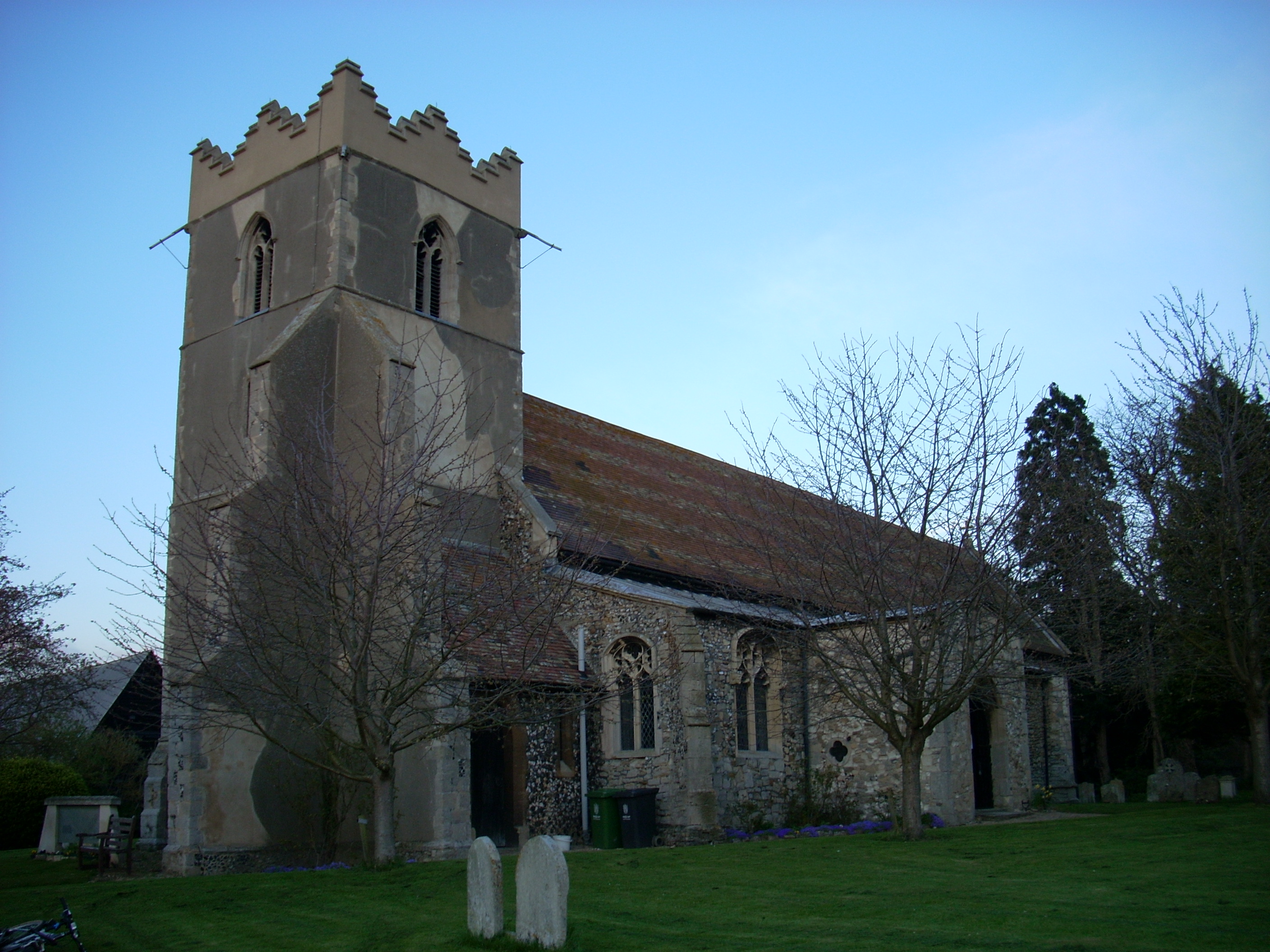
The remains of Biggin Abbey showcase its remarkable architecture, with the most prominent feature being the partially intact abbey church. The church, constructed in the Gothic style, reveals intricate details and carvings, exemplifying the craftsmanship of the time. Visitors can explore the nave, transepts, and the remains of the chancel, gaining insights into the monastic life that once thrived within these walls.
The abbey's cloister, an essential element of monastic architecture, can also be observed. Although largely ruined, its layout and design highlight the daily routines and rituals that took place in these sacred spaces. The surrounding grounds provide a peaceful atmosphere, inviting visitors to reflect on the abbey's historical significance and enjoy the serene surroundings.
Biggin Abbey's rich history extends beyond its architectural beauty. It was a center of spiritual and intellectual life, attracting scholars and theologians from far and wide. The abbey also played a role in local agriculture, with its extensive lands and farms providing sustenance to the community.
Now a protected heritage site, Biggin Abbey offers a glimpse into the past, allowing visitors to appreciate the architectural splendor and immerse themselves in the history and spirituality of this once-thriving monastic community. Whether for educational purposes or leisurely exploration, Biggin Abbey is a must-visit destination for history enthusiasts and those seeking a tranquil retreat in the heart of Cambridgeshire.
If you have any feedback on the listing, please let us know in the comments section below.
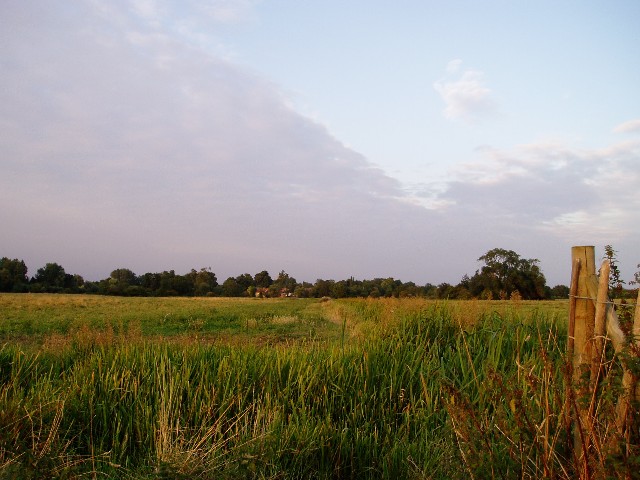
Biggin Abbey Images
Images are sourced within 2km of 52.232/0.175 or Grid Reference TL4861. Thanks to Geograph Open Source API. All images are credited.


Biggin Abbey is located at Grid Ref: TL4861 (Lat: 52.232, Lng: 0.175)
Administrative County: Cambridgeshire
District: South Cambridgeshire
Police Authority: Cambridgeshire
What 3 Words
///deals.impulsive.desk. Near Waterbeach, Cambridgeshire
Nearby Locations
Related Wikis
Horningsea
Horningsea is a small village north of Cambridge in Cambridgeshire in England. The parish covers an area of 2.6 square miles (6.7 km2; 1,700 acres). It...

Fen Ditton
Fen Ditton is a village on the northeast edge of Cambridge in Cambridgeshire, England. The parish covers an area of 5.99 square kilometres (2 sq mi). Fen...
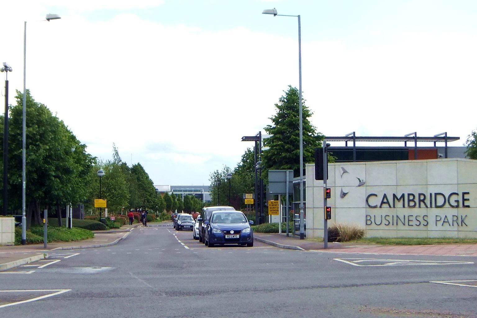
Cambridge Business Park
Cambridge Business Park is a large business complex in Cambridge, England, owned by the Crown Estate. It is home to many companies, mostly IT-related,...

St John's Innovation Centre
St John's Innovation Centre (SJIC) is a business incubator in Cambridge, England. It houses a concentration of science and technology related businesses...

Cambridge North railway station
Cambridge North railway station is a railway station located in the Cambridge suburb of Chesterton, close to Cambridge Science Park. The station is on...
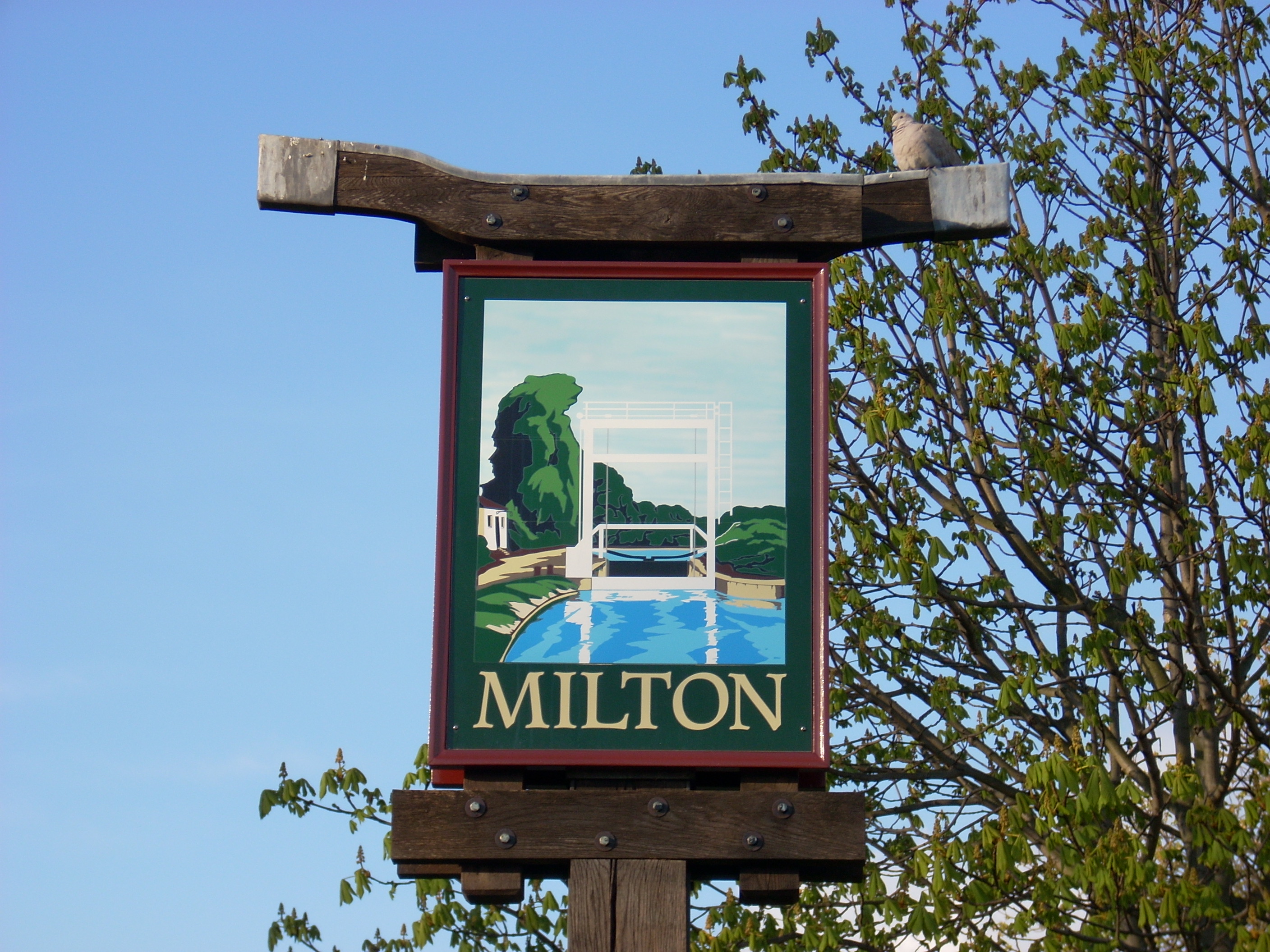
Milton, Cambridgeshire
Milton is a village just north of Cambridge, England, with a population of 4,679 at the 2011 census. == History == Milton grew from a small population...
TeraView
TeraView Limited, or TeraView, is a company that designs terahertz imaging and spectroscopy instruments and equipment for measurement and evaluation of...
Chesterton railway station
Chesterton railway station was located on the line between Cambridge and Histon. It opened in 1850 and closed the same year. == History == In 1846, the...
Nearby Amenities
Located within 500m of 52.232,0.175Have you been to Biggin Abbey?
Leave your review of Biggin Abbey below (or comments, questions and feedback).