Chesterton Fen
Lake, Pool, Pond, Freshwater Marsh in Cambridgeshire South Cambridgeshire
England
Chesterton Fen

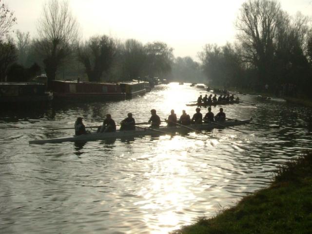
Chesterton Fen is a picturesque wetland located in Cambridgeshire, England. Covering an area of approximately 70 acres, it is a unique and diverse habitat consisting of a lake, pool, pond, and freshwater marsh.
The focal point of Chesterton Fen is its pristine lake, which spans across a significant portion of the fen. The lake is fed by several small streams and is home to a variety of aquatic plants and animals. It provides a tranquil setting for visitors to enjoy the beauty of nature and observe birdlife.
Adjacent to the lake is a pool, a smaller body of water that offers a different ecological environment. The pool is often frequented by waterfowl and serves as a breeding ground for various species.
A pond can also be found within the fen, providing a sheltered habitat for amphibians and invertebrates. This small water body serves as an important breeding ground for frogs, newts, and dragonflies.
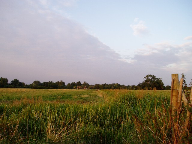
Surrounding these water bodies is a lush freshwater marsh characterized by its rich vegetation, including reeds, sedges, and grasses. The marshland provides an ideal habitat for numerous species of birds, insects, and small mammals.
Chesterton Fen is not only a haven for wildlife, but it also offers recreational opportunities for visitors. There are footpaths and trails around the fen, allowing people to explore and appreciate the natural beauty of the area.
Overall, Chesterton Fen is a valuable natural resource, providing a diverse and thriving ecosystem, as well as offering a peaceful retreat for both wildlife and visitors alike.
If you have any feedback on the listing, please let us know in the comments section below.
Chesterton Fen Images
Images are sourced within 2km of 52.229803/0.1668496 or Grid Reference TL4861. Thanks to Geograph Open Source API. All images are credited.


Chesterton Fen is located at Grid Ref: TL4861 (Lat: 52.229803, Lng: 0.1668496)
Administrative County: Cambridgeshire
District: South Cambridgeshire
Police Authority: Cambridgeshire
What 3 Words
///rate.manhole.charities. Near Waterbeach, Cambridgeshire
Nearby Locations
Related Wikis
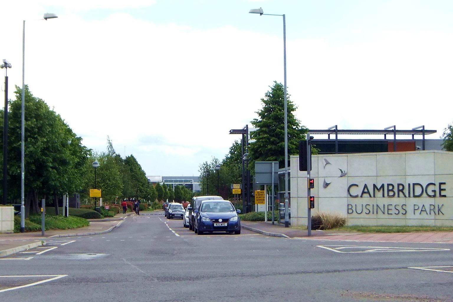
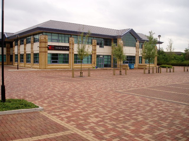
Cambridge Business Park
Cambridge Business Park is a large business complex in Cambridge, England, owned by the Crown Estate. It is home to many companies, mostly IT-related,...

Cambridge North railway station
Cambridge North railway station is a railway station located in the Cambridge suburb of Chesterton, close to Cambridge Science Park. The station is on...

Bramblefields
Bramblefields is a 2.1 hectare Local Nature Reserve in Cambridge. It is owned and managed by Cambridge City Council.The site in the middle of a residential...

St John's Innovation Centre
St John's Innovation Centre (SJIC) is a business incubator in Cambridge, England. It houses a concentration of science and technology related businesses...
Nearby Amenities
Located within 500m of 52.229803,0.1668496Have you been to Chesterton Fen?
Leave your review of Chesterton Fen below (or comments, questions and feedback).