Bigbury Wood

Wood, Forest in Kent Canterbury

England

Bigbury Wood

Oast House
Oast House Credit: Oast House Archive

Bigbury Wood is a sprawling forest located in the county of Kent, England. Covering an area of approximately 350 hectares, it is one of the largest woodlands in the region. Situated near the village of Bigbury, the wood is easily accessible and attracts visitors from both local communities and further afield.

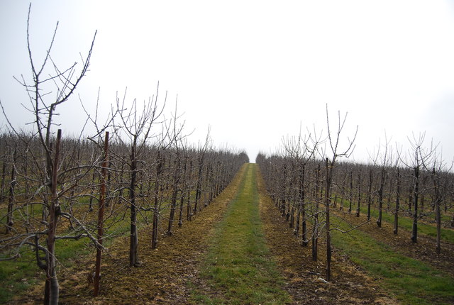
The woodland is characterized by a diverse range of tree species, including oak, beech, ash, and birch. These trees create a dense canopy, allowing little sunlight to penetrate to the forest floor. Consequently, the woodland is shrouded in an air of tranquility, with a cool and damp atmosphere prevailing throughout.

Bigbury Wood is home to a wide array of wildlife, making it a popular destination for nature enthusiasts. The forest provides a natural habitat for several bird species, including woodpeckers, owls, and various songbirds. It is also home to mammals such as deer, foxes, and badgers, which can often be spotted roaming the forest during quieter times of the day.

The wood offers a network of footpaths and trails, allowing visitors to explore its beauty and immerse themselves in nature. It is a favored location for walking, jogging, and cycling, with designated routes catering to all abilities. The wood is particularly stunning during spring, when the forest floor comes alive with bluebells, creating a carpet of vibrant color.

Overall, Bigbury Wood is a cherished natural gem in Kent, offering a peaceful escape from the bustling urban environment. Its diverse flora and fauna, combined with its scenic beauty, make it a delightful destination for anyone seeking solace in nature.

If you have any feedback on the listing, please let us know in the comments section below.
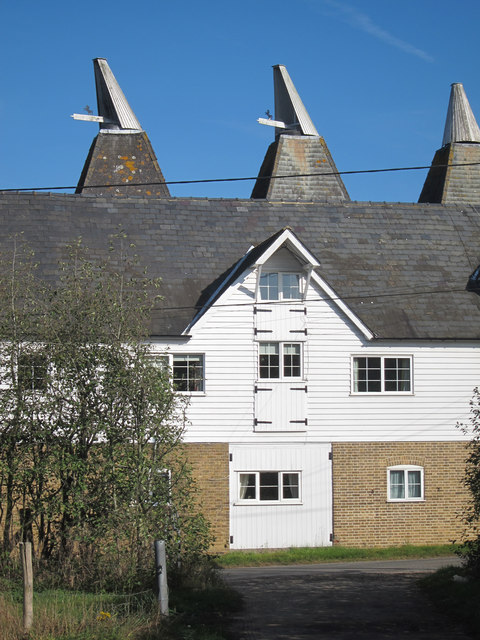
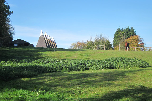
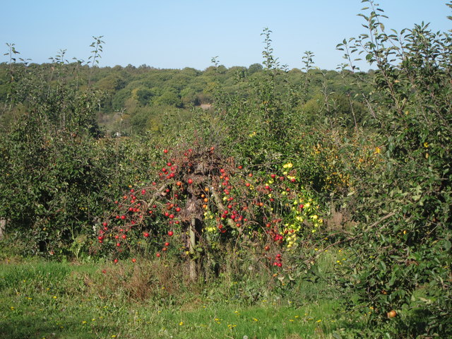
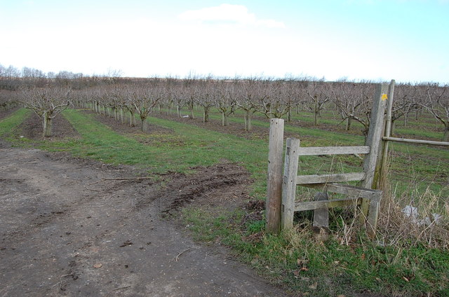
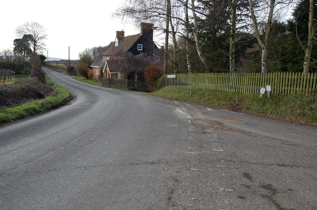
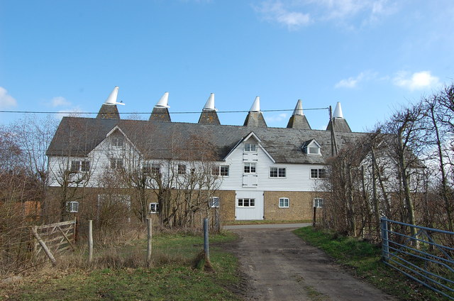
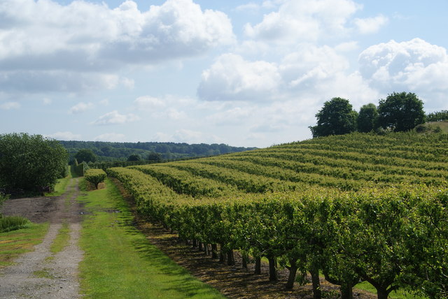
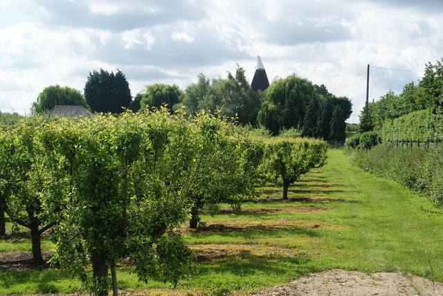
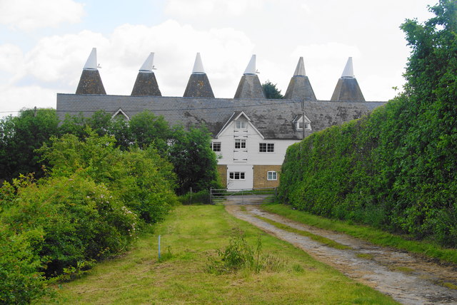
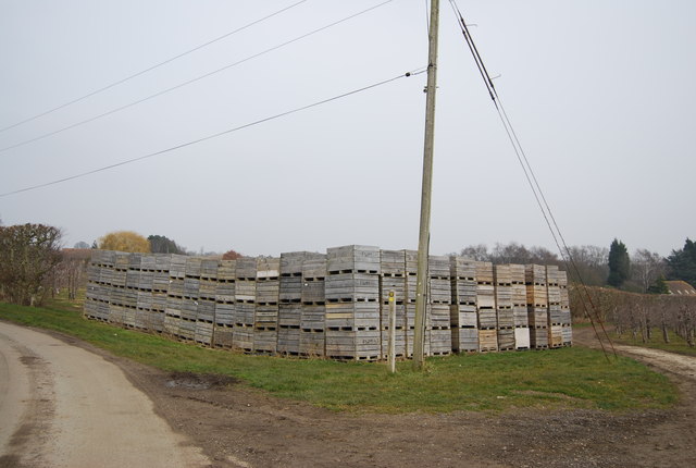
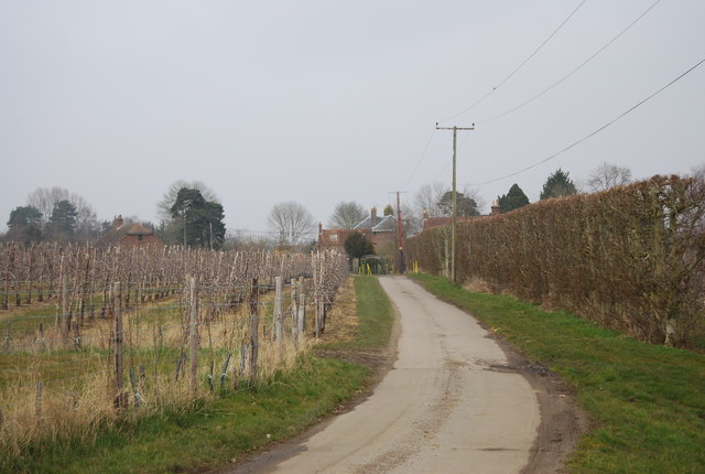
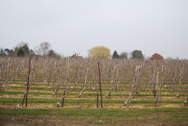
Bigbury Wood Images

Images are sourced within 2km of 51.273682/1.032896 or Grid Reference TR1157. Thanks to Geograph Open Source API. All images are credited.

Denstead Oast, Denstead Lane, Chartham Six square kilned oast house.

Grade II listed.
Denstead Oast, Denstead Lane, Chartham
Six square kilned oast house. Grade II listed.
Denstead Oast, Denstead Lane, Chartham Six square kilned oast house.

Grade II listed.
Denstead Oast, Denstead Lane, Chartham
Six square kilned oast house. Grade II listed.
Denstead Oast, Denstead Lane, Chartham Six square kilned oast house.

Grade II listed.
Denstead Oast, Denstead Lane, Chartham
Six square kilned oast house. Grade II listed.
Denstead Oast, Denstead Lane, Chartham Six square kilned oast house.

Grade II listed.
Denstead Oast, Denstead Lane, Chartham
Six square kilned oast house. Grade II listed.
Denstead Oast, Denstead Lane, Chartham Six square kilned oast house.

Grade II listed.
Denstead Oast, Denstead Lane, Chartham
Six square kilned oast house. Grade II listed.
Orchard by Denstead Oast
Stile and Orchards, near Chartham Hatch
Junction of Hatch Lane and Primrose Hill
Denstead Oast Six square kilned oast house.

Grade II listed.
Denstead Oast
Six square kilned oast house. Grade II listed.
Orchards on Denstead Lane
Orchards and oast house Typical Kent view. The oast house is looking end on and there are 6 oasts.
Orchards and oast house
Typical Kent view. The oast house is looking end on and there are 6 oasts.
Denstead oast houses
Fruit crates
Fruit crates
The North Downs Way A long distance path in southern England. It runs from Farnham to Dover, past Godalming, Guildford, Dorking, Merstham, Otford and Rochester, along the Surrey Hills Area of Outstanding Natural Beauty (AONB) and Kent Downs AONB. East of Boughton Lees, the path splits in two, the northern section running via Canterbury and the southern via Wye. The two sections of the path reunite at Dover. The northern route is 211 km long, and the southern route 201 km, the total length of the North Downs Way being 246 km.
The pathway is mixed in that it varies throughout its length from footpath status to bridleway, byway and road. Some 19% of the Way follows roads, though 75% of those are minor lanes. It is marked by an acorn. See <a href="https://www.geograph.org.uk/photo/1165027">TQ6561 : Crossover in Long Distance pathways</a>.
See <span class="nowrap"><a title="http://www.nationaltrail.co.uk/Northdowns/" rel="nofollow ugc noopener" href="http://www.nationaltrail.co.uk/Northdowns/">Link</a><img style="margin-left:2px;" alt="External link" title="External link - shift click to open in new window" src="https://s1.geograph.org.uk/img/external.png" width="10" height="10"/></span> for more details and an interactive map of the trail.
The North Downs Way
A long distance path in southern England. It runs from Farnham to Dover, past Godalming, Guildford, Dorking, Merstham, Otford and Rochester, along the Surrey Hills Area of Outstanding Natural Beauty (AONB) and Kent Downs AONB. East of Boughton Lees, the path splits in two, the northern section running via Canterbury and the southern via Wye. The two sections of the path reunite at Dover. The northern route is 211 km long, and the southern route 201 km, the total length of the North Downs Way being 246 km. The pathway is mixed in that it varies throughout its length from footpath status to bridleway, byway and road. Some 19% of the Way follows roads, though 75% of those are minor lanes. It is marked by an acorn. See TQ6561 : Crossover in Long Distance pathways. See LinkExternal link for more details and an interactive map of the trail.
Fruit trees
Fruit trees
Rows of trees
Rows of trees
Oast houses on Denstead Lane, Chartham Hatch Most oast houses have been converted to become homes. This is one of the largest types to be seen in Kent.
Oast houses on Denstead Lane, Chartham Hatch
Most oast houses have been converted to become homes. This is one of the largest types to be seen in Kent.
Show me another place!

Bigbury Wood is located at Grid Ref: TR1157 (Lat: 51.273682, Lng: 1.032896)

Administrative County: Kent

District: Canterbury

Police Authority: Kent

What 3 Words

///mixer.craters.conductor. Near Chartham, Kent

Nearby Locations

Bigbury Bigbury Wood

Related Wikis

Bigbury Camp

Bigbury Camp (formerly Bigberry Camp) is a univallate hill fort in the parish of Harbledown and Rough Common in Kent in England. The fort is a Scheduled...

No Man's Orchard

No Man's Orchard is a 4.1-hectare (10-acre) Local Nature Reserve west of Canterbury in Kent. It is owned by Chartham and Harbledown Parish Councils and...

Chartham

Chartham is a village and civil parish in the Canterbury district of Kent, England. It is situated on the Ashford side of the city, and is in the North...

Upper Harbledown

Upper Harbledown is a village in Harbledown and Rough Common civil parish about 2 miles (3 km) west of Canterbury, Kent, England. The population is roughly...

Thanington

Thanington is a civil parish on the west edge of Canterbury, Kent, United Kingdom. It extends to the south-west of A2 from Wincheap to the Milton Bridge...

Harbledown

Harbledown is a village in Kent, England, immediately west of Canterbury and contiguous with the city. At local government level the village is designated...

St Michael and All Angels Church, Harbledown

The Church of St Michael and All Angels is a Norman stone church in the village of Harbledown, near Canterbury, England. A part of the Church of England...

Larkey Valley Wood

Larkey Valley Wood is a 44.1-hectare (109-acre) biological Site of Special Scientific Interest south of Canterbury in Kent. It is also a Local Nature Reserve...

Nearby Amenities

Located within 500m of 51.273682,1.032896
Barrier: stile
Foot: yes
Lat/Long: 51.2775572/1.0314079
Barrier: stile
Lat/Long: 51.274549/1.0366535
The data included in this document is from www.openstreetmap.org. The data is made available under ODbL.

Have you been to Bigbury Wood?

Leave your review of Bigbury Wood below (or comments, questions and feedback).