Beningbrough Hall
Heritage Site in Yorkshire Harrogate
England
Beningbrough Hall

Beningbrough Hall, located in North Yorkshire, England, is a magnificent Georgian mansion that stands as a testament to the elegance and grandeur of the era. The hall, built in the early 18th century, is set amidst stunning landscaped gardens and parkland, making it a popular destination for history enthusiasts and nature lovers alike.
The architecture of Beningbrough Hall reflects the Georgian style, with its symmetrical façade, red brick exterior, and sash windows. The interior of the hall is equally impressive, featuring beautifully decorated rooms filled with period furniture, artwork, and intricate plasterwork. Visitors can explore the various rooms, including the saloon, library, and bedrooms, which provide a glimpse into the lives of the families who once resided there.
In addition to the main hall, Beningbrough boasts extensive gardens and parkland that cover over 300 acres. The gardens are a delight for horticulture enthusiasts, featuring a walled garden, herbaceous borders, and a working kitchen garden that supplies fresh produce for the hall's café. The parkland is perfect for leisurely walks, with well-maintained paths that meander through woodlands and alongside the River Ouse.
Beningbrough Hall is also known for its impressive collection of portraits, which is on loan from the National Portrait Gallery. The portraits showcase prominent figures from British history, including politicians, artists, and writers. Visitors can explore the gallery and learn about the stories behind these influential individuals.
Overall, Beningbrough Hall offers a captivating journey through history, combining stunning architecture, beautiful gardens, and an exceptional art collection. It is a must-visit destination for those seeking to immerse themselves in the rich cultural heritage of Yorkshire.
If you have any feedback on the listing, please let us know in the comments section below.
Beningbrough Hall Images
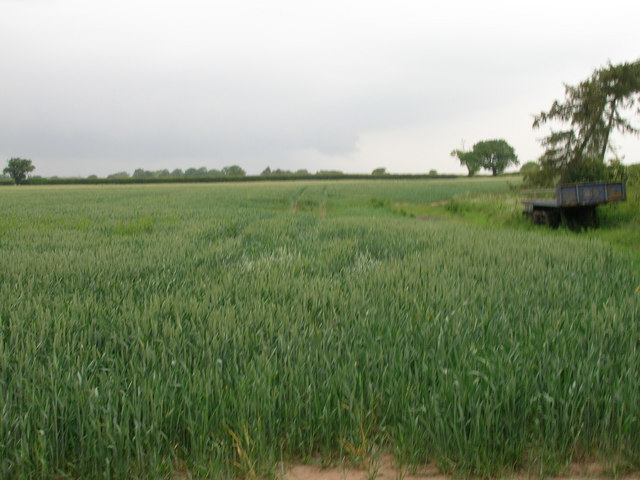
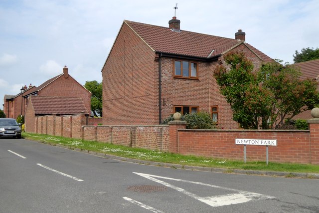
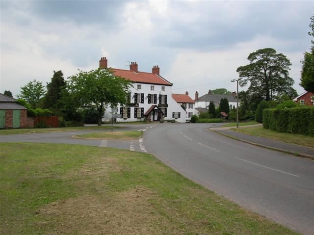
Images are sourced within 2km of 54.021/-1.214 or Grid Reference SE5158. Thanks to Geograph Open Source API. All images are credited.


Beningbrough Hall is located at Grid Ref: SE5158 (Lat: 54.021, Lng: -1.214)
Division: North Riding
Administrative County: North Yorkshire
District: Harrogate
Police Authority: North Yorkshire
What 3 Words
///snoring.deform.detonated. Near Linton upon Ouse, North Yorkshire
Nearby Locations
Related Wikis
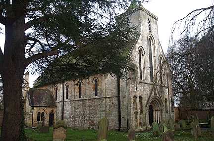
St Mary's Church, Nun Monkton
St Mary's Church is the parish church of Nun Monkton, in North Yorkshire, in England. == History == Nun Monkton Priory was founded in 1172 by Ivetta of...

River Nidd
The River Nidd is a tributary of the River Ouse in the English county of North Yorkshire. In its first few miles it is dammed three times to create Angram...

Nun Monkton
Nun Monkton is a village and civil parish in the Harrogate district of North Yorkshire, England. It is situated 8 miles (13 km) northwest of York at the...

Newton-on-Ouse
Newton-on-Ouse is a village and civil parish in the Hambleton District of North Yorkshire, England, about 7 miles (11 km) north-west of York. It lies on...

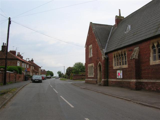
Beningbrough
Beningbrough is a village and civil parish in the Hambleton district of North Yorkshire, England. The population as taken at the 2011 Census was less than...
River Kyle
The River Kyle is a small river in North Yorkshire, England. At just under 6 miles (9.7 km) long, it is one of the shortest classified main rivers in the...

Moor Monkton
Moor Monkton is a village and civil parish in the former Harrogate District of North Yorkshire, England. It is situated on the River Nidd and 7 miles...
Red House, Moor Monkton
The Red House is a historic building in Moor Monkton, north-west of York in England. == History == The first Red House was constructed before 1342, when...
Nearby Amenities
Located within 500m of 54.021,-1.214Have you been to Beningbrough Hall?
Leave your review of Beningbrough Hall below (or comments, questions and feedback).