Bennett's Cross

Heritage Site in Devon West Devon

England

Bennett's Cross

Bush Down - Bennett's Cross A wayside cross on the B3212 Moretonhampstead - Two Bridges road, believed to be carved from a prehistoric menhir. It is ca 1.7 metres tall and is a well known Dartmoor landmark. Birch Tor is on the skyline.
<span class="nowrap"><a title="www.dartmoor.gov.uk" rel="nofollow ugc noopener" href="http://www.dartmoor.gov.uk">Link</a><img style="margin-left:2px;" alt="External link" title="External link - shift click to open in new window" src="https://s1.geograph.org.uk/img/external.png" width="10" height="10"/></span>
Bush Down - Bennett's Cross Credit: Colin Smith

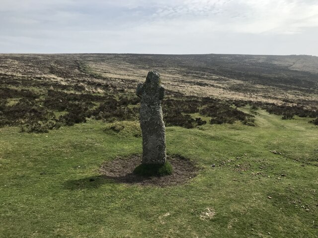
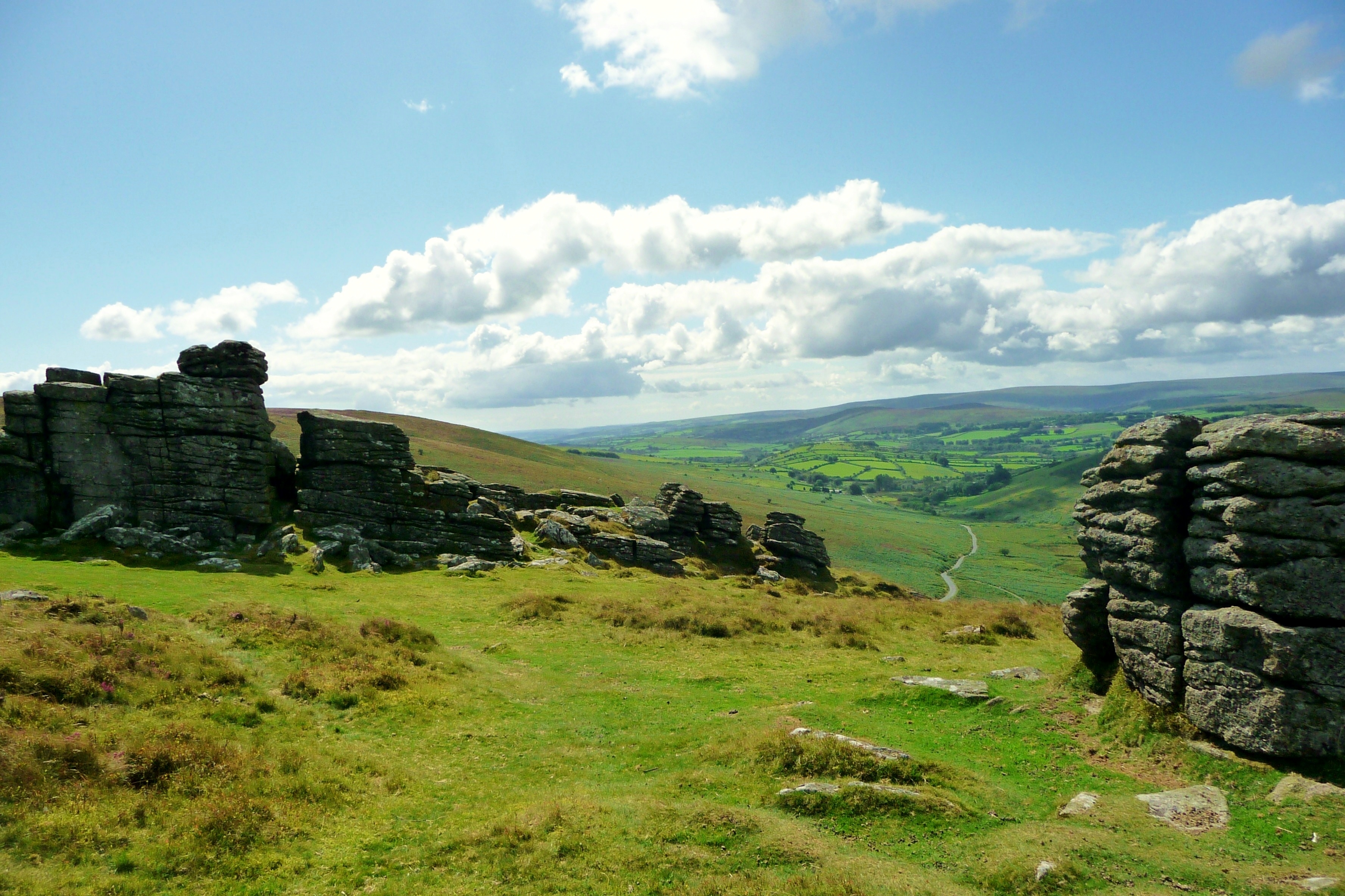
Bennett's Cross is a well-preserved historical site located in the rural county of Devon, England. Situated on the eastern edge of Dartmoor National Park, this ancient granite cross stands as a testament to the region's rich heritage and cultural significance. Dating back to the medieval period, Bennett's Cross serves as a prominent landmark for travelers and locals alike.

The cross itself stands at an impressive height of 3 meters, making it one of the tallest crosses in Dartmoor. It consists of a single piece of granite, intricately carved with decorative motifs, including interlacing patterns and religious symbols. Despite its age, the cross remains remarkably intact, thanks to meticulous restoration efforts over the years.

Bennett's Cross holds historical significance as a marker for an ancient trackway that traversed the moor. It is believed to have served as a guiding point for pilgrims and traders during the medieval period. Today, the cross continues to attract visitors who are fascinated by its historical and cultural importance.

Surrounded by picturesque moorland and rolling hills, Bennett's Cross offers visitors a unique opportunity to immerse themselves in the natural beauty of the Dartmoor landscape. The site is easily accessible, with a nearby parking area and well-maintained footpaths leading to the cross.

As a heritage site, Bennett's Cross is protected by the Dartmoor National Park Authority, ensuring its preservation for future generations. Its historical significance, combined with its natural beauty, makes it a must-visit destination for history enthusiasts and nature lovers alike.

If you have any feedback on the listing, please let us know in the comments section below.

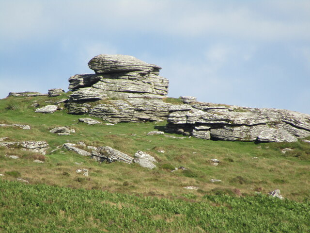
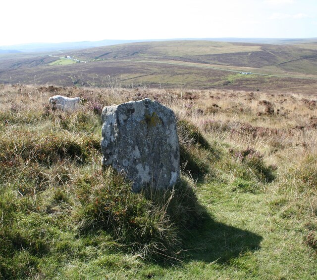
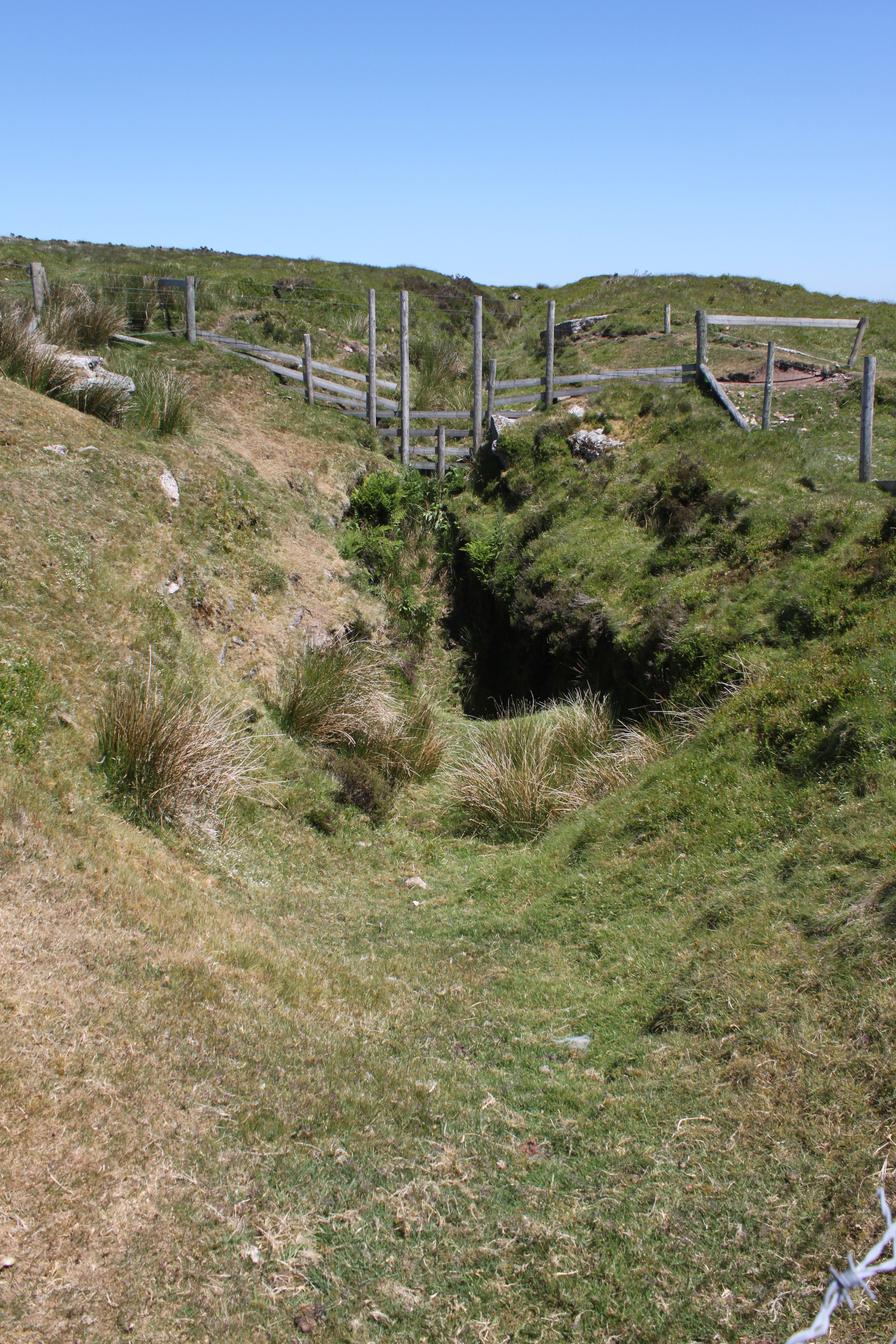
Bennett's Cross Images

Images are sourced within 2km of 50.617/-3.873 or Grid Reference SX6781. Thanks to Geograph Open Source API. All images are credited.

Bush Down - Bennett's Cross A wayside cross on the B3212 Moretonhampstead - Two Bridges road, believed to be carved from a prehistoric menhir. It is ca 1.7 metres tall and is a well known Dartmoor landmark. Birch Tor is on the skyline.
<span class="nowrap"><a title="www.dartmoor.gov.uk" rel="nofollow ugc noopener" href="http://www.dartmoor.gov.uk">Link</a><img style="margin-left:2px;" alt="External link" title="External link - shift click to open in new window" src="https://s1.geograph.org.uk/img/external.png" width="10" height="10"/></span>
Bush Down - Bennett's Cross
A wayside cross on the B3212 Moretonhampstead - Two Bridges road, believed to be carved from a prehistoric menhir. It is ca 1.7 metres tall and is a well known Dartmoor landmark. Birch Tor is on the skyline. LinkExternal link
Bush Down - Bennett's Cross A roadside cross, believed to have been carved from a prehistoric menhir. It is ca 1.7 metres high.
<span class="nowrap"><a title="www.dartmoor.gov.uk" rel="nofollow ugc noopener" href="http://www.dartmoor.gov.uk">Link</a><img style="margin-left:2px;" alt="External link" title="External link - shift click to open in new window" src="https://s1.geograph.org.uk/img/external.png" width="10" height="10"/></span>
Bush Down - Bennett's Cross
A roadside cross, believed to have been carved from a prehistoric menhir. It is ca 1.7 metres high. LinkExternal link
Birch Tor Granite jointed and weathered rocks on the moorland above Bennett's Cross.
<span class="nowrap"><a title="www.dartmoor.gov.uk" rel="nofollow ugc noopener" href="http://www.dartmoor.gov.uk">Link</a><img style="margin-left:2px;" alt="External link" title="External link - shift click to open in new window" src="https://s1.geograph.org.uk/img/external.png" width="10" height="10"/></span>
Birch Tor
Granite jointed and weathered rocks on the moorland above Bennett's Cross. LinkExternal link
Old Boundary Marker north of Birch Tor, North Bovey parish Estate Boundary Marker 10 metres northwest of the tumulus on Birch Tor. North Bovey parish. Inscribed W B to mark the boundary of the Headland Warren, and dating from 1780. Grade II Listed details <span class="nowrap"><a title="https://historicengland.org.uk/listing/the-list/list-entry/1021341" rel="nofollow ugc noopener" href="https://historicengland.org.uk/listing/the-list/list-entry/1021341">Link</a><img style="margin-left:2px;" alt="External link" title="External link - shift click to open in new window" src="https://s1.geograph.org.uk/img/external.png" width="10" height="10"/></span>.

Milestone Society National ID: DV_CCFB04em
Old Boundary Marker north of Birch Tor, North Bovey parish
Estate Boundary Marker 10 metres northwest of the tumulus on Birch Tor. North Bovey parish. Inscribed W B to mark the boundary of the Headland Warren, and dating from 1780. Grade II Listed details LinkExternal link. Milestone Society National ID: DV_CCFB04em
Bronze Age Reave on Assycombe Hill A reave is the name given to prehistoric field boundaries on Dartmoor.
Bronze Age Reave on Assycombe Hill
A reave is the name given to prehistoric field boundaries on Dartmoor.
Tinworks and Strip Lynchets at Challacombe <span class="nowrap"><a title="https://historicengland.org.uk/listing/the-list/list-entry/1021393?section=official-listing" rel="nofollow ugc noopener" href="https://historicengland.org.uk/listing/the-list/list-entry/1021393?section=official-listing">Link</a><img style="margin-left:2px;" alt="External link" title="External link - shift click to open in new window" src="https://s1.geograph.org.uk/img/external.png" width="10" height="10"/></span>
Tinworks and Strip Lynchets at Challacombe
Stone Shelter near Hookney Tor
Bennett's Cross
Bennett's Cross
Small clapper bridge
Dartmoor near Statts Bridge
Datmoor near the Warren House Inn
Chagford Common
Chagford Common
Chagford Common
Chagford Common
Approaching Statts Bridge The B3212 crossing Dartmoor and approaching Statts Bridge.
Approaching Statts Bridge
The B3212 crossing Dartmoor and approaching Statts Bridge.
The B3212 crossing Dartmoor The B3212 crossing Dartmoor near Warren House Inn.
The B3212 crossing Dartmoor
The B3212 crossing Dartmoor near Warren House Inn.
Dartmoor near Warren House Inn
The B3212 near Water Hill The B3212 near Water Hill on Dartmoor.
The B3212 near Water Hill
The B3212 near Water Hill on Dartmoor.
The B3212 crossing Dartmoor
Show me another place!

Bennett's Cross is located at Grid Ref: SX6781 (Lat: 50.617, Lng: -3.873)

Administrative County: Devon

District: West Devon

Police Authority: Devon and Cornwall

What 3 Words

///itself.retrieves.cones. Near Chagford, Devon

Nearby Locations

Bennett's Cross Water Hill

Related Wikis

Warren House Inn

The Warren House Inn is a remote and isolated public house in the heart of Dartmoor, Devon, England. It is the highest pub in southern England at 1,425...

Birch Tor and Vitifer mine

Birch Tor and Vitifer mine was a tin mine on Dartmoor, Devon, England. Located in the valley of the Redwater Brook, to the east of the B3212 Moretonhampstead...

Hookney Tor

Hookney Tor is a tor, situated on Dartmoor in Devon, England. It lies on the Two Moors Way and remains of Headland Warren farm and Vitifer Mine are also...

Grimspound

Grimspound is a late Bronze Age settlement, situated on Dartmoor in Devon, England. It consists of a set of 24 hut circles surrounded by a low stone wall...

Postbridge

Postbridge is a hamlet in the heart of Dartmoor in the English county of Devon. It lies on the B3212, roughly midway between Princetown and Moretonhampstead...
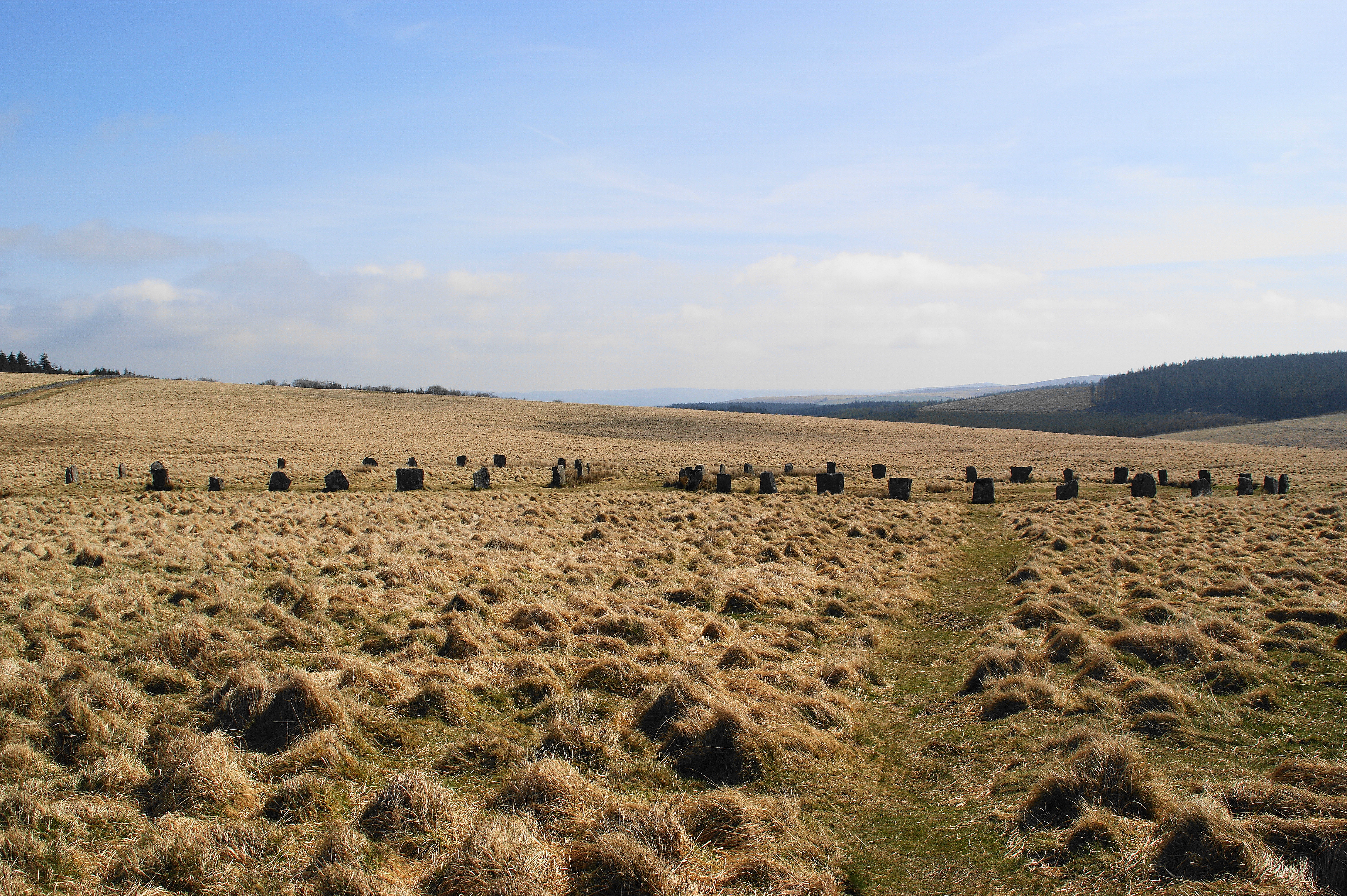
Grey Wethers

Grey Wethers consists of a pair of prehistoric stone circles, situated on grassy plateau to the north of Postbridge, Dartmoor, in the United Kingdom....

Frenchbeer

Frenchbeer is a settlement in Devon, England. It is in Dartmoor national park. Fernworthy reservoir is to the south and so is the South Teign river. Chagford...

Bellever

Bellever is a hamlet in Dartmoor, Devon, England. It is located on the river East Dart about 2 kilometres (1 mi) south of Postbridge. The first mention...

Nearby Amenities

Located within 500m of 50.617,-3.873
Water Hill
Natural: peak
Source: NPE
Lat/Long: 50.6160299/-3.8791593
Bennett's Cross
Historic: wayside_cross
Source: NPE
Wikidata: Q17648508
Lat/Long: 50.6193871/-3.8672214
Man Made: cairn
Source: GPS, additional GPS using meaned fix utility over 2 mins at 1x fix per second.
Wpt Symbol: Dot
Lat/Long: 50.6161679/-3.879084
Historic: milestone
Lat/Long: 50.6164151/-3.8711189
Leisure: picnic_table
Lat/Long: 50.6129774/-3.8748534
The data included in this document is from www.openstreetmap.org. The data is made available under ODbL.

Have you been to Bennett's Cross?

Leave your review of Bennett's Cross below (or comments, questions and feedback).