Barscobe Castle

Heritage Site in Kirkcudbrightshire

Scotland

Barscobe Castle

War memorial above Balmaclellan Balmaclellan's war memorial is on the north side of the A712 above the small settlement which is out of view.
War memorial above Balmaclellan Credit: Trevor Littlewood

Barscobe Castle is a historic fortress located in Kirkcudbrightshire, Scotland, dating back to the 16th century. Situated amidst picturesque countryside, this heritage site offers a fascinating glimpse into Scotland's past.

The castle, built in the Scottish Baronial style, is a four-story tower house constructed with traditional local materials such as whinstone and sandstone. It features a distinctive L-plan design, with a projecting wing and a square tower. The structure is surrounded by a beautiful walled garden, which adds to its scenic charm.

Barscobe Castle has witnessed numerous historical events throughout its existence. It was originally owned by the Maxwell family, who played a significant role in Scottish history. The castle was later passed down through generations until it fell into disrepair in the 18th century. Thankfully, efforts were made to restore and preserve the castle in the 20th century, ensuring its survival as a heritage site.

Visitors to Barscobe Castle can explore its interior, which is filled with period furniture and artifacts, providing an authentic insight into the castle's former inhabitants. The castle's rooms include a great hall, a drawing-room, bedrooms, and a kitchen, all of which are decorated in a manner reminiscent of the era in which it was inhabited.

Surrounded by tranquil countryside, Barscobe Castle offers visitors a peaceful and scenic setting. The castle's grounds provide opportunities for leisurely walks, picnics, and photography, making it an ideal destination for history enthusiasts and nature lovers alike.

In summary, Barscobe Castle is a well-preserved Scottish Baronial tower house in Kirkcudbrightshire, offering visitors an immersive experience into Scotland's rich history and architectural heritage.

If you have any feedback on the listing, please let us know in the comments section below.

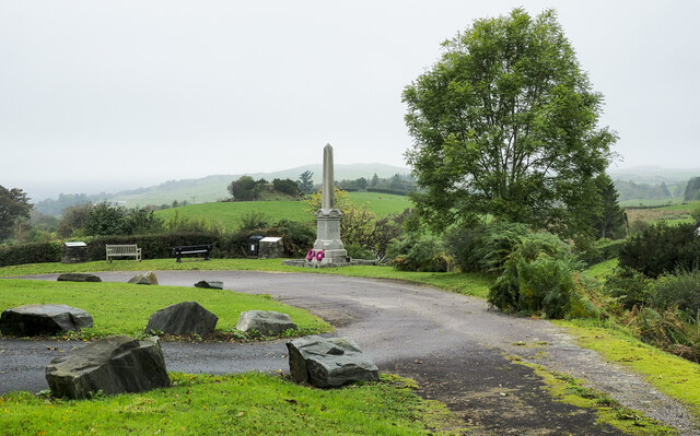
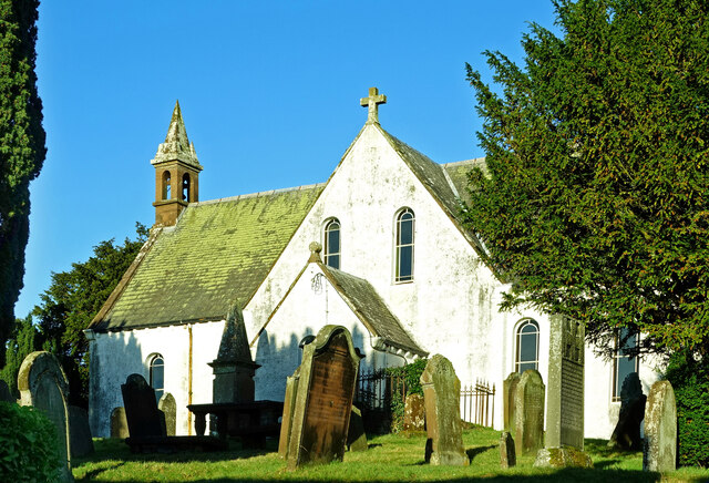
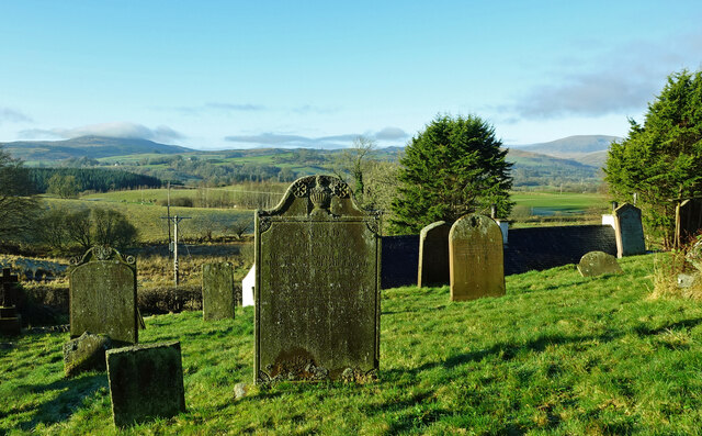
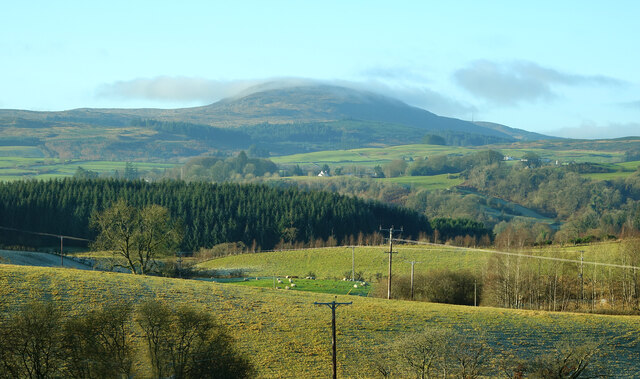
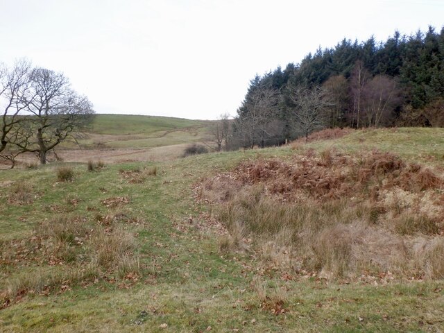
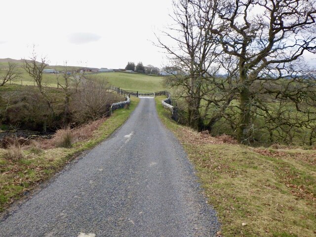
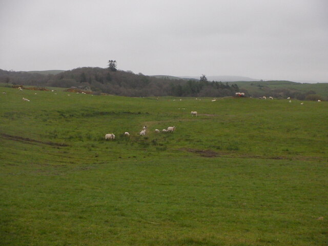
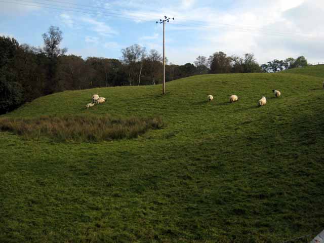
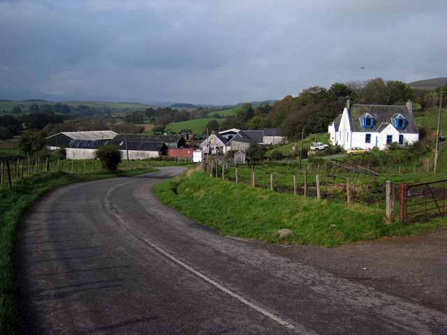
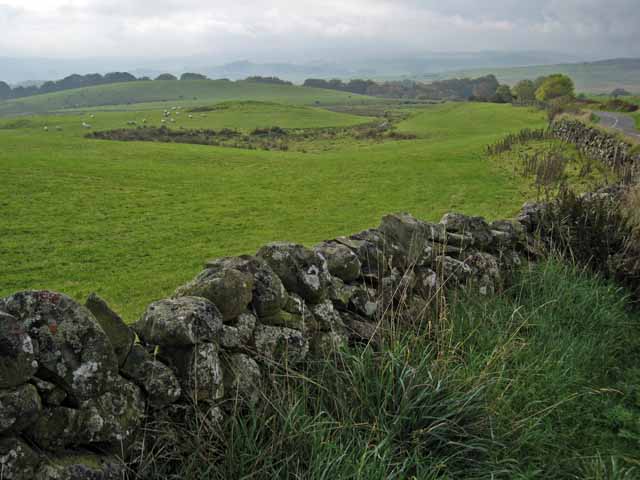
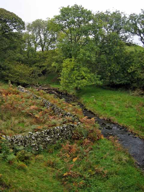
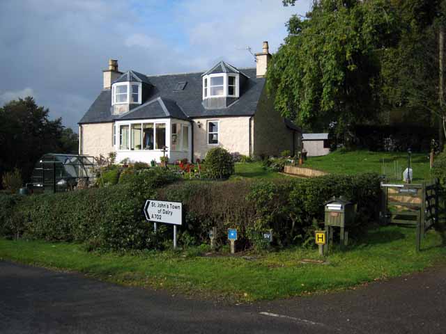
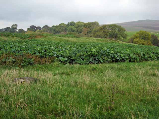
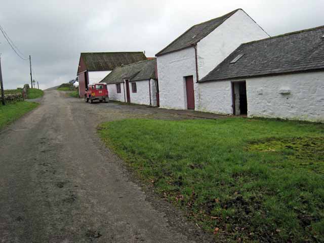
Barscobe Castle Images

Images are sourced within 2km of 55.1019/-4.1021 or Grid Reference NX6580. Thanks to Geograph Open Source API. All images are credited.

War memorial above Balmaclellan Balmaclellan's war memorial is on the north side of the A712 above the small settlement which is out of view.
War memorial above Balmaclellan
Balmaclellan's war memorial is on the north side of the A712 above the small settlement which is out of view.
Balmaclellan Church Many of these churches in small rural communities have monthly Sunday services. Balmaclellan’s turn is the first Sunday of each month.
Balmaclellan Church
Many of these churches in small rural communities have monthly Sunday services. Balmaclellan’s turn is the first Sunday of each month.
Balmaclellan Graveyard The gravestones show that this is a very old religious site with burials recorded in the early 18th century.
Balmaclellan Graveyard
The gravestones show that this is a very old religious site with burials recorded in the early 18th century.
Balmaclellan Graveyard view There can’t be many churches that enjoy such a wonderful view of the local countryside. Mulloch Hill is shown on the skyline.
Balmaclellan Graveyard view
There can’t be many churches that enjoy such a wonderful view of the local countryside. Mulloch Hill is shown on the skyline.
Near Half Mark Grassland now greening up near Half Mark Bridge.
Near Half Mark
Grassland now greening up near Half Mark Bridge.
Half Mark Bridge
Half Mark Bridge
Sheep, Court Knowe
Sheep, Court Knowe
Field with sheep above the Garple Burn Seen from the B7075 Bogue to New Galloway road.
Field with sheep above the Garple Burn
Seen from the B7075 Bogue to New Galloway road.
Bogue Farm Seen on the A702 New Galloway to Thornhill road.
Bogue Farm
Seen on the A702 New Galloway to Thornhill road.
Field near Bogue Seen from the A702 Dalry to Thornhill road.
Field near Bogue
Seen from the A702 Dalry to Thornhill road.
Lochinvar Burn, near Milnmark
Bogue Toll Old tollhouse on the A 702 road from Thornhill to St John's Town of Dalry.
Bogue Toll
Old tollhouse on the A 702 road from Thornhill to St John's Town of Dalry.
Field of fodder crop near Bogue Seen from the A702 road from Thornhill to St John's Town of Dalry. The line of trees marks the valley of the Lochinvar Burn.
Field of fodder crop near Bogue
Seen from the A702 road from Thornhill to St John's Town of Dalry. The line of trees marks the valley of the Lochinvar Burn.
Milnmark Farm on the road to Lochinvar.
Milnmark
Farm on the road to Lochinvar.
Rough grazing farmland Viewed from the A702 with the plantation on Loch Hill beyond.
Rough grazing farmland
Viewed from the A702 with the plantation on Loch Hill beyond.
The A702
The A702
Old Road Sign. Warning sign giving advance notice of the narrow bridge spanning the Garple Burn.
Old Road Sign.
Warning sign giving advance notice of the narrow bridge spanning the Garple Burn.
Holy Linn, Garple Burn. In Covenanting times this waterfall was used for baptism, hence the name.
Holy Linn, Garple Burn.
In Covenanting times this waterfall was used for baptism, hence the name.
Show me another place!

Barscobe Castle is located at Grid Ref: NX6580 (Lat: 55.1019, Lng: -4.1021)

Unitary Authority: Dumfries and Galloway

Police Authority: Dumfries and Galloway

What 3 Words

///touched.sprayer.brotherly. Near Castle Douglas, Dumfries & Galloway

Related Wikis

Barscobe Castle

Barscobe Castle is a 17th-century tower house in Balmaclellan, Kirkcudbrightshire, Scotland. It is a typical house of a country laird, and according to...

Balmaclellan

Balmaclellan (Scottish Gaelic: Baile Mac-a-ghille-dhiolan, meaning town of the MacLellans) is a small hillside village of stone houses with slate roofs...

Ken Bridge

The Ken Bridge is a road bridge about 0.8 kilometres (0.5 mi) north east of New Galloway in Dumfries and Galloway, Scotland, which carries the A712 road...

Kells, Dumfries and Galloway

Kells parish, in the Stewartry of Kirkcudbright in Scotland, is located 14 miles (NWbN) from Castle-Douglas, and 19 miles (NbW) from Kirkcudbright. It...

Nearby Amenities

Located within 500m of 55.1019,-4.1021
Holy Linn
Waterway: waterfall
Lat/Long: 55.1037113/-4.1088355
The data included in this document is from www.openstreetmap.org. The data is made available under ODbL.

Have you been to Barscobe Castle?

Leave your review of Barscobe Castle below (or comments, questions and feedback).