Bartindale Village
Heritage Site in Yorkshire Scarborough
England
Bartindale Village
Bartindale Village is a picturesque heritage site located in the heart of Yorkshire, England. Nestled amidst rolling hills and untouched natural beauty, this charming village offers visitors a glimpse into Yorkshire's rich history and traditional way of life.
Dating back to the 17th century, Bartindale Village is renowned for its well-preserved stone cottages and historic buildings, which showcase the region's architectural heritage. The village's rustic charm is further enhanced by its cobbled streets, quaint gardens, and traditional village green, creating an idyllic setting for leisurely strolls and exploration.
The village is also home to a number of notable landmarks, including the St. Mary's Church, a striking medieval structure that stands as a testament to the village's long-standing religious traditions. Visitors can admire the church's intricate stained glass windows and ornate interior, which reflect the craftsmanship of a bygone era.
For those interested in delving deeper into the village's history, the Bartindale Village Heritage Museum provides a fascinating insight into the local community's past. Housed within a restored 18th-century building, the museum exhibits a range of artifacts, photographs, and documents, allowing visitors to immerse themselves in the village's vibrant history.
Surrounded by breathtaking countryside, Bartindale Village is also a popular destination for outdoor enthusiasts. The village serves as a gateway to the Yorkshire Dales National Park, offering opportunities for hiking, cycling, and wildlife spotting.
In conclusion, Bartindale Village is a captivating heritage site that offers a glimpse into the rich history and natural beauty of Yorkshire. With its well-preserved buildings, charming atmosphere, and access to stunning countryside, this village is a must-visit destination for history buffs and nature lovers alike.
If you have any feedback on the listing, please let us know in the comments section below.
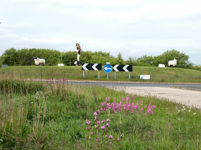
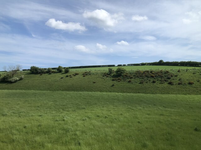
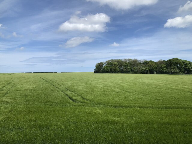
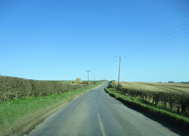
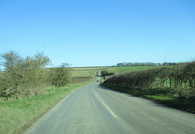
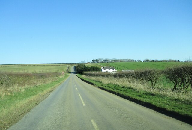
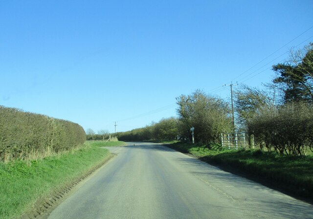
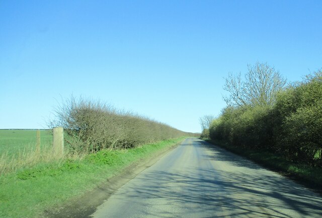
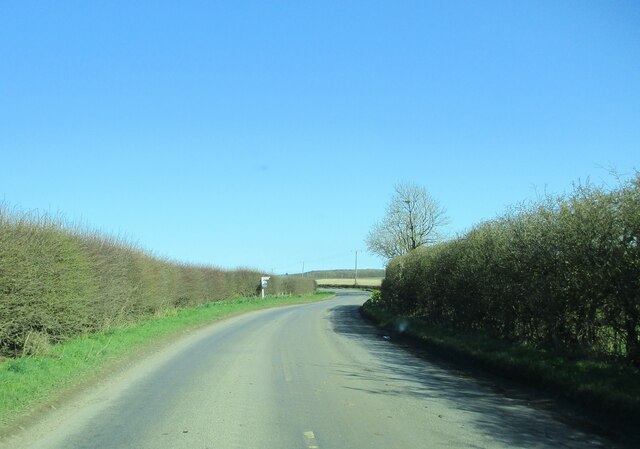
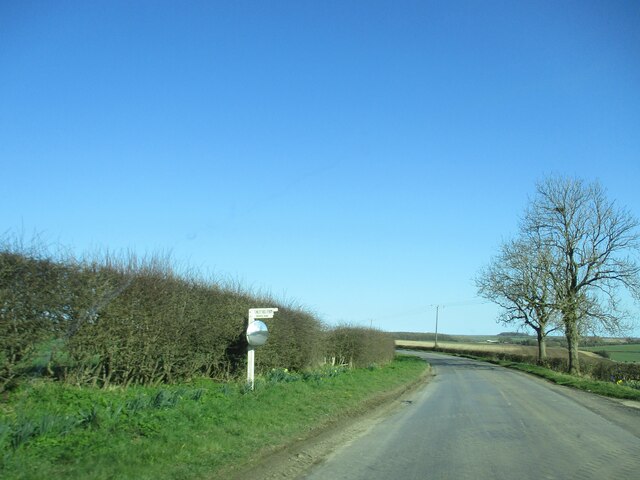
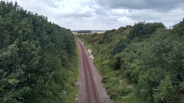
Bartindale Village Images
Images are sourced within 2km of 54.145/-0.293 or Grid Reference TA1173. Thanks to Geograph Open Source API. All images are credited.


Bartindale Village is located at Grid Ref: TA1173 (Lat: 54.145, Lng: -0.293)
Division: East Riding
Administrative County: North Yorkshire
District: Scarborough
Police Authority: North Yorkshire
What 3 Words
///whirlpool.hormones.tasks. Near Grindale, East Yorkshire
Nearby Locations
Related Wikis

Argam
Argam, or Argham (sometimes Ergam, or Ergham), was a civil parish and village in the East Riding of Yorkshire, England. The site is listed in many historical...

Reighton
Reighton is a village and civil parish, in North Yorkshire, England. From the mediaeval era until the 19th century Reighton was part of Dickering Wapentake...

Grindale
Grindale is a village and civil parish in the East Riding of Yorkshire, England. It is situated approximately 4 miles (6 km) north-west of Bridlington...

Speeton railway station
Speeton railway station served the villages of Speeton and Reighton in North Yorkshire, England. It was situated on the Yorkshire Coast Line from Scarborough...
Have you been to Bartindale Village?
Leave your review of Bartindale Village below (or comments, questions and feedback).