Bartindale Plantation
Wood, Forest in Yorkshire Scarborough
England
Bartindale Plantation
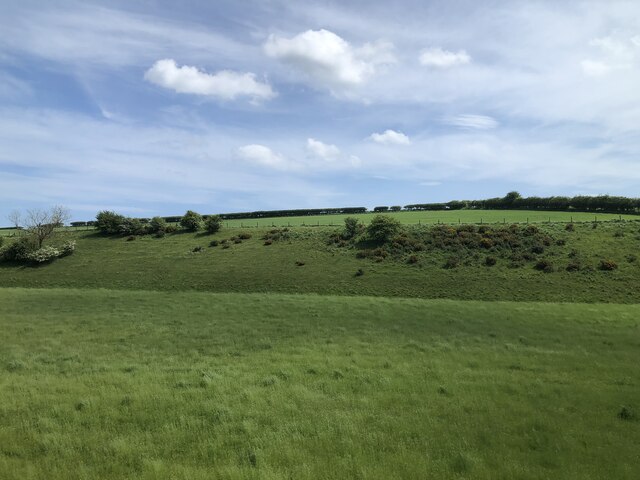
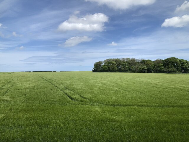
Bartindale Plantation is a picturesque woodland area located in Yorkshire, England. Spread over a vast expanse of land, it is renowned for its natural beauty and diverse ecosystem. The plantation is situated in the heart of Bartindale Forest, which is characterized by its dense canopies of oak, beech, and pine trees.
The woodland is home to a wide range of flora and fauna, making it an ideal habitat for numerous species. Visitors can spot indigenous wildlife such as red squirrels, roe deer, and various bird species including woodpeckers and owls. The tranquil surroundings provide a peaceful retreat for nature enthusiasts and photographers.
Bartindale Plantation offers several well-marked walking trails, allowing visitors to explore the forest at their own pace. These trails wind through the woodland, offering stunning vistas of the surrounding hills and valleys. The plantation also boasts a beautiful lake, where visitors can enjoy a leisurely picnic or engage in fishing activities.
In addition to its natural charm, Bartindale Plantation holds historical significance. It was once part of the ancient Bartindale Estate, which dates back several centuries. The remnants of a stone boundary wall and an old hunting lodge can still be seen within the woodland, serving as reminders of its rich heritage.
Overall, Bartindale Plantation is a gem in the heart of Yorkshire, offering a serene environment, diverse wildlife, and a glimpse into the region's past. It is a must-visit destination for nature lovers and those seeking a peaceful escape amidst the beauty of the English countryside.
If you have any feedback on the listing, please let us know in the comments section below.
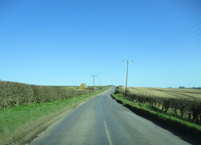
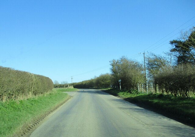
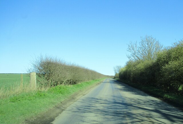
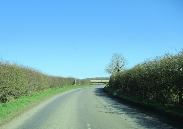
Bartindale Plantation Images
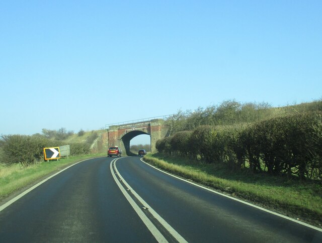
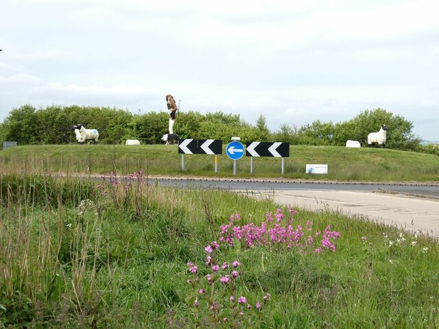
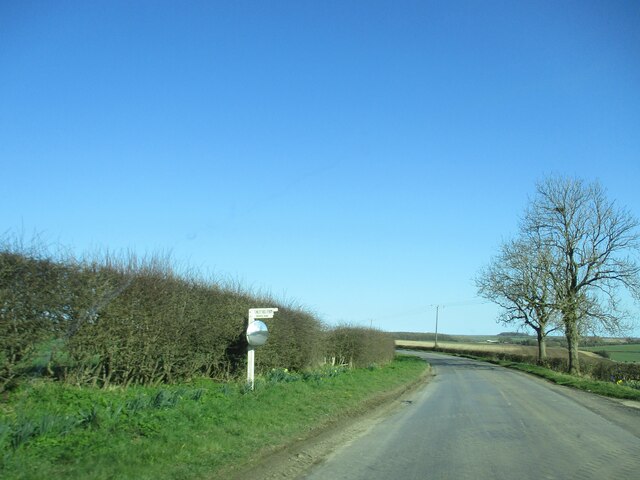
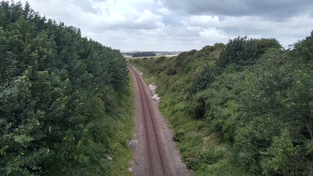
Images are sourced within 2km of 54.146122/-0.28713135 or Grid Reference TA1173. Thanks to Geograph Open Source API. All images are credited.


Bartindale Plantation is located at Grid Ref: TA1173 (Lat: 54.146122, Lng: -0.28713135)
Division: East Riding
Administrative County: North Yorkshire
District: Scarborough
Police Authority: North Yorkshire
What 3 Words
///adhesive.diverts.loudly. Near Grindale, East Yorkshire
Nearby Locations
Related Wikis

Reighton
Reighton is a village and civil parish, in North Yorkshire, England. From the mediaeval era until the 19th century Reighton was part of Dickering Wapentake...

Argam
Argam, or Argham (sometimes Ergam, or Ergham), was a civil parish and village in the East Riding of Yorkshire, England. The site is listed in many historical...

Grindale
Grindale is a village and civil parish in the East Riding of Yorkshire, England. It is situated approximately 4 miles (6 km) north-west of Bridlington...

Speeton railway station
Speeton railway station served the villages of Speeton and Reighton in North Yorkshire, England. It was situated on the Yorkshire Coast Line from Scarborough...
Nearby Amenities
Located within 500m of 54.146122,-0.28713135Have you been to Bartindale Plantation?
Leave your review of Bartindale Plantation below (or comments, questions and feedback).