Barry Mill
Heritage Site in Angus
Scotland
Barry Mill
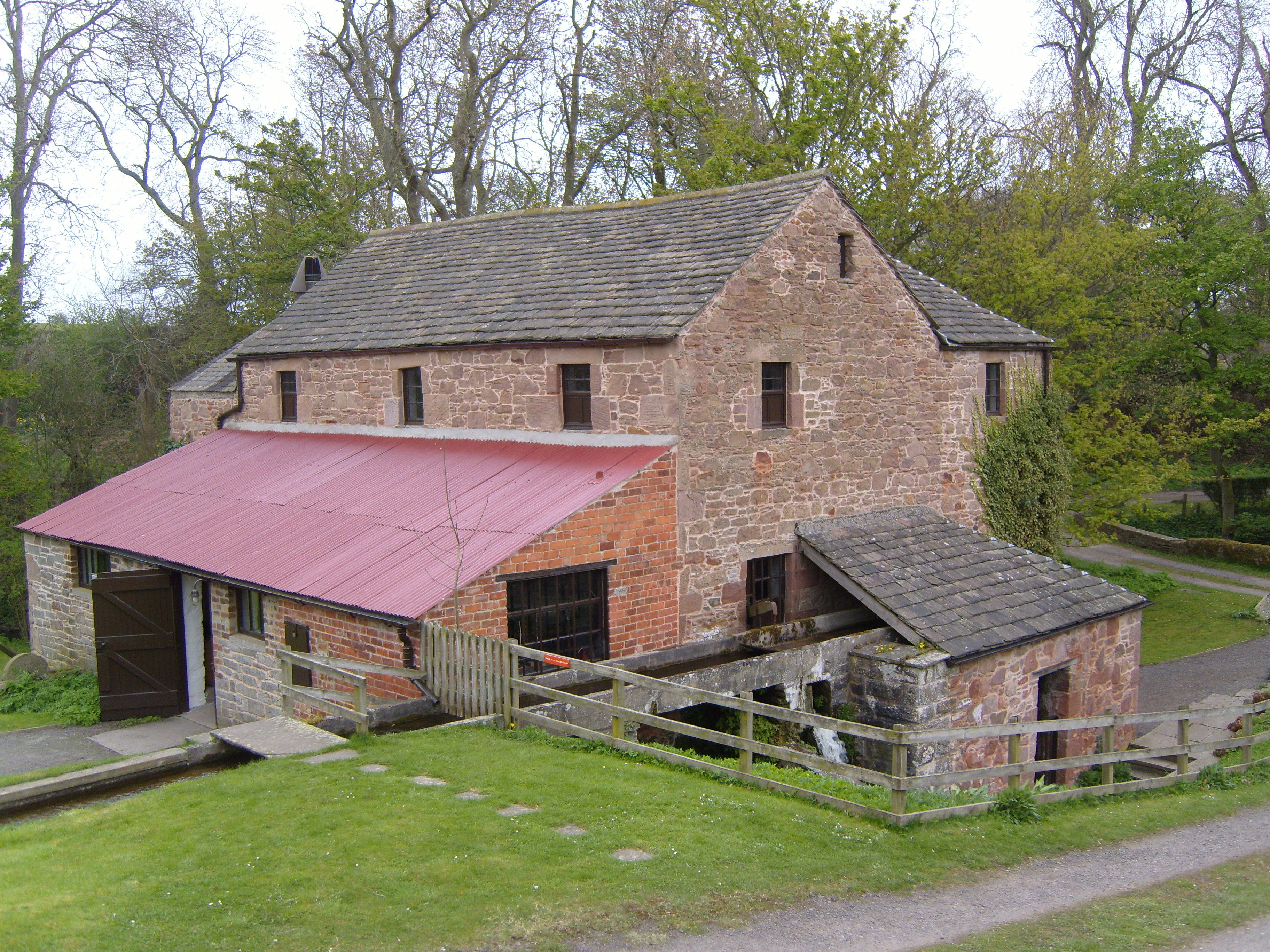
Barry Mill is a historical site located in the village of Barry, Angus, Scotland. It is a traditional water-powered corn mill that has been in operation for over two centuries. The mill stands on the banks of the Barry Burn, which provides the necessary water supply to power the mill's machinery.
Built in the early 19th century, Barry Mill is a well-preserved example of an agricultural mill from that era. It consists of a three-story stone building with a distinctive red-tiled roof. The mill's machinery includes a large waterwheel, gears, and grinding stones, all of which are still operational.
Visitors to Barry Mill have the opportunity to explore the mill's interior and witness the milling process in action. The grinding stones grind the locally grown grain into flour, which can be purchased at the site's gift shop. Guided tours are available, providing insightful information about the mill's history and operation.
Surrounding the mill is a picturesque landscape of wooded areas and fields, making it an ideal spot for a leisurely stroll. There is also a picnic area where visitors can enjoy a meal while taking in the tranquil surroundings.
Barry Mill is recognized as a Category A listed building, indicating its national significance. It is managed by the National Trust for Scotland and offers a unique glimpse into Scotland's agricultural and industrial heritage. Whether for historical or recreational purposes, Barry Mill is a must-visit destination for anyone interested in Scotland's rich past.
If you have any feedback on the listing, please let us know in the comments section below.
Barry Mill Images
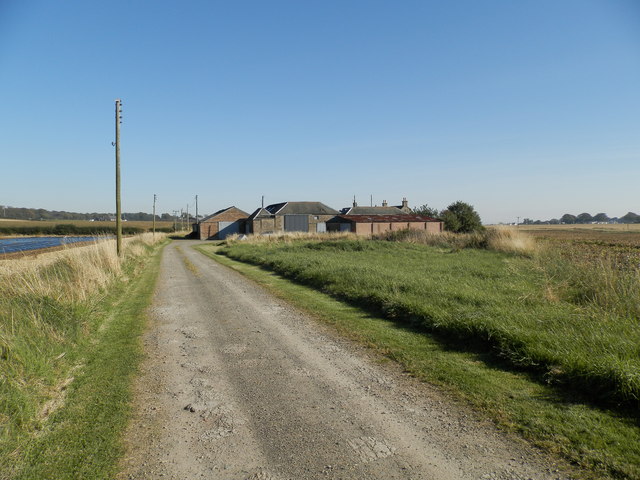
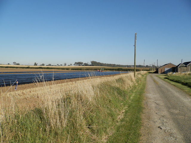
Images are sourced within 2km of 56.504/-2.758 or Grid Reference NO5334. Thanks to Geograph Open Source API. All images are credited.


Barry Mill is located at Grid Ref: NO5334 (Lat: 56.504, Lng: -2.758)
Unitary Authority: Angus
Police Authority: Tayside
What 3 Words
///prominent.gathering.jiffy. Near Carnoustie, Angus
Nearby Locations
Related Wikis
Barry Mill
Barry Mill is a working Category A listed watermill in Barry, Angus in eastern Scotland. It is owned and operated by the National Trust for Scotland as...

Barry, Angus
Barry (Scottish Gaelic: Barraidh) is a small village in Angus, Scotland, on Barry Burn at the mouth of the River Tay. The recent completion of a bypass...
Upper Victoria
Upper Victoria is a hamlet in Angus, Scotland. It lies on the A92 road between Arbroath and Dundee and is the location of the junction of the A92 and the...

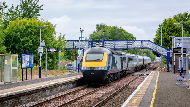
Barry Links railway station
Barry Links railway station lies south of the village of Barry, west of Carnoustie in Angus, Scotland. It is sited 8 miles 67 chains (14.2 km) from the...
Nearby Amenities
Located within 500m of 56.504,-2.758Have you been to Barry Mill?
Leave your review of Barry Mill below (or comments, questions and feedback).