Barscobe Wood
Wood, Forest in Kirkcudbrightshire
Scotland
Barscobe Wood
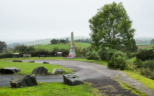
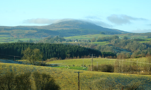
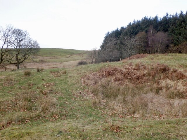
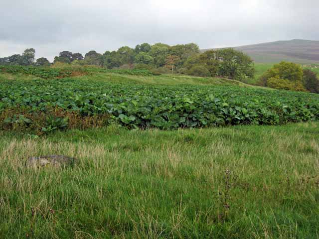
Barscobe Wood is a charming forest located in Kirkcudbrightshire, a historic county in southwest Scotland. This woodland area covers an impressive expanse of approximately 335 acres and is renowned for its natural beauty and diverse wildlife.
The wood is predominantly made up of a mix of deciduous and coniferous trees, creating a rich tapestry of colors throughout the seasons. Ancient oak and beech trees stand tall among the younger saplings, giving the forest an enchanting and timeless atmosphere.
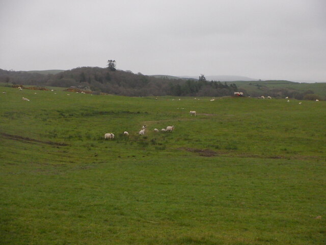
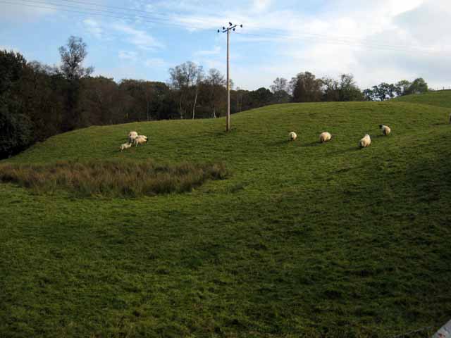
Nature enthusiasts will find plenty to explore in Barscobe Wood. The forest is home to a wide range of wildlife, including red squirrels, roe deer, badgers, and an array of bird species. Walking along the well-marked trails, visitors can admire the flora and fauna that thrive in this serene environment.
For those seeking a peaceful retreat, Barscobe Wood offers a tranquil escape from the hustle and bustle of daily life. The forest boasts several picnic areas, where visitors can relax and enjoy a meal amidst the picturesque surroundings. Additionally, there are designated camping spots for those looking to immerse themselves in a truly natural experience.
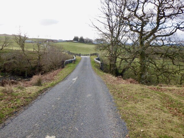
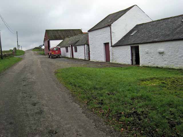
Barscobe Wood is easily accessible by car, with ample parking available. Visitors can also enjoy the nearby attractions, such as the charming town of Kirkcudbright and the stunning coastline of the Solway Firth.
In conclusion, Barscobe Wood is a captivating woodland destination in Kirkcudbrightshire, offering a diverse range of flora, fauna, and recreational activities. It is a must-visit location for nature lovers and those seeking tranquility in the heart of Scotland.
If you have any feedback on the listing, please let us know in the comments section below.
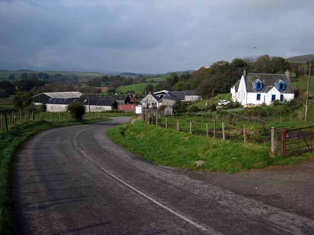
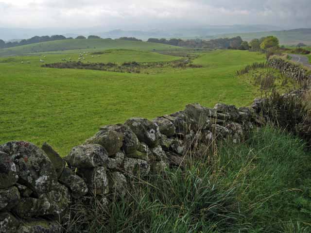
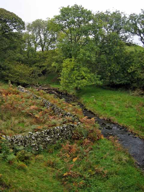
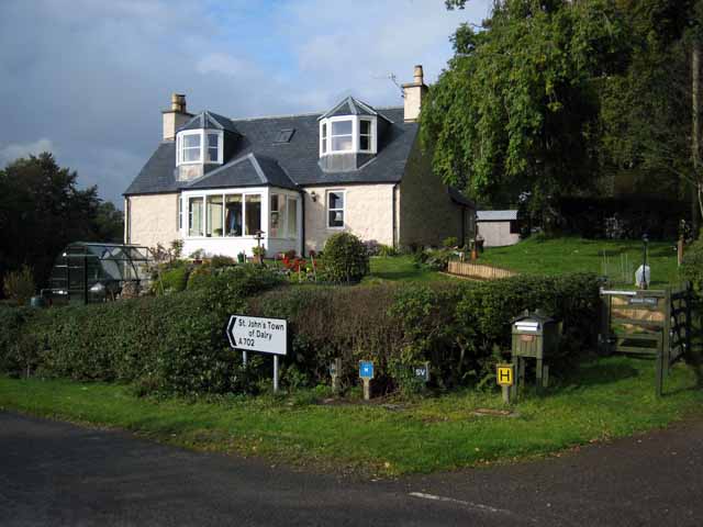
Barscobe Wood Images
Images are sourced within 2km of 55.102448/-4.1067101 or Grid Reference NX6580. Thanks to Geograph Open Source API. All images are credited.


Barscobe Wood is located at Grid Ref: NX6580 (Lat: 55.102448, Lng: -4.1067101)
Unitary Authority: Dumfries and Galloway
Police Authority: Dumfries and Galloway
What 3 Words
///bluffing.frozen.clapper. Near Castle Douglas, Dumfries & Galloway
Nearby Locations
Related Wikis

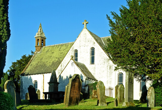
Barscobe Castle
Barscobe Castle is a 17th-century tower house in Balmaclellan, Kirkcudbrightshire, Scotland. It is a typical house of a country laird, and according to...

Balmaclellan
Balmaclellan (Scottish Gaelic: Baile Mac-a-ghille-dhiolan, meaning town of the MacLellans) is a small hillside village of stone houses with slate roofs...

Ken Bridge
The Ken Bridge is a road bridge about 0.8 kilometres (0.5 mi) north east of New Galloway in Dumfries and Galloway, Scotland, which carries the A712 road...

Kells, Dumfries and Galloway
Kells parish, in the Stewartry of Kirkcudbright in Scotland, is located 14 miles (NWbN) from Castle-Douglas, and 19 miles (NbW) from Kirkcudbright. It...
Nearby Amenities
Located within 500m of 55.102448,-4.1067101Have you been to Barscobe Wood?
Leave your review of Barscobe Wood below (or comments, questions and feedback).