Bâch-y-graig
Heritage Site in Flintshire
Wales
Bâch-y-graig

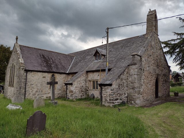
Bâch-y-graig is a historic heritage site located in Flintshire, Wales. Situated in the picturesque village of Caerwys, it holds significant historical and architectural importance. The site comprises a fortified medieval manor house dating back to the 14th century.
Built on a hillside, Bâch-y-graig was constructed using local limestone and sandstone, showcasing the architectural style of the era. The manor house originally served as a defensive structure, featuring a strong outer wall and a gatehouse with a drawbridge. Over the centuries, it underwent several modifications and expansions, reflecting the changing needs of its inhabitants.
The interior of Bâch-y-graig reveals a wealth of historical features and artifacts, including grand fireplaces, timber beams, and intricate stone carvings. Some of the original medieval furnishings and decorative elements have been preserved, offering visitors a glimpse into the past.
The site also boasts beautiful gardens, meticulously maintained to evoke the atmosphere of the medieval period. The gardens feature traditional plants, herbs, and flowers commonly found during that time, complementing the historical ambiance.
Bâch-y-graig is open to the public, offering guided tours that provide in-depth insights into its rich history. The site is a popular destination for history enthusiasts, architectural admirers, and tourists seeking an authentic experience of medieval Wales. Its significance as a heritage site has been recognized, and it is protected under national preservation laws.
If you have any feedback on the listing, please let us know in the comments section below.
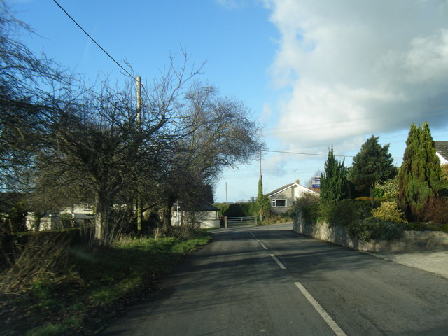
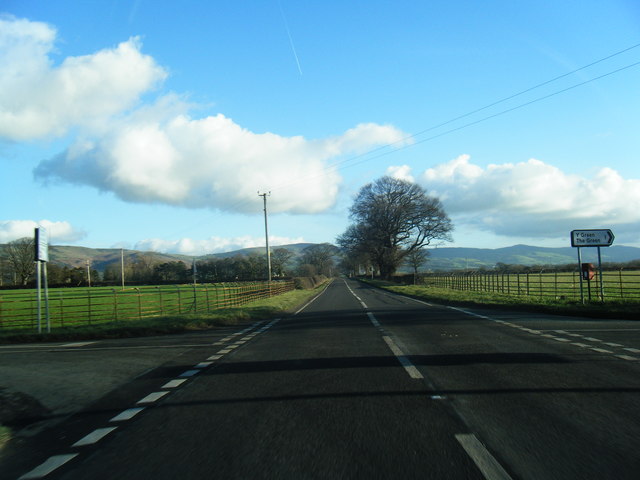
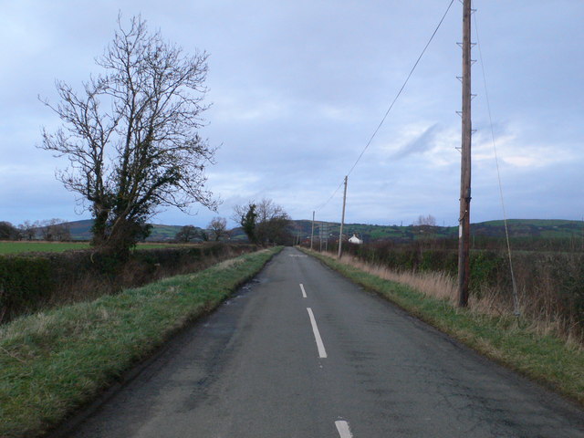
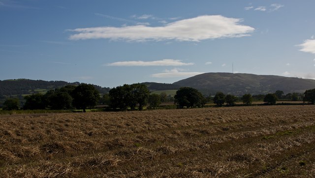
Bâch-y-graig Images
Images are sourced within 2km of 53.232/-3.385 or Grid Reference SJ0771. Thanks to Geograph Open Source API. All images are credited.


Bâch-y-graig is located at Grid Ref: SJ0771 (Lat: 53.232, Lng: -3.385)
Unitary Authority: Denbighshire
Police Authority: North Wales
What 3 Words
///snacking.campers.recapture. Near Trefnant, Denbighshire
Nearby Locations
Related Wikis
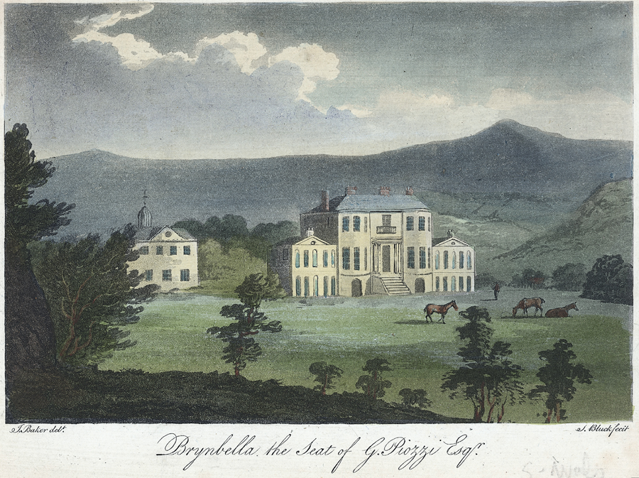
Brynbella
Brynbella is a neoclassical villa built near the village of Tremeirchion in Denbighshire, northeast Wales, by Hester Piozzi and her husband, Gabriel Piozzi...
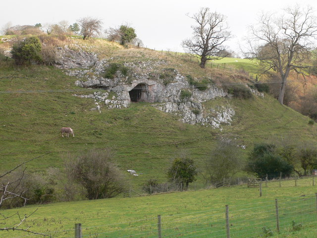
Ffynnon Beuno and Cae Gwyn Caves
Ffynnon Beuno and Cae Gwyn Caves are two Scheduled Ancient Monuments, in Denbighshire, Wales, which are also designated a Site of Special Scientific Interest...

Vale of Clwyd (Senedd constituency)
The Vale of Clwyd (Welsh: Dyffryn Clwyd) is a constituency of the Senedd. It elects one Member of the Senedd by the first past the post method of election...

Tremeirchion
Tremeirchion (previously known as Lleweni) is a small residential community in Denbighshire, Wales. It lies on the B5429 road, to the north east of Denbigh...

Moel y Gaer, Bodfari
Moel y Gaer (Welsh for "bald hill of the fortress") is an Iron Age hillfort at the northern end of the Clwydian Range, located on a summit overlooking...

Bodfari
Bodfari is a village and community in Denbighshire, Wales. Until the local government reorganisation of 1974, Bodfari was in the historic county of Flintshire...

River Wheeler
The River Wheeler (Welsh: Afon Chwiler) is a tributary of the River Clwyd in north-east Wales. Rising on the east side of the Clwydian Range, it is a...
Waen
Waen is a sparsely populated community in the Vale of Clwyd, in the Welsh county of Denbighshire. It includes the hamlet of Waen Goleugoed. The former...
Nearby Amenities
Located within 500m of 53.232,-3.385Have you been to Bâch-y-graig?
Leave your review of Bâch-y-graig below (or comments, questions and feedback).