Coed Cae-ysgubor
Wood, Forest in Flintshire
Wales
Coed Cae-ysgubor

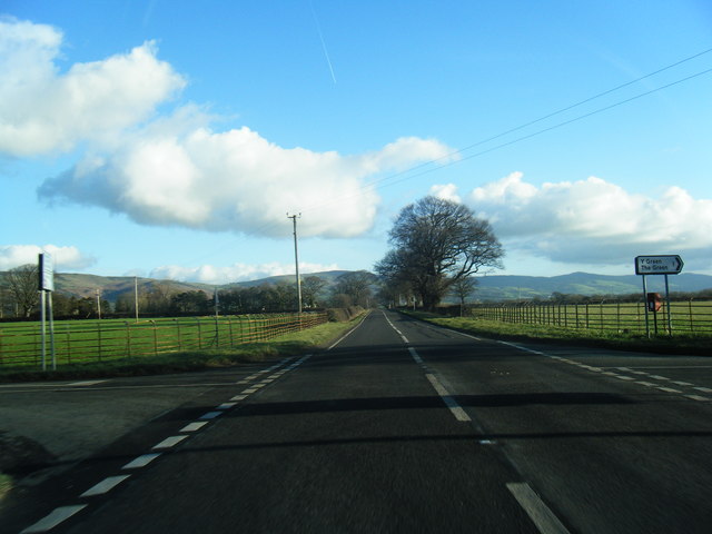
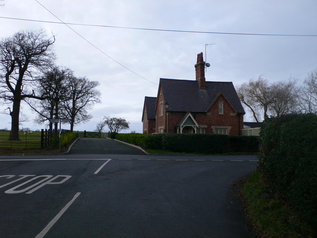
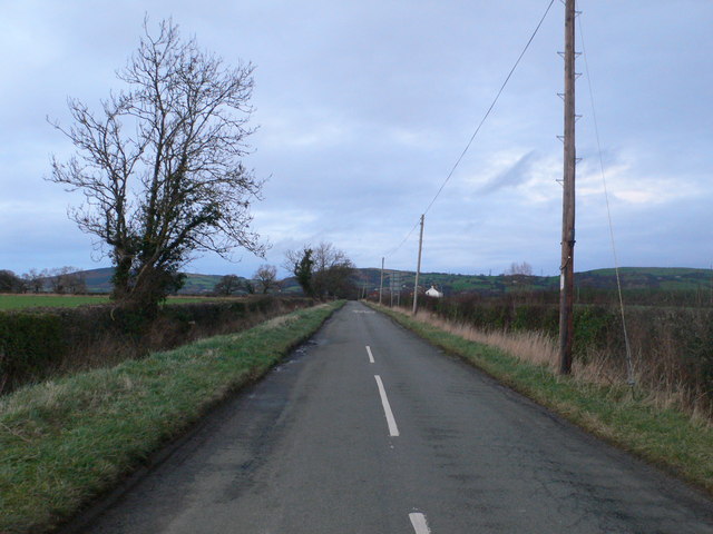
Coed Cae-ysgubor is a beautiful woodland located in Flintshire, Wales. Spread across a vast area, this forest is known for its serene ambiance and diverse range of flora and fauna. The name "Coed Cae-ysgubor" translates to "Wood in the Barn Field," which is derived from its historical association with a nearby barn.
The woodland is predominantly composed of native tree species, such as oak, birch, beech, and sycamore, creating a lush green canopy. These trees provide a habitat for a variety of wildlife, including birds, squirrels, badgers, and numerous insect species.
There are several well-maintained footpaths and trails that wind through the forest, offering visitors the opportunity to immerse themselves in nature and explore the area. The paths are suitable for walkers of all ages and abilities, providing a peaceful and tranquil environment for outdoor enthusiasts.
Coed Cae-ysgubor is a popular destination for nature lovers, photographers, and those seeking solitude in a natural setting. The forest offers breathtaking views throughout the year, with vibrant autumn colors, delicate spring blossoms, and a refreshing green landscape in the summer.
Additionally, the woodland is a designated Site of Special Scientific Interest (SSSI), recognizing its importance for conservation and biodiversity. It is also managed by a local conservation organization, ensuring its preservation and protection for future generations.
Overall, Coed Cae-ysgubor in Flintshire is a captivating woodland, offering a haven of tranquility and a chance to reconnect with nature in the heart of Wales.
If you have any feedback on the listing, please let us know in the comments section below.
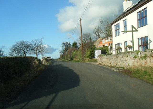
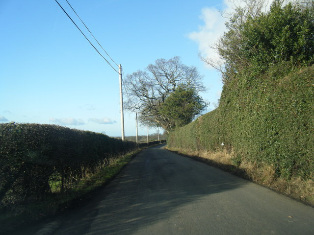
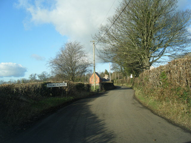
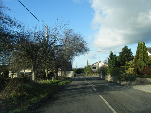
Coed Cae-ysgubor Images
Images are sourced within 2km of 53.230044/-3.3908737 or Grid Reference SJ0771. Thanks to Geograph Open Source API. All images are credited.


Coed Cae-ysgubor is located at Grid Ref: SJ0771 (Lat: 53.230044, Lng: -3.3908737)
Unitary Authority: Denbighshire
Police Authority: North Wales
What 3 Words
///today.promises.sensibly. Near Trefnant, Denbighshire
Nearby Locations
Related Wikis

Vale of Clwyd (Senedd constituency)
The Vale of Clwyd (Welsh: Dyffryn Clwyd) is a constituency of the Senedd. It elects one Member of the Senedd by the first past the post method of election...
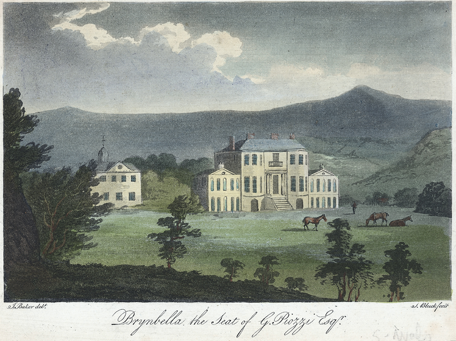
Brynbella
Brynbella is a neoclassical villa built near the village of Tremeirchion in Denbighshire, northeast Wales, by Hester Piozzi and her husband, Gabriel Piozzi...
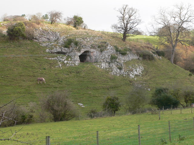
Ffynnon Beuno and Cae Gwyn Caves
Ffynnon Beuno and Cae Gwyn Caves are two Scheduled Ancient Monuments, in Denbighshire, Wales, which are also designated a Site of Special Scientific Interest...

Tremeirchion
Tremeirchion (previously known as Lleweni) is a small residential community in Denbighshire, Wales. It lies on the B5429 road, to the north east of Denbigh...
Nearby Amenities
Located within 500m of 53.230044,-3.3908737Have you been to Coed Cae-ysgubor?
Leave your review of Coed Cae-ysgubor below (or comments, questions and feedback).