Coed Bâch-y-graig
Wood, Forest in Flintshire
Wales
Coed Bâch-y-graig

Coed Bâch-y-graig is a picturesque woodland located in Flintshire, Wales. Nestled amidst the stunning natural beauty of the region, it is a popular destination for nature lovers, hikers, and those seeking tranquility in a serene environment.
Covering an area of approximately 50 acres, Coed Bâch-y-graig is known for its diverse and thriving ecosystem. The woodland is characterized by a mixture of deciduous and coniferous trees, creating a rich tapestry of colors throughout the year. Oak, beech, and birch trees dominate the landscape, while spruce and pine trees can also be found in abundance.
The woodland is home to a wide variety of wildlife, making it a haven for animal enthusiasts. Visitors may spot native species such as red squirrels, foxes, badgers, and a variety of birds including woodpeckers and owls. The peaceful atmosphere and lush vegetation provide the perfect habitat for these creatures.
Coed Bâch-y-graig offers a network of well-maintained walking trails, allowing visitors to explore the woodland and discover its hidden treasures. The trails wind through the forest, offering breathtaking views of the surrounding countryside. The woodland also features a small stream that adds to its natural charm.
In addition to its natural beauty, Coed Bâch-y-graig holds historical significance. It is believed that the woodland was once part of a larger hunting ground used by medieval nobility. Today, remnants of this history can still be seen in the form of old stone walls and ruins scattered throughout the area.
Overall, Coed Bâch-y-graig is a captivating destination that offers a wonderful blend of natural beauty, wildlife, and historical interest. Whether it be for a peaceful walk, wildlife spotting, or immersing oneself in the enchanting atmosphere, this woodland is a true gem in Flintshire.
If you have any feedback on the listing, please let us know in the comments section below.
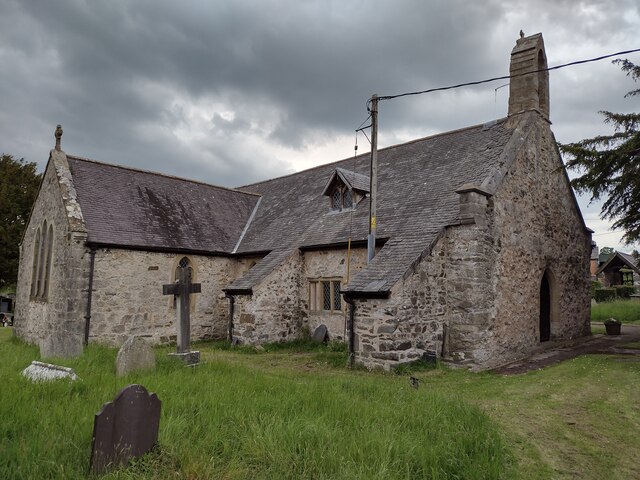
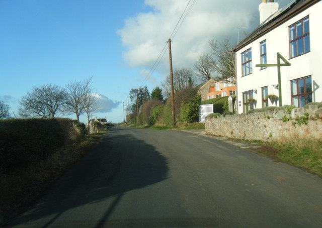
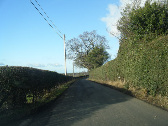
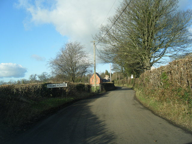
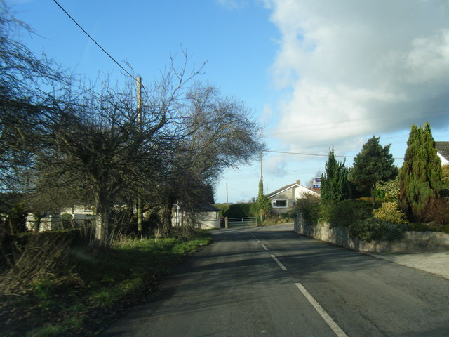
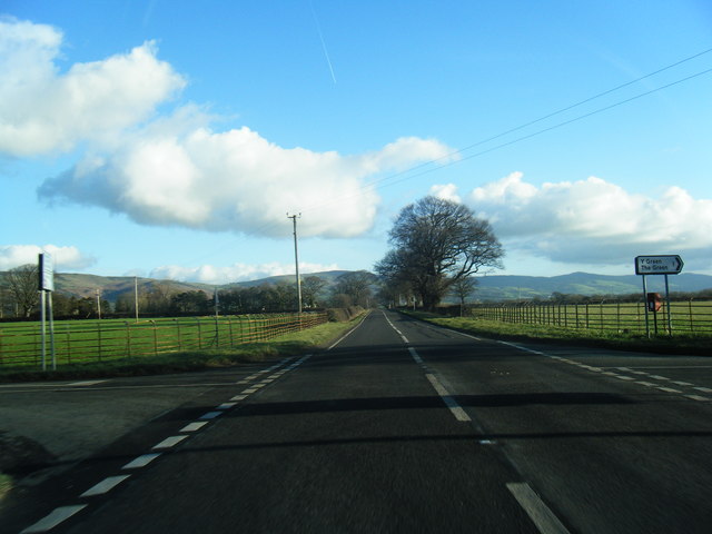
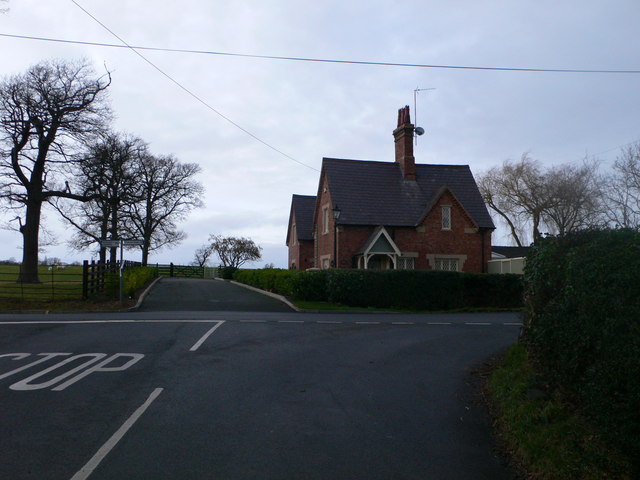
Coed Bâch-y-graig Images
Images are sourced within 2km of 53.232022/-3.3886006 or Grid Reference SJ0771. Thanks to Geograph Open Source API. All images are credited.


Coed Bâch-y-graig is located at Grid Ref: SJ0771 (Lat: 53.232022, Lng: -3.3886006)
Unitary Authority: Denbighshire
Police Authority: North Wales
What 3 Words
///recur.hatter.denser. Near Trefnant, Denbighshire
Nearby Locations
Related Wikis

Vale of Clwyd (Senedd constituency)
The Vale of Clwyd (Welsh: Dyffryn Clwyd) is a constituency of the Senedd. It elects one Member of the Senedd by the first past the post method of election...
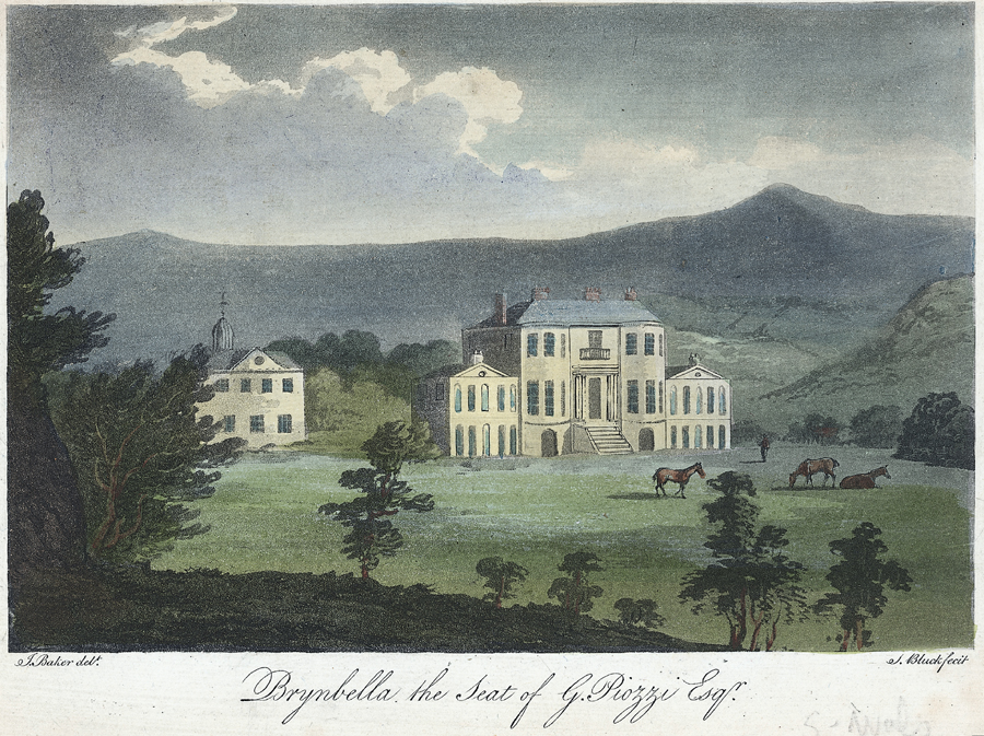
Brynbella
Brynbella is a neoclassical villa built near the village of Tremeirchion in Denbighshire, northeast Wales, by Hester Piozzi and her husband, Gabriel Piozzi...
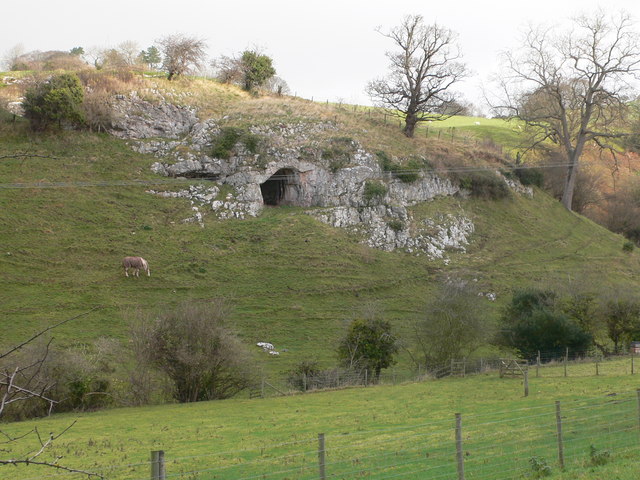
Ffynnon Beuno and Cae Gwyn Caves
Ffynnon Beuno and Cae Gwyn Caves are two Scheduled Ancient Monuments, in Denbighshire, Wales, which are also designated a Site of Special Scientific Interest...

Tremeirchion
Tremeirchion (previously known as Lleweni) is a small residential community in Denbighshire, Wales. It lies on the B5429 road, to the north east of Denbigh...
Nearby Amenities
Located within 500m of 53.232022,-3.3886006Have you been to Coed Bâch-y-graig?
Leave your review of Coed Bâch-y-graig below (or comments, questions and feedback).