An Dùn
Heritage Site in Caithness
Scotland
An Dùn
An Dùn, located in Caithness, Scotland, is a historic heritage site that holds great significance for the local community and visitors alike. The site is an Iron Age broch, which is a type of ancient roundhouse that was prevalent in Scotland during the Iron Age period.
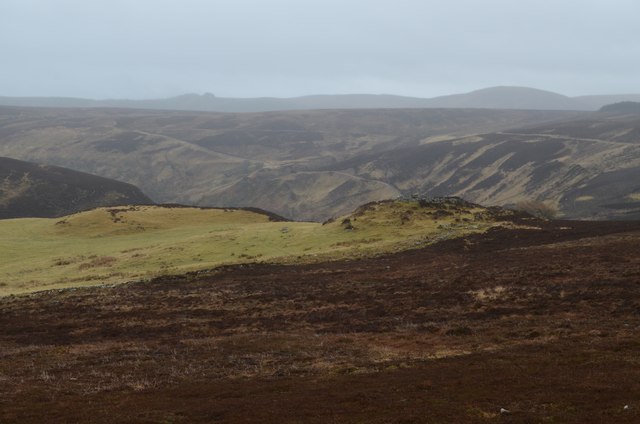
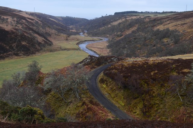
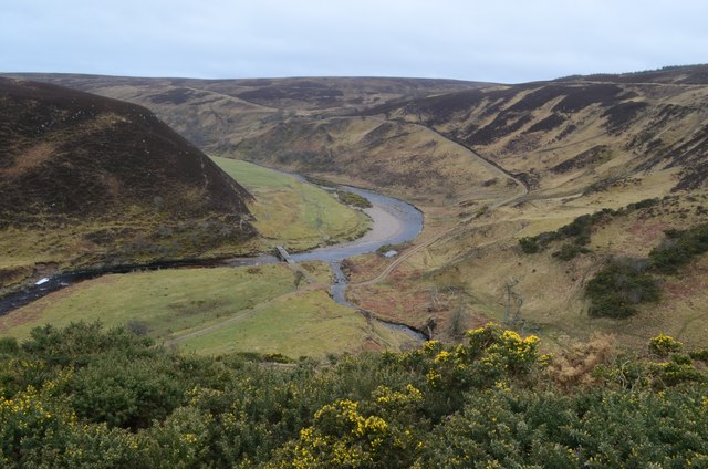
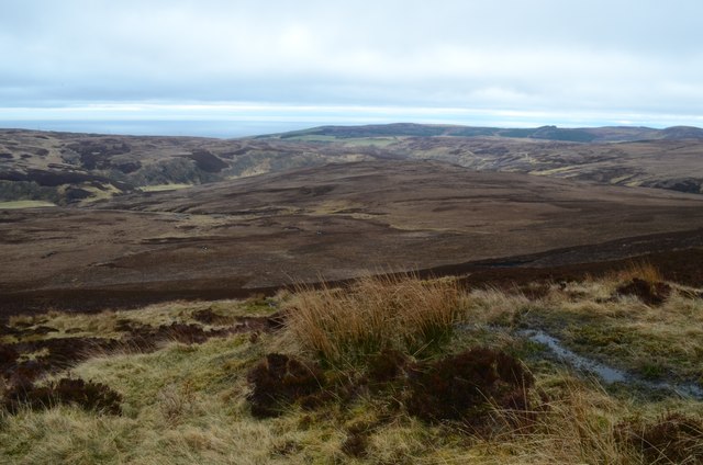
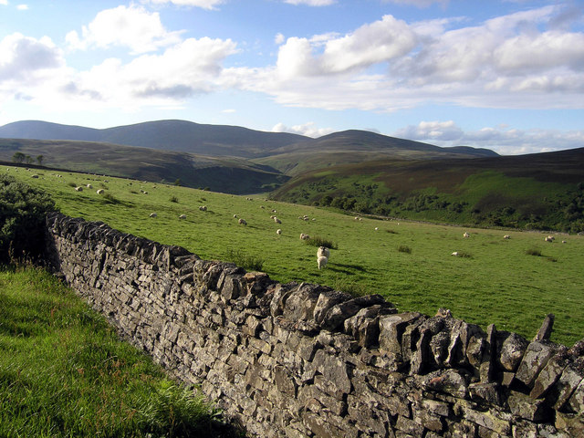
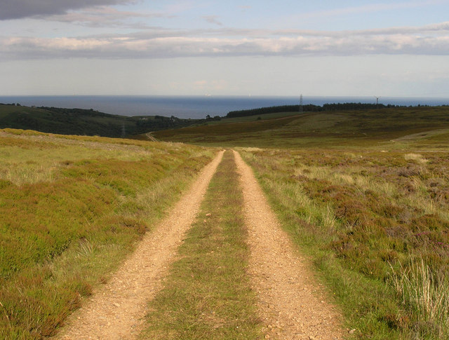
An Dùn is situated on a rocky outcrop overlooking the North Sea, providing a commanding view of the surrounding landscape. The broch itself is a circular stone structure with double walls, creating a unique and sturdy construction. The inner space would have served as living quarters, while the outer wall provided additional protection and housed various chambers. The broch is estimated to have been built around 2,000 years ago, making it an impressive testament to the advanced engineering skills of the time.
Visitors to An Dùn can explore the site and get a glimpse into the lives of the people who once inhabited the broch. The remains of stone hearths, storage pits, and staircases can still be seen, offering insight into the daily activities and architecture of the period. The site is also surrounded by a defensive wall, further highlighting the strategic importance of the location.
An Dùn is managed by local authorities and is open to the public, attracting history enthusiasts, archaeologists, and curious tourists. Interpretive panels and signage provide information about the site's history and significance, enhancing the visitor experience. The broch is not only a valuable archaeological site but also a symbol of the region's rich cultural heritage, connecting present-day Caithness to its ancient past.
If you have any feedback on the listing, please let us know in the comments section below.
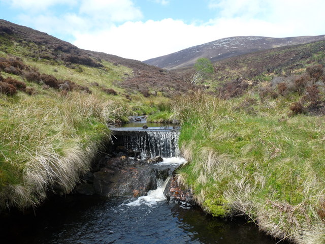
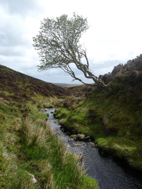
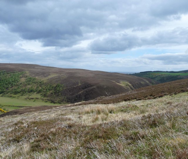
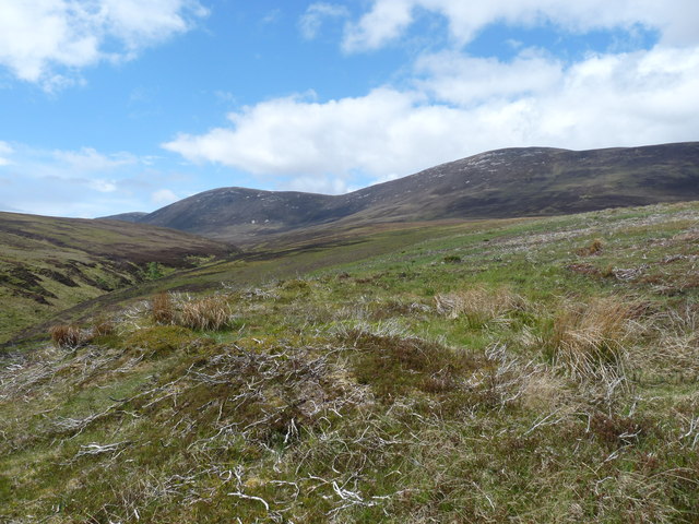
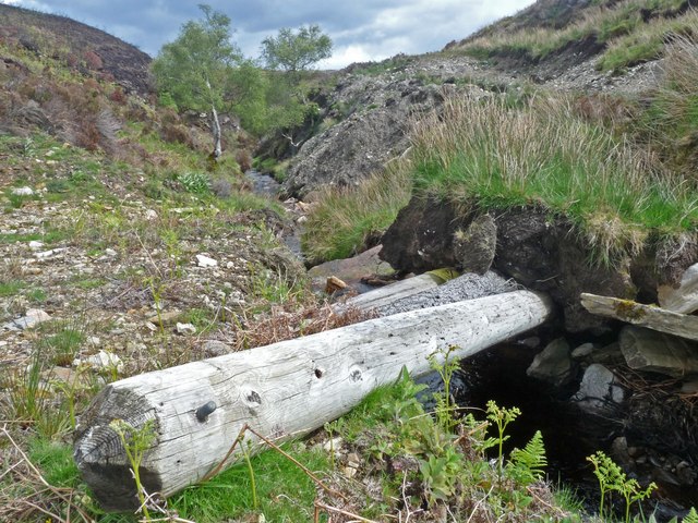
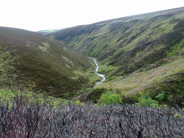
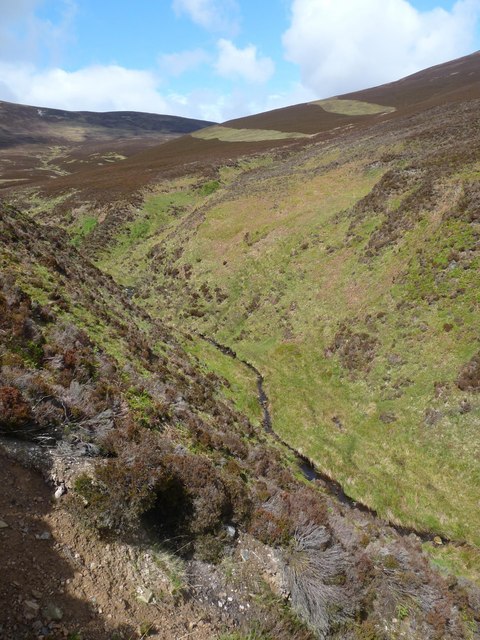
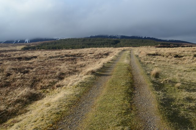
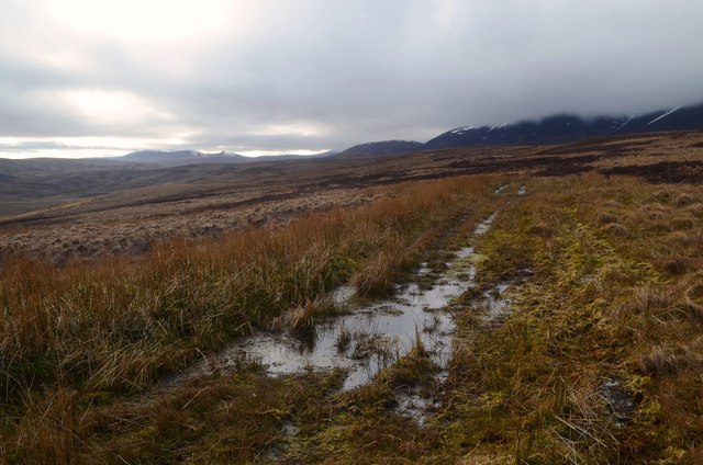
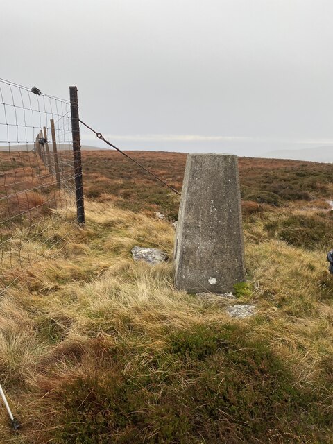
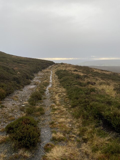
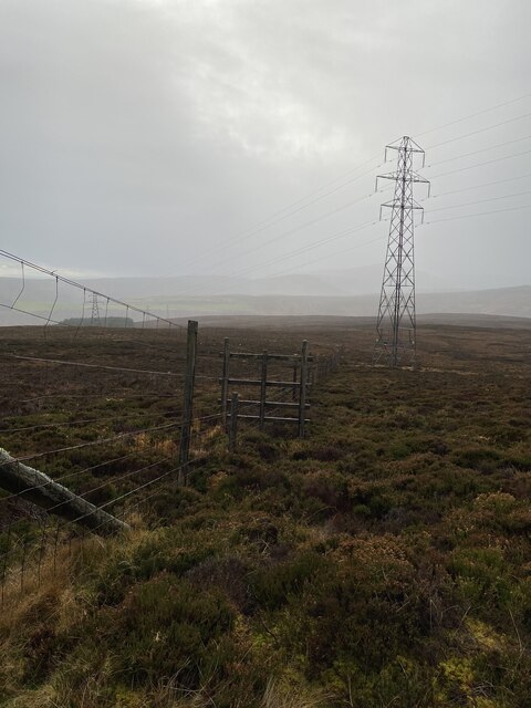
An Dùn Images
Images are sourced within 2km of 58.2037/-3.5273 or Grid Reference ND1024. Thanks to Geograph Open Source API. All images are credited.
An Dùn is located at Grid Ref: ND1024 (Lat: 58.2037, Lng: -3.5273)
Unitary Authority: Highlands
Police Authority: Highland and Islands
What 3 Words
///flip.restless.blurs. Near Dunbeath, Highland
Nearby Locations
Related Wikis

Berriedale Church
Berriedale Church is a former church in the parish of Latheron, in Berriedale, Caithness, Scotland. Built in 1826, the T-plan building was closed as a...

Berriedale, Highland
Berriedale (Scottish Gaelic: Bearghdal) is a small estate village on the northern east coast of Caithness, Scotland, on the A9 road between Helmsdale and...

Borgue, Highland
Borgue is a village in the historical county of Caithness, 3 miles (5 km) south of Dunbeath in the local authority are of Highland, Scotland.Rev Samuel...
Berriedale Water
Berriedale Water is a short river in Caithness in northern Scotland. It arises as the Feith Gaineimh Mhor, Feith Chaorunn Mhor and Feith Fhuaran come together...
Newport, Caithness
Newport is a small remote village on the eastern shore of Caithness, Scottish Highlands and is in the Scottish council area of Highland.Ramscraig lies...

Berriedale Castle
Berriedale Castle is a ruined castle located on a promontory on the south of the entrance to the Berriedale Water, Caithness in Scotland. == Structure... ==

Dunbeath air crash
The Dunbeath air crash involved the loss of a Short S.25 Sunderland Mk. III that crashed in the Scottish Highlands on a headland known as Eagle's Rock...

Scaraben
Scaraben (626 m) is a hill in the Northwest Highlands of Scotland. It lies in the Caithness region, in the far north. Taking the form of a long ridge over...
Nearby Amenities
Located within 500m of 58.2037,-3.5273Have you been to An Dùn ?
Leave your review of An Dùn below (or comments, questions and feedback).