An Dùn

Heritage Site in Argyllshire

Scotland

An Dùn

Glen Lonan road and Clach na Carraig
Glen Lonan road and Clach na Carraig Credit: Peter Bond

An Dùn is a historic heritage site located in Argyllshire, Scotland. The site is situated on a small hill overlooking the picturesque Sound of Jura, offering breathtaking views of the surrounding landscape.

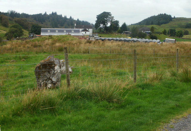
The primary feature of An Dùn is a well-preserved Iron Age fort, which dates back to approximately 2,000 years ago. The fort consists of a series of circular stone walls, creating a defensive structure that would have protected its inhabitants during ancient times. The walls are made of local stone and stand at an impressive height, showcasing the advanced engineering techniques of the ancient inhabitants.

Within the fort, there are remnants of several structures, including houses and storage areas, providing insight into the daily life and activities of the people who once lived here. The layout of the fort suggests that it may have been used as a central meeting place for the community, as well as a defensive stronghold.

Visitors to An Dùn can explore the site and walk along the ancient walls, immersing themselves in the rich history and heritage of the area. Interpretive signs and information boards are strategically placed throughout the site, offering detailed explanations and historical context.

An Dùn is a significant archaeological site, providing valuable insights into the Iron Age civilization of Argyllshire. It is a must-visit destination for history enthusiasts, offering a unique opportunity to step back in time and discover the ancient past of this beautiful region.

If you have any feedback on the listing, please let us know in the comments section below.
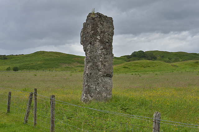
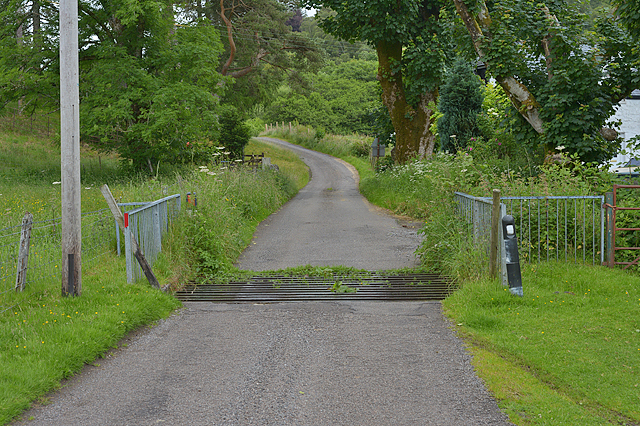
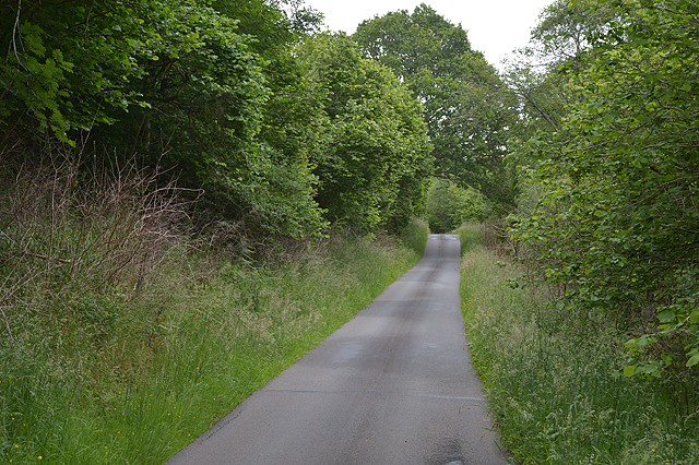
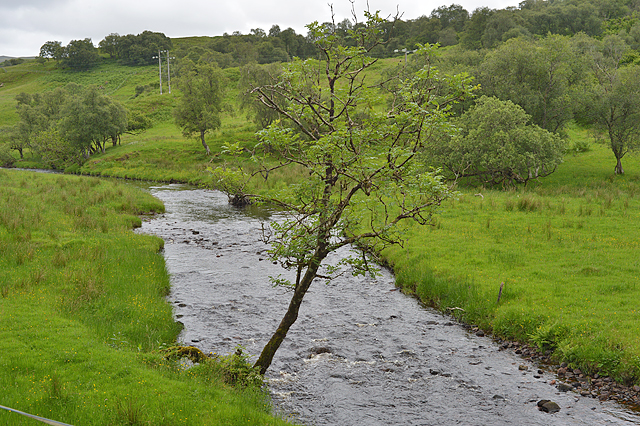
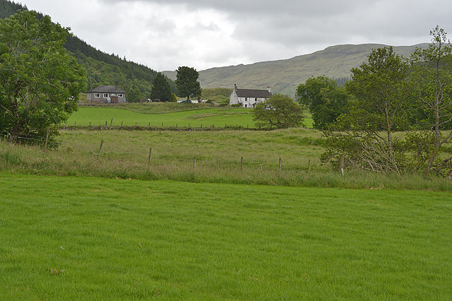
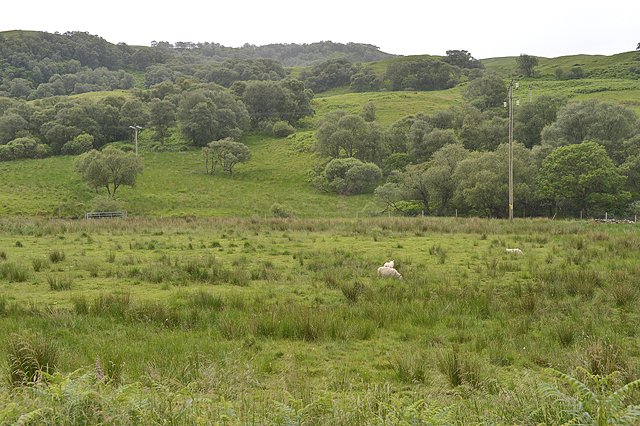
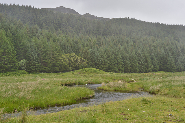
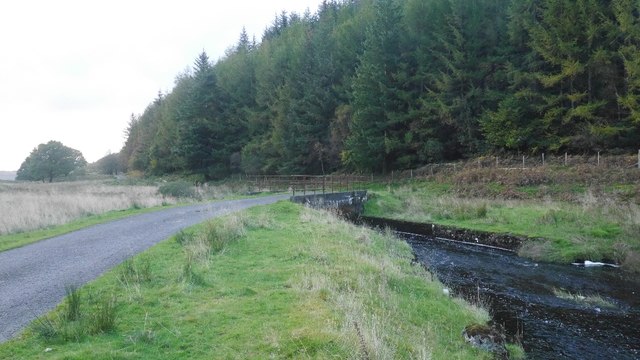
An Dùn Images

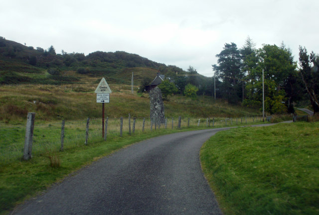
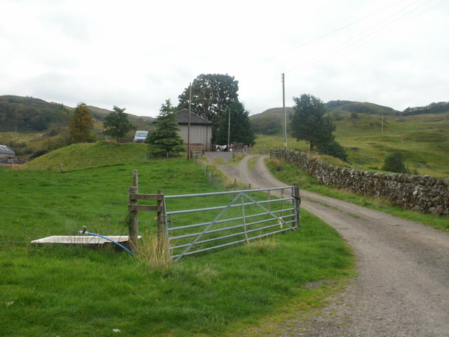
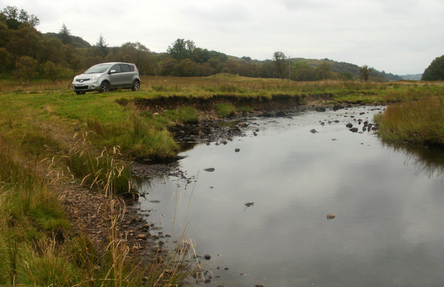
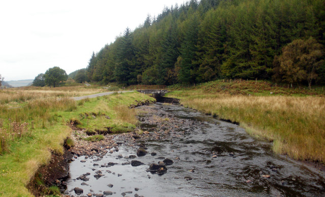
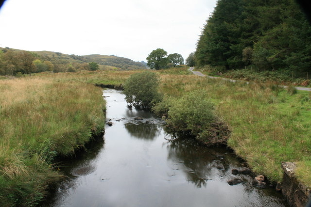
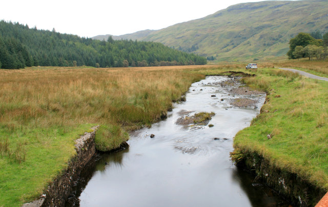
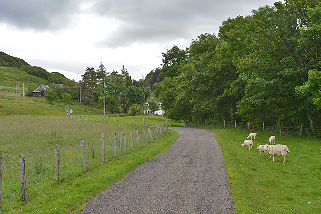
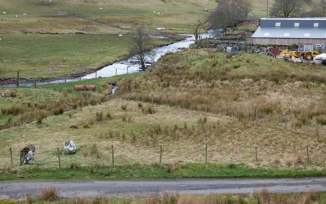
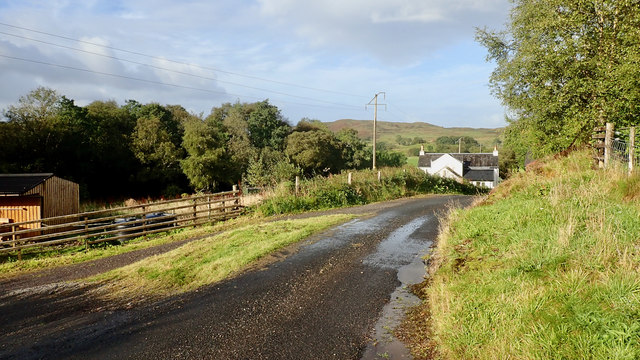
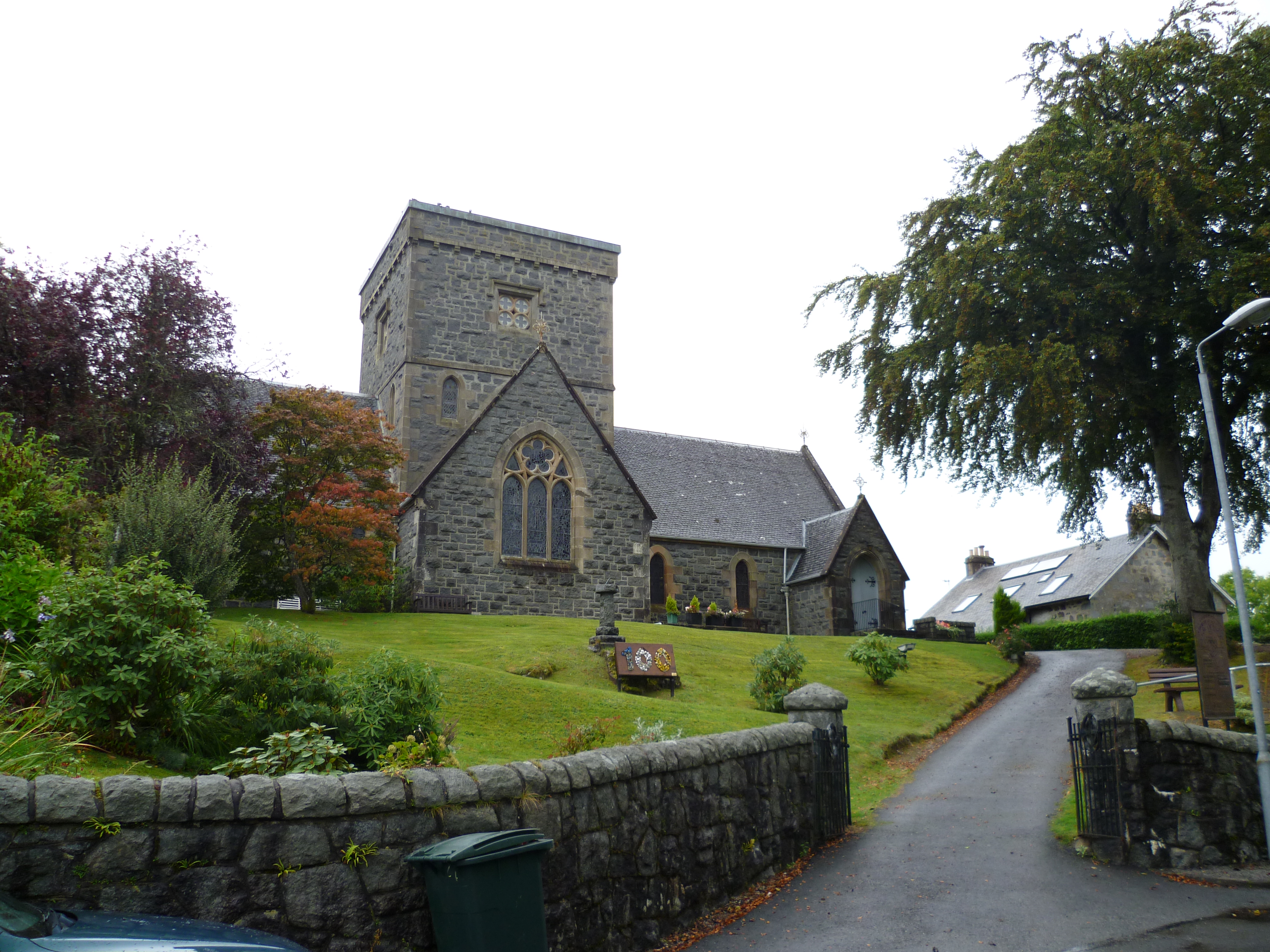
Images are sourced within 2km of 56.403/-5.363 or Grid Reference NM9228. Thanks to Geograph Open Source API. All images are credited.

Glen Lonan road and Clach na Carraig
Glenamachrie farm, Glen Lonan
Standing Stone and Glenamachrie farm
River Lonan and parked car
River Lonan and road bridge Looking downstream.
River Lonan and road bridge
Looking downstream.
River Lonan from the road bridge Looking downstream.
River Lonan from the road bridge
Looking downstream.
River Lonan Looking upstream from the bridge.
River Lonan
Looking upstream from the bridge.
Road and grazing land near Strontoiller
Clach na Carraig standing stone
Cattle grid near Strontoiller The passage for animals to the right looks as though it hasn't been used for a long time.
Cattle grid near Strontoiller
The passage for animals to the right looks as though it hasn't been used for a long time.
Road up Glen Machrie
The River Lonan near Glenmachrie
Fields near Glenmachrie
Looking south across Glen Lonan
The River Lonan As drizzle begins to sweep across the glen.
The River Lonan
As drizzle begins to sweep across the glen.
River Lonan The narrow road through Glen Lonan crosses the river here.  To the north there is a large conifer plantation.
River Lonan
The narrow road through Glen Lonan crosses the river here. To the north there is a large conifer plantation.
Glenamachrie stone row and cairn Prehistoric stone row consisting of three stones. The cairn stands in front of the farm building.
<span class="nowrap"><a title="https://stonerows.wordpress.com/gazetteer/region/argyll-and-isles/glenamachrie/" rel="nofollow ugc noopener" href="https://stonerows.wordpress.com/gazetteer/region/argyll-and-isles/glenamachrie/">Link</a><img style="margin-left:2px;" alt="External link" title="External link - shift click to open in new window" src="https://s1.geograph.org.uk/img/external.png" width="10" height="10"/></span>
Glenamachrie stone row and cairn
Prehistoric stone row consisting of three stones. The cairn stands in front of the farm building. LinkExternal link
Road near Glen Lonan cottage
Show me another place!

An Dùn is located at Grid Ref: NM9228 (Lat: 56.403, Lng: -5.363)

What 3 Words

///openings.slurping.lyricism. Near Oban, Argyll & Bute

Nearby Locations

An Dùn

Related Wikis

Fearnoch

Fearnoch is a small village in Argyll and Bute, Scotland. It is located just off the A85 road, about 2 miles (3 km) west of the village of Taynuilt....

Connel Ferry railway station

Connel Ferry railway station is a railway station serving the village of Connel in western Scotland. This station is on the Oban branch of the West Highland...

Connel

Connel (Gaelic: A' Choingheal) is a village in Argyll and Bute, Scotland. It is situated on the southern shore of Loch Etive. The Lusragan Burn flows through...

Connel Bridge

Connel Bridge is a cantilever bridge that spans Loch Etive at Connel in Scotland. The bridge takes the A828 road across the narrowest part of the loch...

Nearby Amenities

Located within 500m of 56.403,-5.363
Place: farm
Lat/Long: 56.4035286/-5.3666751
Power: pole
Lat/Long: 56.4005752/-5.3562339
Power: pole
Lat/Long: 56.4008792/-5.3582355
Power: pole
Lat/Long: 56.4009647/-5.3611462
Power: pole
Lat/Long: 56.4007068/-5.3636472
Power: pole
Lat/Long: 56.400581/-5.3650871
Power: pole
Lat/Long: 56.4004039/-5.3672961
Power: pole
Lat/Long: 56.400407/-5.3686574
Power: pole
Lat/Long: 56.4024182/-5.3701137
Power: pole
Lat/Long: 56.4021333/-5.3684977
Power: pole
Lat/Long: 56.4018809/-5.3671619
Power: pole
Lat/Long: 56.4015292/-5.3651503
Power: pole
Lat/Long: 56.4012902/-5.3638575
Power: pole
Lat/Long: 56.4011403/-5.3630099
Power: pole
Lat/Long: 56.4011611/-5.3609338
Power: pole
Lat/Long: 56.4011878/-5.3592736
Power: pole
Lat/Long: 56.4008568/-5.3568703
The data included in this document is from www.openstreetmap.org. The data is made available under ODbL.

Have you been to An Dùn ?

Leave your review of An Dùn below (or comments, questions and feedback).