An Dùn
Hill, Mountain in Caithness
Scotland
An Dùn
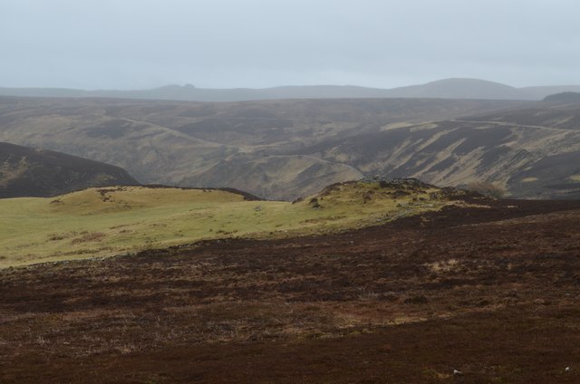
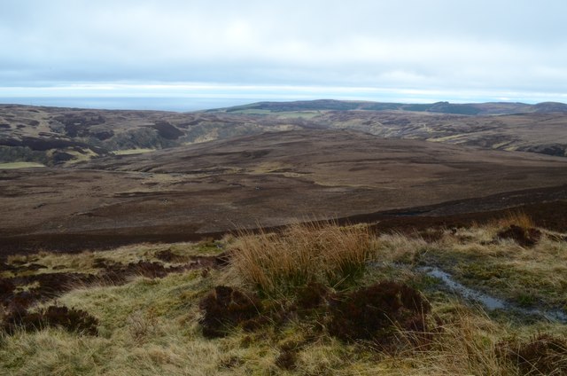
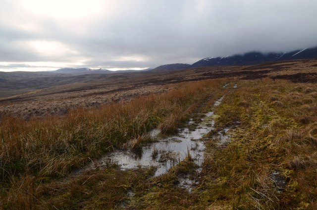
An Dùn, located in Caithness, Scotland, is a prominent hill and mountain that holds historical significance. Rising to a height of approximately 314 meters (1,030 feet), it offers impressive views of the surrounding landscape. An Dùn, also known as Castle Hill or The Hill of Wick, is situated near the town of Wick and overlooks the North Sea.
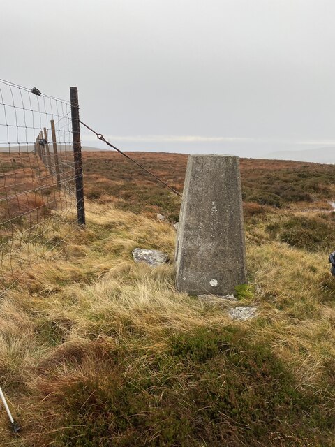
The hill is characterized by its distinctive conical shape, which is a result of its volcanic origins. It is composed of layers of basalt and tuff, formed millions of years ago during volcanic activity. The summit of An Dùn is adorned with the remnants of an ancient fort, believed to have been built during the Iron Age. The fort's circular shape and the remains of defensive walls provide insight into the hill's historical significance as a defensive structure.
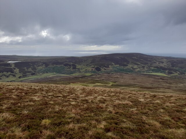
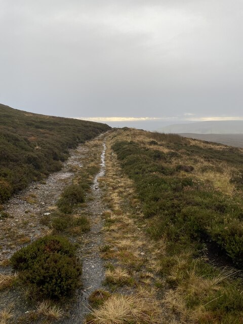
As visitors ascend An Dùn, they can enjoy breathtaking panoramic views of the surrounding area. On a clear day, the horizon unveils the stunning North Sea, with its vast expanse of blue stretching towards the distant horizon. The hill's strategic location provides an ideal vantage point to observe the surrounding coastal landscape, including the town of Wick, with its historic harbor and traditional fishing boats.
An Dùn not only offers a glimpse into Caithness' geological past but also provides an opportunity to explore the ancient history of the region. Its commanding presence and breathtaking views make it a popular destination for hikers, history enthusiasts, and nature lovers alike.
If you have any feedback on the listing, please let us know in the comments section below.
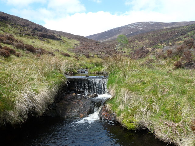
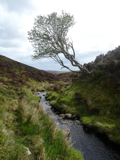
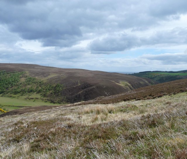
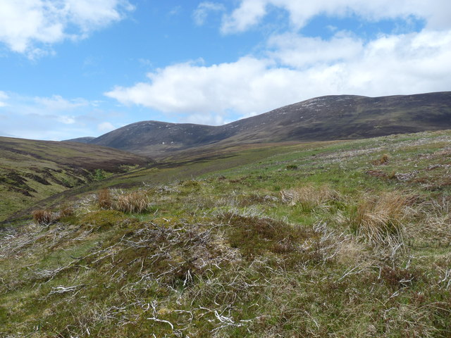
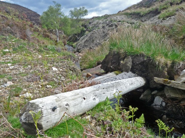
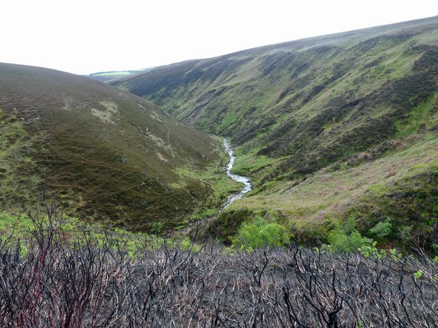
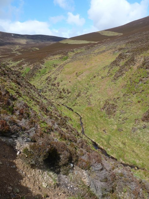
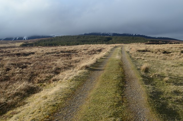
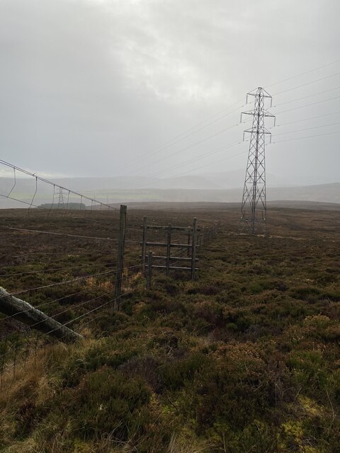
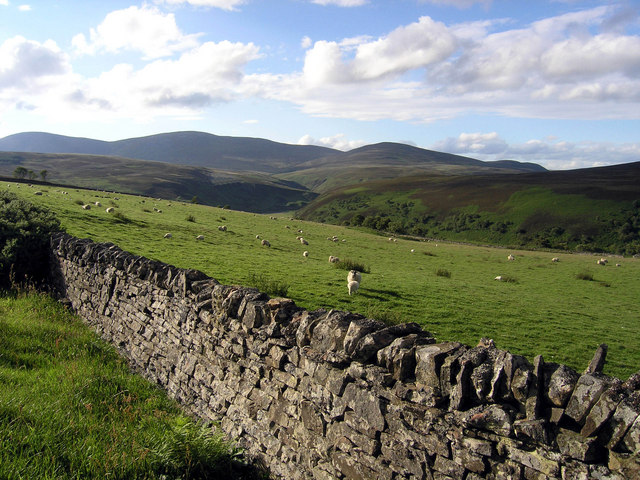
An Dùn Images
Images are sourced within 2km of 58.203792/-3.5270526 or Grid Reference ND1024. Thanks to Geograph Open Source API. All images are credited.
An Dùn is located at Grid Ref: ND1024 (Lat: 58.203792, Lng: -3.5270526)
Unitary Authority: Highland
Police Authority: Highlands and Islands
What 3 Words
///outnumber.bugs.livid. Near Dunbeath, Highland
Nearby Locations
Related Wikis

Berriedale Church
Berriedale Church is a former church in the parish of Latheron, in Berriedale, Caithness, Scotland. Built in 1826, the T-plan building was closed as a...

Berriedale, Highland
Berriedale (Scottish Gaelic: Bearghdal) is a small estate village on the northern east coast of Caithness, Scotland, on the A9 road between Helmsdale and...

Borgue, Highland
Borgue is a village in the historical county of Caithness, 3 miles (5 km) south of Dunbeath in the local authority are of Highland, Scotland.Rev Samuel...
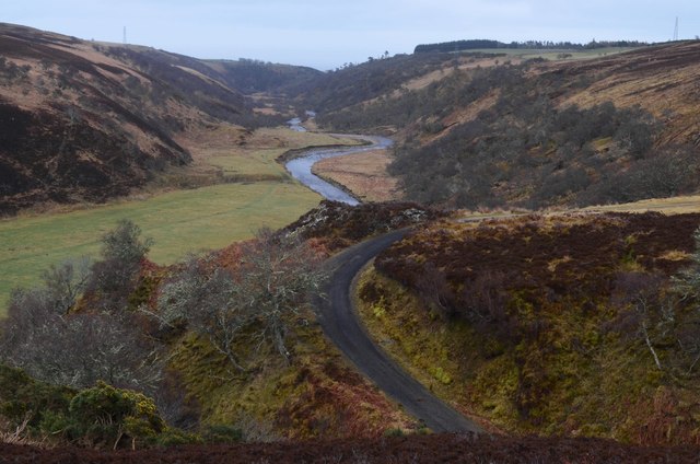
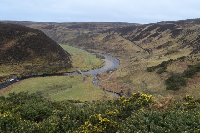
Berriedale Water
Berriedale Water is a short river in Caithness in northern Scotland. It arises as the Feith Gaineimh Mhor, Feith Chaorunn Mhor and Feith Fhuaran come together...
Newport, Caithness
Newport is a small remote village on the eastern shore of Caithness, Scottish Highlands and is in the Scottish council area of Highland.Ramscraig lies...

Berriedale Castle
Berriedale Castle is a ruined castle located on a promontory on the south of the entrance to the Berriedale Water, Caithness in Scotland. == Structure... ==

Dunbeath air crash
The Dunbeath air crash involved the loss of a Short S.25 Sunderland Mk. III that crashed in the Scottish Highlands on a headland known as Eagle's Rock...

Scaraben
Scaraben (626 m) is a hill in the Northwest Highlands of Scotland. It lies in the Caithness region, in the far north. Taking the form of a long ridge over...
Nearby Amenities
Located within 500m of 58.203792,-3.5270526Have you been to An Dùn?
Leave your review of An Dùn below (or comments, questions and feedback).