Akeman Street

Heritage Site in Gloucestershire Cotswold

England

Akeman Street

Road towards Hammersmith Bottom
Road towards Hammersmith Bottom Credit: Helen Steed

Akeman Street is a historic road located in Gloucestershire, England. It is considered a significant heritage site due to its rich historical and cultural importance. The road stretches for approximately 25 miles, running from Cirencester to Stow-on-the-Wold.

Originally, Akeman Street was a Roman road, dating back to the 1st century AD, and was an essential link between the Roman towns of Cirencester and Alchester. Today, it serves as a reminder of the Roman presence in the region and is a popular attraction for history enthusiasts and tourists alike.

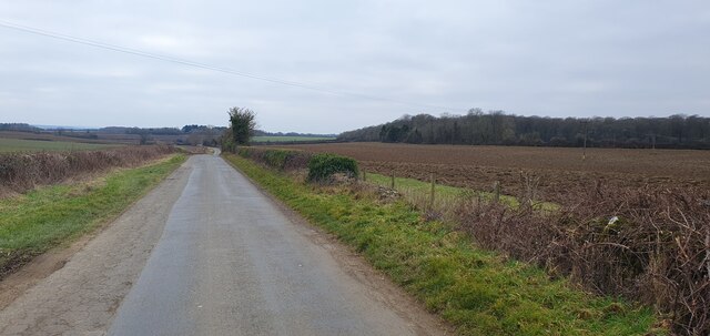
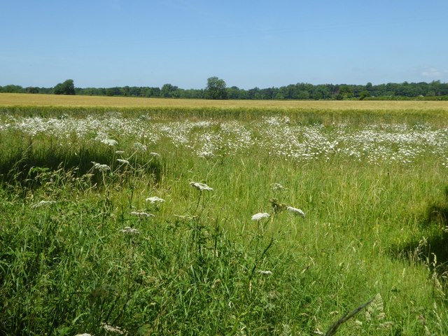
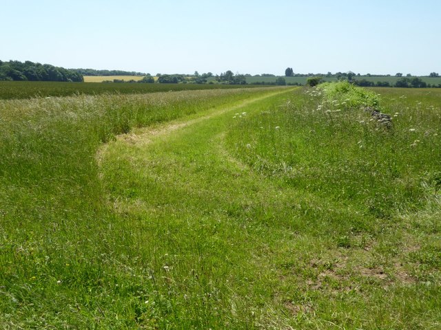
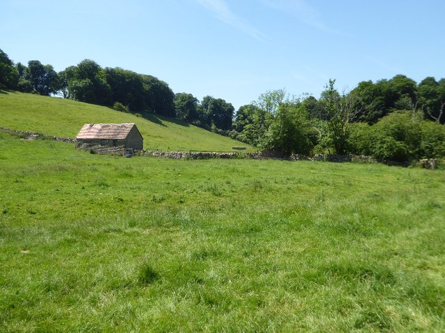
The road itself showcases the remarkable engineering skills of the Romans, with its straight alignment and well-preserved sections. Along Akeman Street, visitors can still see remnants of the original Roman pavement, providing a glimpse into the past. The road passes through picturesque countryside, offering breathtaking views of the surrounding landscape.

Besides its Roman heritage, Akeman Street has historical significance from other periods as well. It was later used as a major route during the medieval period, connecting important towns and settlements. This further adds to its cultural value and charm.

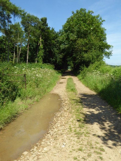
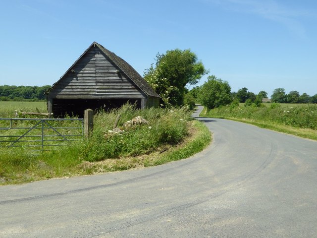
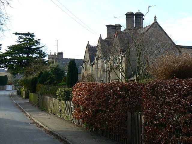
Today, Akeman Street is well-maintained and accessible, allowing visitors to walk or drive along its route. Several points of interest can be found along the road, including ancient sites, historical landmarks, and charming villages. The road's heritage status ensures that its preservation and conservation remain a priority, allowing future generations to continue appreciating and learning from its rich history.

If you have any feedback on the listing, please let us know in the comments section below.

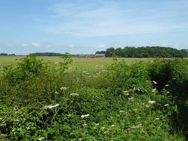
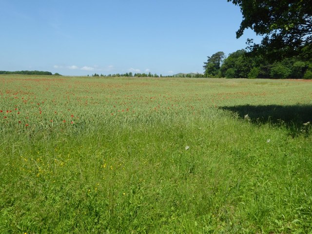
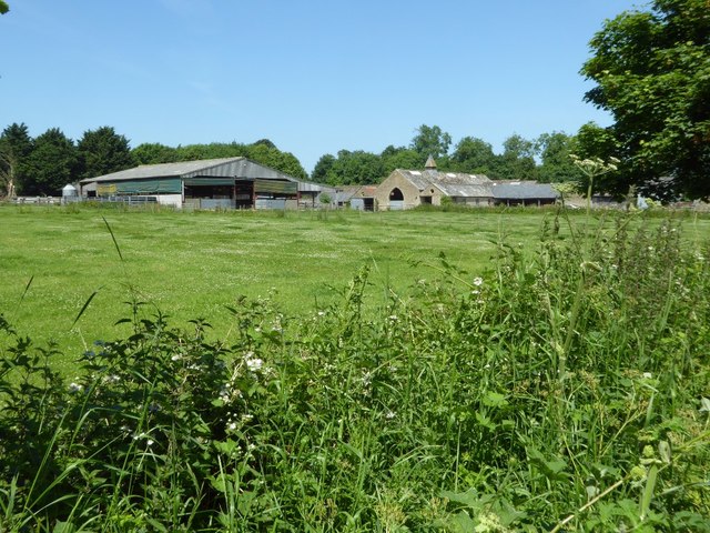
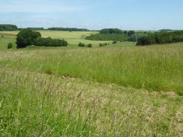
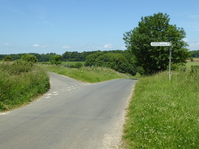
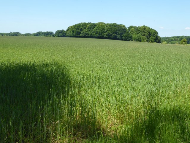
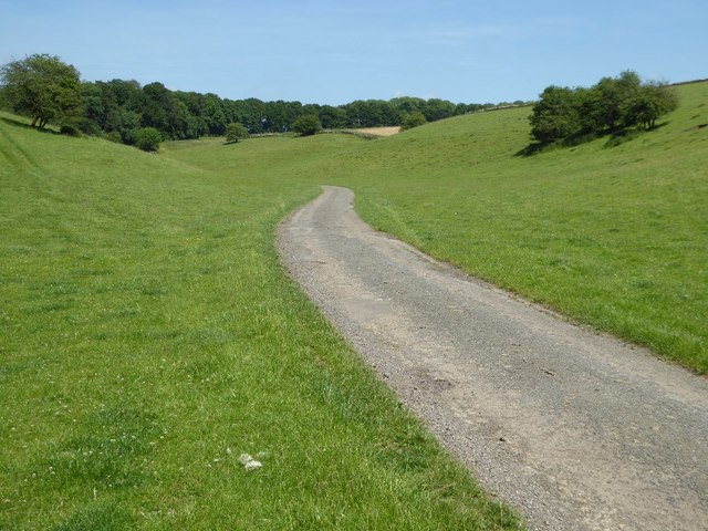
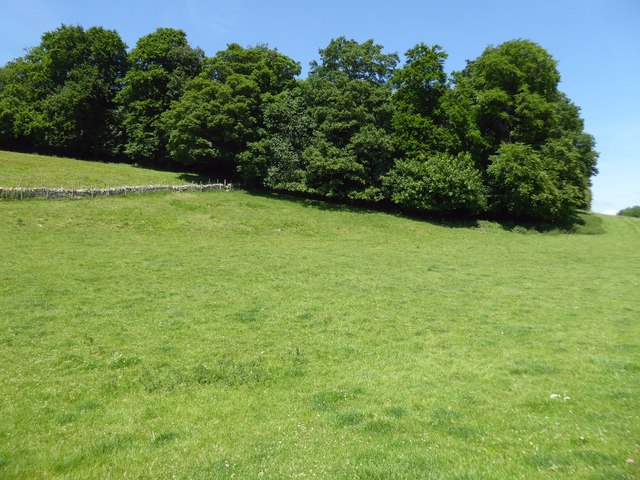
Akeman Street Images

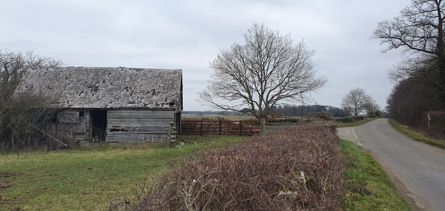
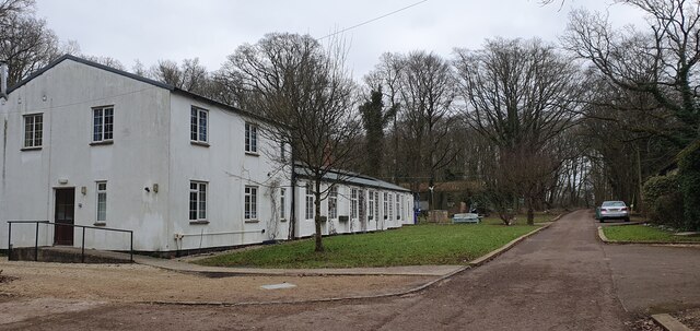
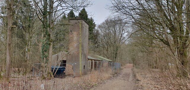
Images are sourced within 2km of 51.757/-1.747 or Grid Reference SP1706. Thanks to Geograph Open Source API. All images are credited.

Road towards Hammersmith Bottom
Derelict farm building near Macaroni Farm
Residential camp buildings in Macaroni Wood Activity Centre
Ex-RAF buildings in Macaroni Wood Activity Centre
Farmland near Glebe Farm Cereal field to the east of Glebe Farm near Hatherop.
Farmland near Glebe Farm
Cereal field to the east of Glebe Farm near Hatherop.
Farmland access track Farmland access track beside a small wood named as Long Ground on the OS map.
Farmland access track
Farmland access track beside a small wood named as Long Ground on the OS map.
Farmland to the east of Hatherop
Shed beside a road junction Shed beside a road junction between Eastleach Turville and Hatherop.
Shed beside a road junction
Shed beside a road junction between Eastleach Turville and Hatherop.
View to Beer Furlong Buildings View to Beer Furlong Buildings near Eastleach Turville.
View to Beer Furlong Buildings
View to Beer Furlong Buildings near Eastleach Turville.
Poppies in a wheat field Poppy flowers in a field of wheat.
Poppies in a wheat field
Poppy flowers in a field of wheat.
Wheat field near Beer Furlong Buildings A wheat with poppies in it in a field near Beer Furlong Buildings, Eastleach Turville.
Wheat field near Beer Furlong Buildings
A wheat with poppies in it in a field near Beer Furlong Buildings, Eastleach Turville.
Beer Furlong Buildings The interestingly named Beer Furlong Buildings viewed from the passing road near Eastleach Turville.
Beer Furlong Buildings
The interestingly named Beer Furlong Buildings viewed from the passing road near Eastleach Turville.
Farmland in the Leach valley Rolling farmland in the Leach valley in south-east Gloucestershire near Eastleach Turville.
Farmland in the Leach valley
Rolling farmland in the Leach valley in south-east Gloucestershire near Eastleach Turville.
Road junction near Eastleach Turville Junction of road to Hatherop and Coln St Aldwyns with a country road near Eastleach Turville.
Road junction near Eastleach Turville
Junction of road to Hatherop and Coln St Aldwyns with a country road near Eastleach Turville.
Wheat field near Eastleach Turville
Road to Macaroni Downs Farm A no through road following a dry Cotswold valley and leading to Macaroni Downs Farm.

The name Macaroni appears somewhat out of place in this corner of Gloucestershire, a little research has identified the origin of this name.  One of the dictionary definitions for the word 'Macaroni' is 'an English dandy of the 18th century who affected Continental mannerisms, clothes, etc.'  Back in the eighteenth century members of the London-based 'Macaroni Club' would attend a racecourse on this land.  In the late 18th and early 19th Century during the reign of George III, enclosure took place here with the farm adopting the name of these former visitors.  Nearby there is another farm named Macaroni Farm and also Macaroni Wood.
Road to Macaroni Downs Farm
A no through road following a dry Cotswold valley and leading to Macaroni Downs Farm. The name Macaroni appears somewhat out of place in this corner of Gloucestershire, a little research has identified the origin of this name. One of the dictionary definitions for the word 'Macaroni' is 'an English dandy of the 18th century who affected Continental mannerisms, clothes, etc.' Back in the eighteenth century members of the London-based 'Macaroni Club' would attend a racecourse on this land. In the late 18th and early 19th Century during the reign of George III, enclosure took place here with the farm adopting the name of these former visitors. Nearby there is another farm named Macaroni Farm and also Macaroni Wood.
Hatherop Piece Hatherop Piece a woodland above a dry valley near Macaroni Downs Farm.
Hatherop Piece
Hatherop Piece a woodland above a dry valley near Macaroni Downs Farm.
Shed in a Cotswold valley
Show me another place!

Akeman Street is located at Grid Ref: SP1706 (Lat: 51.757, Lng: -1.747)

Administrative County: Gloucestershire

District: Cotswold

Police Authority: Gloucestershire

What 3 Words

///trainer.loudness.campsites. Near Fairford, Gloucestershire

Related Wikis

Have you been to Akeman Street ?

Leave your review of Akeman Street below (or comments, questions and feedback).