Akeman Street
Heritage Site in Buckinghamshire
England
Akeman Street
Akeman Street is a renowned heritage site located in Buckinghamshire, England. It is a historic Roman road that runs approximately 25 miles from Cirencester in Gloucestershire to St Albans in Hertfordshire. The road's name is derived from the Celtic word "akeman," meaning "oak-man," suggesting its connection to the ancient oak forests that once dominated the area.
The road dates back to the 1st century AD when the Romans built it as a major route connecting important settlements. Akeman Street played a crucial role in facilitating trade and transportation during the Roman occupation, linking the important towns of Corinium Dobunnorum (Cirencester) and Verulamium (St Albans).
Today, Akeman Street showcases the impressive engineering and construction techniques employed by the Romans. The road is characterized by its straight alignment, raised elevation, and well-preserved gravel surface. These features provide a fascinating insight into Roman road-building techniques and their dedication to creating efficient transport networks.
Visitors to Akeman Street can explore various sections of the road, which are still accessible and visible. The heritage site offers a unique opportunity to walk in the footsteps of Roman travelers, experiencing the same views and landscapes they would have encountered centuries ago.
Akeman Street is not only of historical significance but also holds cultural and archaeological importance. It serves as a tangible reminder of the Roman Empire's impact on the region and its enduring legacy. As such, it attracts historians, archaeologists, and tourists alike, all eager to learn about and appreciate the rich history of Buckinghamshire and its connection to the Roman era.
If you have any feedback on the listing, please let us know in the comments section below.
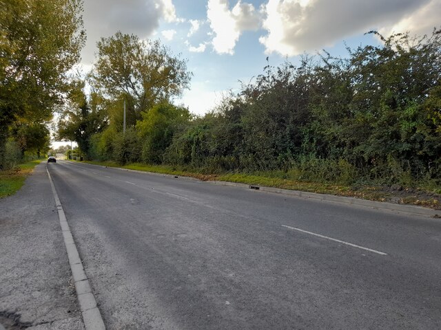
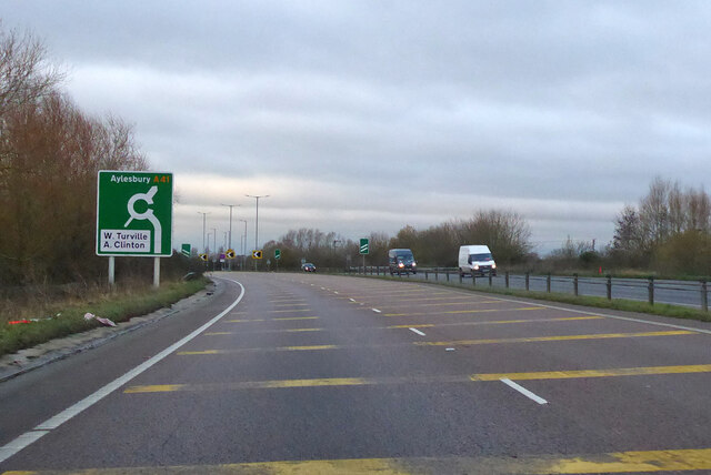
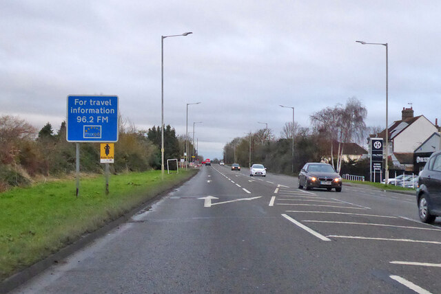
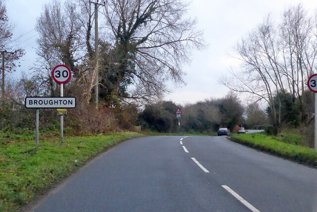
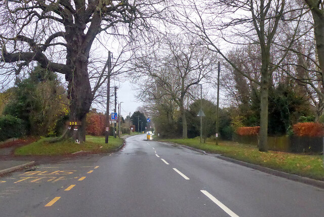
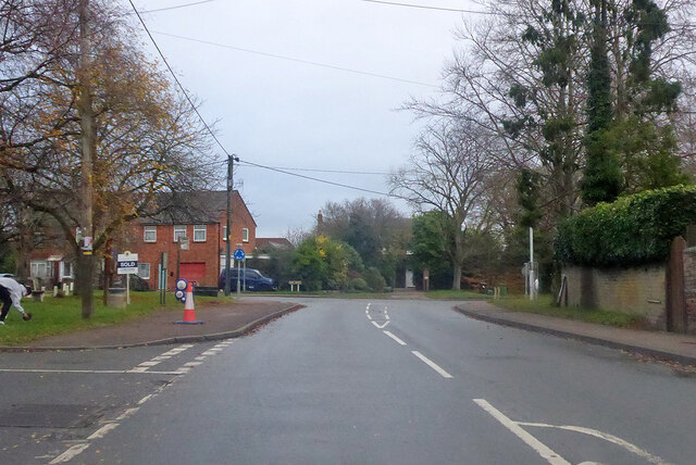
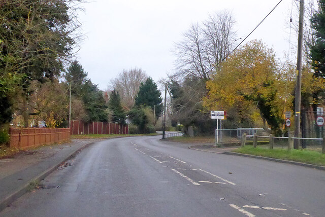
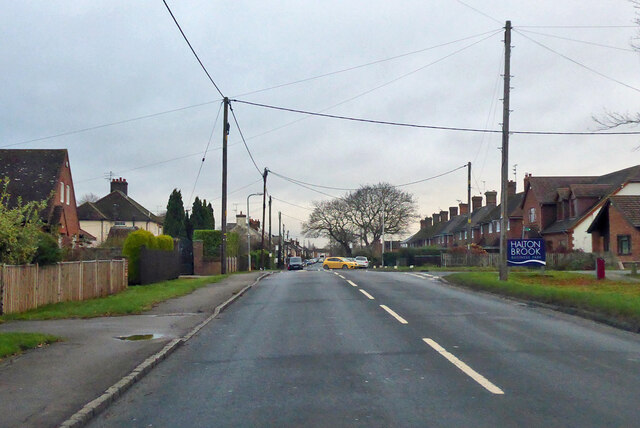
Akeman Street Images
Images are sourced within 2km of 51.803/-0.76 or Grid Reference SP8512. Thanks to Geograph Open Source API. All images are credited.
Akeman Street is located at Grid Ref: SP8512 (Lat: 51.803, Lng: -0.76)
What 3 Words
///cats.served.pops. Near Weston Turville, Buckinghamshire
Nearby Locations
Related Wikis


Nearby Amenities
Located within 500m of 51.803,-0.76Have you been to Akeman Street ?
Leave your review of Akeman Street below (or comments, questions and feedback).