Akeman Street
Heritage Site in Oxfordshire Cherwell
England
Akeman Street
Akeman Street is a historic road located in Oxfordshire, England. It was originally built by the Romans during their occupation of Britain and served as a major thoroughfare connecting the Roman settlements of Cirencester and St. Albans. The road was named after a nearby Iron Age tribe known as the Atrebates, who were believed to have settled in the area.
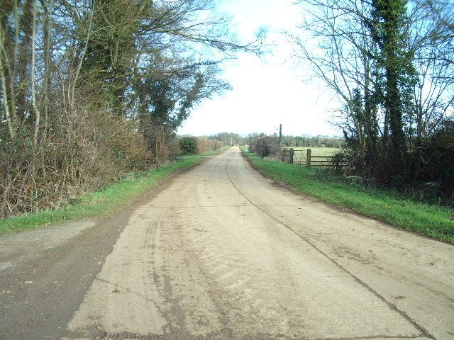
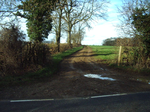
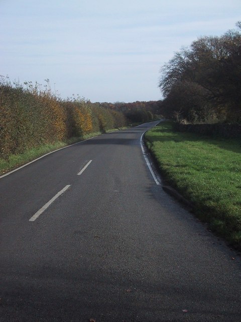
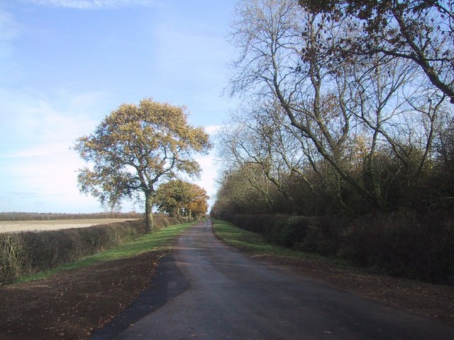
Today, Akeman Street is recognized as a heritage site due to its historical significance. The road has been well-preserved over the centuries and still retains many Roman features, including its straight alignment and well-preserved sections of Roman paving. These features provide valuable insights into the engineering and construction techniques employed by the Romans.
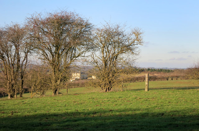
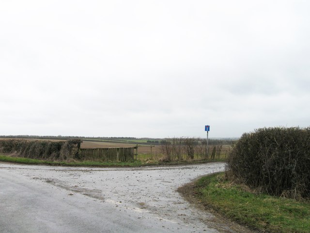
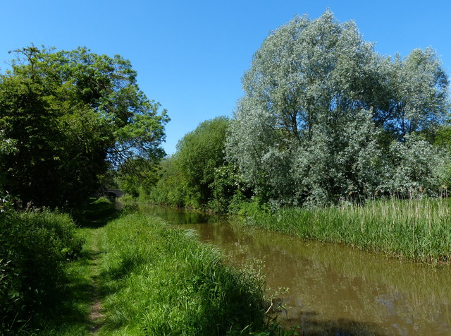
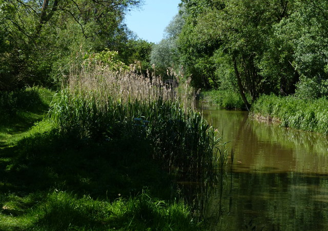
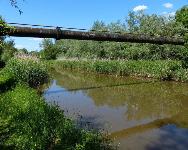
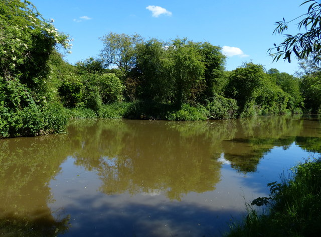
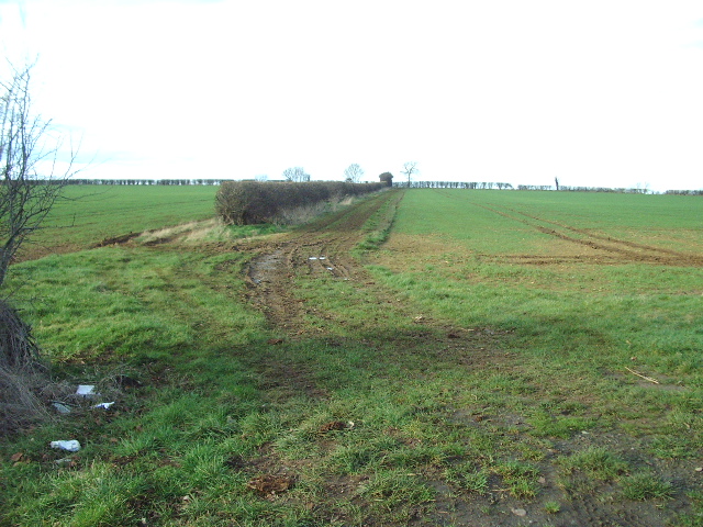
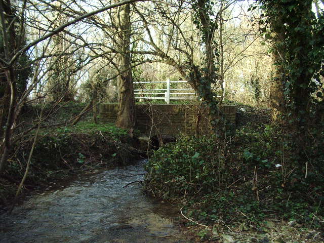
In addition to its historical importance, Akeman Street is also known for its picturesque landscapes. The road winds through the beautiful Oxfordshire countryside, offering stunning views of rolling hills, scenic farmlands, and charming villages. It has become a popular destination for tourists and history enthusiasts, who can explore the area on foot or by cycling along the road.
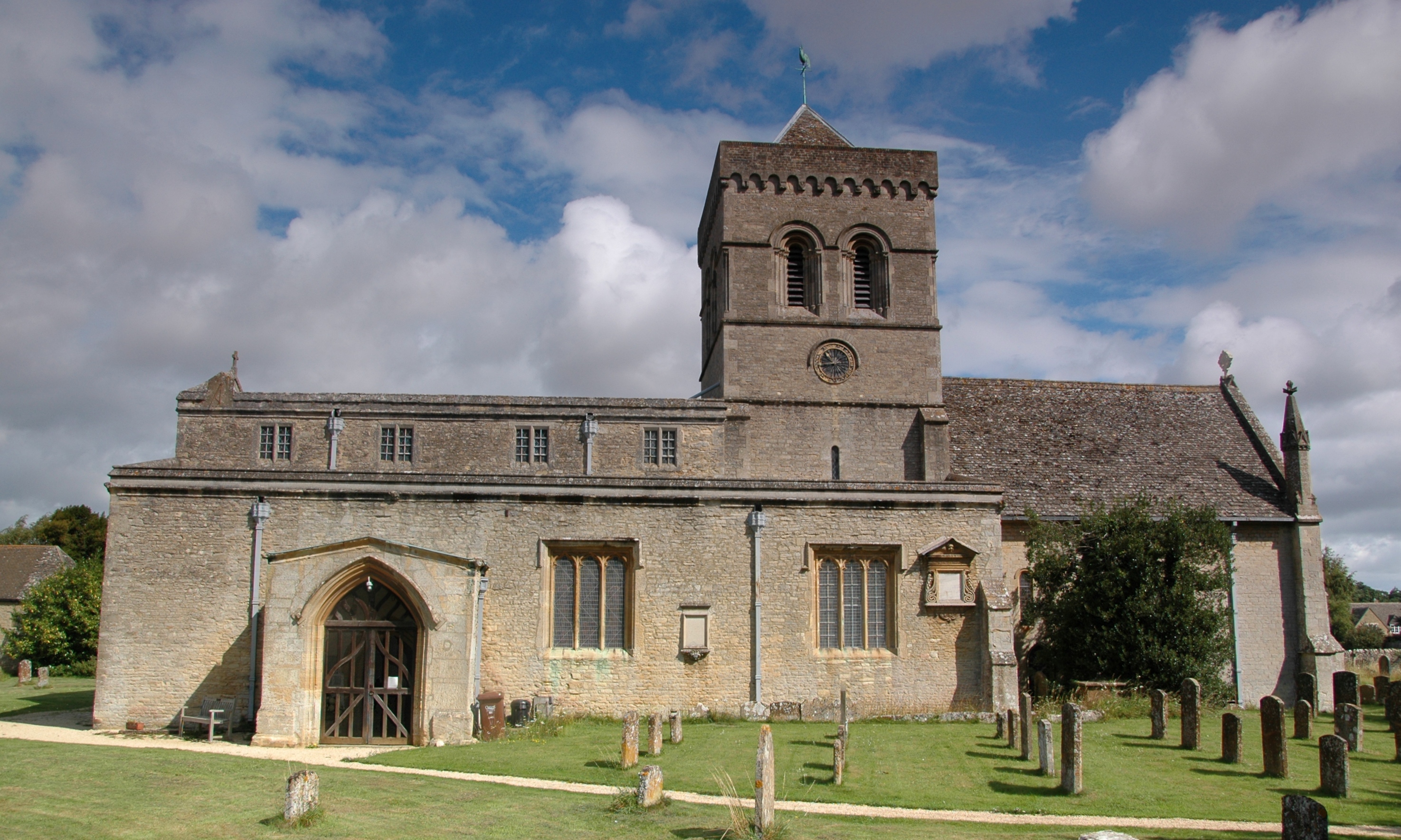
Visitors to Akeman Street can also find several points of interest along the route. These include ancient burial sites, Roman settlements, and even a Roman villa, further highlighting the road's historical significance. Interpretive signs and information boards are placed at key locations, providing visitors with a deeper understanding of the area's rich heritage.
Overall, Akeman Street in Oxfordshire is a captivating heritage site that offers a glimpse into the Roman era and showcases the natural beauty of the surrounding landscape.
If you have any feedback on the listing, please let us know in the comments section below.
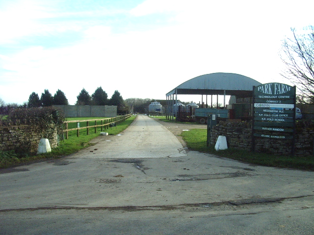
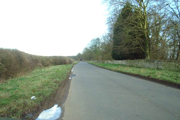
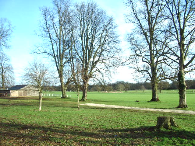
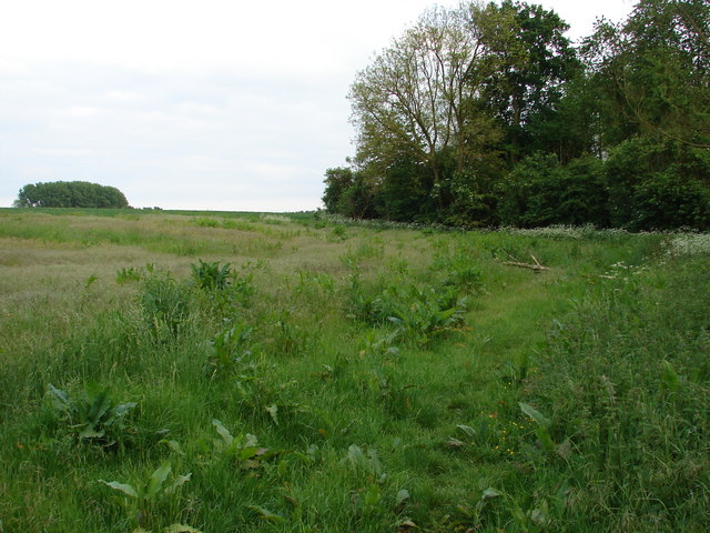
Akeman Street Images
Images are sourced within 2km of 51.88/-1.267 or Grid Reference SP5020. Thanks to Geograph Open Source API. All images are credited.
Akeman Street is located at Grid Ref: SP5020 (Lat: 51.88, Lng: -1.267)
Administrative County: Oxfordshire
District: Cherwell
Police Authority: Thames Valley
What 3 Words
///climber.occur.nobody. Near Kidlington, Oxfordshire
Nearby Locations
Related Wikis
Kirtlington
Kirtlington is a village and civil parish in Oxfordshire about 6+1⁄2 miles (10.5 km) west of Bicester. The parish includes the hamlet of Northbrook. The...

Kirtlington Quarry
Kirtlington Quarry is a 3.1-hectare (7.7-acre) geological Site of Special Scientific Interest west of Kirtlington in Oxfordshire. It is a Geological Conservation...

Tackley railway station
Tackley railway station is on the Cherwell Valley Line in Oxfordshire, England, serving the village of Tackley and its surrounding area. Great Western...

Weston Fen, Oxfordshire
Weston Fen is a 14-hectare (35-acre) biological Site of Special Scientific Interest north of Weston-on-the-Green in Oxfordshire.This site has diverse habitats...

Bletchingdon Park
Bletchington Park is a Grade II* listed Palladian country house in Bletchingdon, Oxfordshire. == History == Bletchington's medieval manor house was rebuilt...

Crecy Hill
Crecy Hill is a 0.8-hectare (2.0-acre) Local Nature Reserve north of Tackley in Oxfordshire. It is owned by Oxford County Council and managed by Tackley...

Aves ditch
Aves Ditch (also known as Ash Bank, or Wattle Bank) is an Iron Age ditch and bank structure running about 3 miles (4.8 km) on a northeast to southwest...
RAF Weston-on-the-Green
RAF Weston-on-the-Green is a Royal Air Force station that was redeveloped after the Great War period. Much demolition took place (including the original...
Nearby Amenities
Located within 500m of 51.88,-1.267Have you been to Akeman Street ?
Leave your review of Akeman Street below (or comments, questions and feedback).