Kirtlington
Civil Parish in Oxfordshire Cherwell
England
Kirtlington

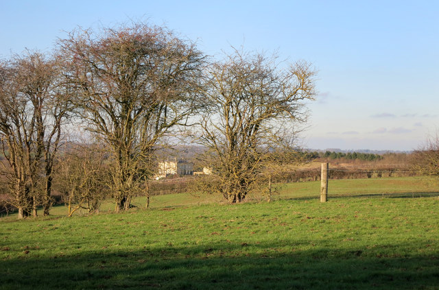
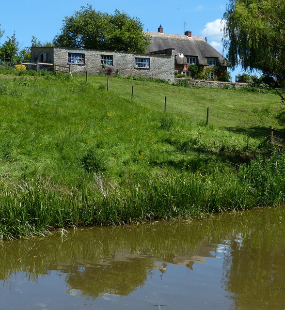
Kirtlington is a civil parish located in the Cherwell district of Oxfordshire, England. Situated approximately seven miles north of Oxford, it covers an area of about 1,100 acres. The village of Kirtlington itself is nestled in the picturesque countryside, with rolling hills and lush green fields surrounding it.
The village has a rich history, with origins dating back to Saxon times. It is mentioned in the Domesday Book of 1086 as "Chertelintone." Throughout the years, it has been a farming community, and evidence of its agricultural heritage can still be seen today.
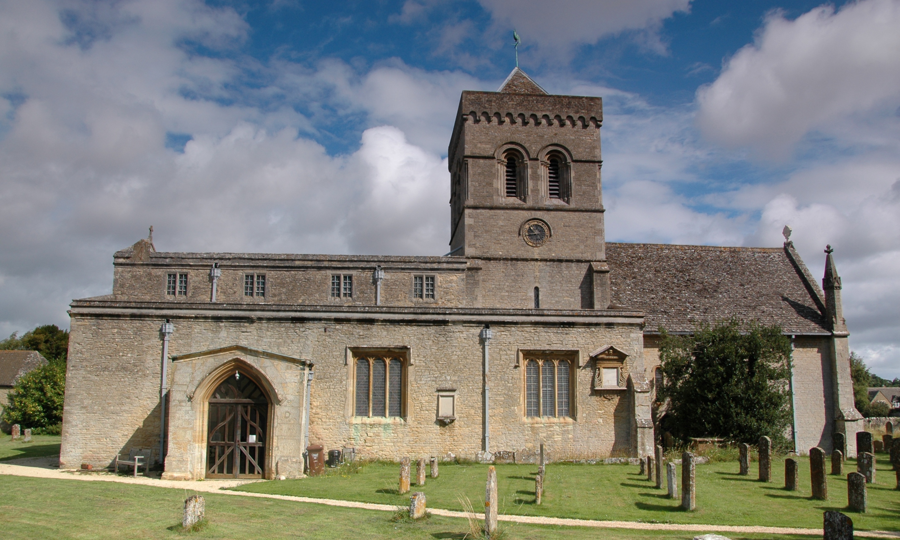
Kirtlington is known for its charming stone cottages and historic buildings. The Parish Church of St. Mary the Virgin is a notable landmark, dating back to the 12th century. The village also features a traditional pub, The Oxford Arms, which offers a cozy atmosphere and serves delicious food and local ales.
The community in Kirtlington is vibrant and close-knit. It has a range of amenities, including a primary school, village hall, sports fields, and a cricket club. The village hosts various events and activities throughout the year, such as the Kirtlington Fete, which attracts visitors from near and far.
The surrounding countryside provides ample opportunities for outdoor pursuits, with scenic walks, cycling routes, and horse riding trails. The nearby Kirtlington Park Polo Club is a popular attraction for equestrian enthusiasts.
Overall, Kirtlington offers a peaceful and idyllic setting, combining its historical charm with modern amenities, making it an attractive place to live or visit in Oxfordshire.
If you have any feedback on the listing, please let us know in the comments section below.
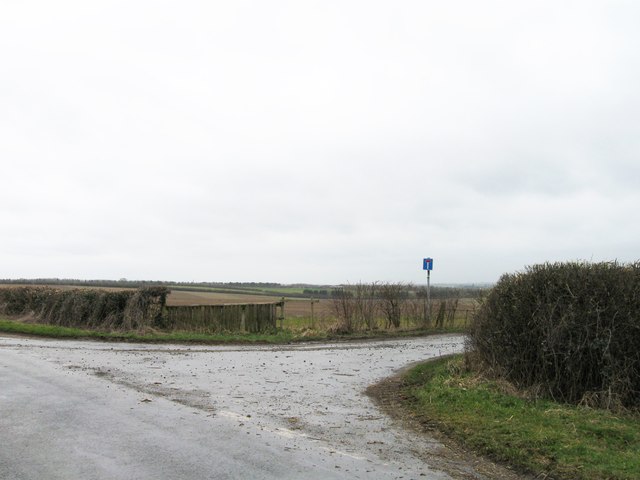
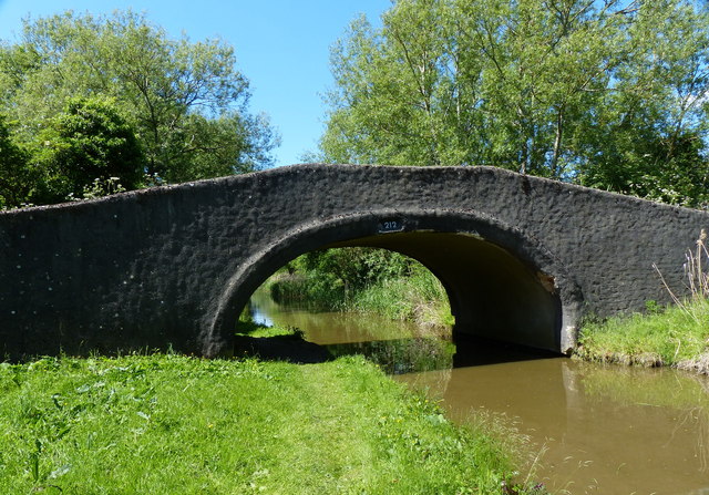
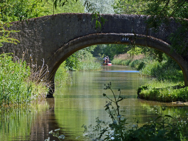
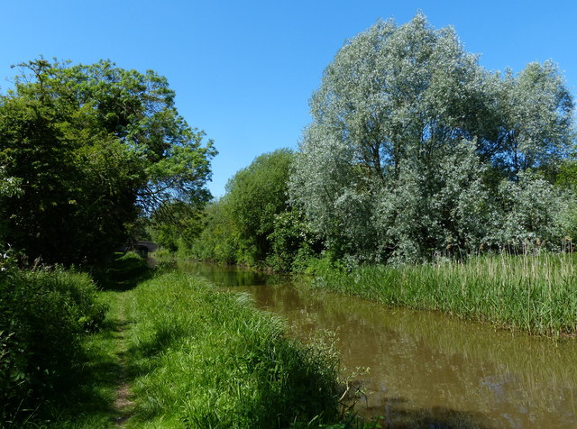
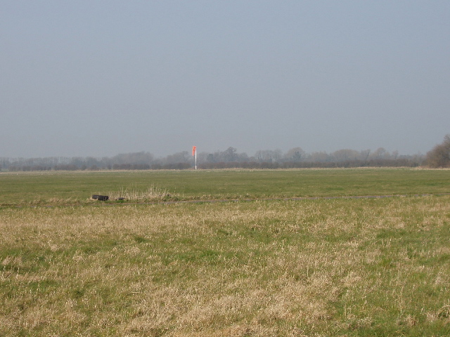
Kirtlington Images
Images are sourced within 2km of 51.883833/-1.270457 or Grid Reference SP5020. Thanks to Geograph Open Source API. All images are credited.


Kirtlington is located at Grid Ref: SP5020 (Lat: 51.883833, Lng: -1.270457)
Administrative County: Oxfordshire
District: Cherwell
Police Authority: Thames Valley
What 3 Words
///opts.enveloped.toned. Near Woodstock, Oxfordshire
Nearby Locations
Related Wikis
Kirtlington
Kirtlington is a village and civil parish in Oxfordshire about 6+1⁄2 miles (10.5 km) west of Bicester. The parish includes the hamlet of Northbrook. The...

Kirtlington Quarry
Kirtlington Quarry is a 3.1-hectare (7.7-acre) geological Site of Special Scientific Interest west of Kirtlington in Oxfordshire. It is a Geological Conservation...

Tackley railway station
Tackley railway station is on the Cherwell Valley Line in Oxfordshire, England, serving the village of Tackley and its surrounding area. Great Western...

Crecy Hill
Crecy Hill is a 0.8-hectare (2.0-acre) Local Nature Reserve north of Tackley in Oxfordshire. It is owned by Oxford County Council and managed by Tackley...

Aves ditch
Aves Ditch (also known as Ash Bank, or Wattle Bank) is an Iron Age ditch and bank structure running about 3 miles (4.8 km) on a northeast to southwest...

Weston Fen, Oxfordshire
Weston Fen is a 14-hectare (35-acre) biological Site of Special Scientific Interest north of Weston-on-the-Green in Oxfordshire.This site has diverse habitats...

Bletchingdon Park
Bletchington Park is a Grade II* listed Palladian country house in Bletchingdon, Oxfordshire. == History == Bletchington's medieval manor house was rebuilt...
RAF Weston-on-the-Green
RAF Weston-on-the-Green is a Royal Air Force station that was redeveloped after the Great War period. Much demolition took place (including the original...
Nearby Amenities
Located within 500m of 51.883833,-1.270457Have you been to Kirtlington?
Leave your review of Kirtlington below (or comments, questions and feedback).