Tyning Wood

Wood, Forest in Gloucestershire Cotswold

England

Tyning Wood

Farmland near Glebe Farm Cereal field to the east of Glebe Farm near Hatherop.
Farmland near Glebe Farm Credit: Philip Halling

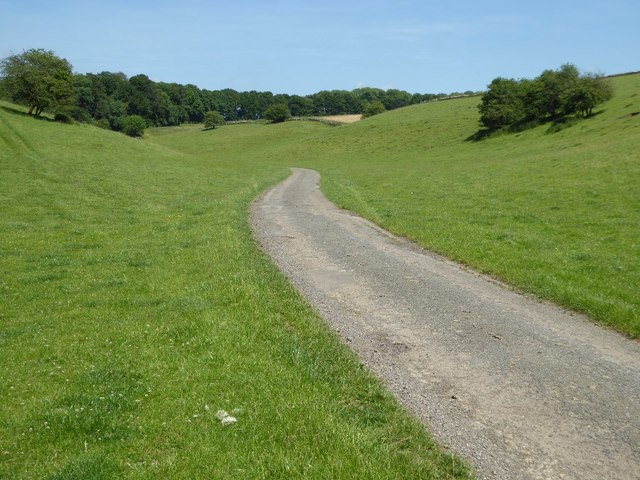
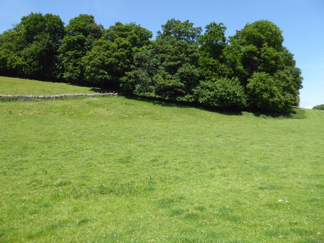
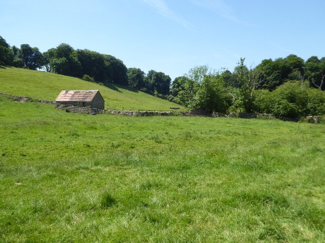
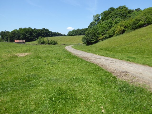
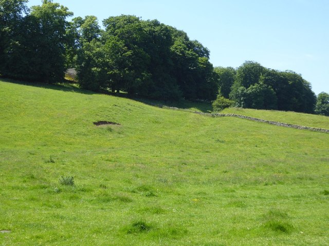
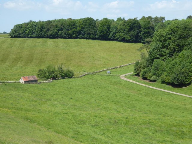
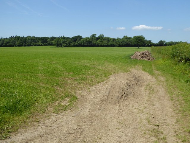
Tyning Wood is a charming forest located in Gloucestershire, England. Covering an area of approximately 10 hectares, it is a popular destination for nature lovers and outdoor enthusiasts alike. The wood is nestled in a picturesque landscape, surrounded by rolling hills and countryside, creating a tranquil and serene atmosphere.

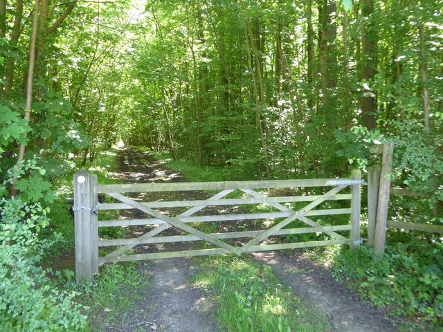
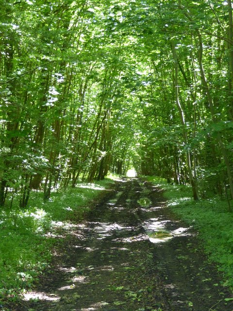
The wood is predominantly composed of native tree species such as oak, beech, and ash, providing a diverse and vibrant ecosystem. The dense canopy of these trees creates a cool and shaded environment, making it an ideal spot for a leisurely stroll or a peaceful picnic.

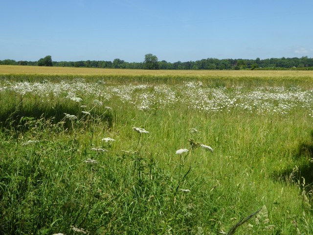
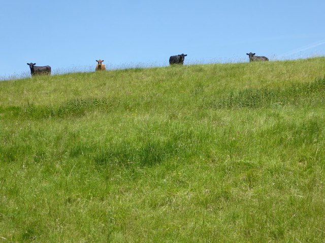
Tyning Wood is known for its rich biodiversity, housing a variety of wildlife species. Visitors can expect to encounter woodland creatures such as foxes, deer, and badgers, as well as a plethora of bird species including woodpeckers and owls. The forest floor is adorned with a carpet of bluebells during the springtime, creating a breathtaking sight and attracting many nature enthusiasts.

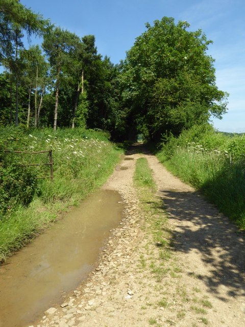
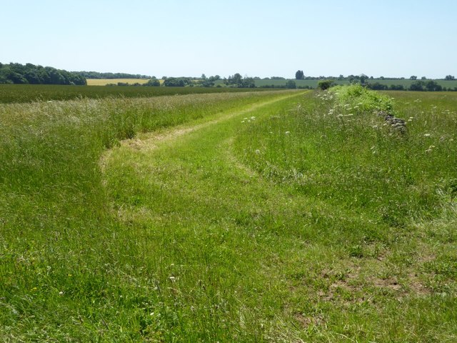
The wood is well-maintained, with clearly marked trails and designated picnic areas. It is a popular spot for families, providing ample space for children to explore and play, while also offering peaceful corners for those seeking solitude.

Access to Tyning Wood is easy, with a car park located nearby, and it is also accessible by public transport. The wood is open to the public year-round, allowing visitors to appreciate its beauty in every season. Whether it's a leisurely walk, a birdwatching expedition, or simply a moment of tranquility in nature, Tyning Wood offers a delightful experience for all who visit.

If you have any feedback on the listing, please let us know in the comments section below.
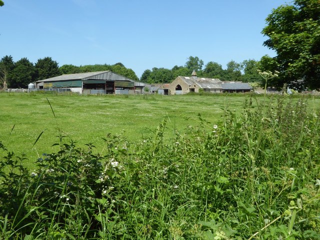
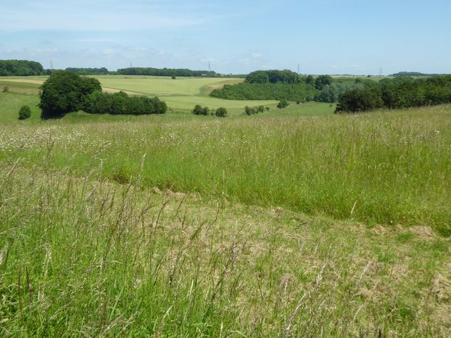
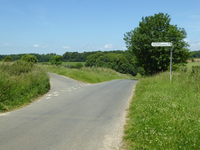
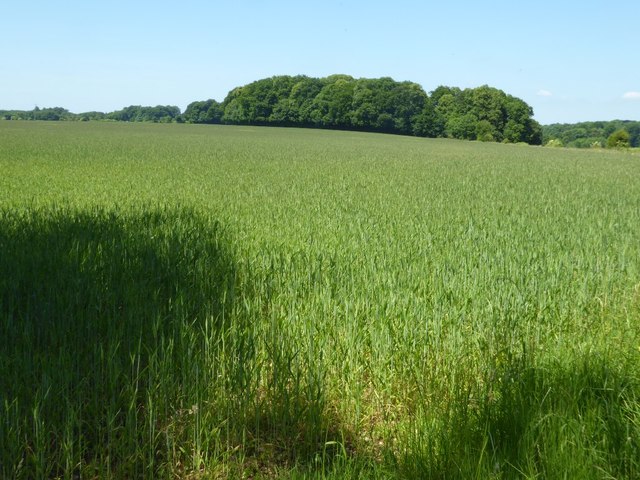
Tyning Wood Images

Images are sourced within 2km of 51.759312/-1.7489968 or Grid Reference SP1706. Thanks to Geograph Open Source API. All images are credited.

Farmland near Glebe Farm Cereal field to the east of Glebe Farm near Hatherop.
Farmland near Glebe Farm
Cereal field to the east of Glebe Farm near Hatherop.
Farmland access track Farmland access track beside a small wood named as Long Ground on the OS map.
Farmland access track
Farmland access track beside a small wood named as Long Ground on the OS map.
Farmland to the east of Hatherop
Wheat field near Beer Furlong Buildings A wheat with poppies in it in a field near Beer Furlong Buildings, Eastleach Turville.
Wheat field near Beer Furlong Buildings
A wheat with poppies in it in a field near Beer Furlong Buildings, Eastleach Turville.
Beer Furlong Buildings The interestingly named Beer Furlong Buildings viewed from the passing road near Eastleach Turville.
Beer Furlong Buildings
The interestingly named Beer Furlong Buildings viewed from the passing road near Eastleach Turville.
Farmland in the Leach valley Rolling farmland in the Leach valley in south-east Gloucestershire near Eastleach Turville.
Farmland in the Leach valley
Rolling farmland in the Leach valley in south-east Gloucestershire near Eastleach Turville.
Road junction near Eastleach Turville Junction of road to Hatherop and Coln St Aldwyns with a country road near Eastleach Turville.
Road junction near Eastleach Turville
Junction of road to Hatherop and Coln St Aldwyns with a country road near Eastleach Turville.
Wheat field near Eastleach Turville
Road to Macaroni Downs Farm A no through road following a dry Cotswold valley and leading to Macaroni Downs Farm.

The name Macaroni appears somewhat out of place in this corner of Gloucestershire, a little research has identified the origin of this name.  One of the dictionary definitions for the word 'Macaroni' is 'an English dandy of the 18th century who affected Continental mannerisms, clothes, etc.'  Back in the eighteenth century members of the London-based 'Macaroni Club' would attend a racecourse on this land.  In the late 18th and early 19th Century during the reign of George III, enclosure took place here with the farm adopting the name of these former visitors.  Nearby there is another farm named Macaroni Farm and also Macaroni Wood.
Road to Macaroni Downs Farm
A no through road following a dry Cotswold valley and leading to Macaroni Downs Farm. The name Macaroni appears somewhat out of place in this corner of Gloucestershire, a little research has identified the origin of this name. One of the dictionary definitions for the word 'Macaroni' is 'an English dandy of the 18th century who affected Continental mannerisms, clothes, etc.' Back in the eighteenth century members of the London-based 'Macaroni Club' would attend a racecourse on this land. In the late 18th and early 19th Century during the reign of George III, enclosure took place here with the farm adopting the name of these former visitors. Nearby there is another farm named Macaroni Farm and also Macaroni Wood.
Hatherop Piece Hatherop Piece a woodland above a dry valley near Macaroni Downs Farm.
Hatherop Piece
Hatherop Piece a woodland above a dry valley near Macaroni Downs Farm.
Shed in a Cotswold valley
Cattle on the skyline Inquisitive cattle on the brow of the hill watching me in the valley below.
Cattle on the skyline
Inquisitive cattle on the brow of the hill watching me in the valley below.
Road to Macaroni Downs Farm Country road passing through a dry Cotswold valley.


The name Macaroni appears somewhat out of place in this corner of Gloucestershire, a little research has identified the origin of this name.  One of the dictionary definitions for the word 'Macaroni' is 'an English dandy of the 18th century who affected Continental mannerisms, clothes, etc.'  Back in the eighteenth century members of the London-based 'Macaroni Club' would attend a racecourse on this land.  In the late 18th and early 19th Century during the reign of George III, enclosure took place here with the farm adopting the name of these former visitors.  Nearby there is another farm named Macaroni Farm and also Macaroni Wood.
Road to Macaroni Downs Farm
Country road passing through a dry Cotswold valley. The name Macaroni appears somewhat out of place in this corner of Gloucestershire, a little research has identified the origin of this name. One of the dictionary definitions for the word 'Macaroni' is 'an English dandy of the 18th century who affected Continental mannerisms, clothes, etc.' Back in the eighteenth century members of the London-based 'Macaroni Club' would attend a racecourse on this land. In the late 18th and early 19th Century during the reign of George III, enclosure took place here with the farm adopting the name of these former visitors. Nearby there is another farm named Macaroni Farm and also Macaroni Wood.
The line of Akeman Street The line of Akeman Street, a Roman Road connecting Watling Street and the Fosse Way is very evident here as it descends into this valley near Eastleach, see the slight depression and the line of the dry stone wall to the right of the centre of the picture.
The line of Akeman Street
The line of Akeman Street, a Roman Road connecting Watling Street and the Fosse Way is very evident here as it descends into this valley near Eastleach, see the slight depression and the line of the dry stone wall to the right of the centre of the picture.
Cotswold valley Farmland in a Cotswold valley to the south of Macaroni Downs Farm near Eastleach Turville.
Cotswold valley
Farmland in a Cotswold valley to the south of Macaroni Downs Farm near Eastleach Turville.
Gate on woodland track Gate on a track and footpath passing through a wood at Coln Lane Ground.
Gate on woodland track
Gate on a track and footpath passing through a wood at Coln Lane Ground.
Farmland near Williamstrip Farm Tyning Wood can be seen on the far side of the field.
Farmland near Williamstrip Farm
Tyning Wood can be seen on the far side of the field.
Woodland track and footpath Woodland track and footpath at Coln Lane Ground.
Woodland track and footpath
Woodland track and footpath at Coln Lane Ground.
Show me another place!

Tyning Wood is located at Grid Ref: SP1706 (Lat: 51.759312, Lng: -1.7489968)

Administrative County: Gloucestershire

District: Cotswold

Police Authority: Gloucestershire

What 3 Words

///scuba.proved.polka. Near Fairford, Gloucestershire

Related Wikis

Have you been to Tyning Wood?

Leave your review of Tyning Wood below (or comments, questions and feedback).