Aiket Castle

Heritage Site in Ayrshire

Scotland

Aiket Castle

Minor road south of the B778 Bordered by hawthorn hedgerows this single-track road is seen here looking north towards the crossroads where it meets the B778.
Minor road south of the B778 Credit: Alec MacKinnon

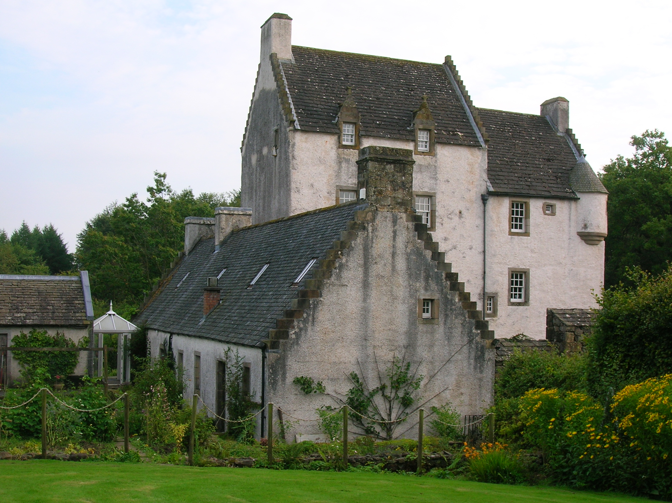
Aiket Castle, located in Ayrshire, Scotland, is a historic site that exudes architectural charm and cultural significance. This medieval castle stands proudly atop a small hill on the outskirts of the village of Dunlop. Dating back to the 14th century, it has witnessed centuries of Scottish history and has been recognized as a Category A listed building by Historic Environment Scotland.

The castle's design is a prime example of a Scottish tower house, with a square layout and four floors. Constructed primarily from local red sandstone, it showcases the typical features of its time, including an impressive entrance with a barrel-vaulted porch and a narrow spiral staircase leading to the upper levels. Aiket Castle's battlements and crow-stepped gables further add to its visual appeal.

Over the years, Aiket Castle has undergone several modifications and restorations. It was originally built by the Wallace family, but it changed hands multiple times throughout its history. Today, it is privately owned and carefully maintained to preserve its historical significance.

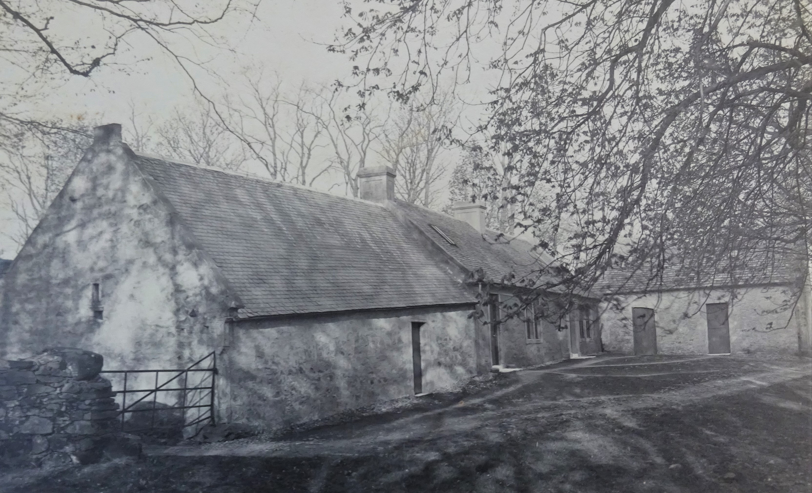
Visitors can explore the castle's exterior, taking in its picturesque setting and admiring its well-preserved architecture. While access to the interior is limited, the castle's exterior alone offers a glimpse into Scotland's rich heritage. Aiket Castle stands as a reminder of a bygone era, captivating visitors with its imposing presence and standing as a testament to Scottish architectural prowess.

If you have any feedback on the listing, please let us know in the comments section below.
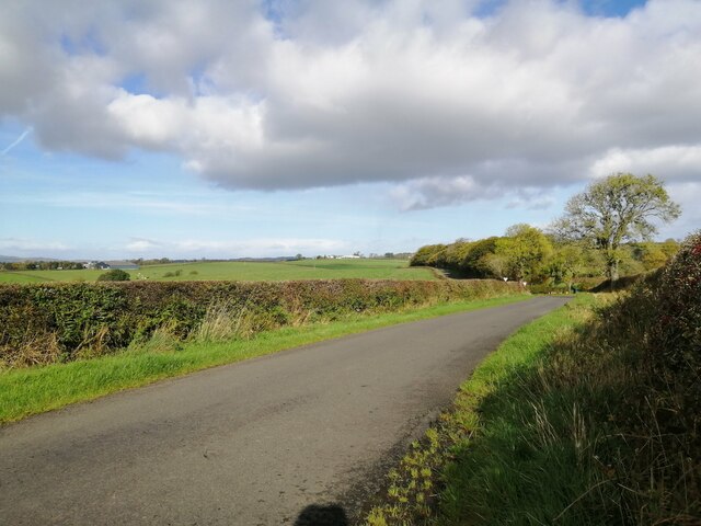
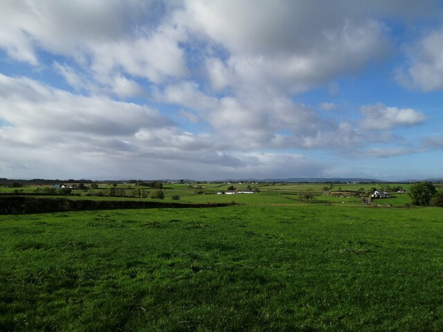
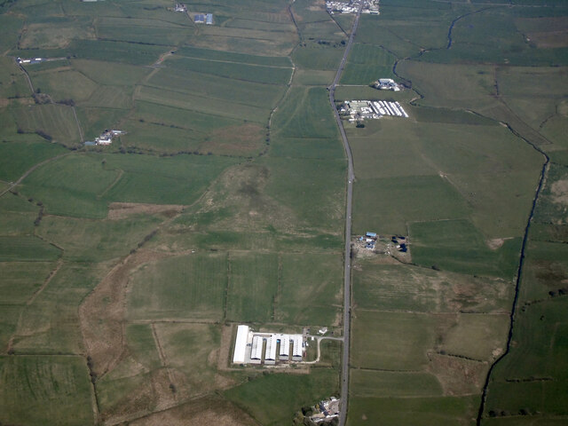
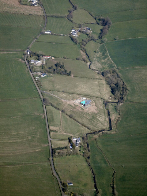
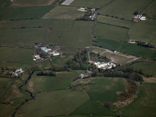
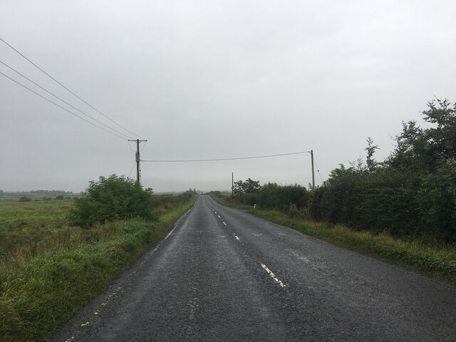
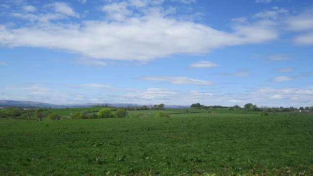
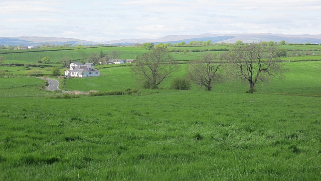
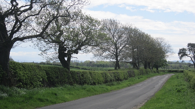
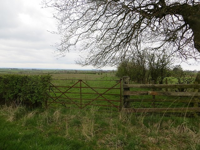
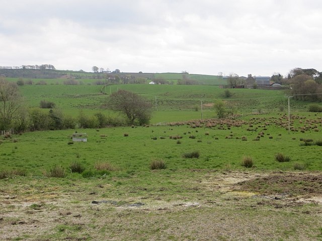
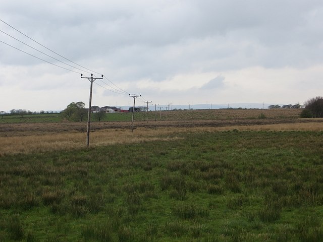
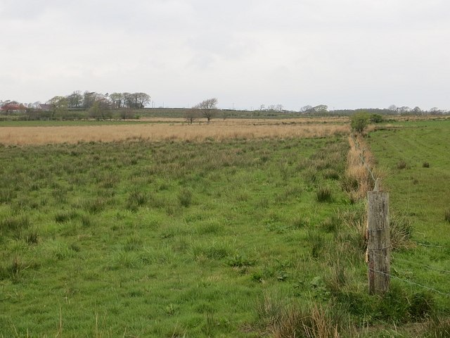
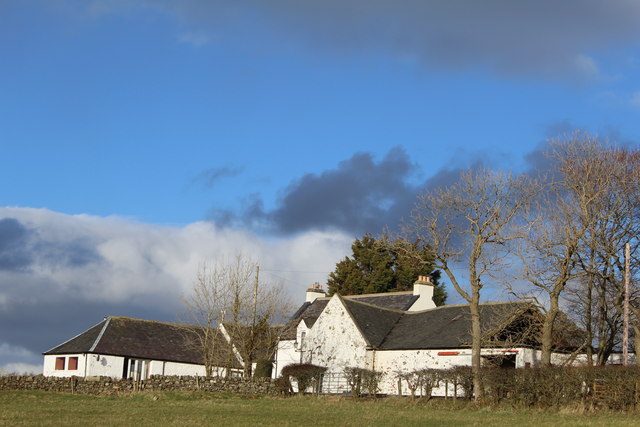
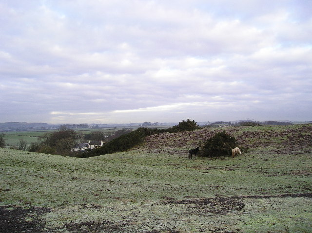
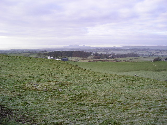
Aiket Castle Images

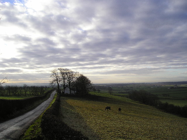
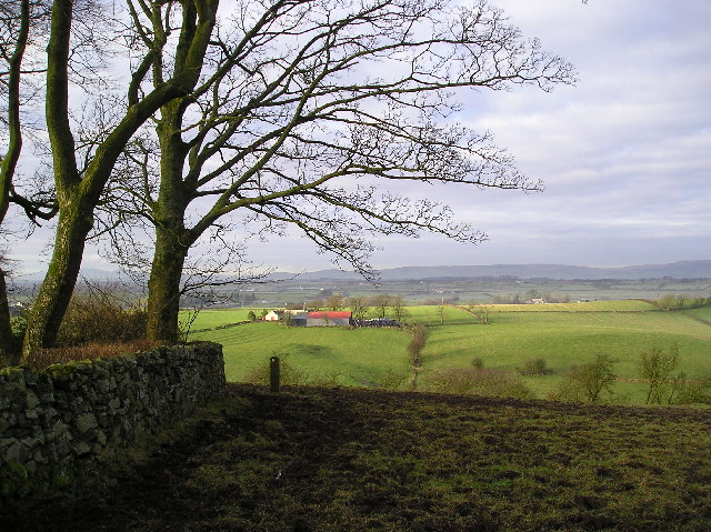
Images are sourced within 2km of 55.703/-4.57 or Grid Reference NS3848. Thanks to Geograph Open Source API. All images are credited.

Minor road south of the B778 Bordered by hawthorn hedgerows this single-track road is seen here looking north towards the crossroads where it meets the B778.
Minor road south of the B778
Bordered by hawthorn hedgerows this single-track road is seen here looking north towards the crossroads where it meets the B778.
Farmland near Bloakholmes The picture looks west across grasslands towards the farm at Bloakholmes.
Farmland near Bloakholmes
The picture looks west across grasslands towards the farm at Bloakholmes.
Lochlibo Road from the air The A736 Lochlibo Road between Burnhouse and Auchentiber. The Aviagen poultry farm is in the foreground.
Lochlibo Road from the air
The A736 Lochlibo Road between Burnhouse and Auchentiber. The Aviagen poultry farm is in the foreground.
The Glazet Burn from the air Between Auchentiber and Dunlop
The Glazet Burn from the air
Between Auchentiber and Dunlop
Aiket Castle from the air The Category C Listed <span class="nowrap"><a title="http://portal.historicenvironment.scot/designation/LB50079" rel="nofollow ugc noopener" href="http://portal.historicenvironment.scot/designation/LB50079">Link</a><img style="margin-left:2px;" alt="External link" title="External link - shift click to open in new window" src="https://s1.geograph.org.uk/img/external.png" width="10" height="10"/></span> formerly ruined castle near Dunlop was rebuilt in the late 1970s by the late Robert Clow of the well known Glasgow bookshop chain John Smith & Son.
Aiket Castle from the air
The Category C Listed LinkExternal link formerly ruined castle near Dunlop was rebuilt in the late 1970s by the late Robert Clow of the well known Glasgow bookshop chain John Smith & Son.
A736 towards Glasgow
Pasture, Gunshill Ayrshire's legendary grassland.
Pasture, Gunshill
Ayrshire's legendary grassland.
Green field Bloakhillhead: after a slow start, the grass is growing now.
Green field
Bloakhillhead: after a slow start, the grass is growing now.
Minor road, Bloakhillhead
Fields, Nettlehirst
Fields, Nettlehirst
Fields, Deepstone Poor drainage is a problem in this area.
Fields, Deepstone
Poor drainage is a problem in this area.
Sidehead Moss Wet pasture off the A736.
Sidehead Moss
Wet pasture off the A736.
Sidehead Moss Grassland merging into bog.
Sidehead Moss
Grassland merging into bog.
Nether Oldhall
Nether Oldhall
Horses Horses grazing on a pile of old gorse bushes recently cleared from the area of hillside just behind the pile. Over Borland farm in Sq. NS3949 can also be seen in the picture.
Horses
Horses grazing on a pile of old gorse bushes recently cleared from the area of hillside just behind the pile. Over Borland farm in Sq. NS3949 can also be seen in the picture.
Farm View to Low Borland farm, with to the right and further west (<a href="https://www.geograph.org.uk/gridref/NS3848">NS3848</a>) Aiket Castle can be seen, and on the horizon the hills of the Island of Arran.
Farm
View to Low Borland farm, with to the right and further west (NS3848) Aiket Castle can be seen, and on the horizon the hills of the Island of Arran.
Shadows Bankend and horses in the farm field, noticeable are the long shadows cast by the winter sunshine.Photograph taken around midday.
Shadows
Bankend and horses in the farm field, noticeable are the long shadows cast by the winter sunshine.Photograph taken around midday.
Ravenslie Farm The red roofed barn of Ravenslie Farm and surrounding fields. In the foreground the boundary wall and trees of Bankhead.
Ravenslie Farm
The red roofed barn of Ravenslie Farm and surrounding fields. In the foreground the boundary wall and trees of Bankhead.
Show me another place!

Aiket Castle is located at Grid Ref: NS3848 (Lat: 55.703, Lng: -4.57)

Unitary Authority: East Ayrshire

Police Authority: Ayrshire

What 3 Words

///skirting.bleaching.diplomas. Near Dunlop, East Ayrshire

Related Wikis

Barony of Aiket

The Barony of Aiket with its castle, lay within the old feudal bailiary of Cunninghame. The barony lands equate to the extant Parish of Dunlop, East Ayrshire...

Lands of Borland

The Lands of Borland formed an estate lying between Aiket Castle and the town of Dunlop, East Ayrshire, Parish of Dunlop, Scotland. The laird's house at...

Bloak

Bloak was a hamlet or clachan in East Ayrshire, Parish of Stewarton, Scotland. The habitation was situated between Auchentiber and Stewarton on the B778...

Lands of Templehouse

The Lands of Templehouse formed a small estate lying between Aiket Castle and the town of Dunlop, East Ayrshire, Parish of Dunlop, Scotland. The laird...

Nearby Amenities

Located within 500m of 55.703,-4.57
Power: pole
Lat/Long: 55.6988459/-4.5727823
Power: pole
Lat/Long: 55.6996021/-4.5716846
Power: pole
Lat/Long: 55.7003453/-4.5706245
Power: pole
Lat/Long: 55.7008745/-4.5694663
Power: pole
Lat/Long: 55.7013931/-4.5683311
Power: pole
Lat/Long: 55.701974/-4.5670706
Power: pole
Lat/Long: 55.7025549/-4.5658164
Power: pole
Lat/Long: 55.7031229/-4.5645873
Power: pole
Lat/Long: 55.7037155/-4.5632934
Power: pole
Lat/Long: 55.6987506/-4.5677175
Power: pole
Lat/Long: 55.7018529/-4.5688736
Power: pole
Lat/Long: 55.702569/-4.5697752
Power: pole
Lat/Long: 55.7031182/-4.570468
Power: pole
Lat/Long: 55.7036767/-4.5711566
Power: pole
Lat/Long: 55.704481/-4.5709813
Power: pole
Lat/Long: 55.705277/-4.570804
Power: pole
Lat/Long: 55.7057674/-4.5702969
Power: pole
Lat/Long: 55.7061801/-4.5698816
Power: pole
Lat/Long: 55.7065646/-4.5694851
The data included in this document is from www.openstreetmap.org. The data is made available under ODbL.

Have you been to Aiket Castle?

Leave your review of Aiket Castle below (or comments, questions and feedback).