Airlie Castle

Heritage Site in Angus

Scotland

Airlie Castle

Melgam Water Melgam Water from the bridge near Kinnaird.
Melgam Water Credit: Scott Cormie

Airlie Castle is a historic mansion located in the Angus region of Scotland. Situated on a hilltop, the castle offers breathtaking views of the surrounding countryside. It is considered a significant heritage site due to its rich history and architectural importance.

The castle dates back to the 12th century and has undergone several renovations and additions over the centuries. Originally a simple tower house, it was gradually expanded into a grand mansion with a unique mix of architectural styles, including medieval, Gothic, and classical elements. The building is characterized by its imposing stone façade, turrets, and ornamental details.

Throughout its history, Airlie Castle has been home to the Ogilvy family, one of the oldest noble families in Scotland. The castle has witnessed numerous historical events and played a role in various conflicts, including the Wars of Scottish Independence and the Jacobite uprisings.

Visitors to Airlie Castle can explore its well-preserved interiors, which showcase a blend of period furniture, artwork, and historical artifacts. The castle's rooms are adorned with intricate woodwork, tapestries, and ornate ceilings, offering a glimpse into the opulent lifestyles of the castle's former inhabitants.

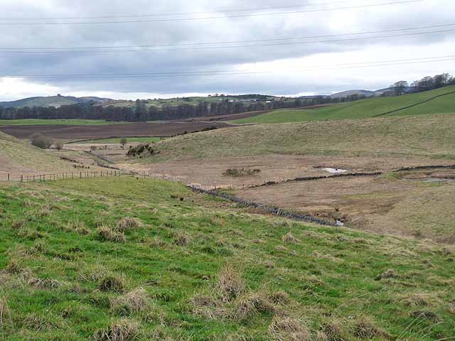
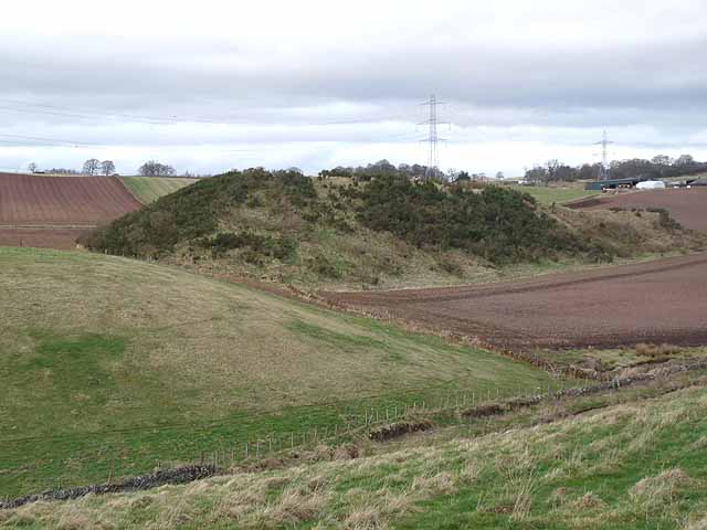
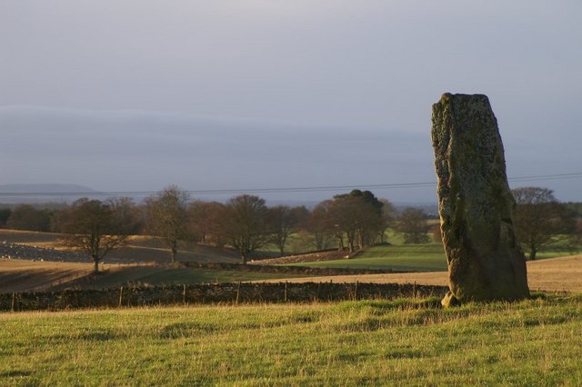
Surrounded by beautifully landscaped gardens and a picturesque estate, Airlie Castle provides a serene and tranquil setting for visitors to enjoy. The estate also features ancient woodlands, a walled garden, and a peaceful lake, adding to the charm and beauty of the site.

Airlie Castle is open to the public during select times of the year, allowing visitors to appreciate its historical significance and immerse themselves in the splendor of this impressive heritage site.

If you have any feedback on the listing, please let us know in the comments section below.

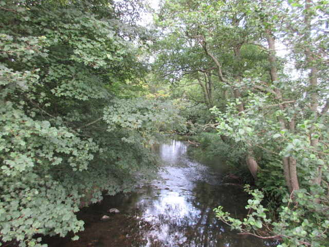
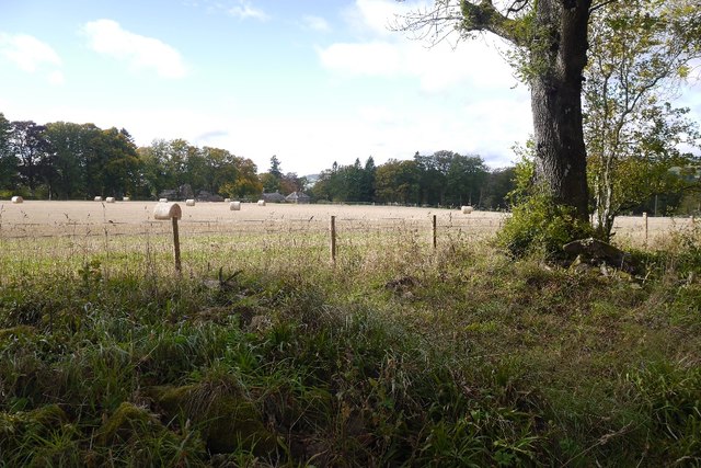
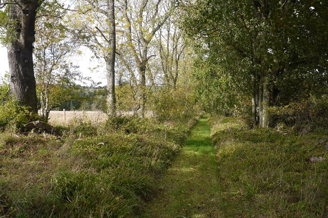
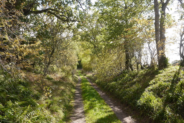
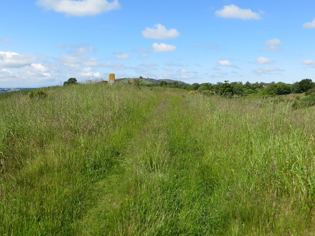
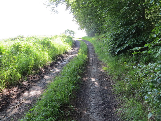
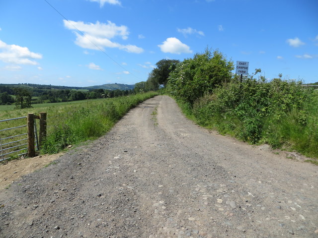
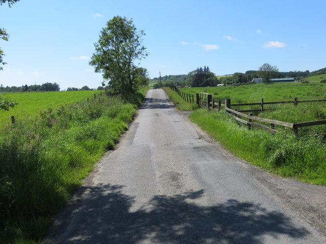
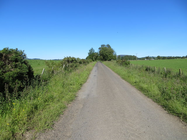
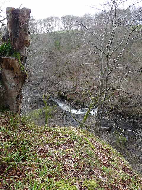
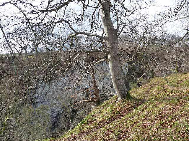
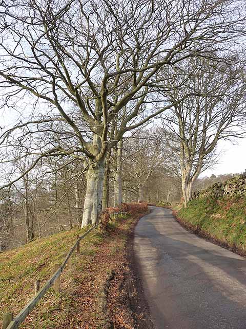
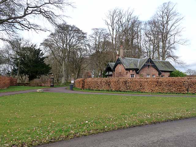
Airlie Castle Images

Images are sourced within 2km of 56.658/-3.15 or Grid Reference NO2952. Thanks to Geograph Open Source API. All images are credited.

Melgam Water Melgam Water from the bridge near Kinnaird.
Melgam Water
Melgam Water from the bridge near Kinnaird.
Field, Airlie Flat, but the ground falls away steeply on two sides of the field.
Field, Airlie
Flat, but the ground falls away steeply on two sides of the field.
Track, Airlie Heading for some very steep ground.
Track, Airlie
Heading for some very steep ground.
Track, Airlie The southern part of this track is used by farm traffic, later it turns into a grassy path.
Track, Airlie
The southern part of this track is used by farm traffic, later it turns into a grassy path.
Grass topped hill and triangulation pillar near to Bruceton Looking south-westward.
Grass topped hill and triangulation pillar near to Bruceton
Looking south-westward.
Track near the Den of Airlie Looking south-eastward.
Track near the Den of Airlie
Looking south-eastward.
Woodland above the River Isla at the Den of Airlie Looking westward.
Woodland above the River Isla at the Den of Airlie
Looking westward.
Track leading to East Campsie Farm Looking south-westward.
Track leading to East Campsie Farm
Looking south-westward.
Minor road approaching Kinnaird Looking westward.
Minor road approaching Kinnaird
Looking westward.
Minor road near to Dalbhraddan Looking westward.
Minor road near to Dalbhraddan
Looking westward.
Rapids on the River Isla Just upstream from Dillavaird Bridge, the River Isla flows through a most spectacular gorge.
Rapids on the River Isla
Just upstream from Dillavaird Bridge, the River Isla flows through a most spectacular gorge.
The Den of Airlie Just downstream from Airlie Castle, the River Isla flows through a most impressive, cliff-bound gorge.
The Den of Airlie
Just downstream from Airlie Castle, the River Isla flows through a most impressive, cliff-bound gorge.
Road beside the Den of Airlie Tree-lined road typical of the district. The ground drops precipitously to the left to the Den of Airlie, a gorge carved out by the River Isla.
Road beside the Den of Airlie
Tree-lined road typical of the district. The ground drops precipitously to the left to the Den of Airlie, a gorge carved out by the River Isla.
Lodge to Airlie Castle Airlie Castle is a late 18th century manor house built on the ruins of an earlier castle.
Lodge to Airlie Castle
Airlie Castle is a late 18th century manor house built on the ruins of an earlier castle.
Alpacas at Clintlaw Farm In a variety of colours.
Alpacas at Clintlaw Farm
In a variety of colours.
Ploughed field and Kinnaird Farm The hills on the horizon are on the far side of the Loch of Lintrathen.
Ploughed field and Kinnaird Farm
The hills on the horizon are on the far side of the Loch of Lintrathen.
Valley near Kirkton of Airlie
Valley near Kirkton of Airlie Line of pylons in the background, with Barns of Airlie <a href="https://www.geograph.org.uk/gridref/NO3151">NO3151</a>to the right.
Valley near Kirkton of Airlie
Line of pylons in the background, with Barns of Airlie NO3151to the right.
Show me another place!

Airlie Castle is located at Grid Ref: NO2952 (Lat: 56.658, Lng: -3.15)

Unitary Authority: Angus

What 3 Words

///kennels.connector.mindset. Near Alyth, Perth & Kinross

Nearby Locations

Airlie Castle

Related Wikis

Airlie Castle

Airlie Castle is a mansion house in the parish of Airlie, Angus, near the junction of the Isla and Melgund rivers, 9 kilometres west of Kirriemuir, Angus...
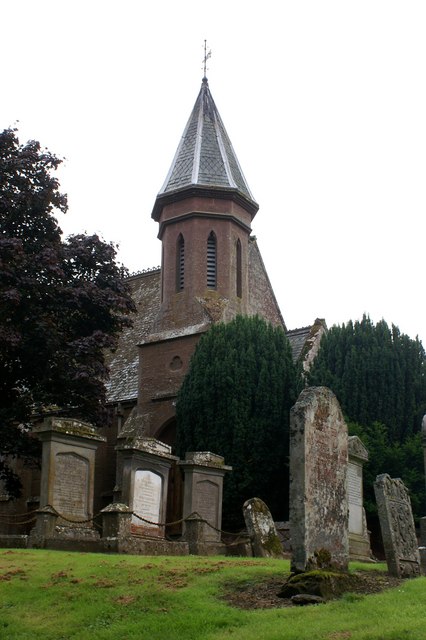
Airlie Parish Kirk

Airlie Parish Kirk is a church in Airlie, Angus. It was completed in 1783 and dedicated to St. Meddan. The interior was renovated in 1893. The church contains...

Airlie, Angus

Airlie (Scottish Gaelic: Iarlaidh) is a civil parish in the Scottish council area of Angus. It is the seat of the Earl of Airlie, and the location of...

Bridgend of Lintrathen

Bridgend of Lintrathen is a village in Angus, Scotland. It is situated on the southern shore of Loch of Lintrathen, six miles west of Kirriemuir. ��2...

Loch of Lintrathen

Loch of Lintrathen is a man-made loch occupying a glacial basin at the southern end of Glen Isla, approximately 13 kilometres (8.1 mi) west of town of...

Inverquiech Castle

Inverquiech Castle is a ruined 13th century castle near Inverquiech, Perth and Kinross, Scotland. == History == Built at the confluence of the Quiech Burn...

Ruthven, Angus

Ruthven ( RIV-ən) is a village in Angus, Scotland. It is two miles (3.2 km) north of Meigle, where the A926 road crosses the River Isla. == See also... ==

Bridge of Craigisla

Bridge of Craigisla is a hamlet in Angus, Scotland. The bridge crosses the River Isla. This settlement lies along the B954 road. == References ==

Nearby Amenities

Located within 500m of 56.658,-3.15
Melgambank
Place: isolated_dwelling
Lat/Long: 56.6609522/-3.1446451
East Campsie
Place: isolated_dwelling
Lat/Long: 56.6610199/-3.1505556
Power: pole
Lat/Long: 56.6622655/-3.1488226
Power: pole
Lat/Long: 56.6613924/-3.1485899
Power: pole
Lat/Long: 56.6607002/-3.1483784
Power: pole
Lat/Long: 56.6600802/-3.1476335
Power: pole
Lat/Long: 56.6594525/-3.1468744
Power: pole
Lat/Long: 56.6585225/-3.1457182
Power: pole
Lat/Long: 56.6580679/-3.1451424
Power: pole
Lat/Long: 56.6576455/-3.1457346
Power: pole
Lat/Long: 56.6572244/-3.1463175
Power: pole
Lat/Long: 56.6566096/-3.1471024
Power: pole
Lat/Long: 56.6559921/-3.1479178
Power: pole
Lat/Long: 56.6559585/-3.1494712
Power: pole
Lat/Long: 56.6559107/-3.1509329
Power: pole
Lat/Long: 56.6559301/-3.1526014
Power: pole
Lat/Long: 56.6582823/-3.1437418
Power: pole
Lat/Long: 56.6584825/-3.1422636
Power: pole
Lat/Long: 56.6610909/-3.1553364
Power: pole
Lat/Long: 56.6609998/-3.1538757
Power: pole
Lat/Long: 56.6609045/-3.1521501
Power: pole
Lat/Long: 56.660846/-3.1511103
Power: pole
Lat/Long: 56.6607889/-3.1500136
The data included in this document is from www.openstreetmap.org. The data is made available under ODbL.

Have you been to Airlie Castle?

Leave your review of Airlie Castle below (or comments, questions and feedback).