Airth Castle
Heritage Site in Stirlingshire
Scotland
Airth Castle
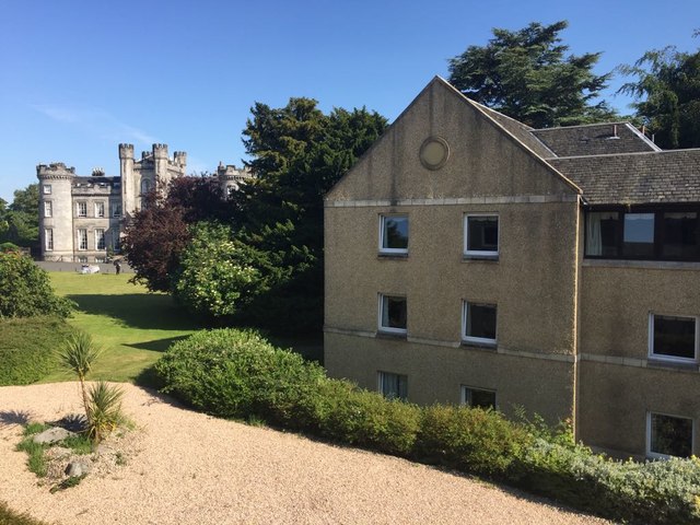
Airth Castle, located in Stirlingshire, Scotland, is a historic heritage site that dates back to the 14th century. Originally built as a tower house, it has undergone several expansions and renovations over the centuries, resulting in a magnificent castle that showcases a unique blend of architectural styles.
The castle is situated atop a hill, offering breathtaking panoramic views of the surrounding countryside. Its impressive exterior features a mix of medieval and baronial architectural elements, including turrets, battlements, and a grand entrance gate. The castle is surrounded by beautifully landscaped gardens and a picturesque park, adding to its charm.
Inside, Airth Castle boasts a wealth of historic features and elegant period furnishings. The Great Hall, with its high ceilings, ornate fireplace, and intricate woodwork, is a notable highlight. The castle also houses a collection of fine art and antique furniture, providing visitors with a glimpse into its rich history.
Airth Castle has played a significant role in Scotland's history, having been owned by various noble families throughout the centuries. It has witnessed numerous historical events and even hosted notable figures such as Mary, Queen of Scots.
Today, Airth Castle serves as a luxurious hotel and event venue, offering guests a unique opportunity to experience the grandeur of a medieval castle while enjoying modern amenities. The castle's stunning architecture, combined with its idyllic setting, makes it a popular choice for weddings, conferences, and other special occasions.
Whether exploring its historic interiors, strolling through the gardens, or simply admiring its exterior beauty, Airth Castle is a must-visit destination for history enthusiasts and those seeking a memorable experience in the heart of Scotland.
If you have any feedback on the listing, please let us know in the comments section below.
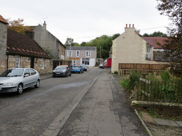
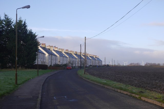
Airth Castle Images
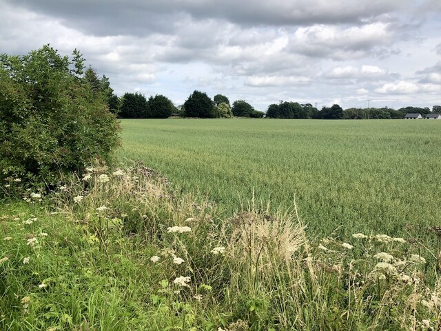
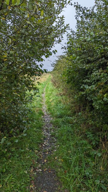
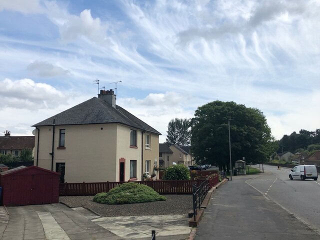
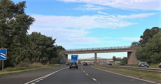
Images are sourced within 2km of 56.058/-3.775 or Grid Reference NS8986. Thanks to Geograph Open Source API. All images are credited.

Airth Castle is located at Grid Ref: NS8986 (Lat: 56.058, Lng: -3.775)
Unitary Authority: Falkirk
What 3 Words
///comment.paints.ambushed. Near Airth, Falkirk
Nearby Locations
Related Wikis
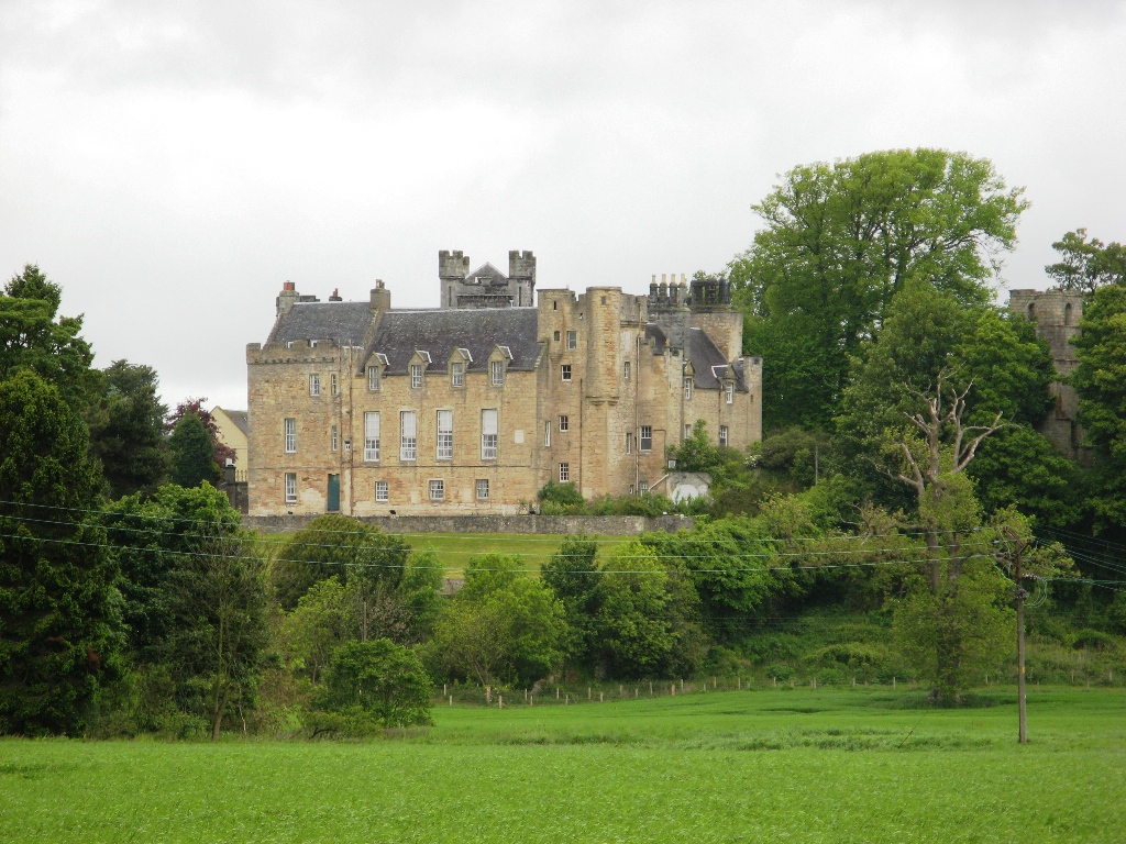
Airth Castle
Airth Castle is a castle overlooking the village of Airth and the River Forth, in the Falkirk area of Scotland. Until 2023, the castle operated as a hotel...

Airth Old Parish Church
Airth Old Parish Church is a ruined church which stands within the grounds of Airth Castle at Airth, in the Falkirk council area in Scotland. The building...

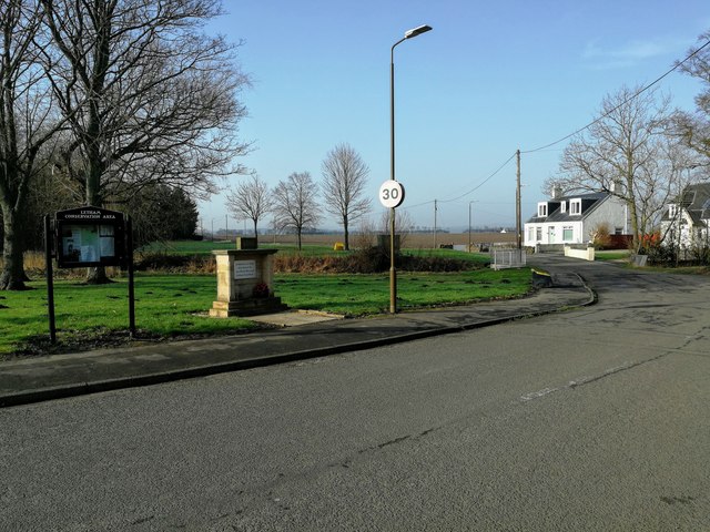
Letham, Falkirk
Letham (Scottish Gaelic: Leathann) is a small former mining village in Falkirk district, Scotland. It is located less than 2 miles from the town of Airth...
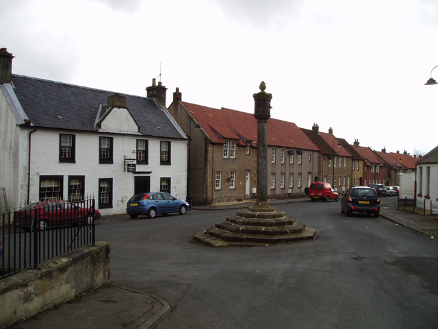
Airth
Airth (Scottish Gaelic: An Àird) is a Royal Burgh, village, former trading port and civil parish in Falkirk, Scotland. It is 6 miles (10 kilometres) north...

Central Region, Scotland
Central region (Roinn Meadhanach in Gaelic) was a local government region from 1975 to 1996, being one of twelve such regions across Scotland. The Regional...
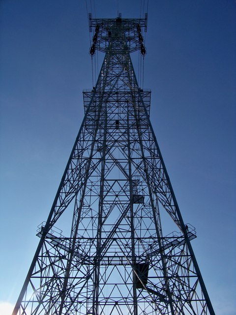
275 kV Forth Crossing
The 275 kV Forth Crossing has the tallest electricity towers (pylons )in Scotland. They stand next to the Clackmannanshire Bridge and the Kincardine Bridge...

Dunmore Pineapple
The Dunmore Pineapple is a folly in Dunmore Park, near Airth in Stirlingshire, Scotland. In 1995 it was ranked "as the most bizarre building in Scotland...

Firth of Forth
The Firth of Forth (Scottish Gaelic: Linne Foirthe) is the estuary, or firth, of several Scottish rivers including the River Forth. It meets the North...
Nearby Amenities
Located within 500m of 56.058,-3.775Have you been to Airth Castle?
Leave your review of Airth Castle below (or comments, questions and feedback).