Barr Hill

Hill, Mountain in Ayrshire

Scotland

Barr Hill

Minor road south of the B778 Bordered by hawthorn hedgerows this single-track road is seen here looking north towards the crossroads where it meets the B778.
Minor road south of the B778 Credit: Alec MacKinnon

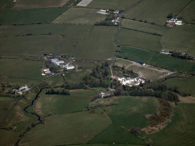
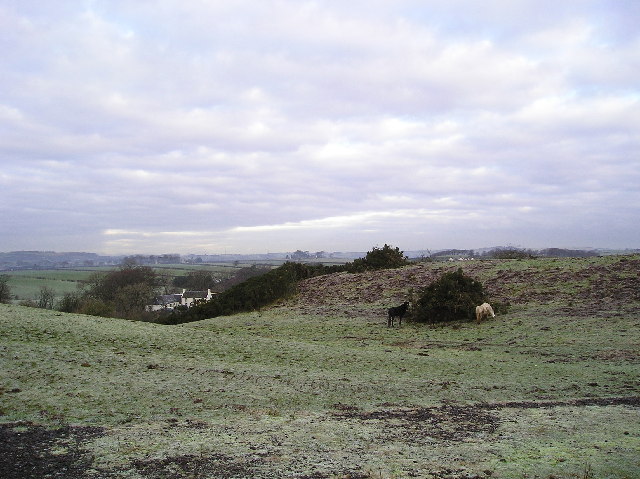
Barr Hill is a prominent hill located in Ayrshire, a region in southwest Scotland. Standing at an elevation of approximately 283 meters (928 feet), it is classified as a hill rather than a mountain. Barr Hill is situated near the village of Barr, about 10 kilometers (6 miles) southeast of Girvan.

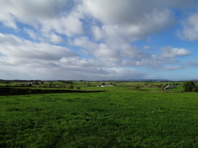
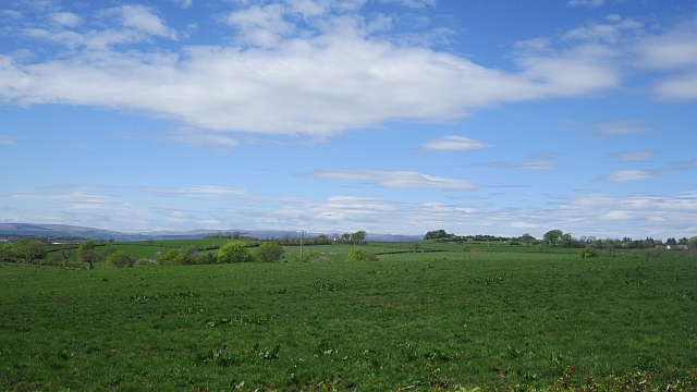
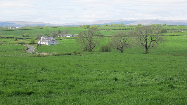
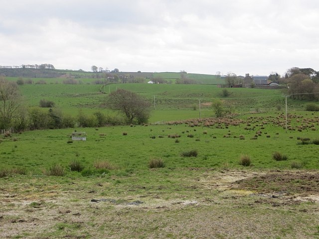
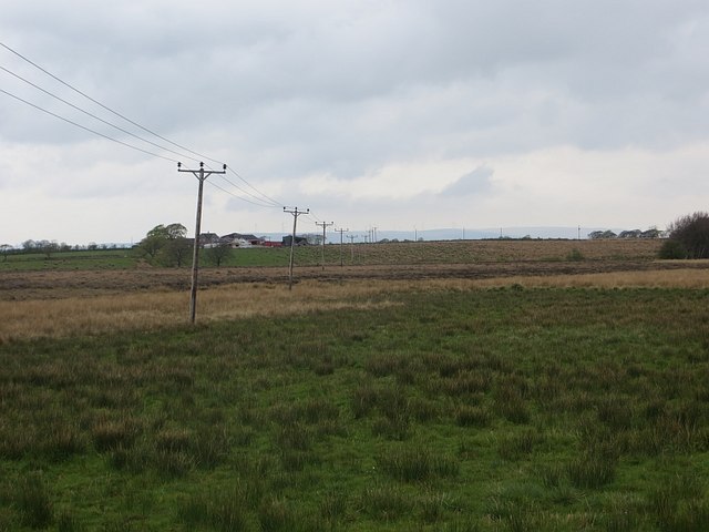
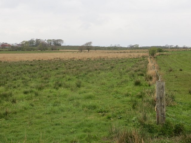
The hill offers stunning panoramic views of the surrounding countryside, including the rolling fields, farmland, and the nearby Firth of Clyde. On clear days, visitors can even catch a glimpse of the Ailsa Craig, an iconic island situated in the Firth.

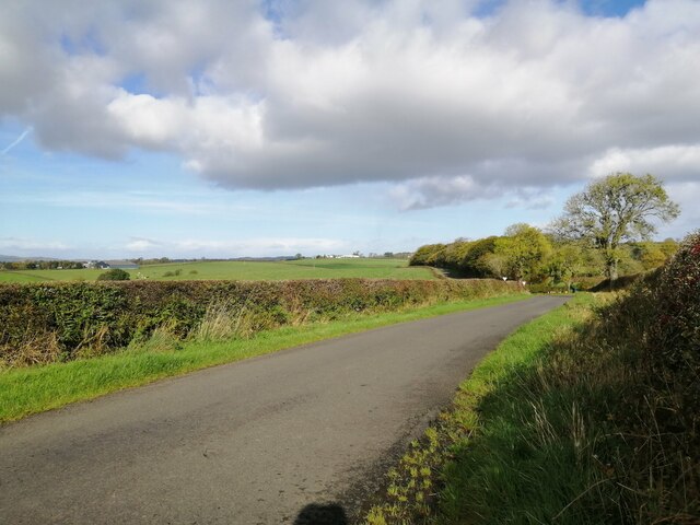
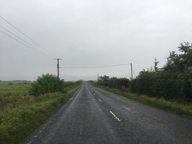
Barr Hill is a popular destination for outdoor enthusiasts, hikers, and walkers who are looking to explore the natural beauty of Ayrshire. There are several well-marked trails leading to the summit, making it accessible for people of various fitness levels. The paths are surrounded by lush greenery, heather, and wildflowers, creating a picturesque setting throughout the seasons.

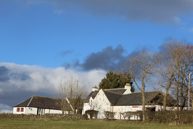
At the top of Barr Hill, there are the remains of an ancient fort known as Barr Castle. This historic site adds an extra layer of intrigue and fascination to the hill, attracting history enthusiasts and curious explorers. The fort dates back to the Iron Age and offers a glimpse into the region's rich past.

Overall, Barr Hill in Ayrshire is a captivating destination that offers breathtaking views, opportunities for outdoor activities, and a touch of history. Whether it's for a leisurely stroll or a more challenging hike, this hill provides a memorable experience for all who visit.

If you have any feedback on the listing, please let us know in the comments section below.

Barr Hill Images

Images are sourced within 2km of 55.703367/-4.5669838 or Grid Reference NS3848. Thanks to Geograph Open Source API. All images are credited.

Minor road south of the B778 Bordered by hawthorn hedgerows this single-track road is seen here looking north towards the crossroads where it meets the B778.
Minor road south of the B778
Bordered by hawthorn hedgerows this single-track road is seen here looking north towards the crossroads where it meets the B778.
Farmland near Bloakholmes The picture looks west across grasslands towards the farm at Bloakholmes.
Farmland near Bloakholmes
The picture looks west across grasslands towards the farm at Bloakholmes.
Lochlibo Road from the air The A736 Lochlibo Road between Burnhouse and Auchentiber. The Aviagen poultry farm is in the foreground.
Lochlibo Road from the air
The A736 Lochlibo Road between Burnhouse and Auchentiber. The Aviagen poultry farm is in the foreground.
The Glazet Burn from the air Between Auchentiber and Dunlop
The Glazet Burn from the air
Between Auchentiber and Dunlop
Aiket Castle from the air The Category C Listed <span class="nowrap"><a title="http://portal.historicenvironment.scot/designation/LB50079" rel="nofollow ugc noopener" href="http://portal.historicenvironment.scot/designation/LB50079">Link</a><img style="margin-left:2px;" alt="External link" title="External link - shift click to open in new window" src="https://s1.geograph.org.uk/img/external.png" width="10" height="10"/></span> formerly ruined castle near Dunlop was rebuilt in the late 1970s by the late Robert Clow of the well known Glasgow bookshop chain John Smith & Son.
Aiket Castle from the air
The Category C Listed LinkExternal link formerly ruined castle near Dunlop was rebuilt in the late 1970s by the late Robert Clow of the well known Glasgow bookshop chain John Smith & Son.
A736 towards Glasgow
Main Street and church in Dunlop
Righead Plantation The plantation is now just a thin strip wood.
Righead Plantation
The plantation is now just a thin strip wood.
One flew over it A young woodland at Gowknest.
One flew over it
A young woodland at Gowknest.
Gowknest A minor road passes a young woodland. No noise from the gowks, they must be nesting!
Gowknest
A minor road passes a young woodland. No noise from the gowks, they must be nesting!
Pasture, Gunshill Ayrshire's legendary grassland.
Pasture, Gunshill
Ayrshire's legendary grassland.
Green field Bloakhillhead: after a slow start, the grass is growing now.
Green field
Bloakhillhead: after a slow start, the grass is growing now.
Fields, Deepstone Poor drainage is a problem in this area.
Fields, Deepstone
Poor drainage is a problem in this area.
Sidehead Moss Wet pasture off the A736.
Sidehead Moss
Wet pasture off the A736.
Sidehead Moss Grassland merging into bog.
Sidehead Moss
Grassland merging into bog.
Nether Oldhall
Nether Oldhall
The Kirk Dunlop Kirk, I took the photograph from the southwest viewed by two inquisitive horses.
The Kirk
Dunlop Kirk, I took the photograph from the southwest viewed by two inquisitive horses.
Horses Horses grazing on a pile of old gorse bushes recently cleared from the area of hillside just behind the pile. Over Borland farm in Sq. NS3949 can also be seen in the picture.
Horses
Horses grazing on a pile of old gorse bushes recently cleared from the area of hillside just behind the pile. Over Borland farm in Sq. NS3949 can also be seen in the picture.
Show me another place!

Barr Hill is located at Grid Ref: NS3848 (Lat: 55.703367, Lng: -4.5669838)

Unitary Authority: East Ayrshire

Police Authority: Ayrshire

What 3 Words

///inner.employ.truckload. Near Dunlop, East Ayrshire

Related Wikis

Barony of Aiket

The Barony of Aiket with its castle, lay within the old feudal bailiary of Cunninghame. The barony lands equate to the extant Parish of Dunlop, East Ayrshire...
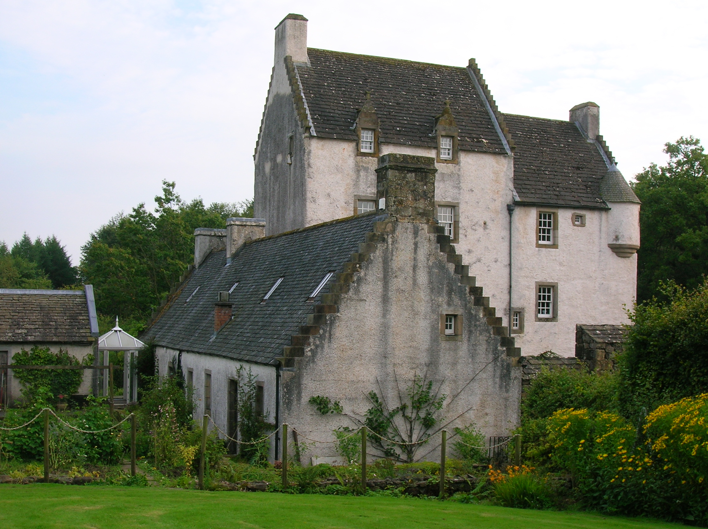
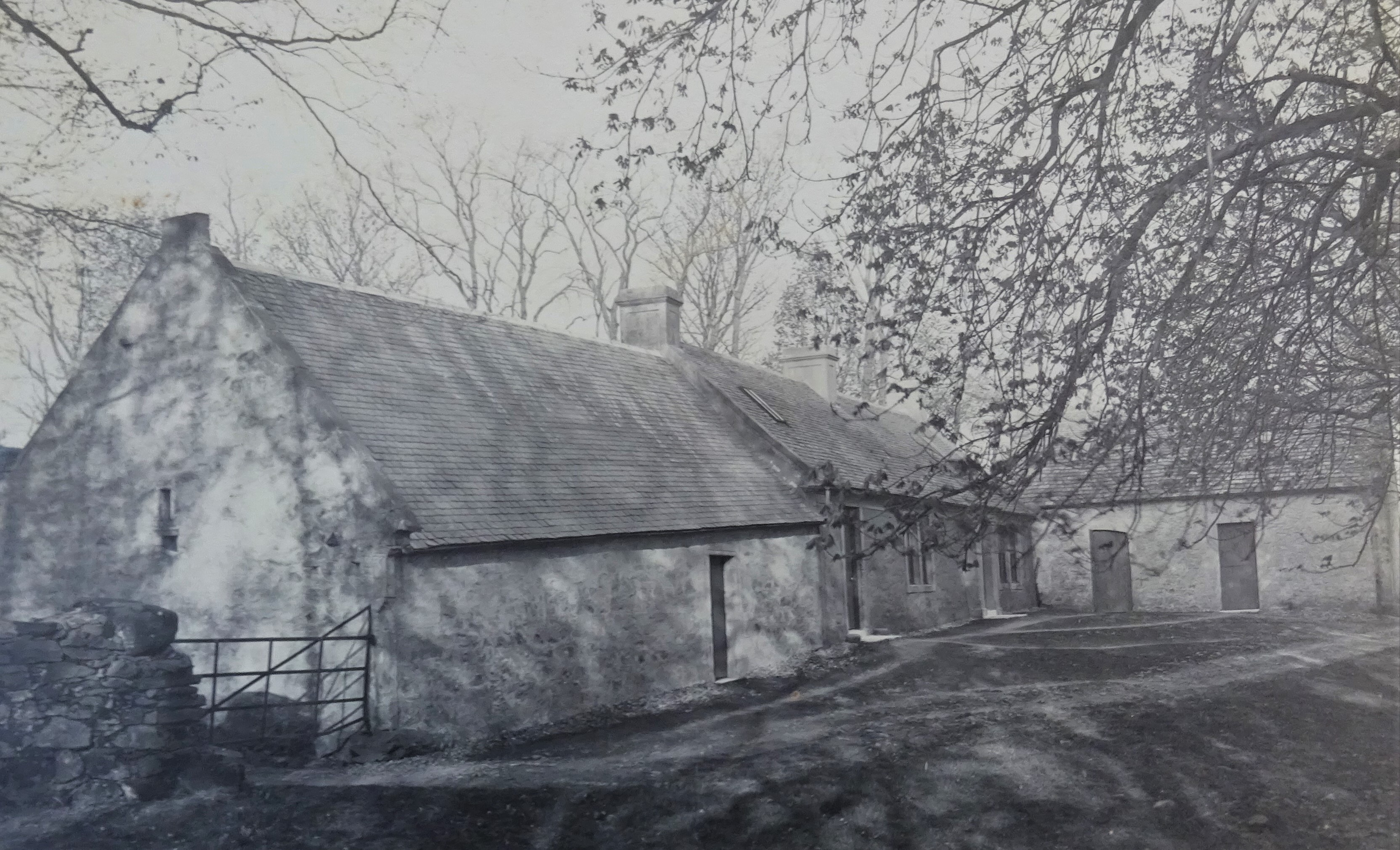
Lands of Borland

The Lands of Borland formed an estate lying between Aiket Castle and the town of Dunlop, East Ayrshire, Parish of Dunlop, Scotland. The laird's house at...

Lands of Templehouse

The Lands of Templehouse formed a small estate lying between Aiket Castle and the town of Dunlop, East Ayrshire, Parish of Dunlop, Scotland. The laird...

Dunlop Hill

Dunlop hill is a hill in Dunlop, East Ayrshire which is believed to have once held a Celtic fortress. Unknown in age, it is probably a few thousand years...

Nearby Amenities

Located within 500m of 55.703367,-4.5669838
Power: pole
Lat/Long: 55.7003453/-4.5706245
Power: pole
Lat/Long: 55.7008745/-4.5694663
Power: pole
Lat/Long: 55.7013931/-4.5683311
Power: pole
Lat/Long: 55.701974/-4.5670706
Power: pole
Lat/Long: 55.7025549/-4.5658164
Power: pole
Lat/Long: 55.7031229/-4.5645873
Power: pole
Lat/Long: 55.7037155/-4.5632934
Power: pole
Lat/Long: 55.704327/-4.5619641
Power: pole
Lat/Long: 55.7048996/-4.5607308
Power: pole
Lat/Long: 55.7018529/-4.5688736
Power: pole
Lat/Long: 55.702569/-4.5697752
Power: pole
Lat/Long: 55.7031182/-4.570468
Power: pole
Lat/Long: 55.7036767/-4.5711566
Power: pole
Lat/Long: 55.704481/-4.5709813
Power: pole
Lat/Long: 55.705277/-4.570804
Power: pole
Lat/Long: 55.7057674/-4.5702969
Power: pole
Lat/Long: 55.7061801/-4.5698816
Power: pole
Lat/Long: 55.7065646/-4.5694851
Power: pole
Lat/Long: 55.7044822/-4.5596581
Power: pole
Lat/Long: 55.7046938/-4.5601652
Power: pole
Lat/Long: 55.7051889/-4.5611481
Power: pole
Lat/Long: 55.7054828/-4.561553
Power: pole
Lat/Long: 55.705758/-4.5619557
Power: pole
Lat/Long: 55.7061166/-4.5624775
Power: pole
Lat/Long: 55.7065457/-4.5631056
Power: pole
Lat/Long: 55.7068432/-4.5635793
The data included in this document is from www.openstreetmap.org. The data is made available under ODbL.

Have you been to Barr Hill?

Leave your review of Barr Hill below (or comments, questions and feedback).