Aiggin Stone
Heritage Site in Lancashire / Yorkshire
England
Aiggin Stone
Aiggin Stone is a historic heritage site located on the border of the counties of Lancashire and Yorkshire in the United Kingdom. Situated near the town of Todmorden, this ancient stone monument holds great historical and cultural significance.
The Aiggin Stone is a large standing stone, approximately 2.5 meters in height, believed to date back to prehistoric times. Its origins and purpose remain shrouded in mystery, adding to its allure and intrigue. The stone is composed of millstone grit, a type of sandstone commonly found in the region.
Over the centuries, the Aiggin Stone has gained various folklore and legends. Local folklore suggests that it was used as a place for ancient pagan rituals, such as fertility rites and ceremonies related to the changing seasons. The stone's distinctive shape has also led to beliefs that it was once a boundary marker or a place for ancient astronomical observations.
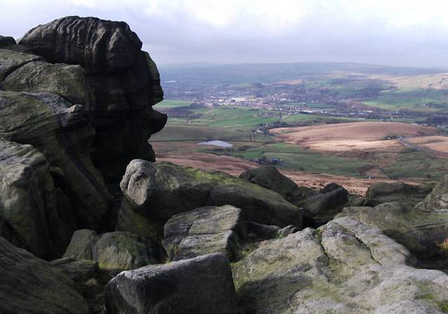
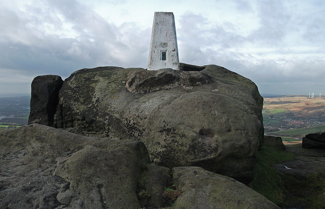
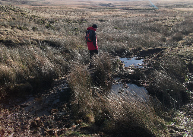
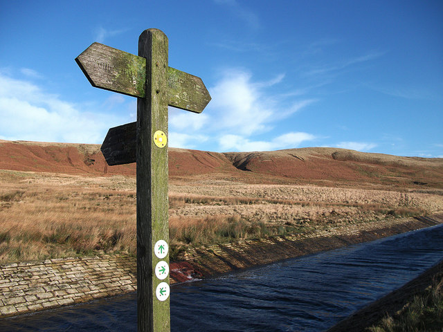
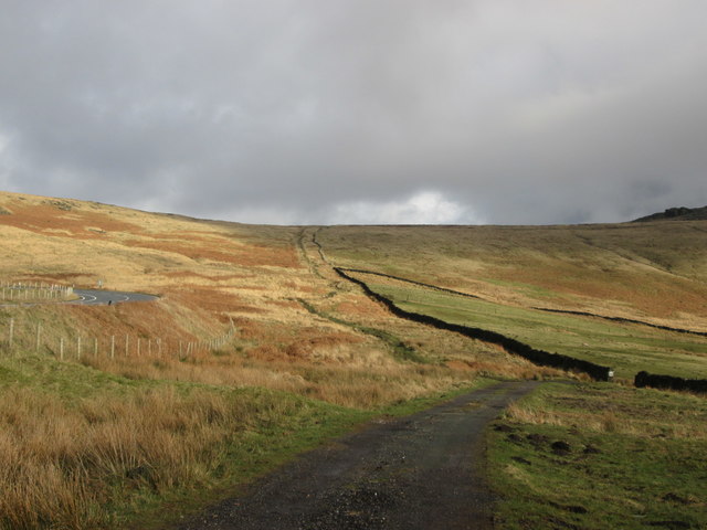
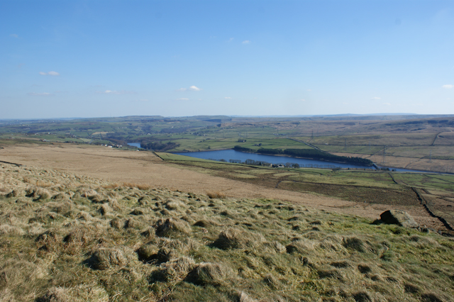
Today, the Aiggin Stone attracts visitors from all over who are fascinated by its enigmatic history and captivating surroundings. The site offers stunning panoramic views of the surrounding countryside, including the rolling hills and valleys of both Lancashire and Yorkshire. It also serves as a popular destination for hikers and nature enthusiasts, with several scenic walking trails starting from the stone.
Although there are no visitor facilities at the site, the Aiggin Stone is easily accessible by foot or car, with nearby parking available. It stands as a testament to the ancient heritage of the area and provides a unique glimpse into the mysteries of the past.
If you have any feedback on the listing, please let us know in the comments section below.
Aiggin Stone Images
Images are sourced within 2km of 53.653/-2.038 or Grid Reference SD9717. Thanks to Geograph Open Source API. All images are credited.


Aiggin Stone is located at Grid Ref: SD9717 (Lat: 53.653, Lng: -2.038)
Division: West Riding
What 3 Words
///perkily.tycoons.gobblers. Near Littleborough, Manchester
Nearby Locations
Related Wikis

Blackstone Edge Reservoir
Blackstone Edge Reservoir is a reservoir in the Metropolitan Borough of Rochdale, Greater Manchester, England. It is close to Blackstone Edge, from which...

Blackstone Edge
Blackstone Edge ( BLAK-stən) is a gritstone escarpment at 472 metres (1,549 ft) above sea level in the Pennine hills surrounded by moorland on the boundary...

Calderbrook
Calderbrook ( KAWL-dər-bruuk) is a village within the Metropolitan Borough of Rochdale, in Greater Manchester, England. It was originally part of the township...

Greenvale Brook
Greenvale Brook is a watercourse in Greater Manchester and a tributary of the River Roch. == Tributaries == Lydgate Brook Castle Brook Red Brook Lead Mine...
Baitings Reservoir
Baitings Reservoir is a large water supply reservoir operated by Yorkshire Water close to Ripponden in the West Yorkshire Pennines, England. It lies in...
Shore Lane Brook
Shore Lane Brook is a water course in Greater Manchester and a tributary of Ealees Brook in Littleborough.

Hollingworth Brook
Hollingworth Brook is a water course in Greater Manchester which originates at Hollingworth Lake and flows through the Ealees Valley where it merges with...
Town House Brook
Town House Brook is a watercourse in Greater Manchester and a tributary of the River Roch. == Tributaries == Long Clough Brook Turn Slack Brook Blue Pot...
Nearby Amenities
Located within 500m of 53.653,-2.038Have you been to Aiggin Stone?
Leave your review of Aiggin Stone below (or comments, questions and feedback).