Afon Wyre
Heritage Site in Cardiganshire
Wales
Afon Wyre
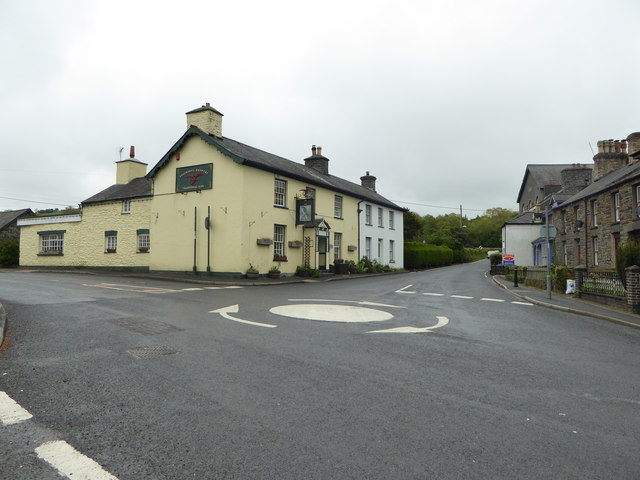
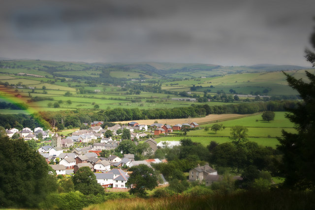
Afon Wyre, located in Cardiganshire, Wales, is a historical heritage site that holds significant cultural and historical importance. The site is named after the river Wyre, which flows through the region and adds to its natural beauty. Afon Wyre is situated amidst picturesque landscapes, with rolling hills, lush greenery, and breathtaking views.
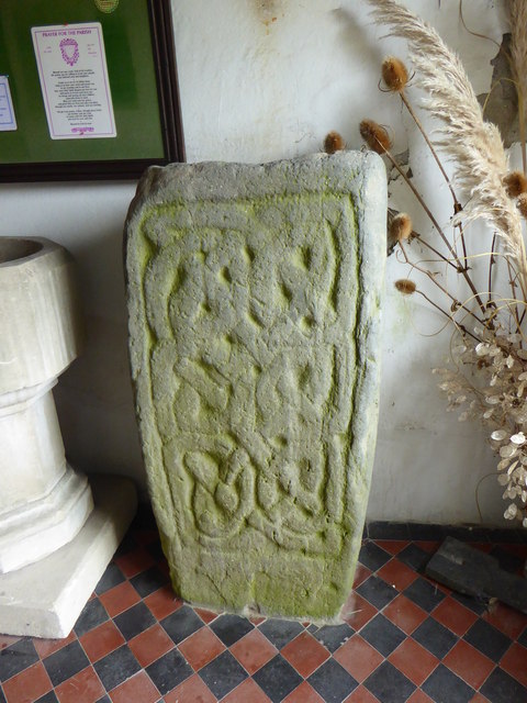
This heritage site is known for its rich history, dating back centuries. It was once a thriving hub of industry, with various mills and factories operating along the river, contributing to the local economy. The remnants of these industrial structures can still be seen today, adding an intriguing element to the site.
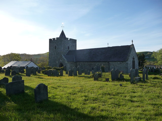
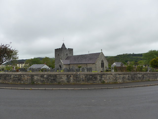
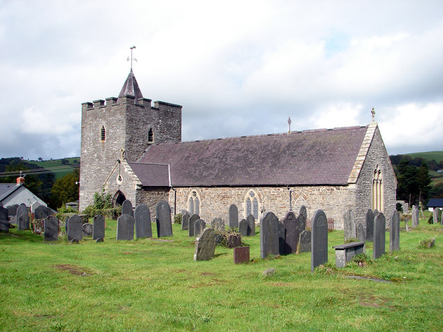
In addition to its industrial heritage, Afon Wyre is home to several historical landmarks. One such landmark is a medieval castle, which was built in the 12th century and played a significant role in the region's defense during various conflicts. The castle's ruins stand tall, providing a glimpse into the past and attracting history enthusiasts from far and wide.
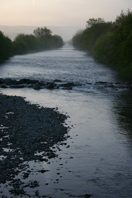
The river Wyre itself is a key feature of the heritage site. It not only offers stunning scenery but also provides opportunities for outdoor activities such as fishing, boating, and hiking. The river is teeming with wildlife, including various species of fish and birds, making it a haven for nature lovers.
Afon Wyre, Cardiganshire, is a captivating heritage site that seamlessly combines natural beauty with a rich history. Its industrial past, medieval castle, and the river Wyre itself make it a must-visit destination for those seeking a glimpse into Wales' cultural and historical heritage.
If you have any feedback on the listing, please let us know in the comments section below.
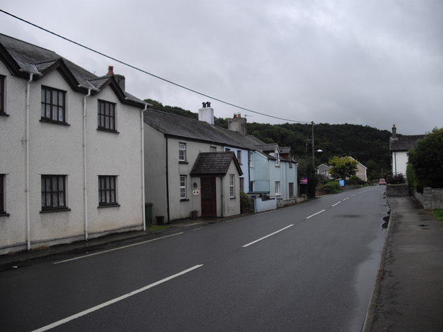
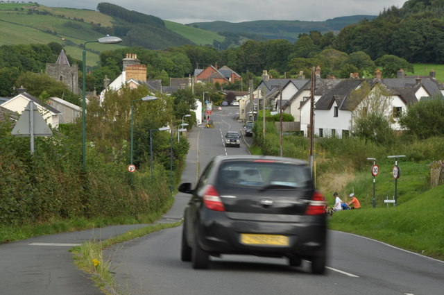
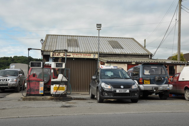
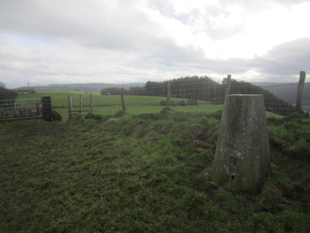
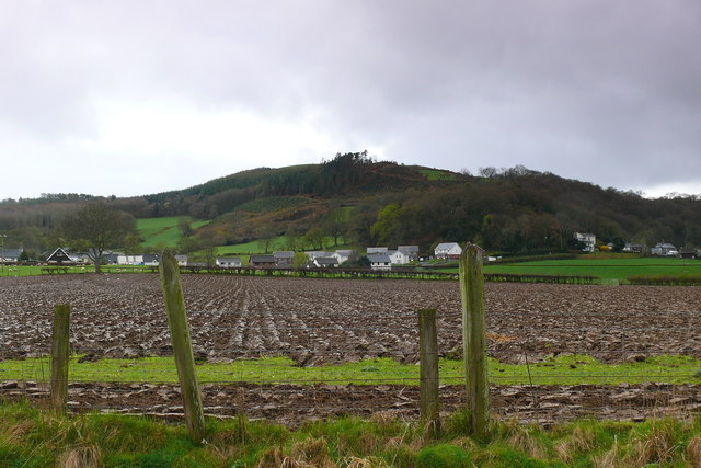
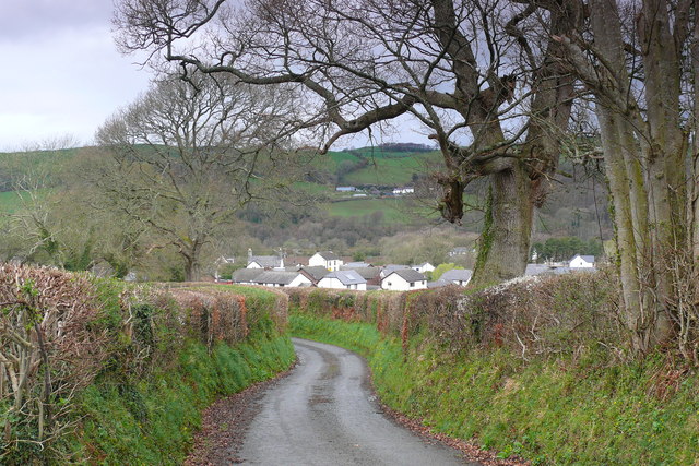
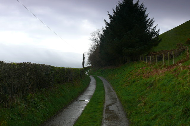
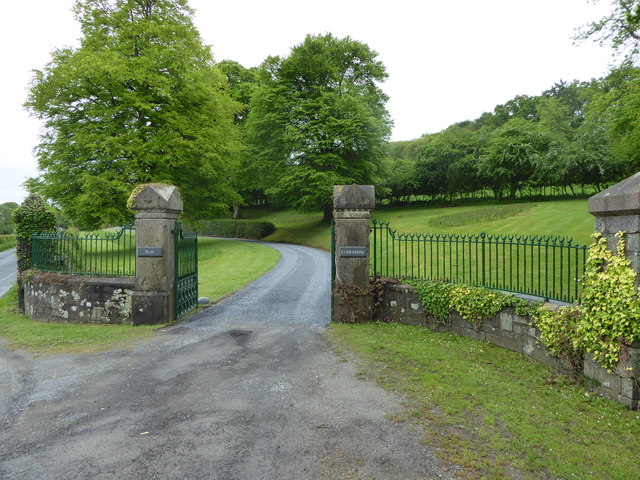
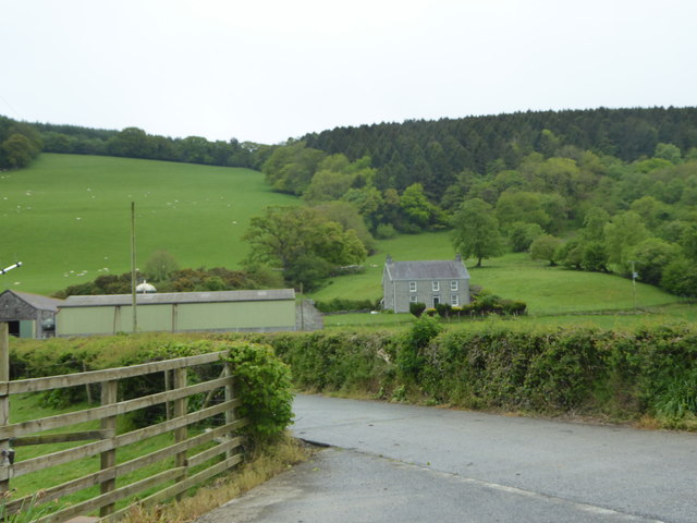
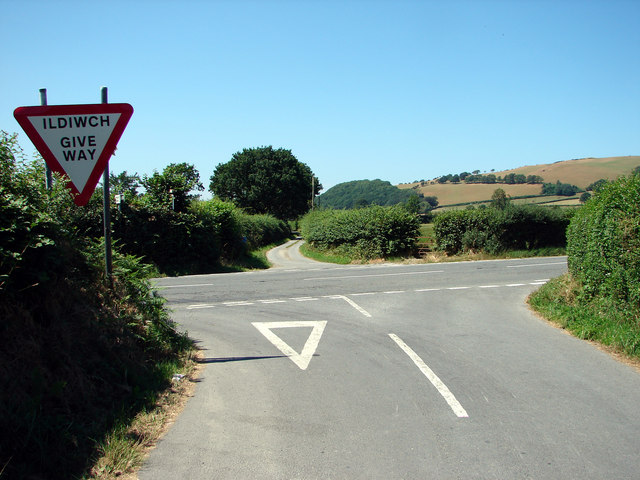
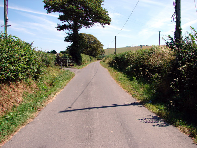
Afon Wyre Images
Images are sourced within 2km of 52.352/-4.003 or Grid Reference SN6374. Thanks to Geograph Open Source API. All images are credited.
Afon Wyre is located at Grid Ref: SN6374 (Lat: 52.352, Lng: -4.003)
Unitary Authority: Ceredigion
Police Authority: Dyfed Powys
What 3 Words
///caring.steadier.causes. Near Llanilar, Ceredigion
Nearby Locations
Related Wikis

Coed y Crychydd
Coed y Crychydd is a Site of Special Scientific Interest in Ceredigion, west Wales. It is a moderately steep, north facing wood, featuring mainly ancient...
Llanilar
Llanilar is a village and community in Ceredigion, Wales, about 4 kilometres (2.5 mi) southeast of Aberystwyth. It is the eponym of the hundred of Ilar...
Castle Hill, Ceredigion
Castle Hill is an area and country estate in the community of Llanilar, Ceredigion, Wales, which is 70.2 miles (112.9 km) from Cardiff and 175.8 miles...

Llanilar railway station
Llanilar railway station was on the Carmarthen to Aberystwyth Line (originally called the Manchester and Milford Railway before being transferred to the...
Felindyffryn Halt railway station
Felindyffryn Halt was located on the Carmarthen to Aberystwyth Line, originally called the Manchester and Milford Railway, before being transferred to...
Rhos-y-garth
Rhos-y-garth is a hamlet in the community of Llanilar, Ceredigion, Wales, which is 68.7 miles (110.6 km) from Cardiff and 174.7 miles (281.1 km) from...

Ystwyth Trail
The Ystwyth Trail is a 21-mile (34 km) multi-use rail trail linking Aberystwyth, Llanfarian, Ystrad Meurig and Tregaron in Ceredigion, Wales. Cycling and...
Gaer Fawr, Llanilar
Gaer Fawr is an Iron Age hill fort located near Llanilar, Ceredigion, Wales; the Ordnance Survey grid reference is SN648718. The fort is registered with...
Related Videos

Yansa - Time Marches On
Track 3 ... Time Marches On from the "Swimming With Whales" album. Time Marches On from the "Swimming With Whales" album.
Nearby Amenities
Located within 500m of 52.352,-4.003Have you been to Afon Wyre?
Leave your review of Afon Wyre below (or comments, questions and feedback).