A' Chrìon Làraich
Settlement in Perthshire
Scotland
A' Chrìon Làraich
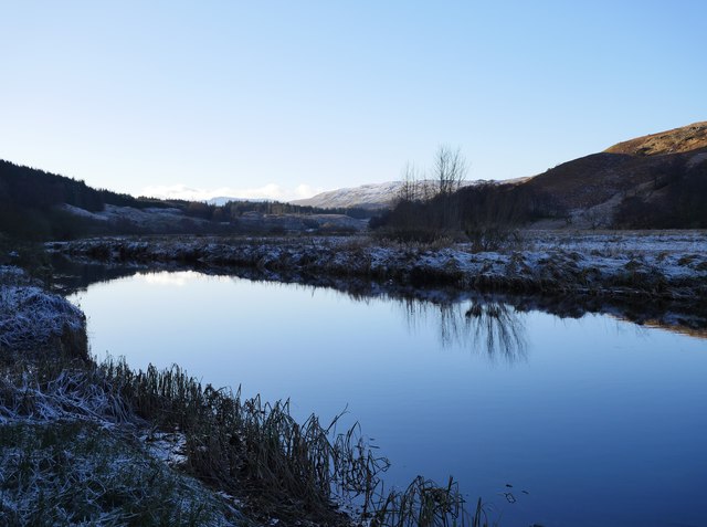
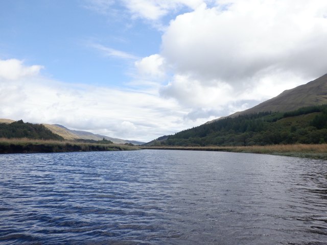
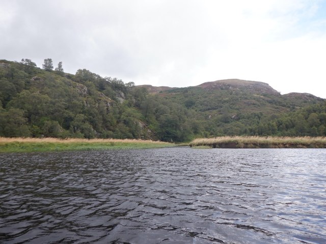
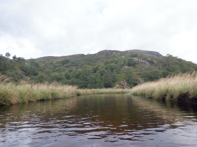
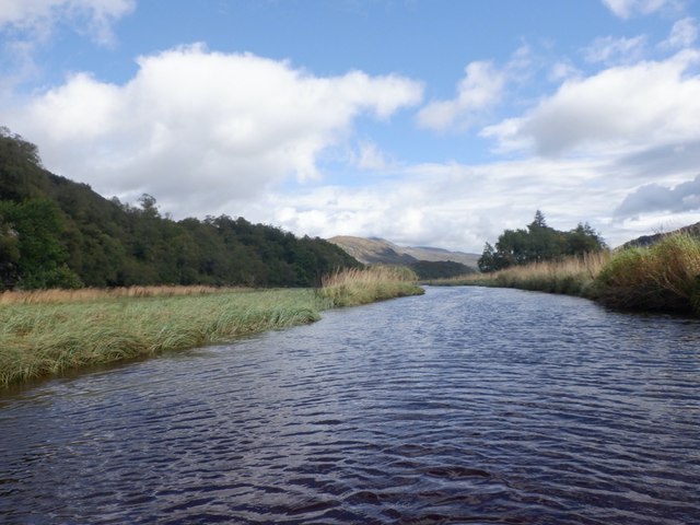
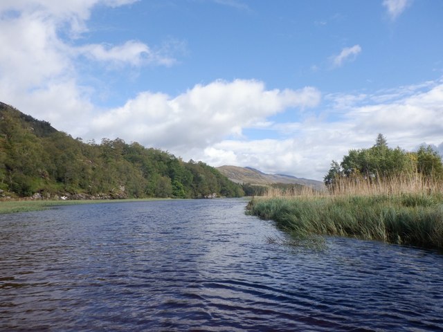
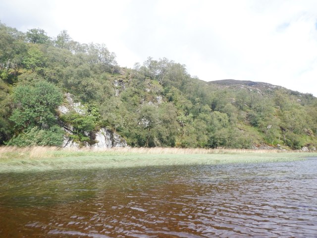
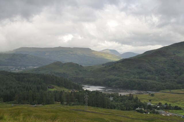
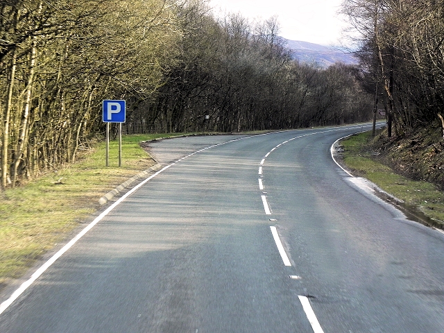
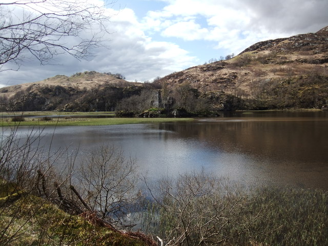
A' Chrìon Làraich is a small village located in the picturesque county of Perthshire in Scotland. It is nestled amidst the stunning scenery of the Scottish Highlands, making it a popular destination for nature enthusiasts and hikers. The village is situated on the banks of the River Tummel, offering breathtaking views of the surrounding mountains and forests.
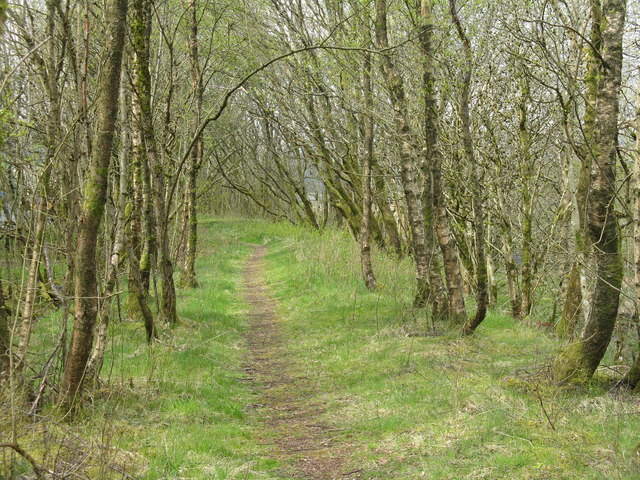
The main attraction of A' Chrìon Làraich is its natural beauty and tranquility. Visitors can explore the nearby woodlands, where they can spot a variety of flora and fauna, including red squirrels, deer, and a wide range of bird species. The area is also known for its abundance of wildflowers, creating a colorful and vibrant landscape during the spring and summer months.
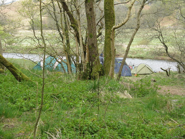
In addition to its natural wonders, A' Chrìon Làraich is home to a few charming cottages and a small local pub, where visitors can relax and enjoy traditional Scottish hospitality. The village is also a starting point for many outdoor activities, such as hiking, fishing, and kayaking, as it is located close to numerous trails, rivers, and lochs.
Although A' Chrìon Làraich may be small in size, it offers a perfect escape from the hustle and bustle of city life. Its untouched beauty and peaceful atmosphere make it an ideal destination for those seeking a tranquil retreat in the heart of Scotland's stunning countryside.
If you have any feedback on the listing, please let us know in the comments section below.
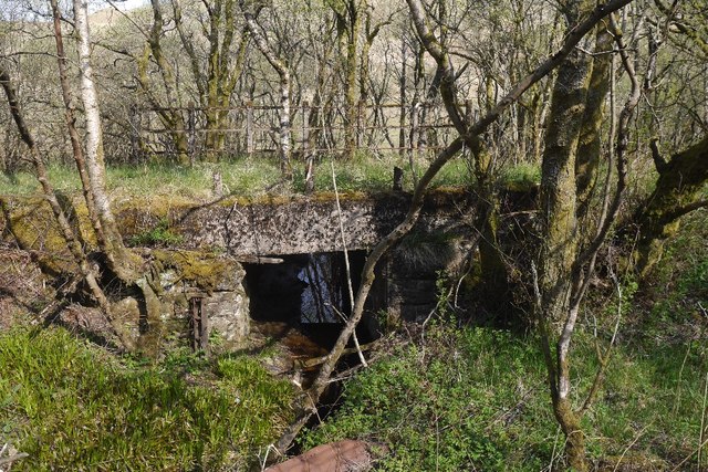
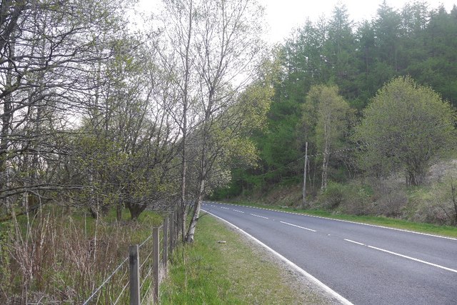
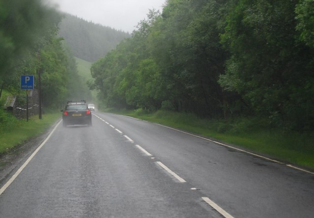
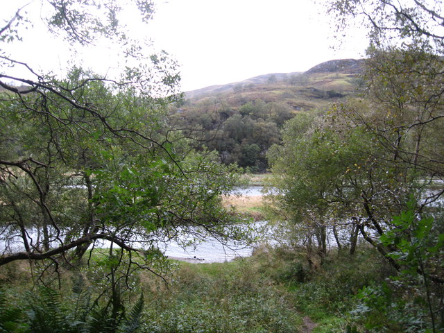
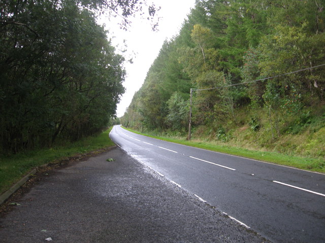
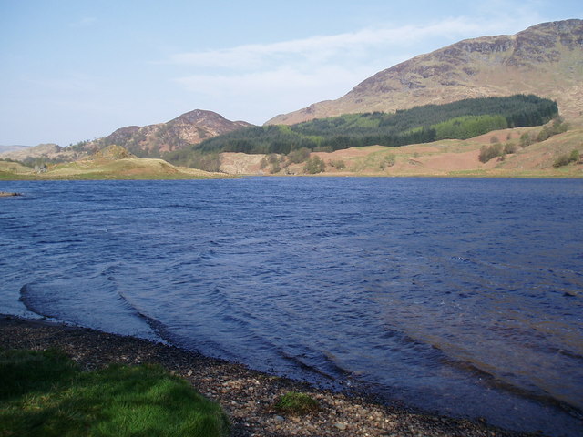
A' Chrìon Làraich Images
Images are sourced within 2km of 56.39264/-4.6159084 or Grid Reference NN3825. Thanks to Geograph Open Source API. All images are credited.
A' Chrìon Làraich is located at Grid Ref: NN3825 (Lat: 56.39264, Lng: -4.6159084)
Unitary Authority: Stirling
Police Authority: Forth Valley
Also known as: Crianlarich
What 3 Words
///starring.shields.lightbulb. Near Tyndrum, Stirling
Nearby Locations
Related Wikis

Crianlarich Lower railway station
Crianlarich Lower was a railway station located in Crianlarich, Stirling. == History == This station was opened on 1 August 1873 by the Callander and Oban...

Crianlarich
Crianlarich ( ; Scottish Gaelic: A' Chrìon Làraich) is a village in Stirling council area and in the registration county of Perthshire, Scotland, around...
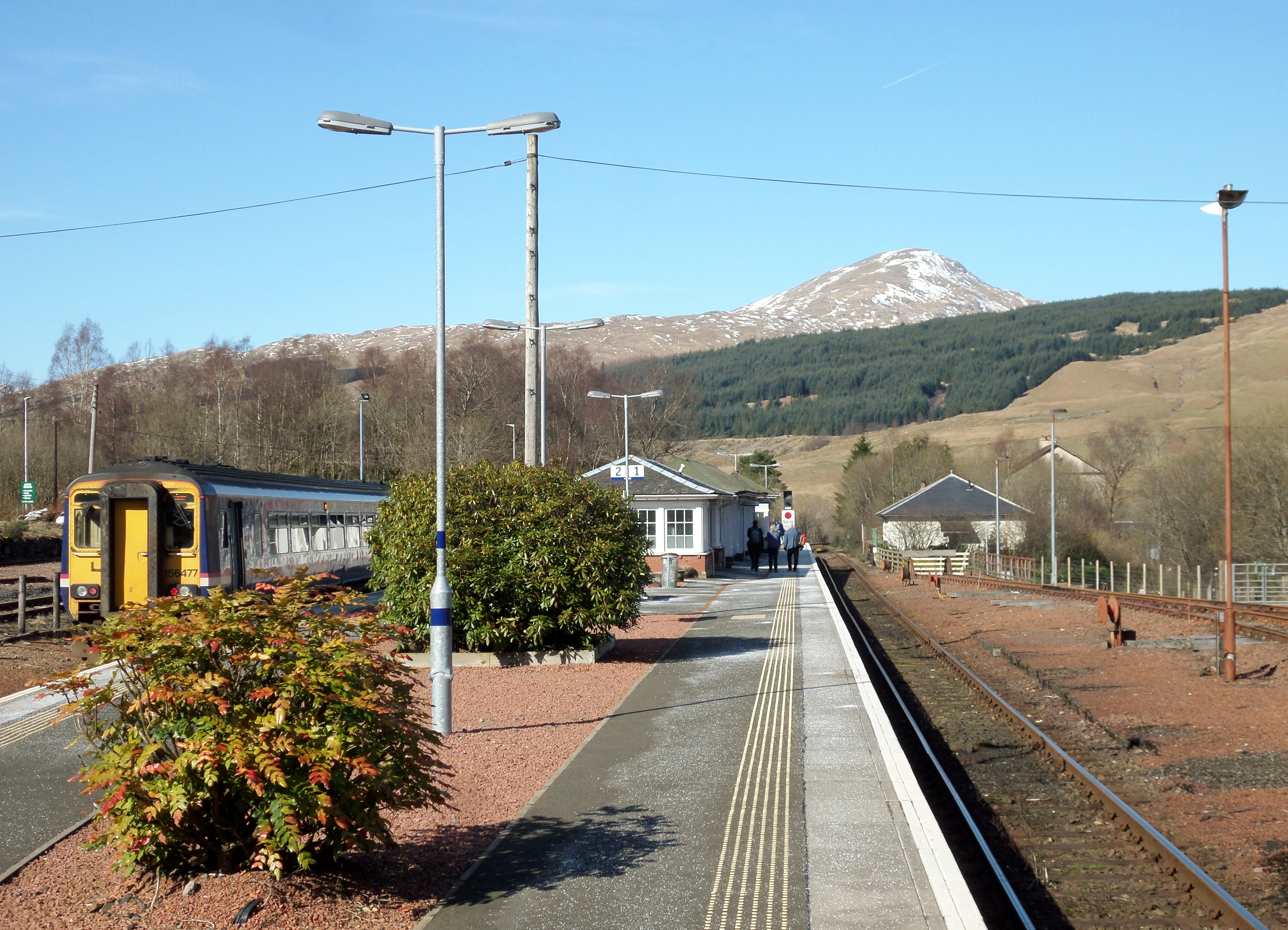
Crianlarich railway station
Crianlarich railway station is a railway station serving the village of Crianlarich in Scotland. It is located on the West Highland Line, sited 41 miles...

Loch Dochart
Loch Dochart is a small freshwater loch on the Lochdochart Estate in Stirling, Scottish Highlands. It lies approximately 1.7 km (1.1 mi) to the east of...
Strath Fillan
Strath Fillan (Scottish Gaelic: Na Sraithibh) is a strath in west Perthshire named after an 8th-century Irish hermit monk later canonised Saint Fillan...
Stob Garbh
Stob Garbh is a mountain in the Scottish Highlands. It is a Munro top located in the Breadalbane area of Loch Lomond and the Trossachs National Park.

Loch Essan
Loch Essan is a freshwater trout loch, located 2 miles north of Loch Dochart, within the Stirling Council Area, Scotland. == Settlements == On the mid...

Loch Iubhair
Loch Iubhair pronounced yoo-ar meaning yew loch, is a freshwater loch, located in Glen Dochart, and six kilometres (four miles) east of the village of...
Nearby Amenities
Located within 500m of 56.39264,-4.6159084Have you been to A' Chrìon Làraich?
Leave your review of A' Chrìon Làraich below (or comments, questions and feedback).