Ilmington Downs
Settlement in Warwickshire Stratford-on-Avon
England
Ilmington Downs
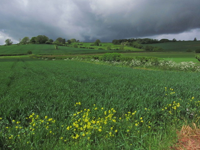
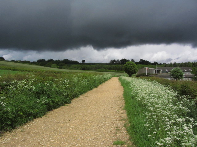
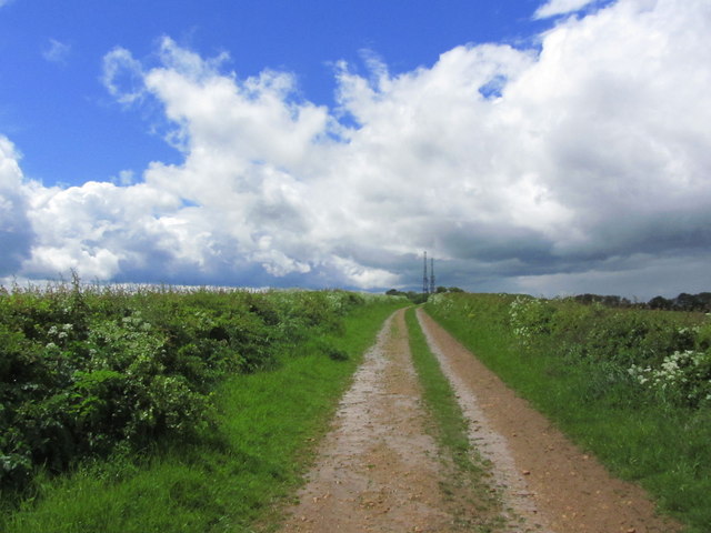
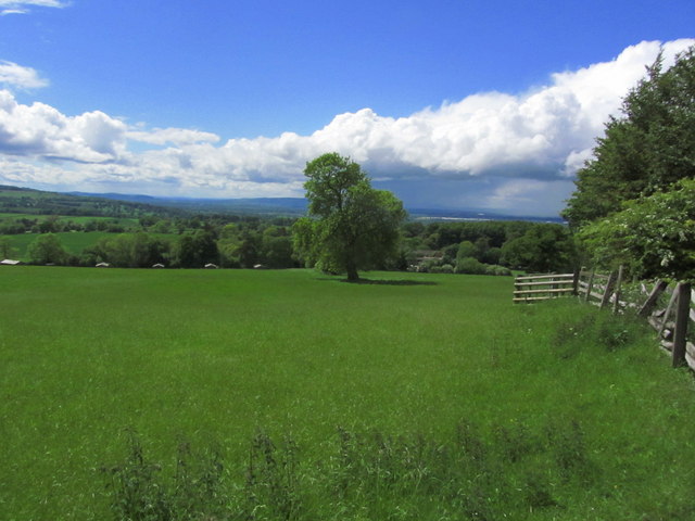
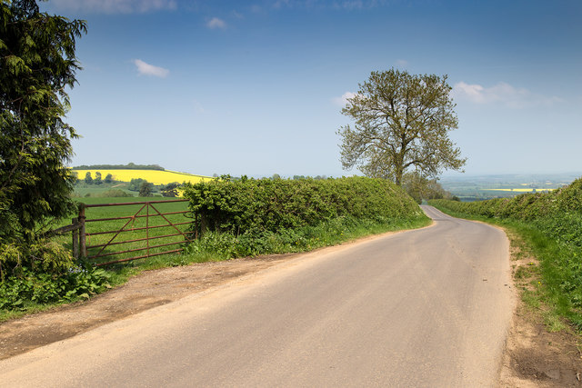
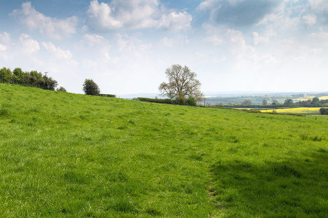
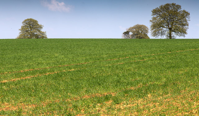
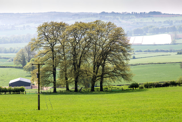
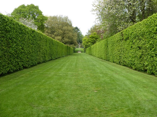
Ilmington Downs is a picturesque area located in the county of Warwickshire, England. Situated near the village of Ilmington, it is known for its stunning natural beauty and its rich historical significance. The Downs encompass a vast expanse of rolling hills and open fields, offering breathtaking panoramic views of the surrounding countryside.
This area is famous for its diverse flora and fauna, making it a popular destination for nature enthusiasts and wildlife lovers. The Downs are home to a variety of plant species, including colorful wildflowers, ancient oak trees, and patches of rare grassland. Numerous bird species can also be spotted here, such as skylarks, meadow pipits, and kestrels.
Ilmington Downs hold great historical value, with evidence of human occupation dating back to the prehistoric era. The area is dotted with ancient burial mounds, known as barrows, which are believed to be remnants of Bronze Age settlements. In addition, remnants of Roman settlements and medieval ridge and furrow farming can be found here, providing insights into the region's rich heritage.
Visitors to Ilmington Downs can explore the area through a network of footpaths and trails, enjoying leisurely walks or more challenging hikes. The peaceful and tranquil atmosphere, coupled with the breathtaking scenery, offers a perfect escape from the hustle and bustle of modern life. Whether one is seeking a serene nature retreat or a glimpse into the past, Ilmington Downs offers a captivating experience for all.
If you have any feedback on the listing, please let us know in the comments section below.
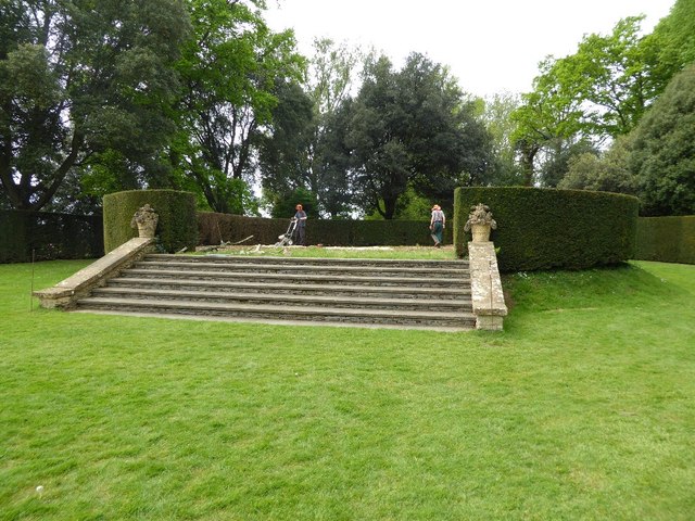
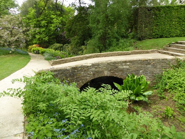
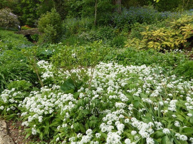
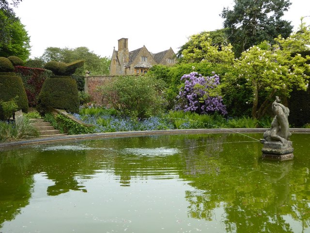
Ilmington Downs Images
Images are sourced within 2km of 52.08101/-1.7202 or Grid Reference SP1942. Thanks to Geograph Open Source API. All images are credited.


Ilmington Downs is located at Grid Ref: SP1942 (Lat: 52.08101, Lng: -1.7202)
Administrative County: Warwickshire
District: Stratford-on-Avon
Police Authority: Warwickshire
What 3 Words
///fulfilled.former.handbag. Near Mickleton, Gloucestershire
Nearby Locations
Related Wikis

Ebrington Hill
Ebrington Hill is a hill in Warwickshire, England, which at 261 m (856 ft) is the highest in the county. It is situated between the villages of Ebrington...
Touch FM (Stratford-upon-Avon)
102 Touch FM was an Independent Local Radio station broadcasting to the town of Stratford-upon-Avon and much of the counties of Warwickshire, Worcestershire...

Ilmington Downs
The Ilmington Downs are a large open area situated in Warwickshire, just above the small village of Ilmington. It is the highest point in Warwickshire...
Hidcote Bartrim
Hidcote Bartrim is a hamlet and former civil parish, now in the parish of Ebrington, in the Cotswold district of Gloucestershire, England. The nearest...
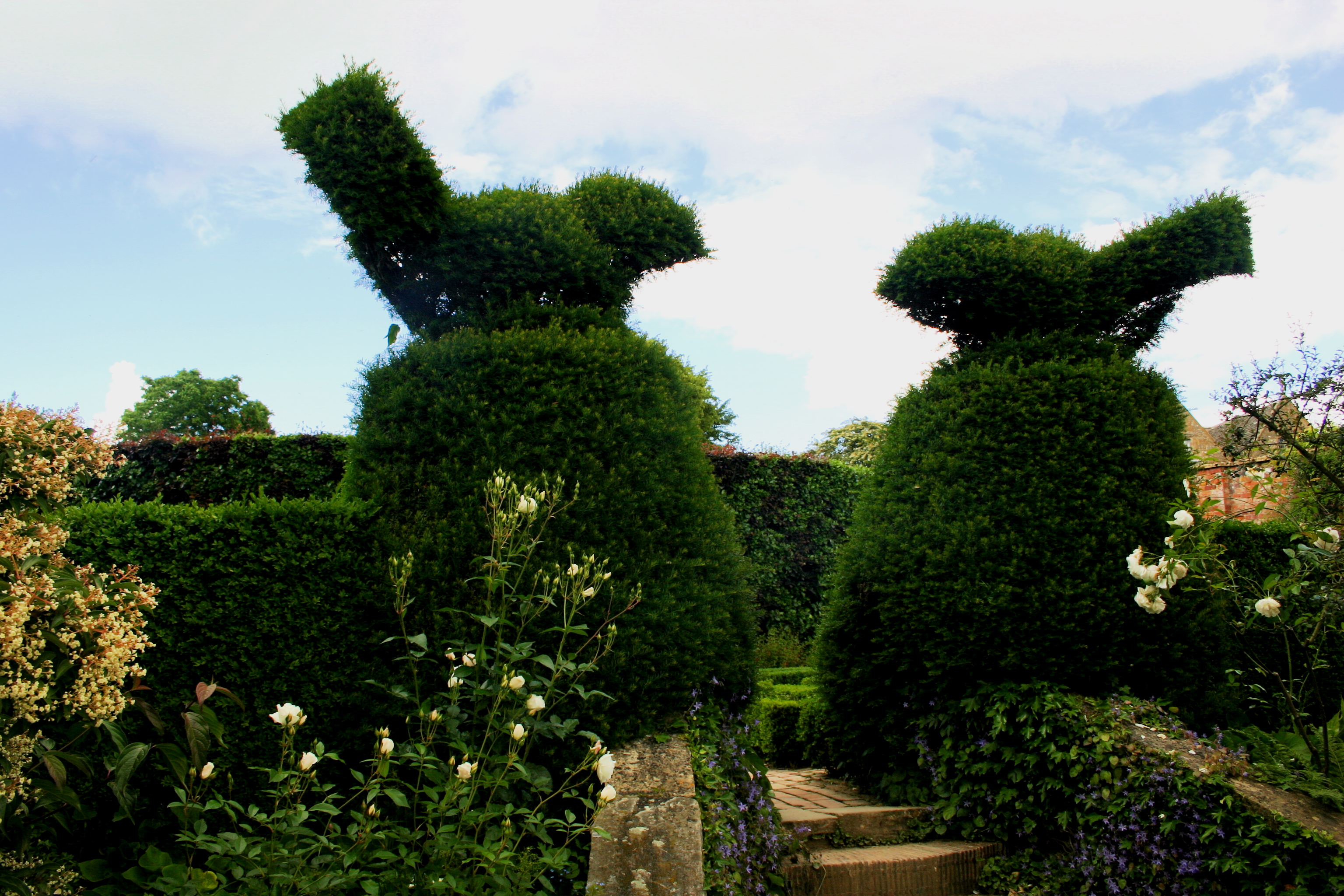
Hidcote Manor Garden
Hidcote Manor Garden is a garden in the United Kingdom, located at the village of Hidcote Bartrim, near Chipping Campden, Gloucestershire. It is one of...

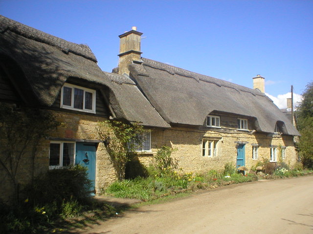
Ilmington
Ilmington is a village and civil parish about 3.5 miles (5.6 km) north-west of Shipston-on-Stour and 8 miles (13 km) south of Stratford-upon-Avon in the...
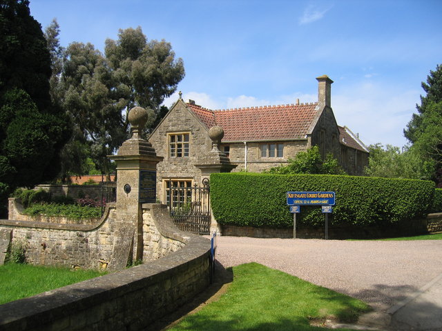
Kiftsgate Court Gardens
Kiftsgate Court Gardens is situated above the village of Mickleton in the county of Gloucestershire, England, in the far north of the county close to the...

Ebrington
Ebrington (known locally as Yabberton or Yubberton) is a village and civil parish in Gloucestershire, England, about 2 miles (3.2 km) from Chipping Campden...
Nearby Amenities
Located within 500m of 52.08101,-1.7202Have you been to Ilmington Downs?
Leave your review of Ilmington Downs below (or comments, questions and feedback).