Nebsworth
Settlement in Warwickshire Stratford-on-Avon
England
Nebsworth
Nebsworth is a small village located in the county of Warwickshire, England. Situated in the heart of the picturesque countryside, it offers a serene and tranquil environment, making it an attractive destination for those seeking a peaceful retreat. With a population of around 300 residents, Nebsworth maintains a close-knit community feel.
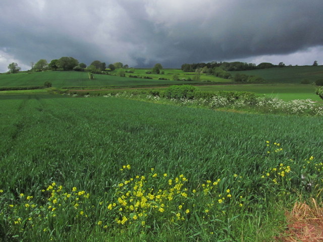
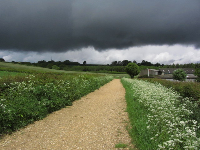
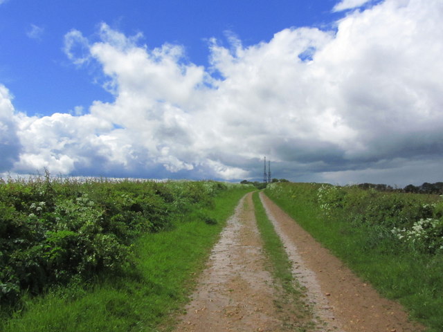
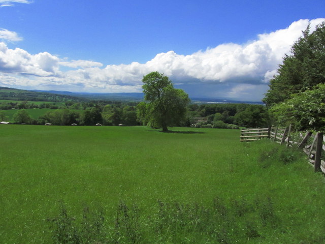
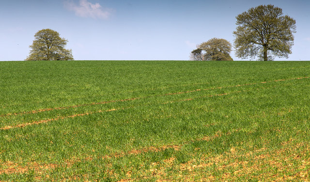
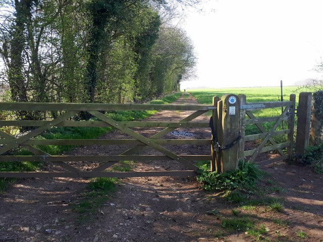
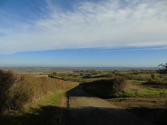
The village is renowned for its beautiful landscapes, characterized by rolling hills, lush green fields, and meandering rivers. It is an idyllic setting for outdoor enthusiasts, with numerous walking and cycling trails available to explore the surrounding natural beauty. The nearby Nebsworth Forest provides an ideal spot for picnics and wildlife spotting.
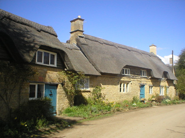
Nebsworth is also steeped in history, boasting a rich heritage that is evident in its architecture. The St. Mary's Church, dating back to the 13th century, stands as a prominent landmark and a testament to the village's historical significance. Additionally, Nebsworth Manor, a grand Georgian mansion, adds to the charm of the village, showcasing the opulence of a bygone era.
Despite its small size, Nebsworth offers a range of amenities to its residents and visitors. The village is home to a local pub, The Nebsworth Arms, which serves traditional British cuisine and offers a cozy atmosphere for socializing. There is also a village hall that hosts various community events and gatherings.
Overall, Nebsworth, Warwickshire, presents itself as an enchanting rural retreat, combining natural beauty, historical charm, and a strong sense of community. It is an ideal destination for those seeking tranquility and a close connection with nature.
If you have any feedback on the listing, please let us know in the comments section below.
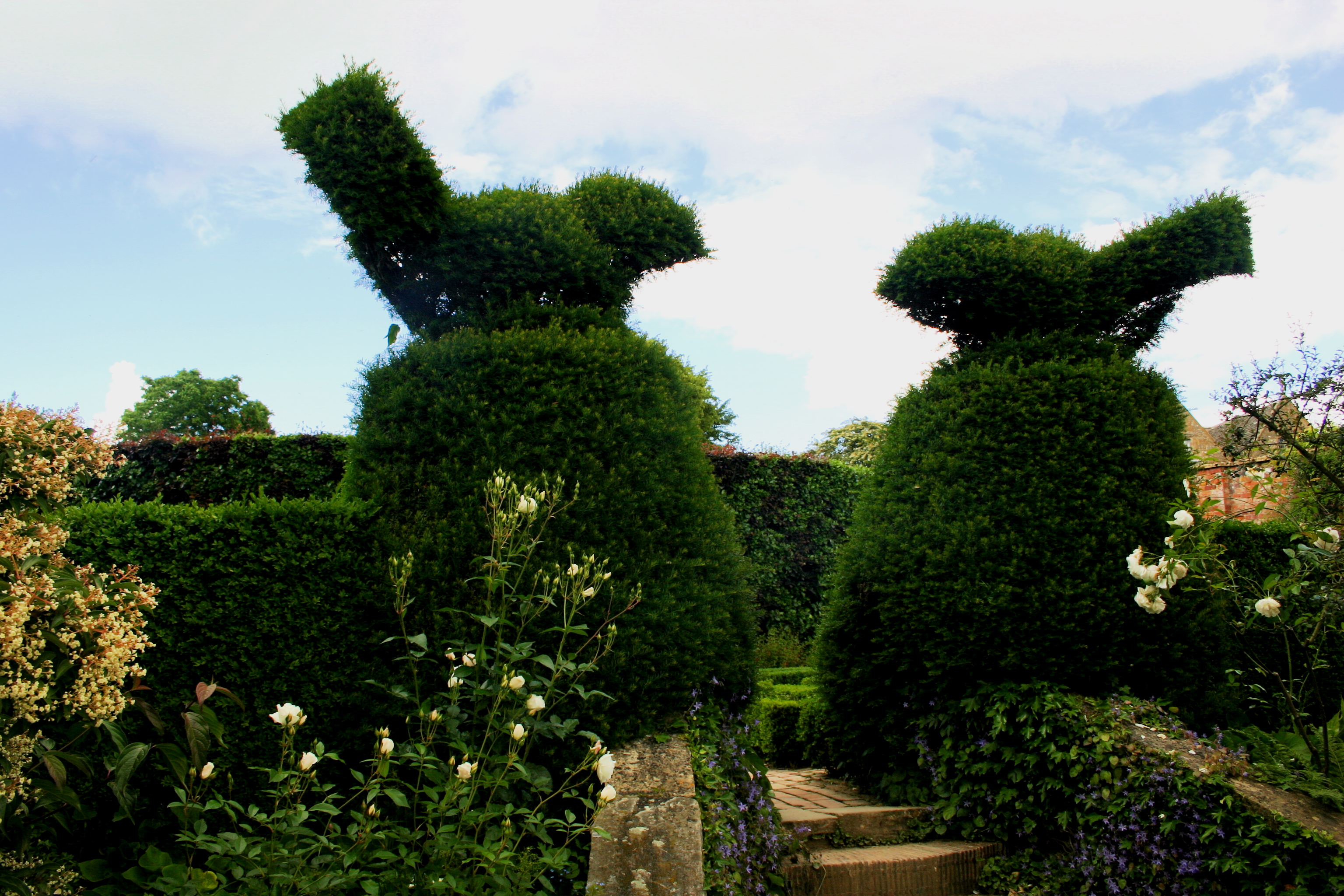
Nebsworth Images
Images are sourced within 2km of 52.081276/-1.711321 or Grid Reference SP1942. Thanks to Geograph Open Source API. All images are credited.


Nebsworth is located at Grid Ref: SP1942 (Lat: 52.081276, Lng: -1.711321)
Administrative County: Warwickshire
District: Stratford-on-Avon
Police Authority: Warwickshire
What 3 Words
///capers.camp.relatives. Near Mickleton, Gloucestershire
Nearby Locations
Related Wikis

Ilmington Downs
The Ilmington Downs are a large open area situated in Warwickshire, just above the small village of Ilmington. It is the highest point in Warwickshire...

Ebrington Hill
Ebrington Hill is a hill in Warwickshire, England, which at 261 m (856 ft) is the highest in the county. It is situated between the villages of Ebrington...
Touch FM (Stratford-upon-Avon)
102 Touch FM was an Independent Local Radio station broadcasting to the town of Stratford-upon-Avon and much of the counties of Warwickshire, Worcestershire...

Ilmington
Ilmington is a village and civil parish about 3.5 miles (5.6 km) north-west of Shipston-on-Stour and 8 miles (13 km) south of Stratford-upon-Avon in the...
Hidcote Bartrim
Hidcote Bartrim is a hamlet and former civil parish, now in the parish of Ebrington, in the Cotswold district of Gloucestershire, England. The nearest...
Hidcote Manor Garden
Hidcote Manor Garden is a garden in the United Kingdom, located at the village of Hidcote Bartrim, near Chipping Campden, Gloucestershire. It is one of...

Flowers Wood
Flowers Wood is a community woodland near Ilmington in Warwickshire, England. It covers a total area of 1.67 hectares (4.13 acres). It is owned and managed...
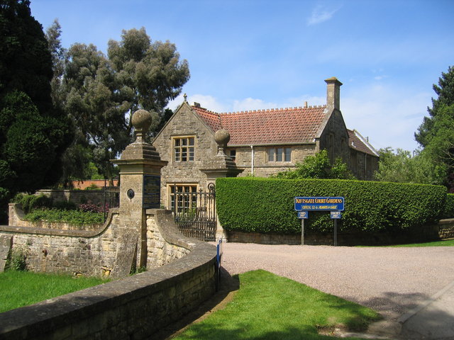
Kiftsgate Court Gardens
Kiftsgate Court Gardens is situated above the village of Mickleton in the county of Gloucestershire, England, in the far north of the county close to the...
Nearby Amenities
Located within 500m of 52.081276,-1.711321Have you been to Nebsworth?
Leave your review of Nebsworth below (or comments, questions and feedback).