Crianlarich
Settlement in Perthshire
Scotland
Crianlarich
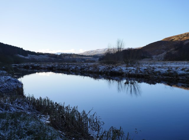
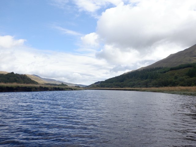
Crianlarich is a small village located in the Stirling council area of Perthshire, Scotland. Situated in the southern Highlands, it is nestled between the stunning Ben More and Ben Lui mountains, making it a popular destination for outdoor enthusiasts and nature lovers alike.
With a population of around 200 residents, Crianlarich exudes a tranquil and picturesque atmosphere. The village serves as a hub for hikers, climbers, and walkers exploring the surrounding mountains and trails. It is also a convenient stopover for those traveling along the West Highland Way, a long-distance walking route that extends from Milngavie to Fort William.
Despite its small size, Crianlarich offers a range of amenities to cater to visitors' needs. The village is home to a few shops, cafes, and accommodations, including traditional bed and breakfasts and a well-known hotel. The local train station provides easy access to other parts of Scotland, making it a convenient base for exploring the wider area.
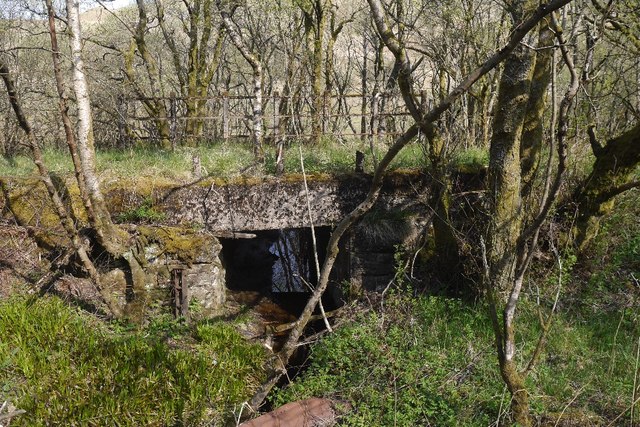
In addition to its natural beauty, Crianlarich boasts historical significance. The village was an important crossroads in ancient times, connecting various regions of Scotland. As a result, it features several historic landmarks, such as the ruins of St. Fillan's Priory, which dates back to the 13th century.
Overall, Crianlarich offers a serene escape for those seeking a peaceful retreat surrounded by breathtaking landscapes and a touch of history. Whether it's for a day trip or a longer stay, visitors are sure to be captivated by the charm and tranquility this small village in Perthshire has to offer.
If you have any feedback on the listing, please let us know in the comments section below.
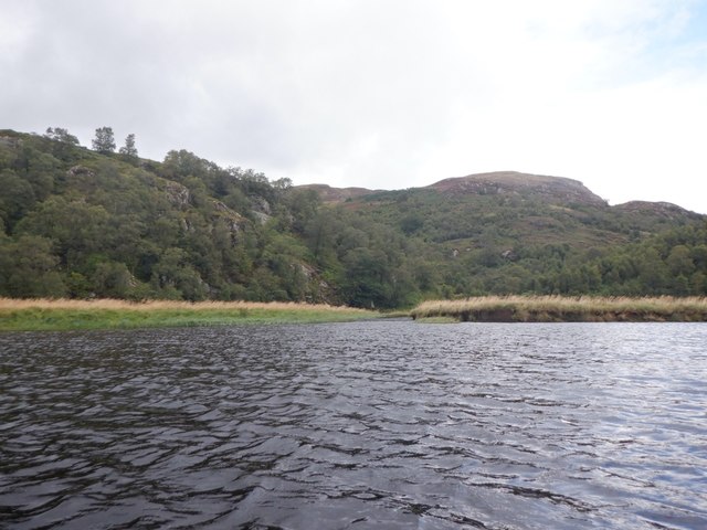
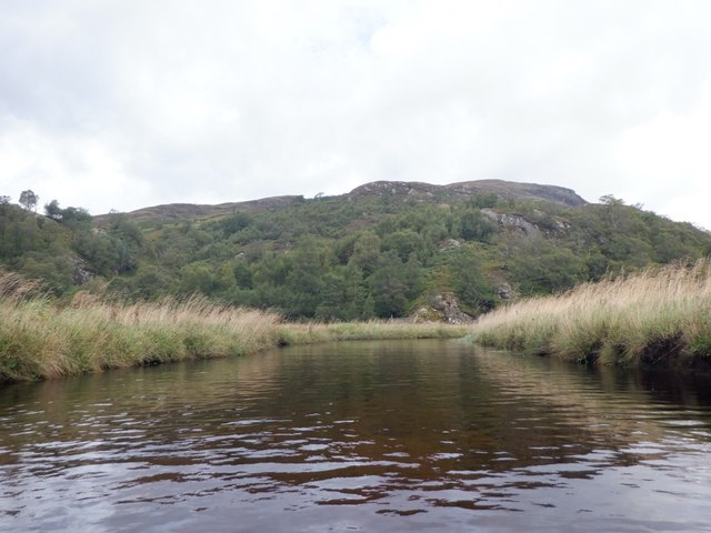
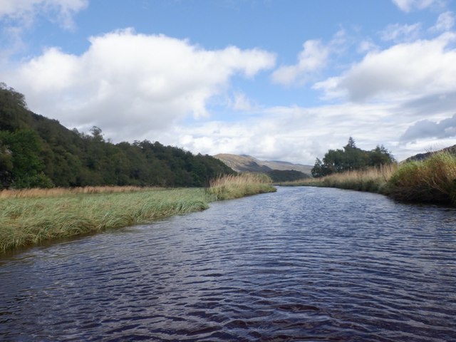
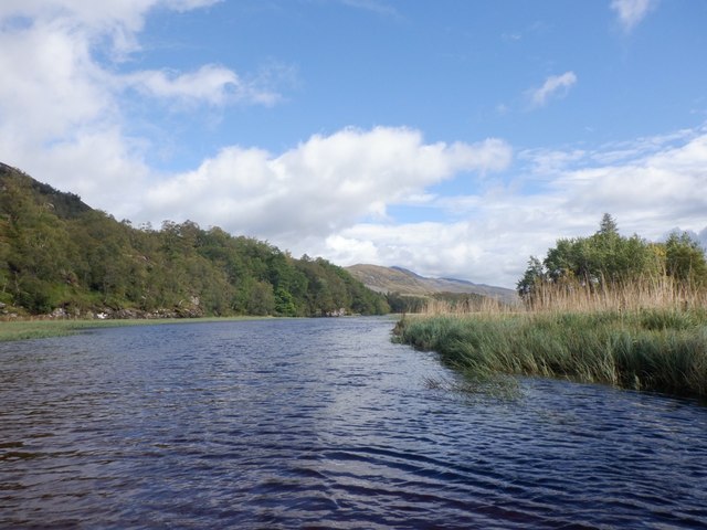
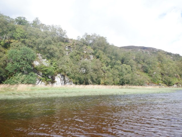
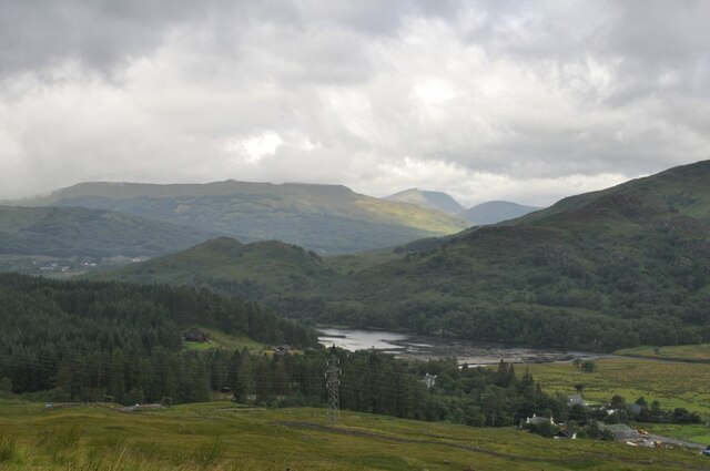
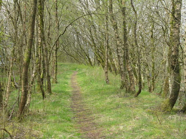
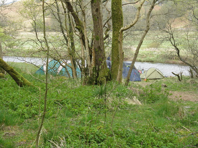
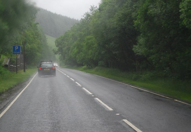
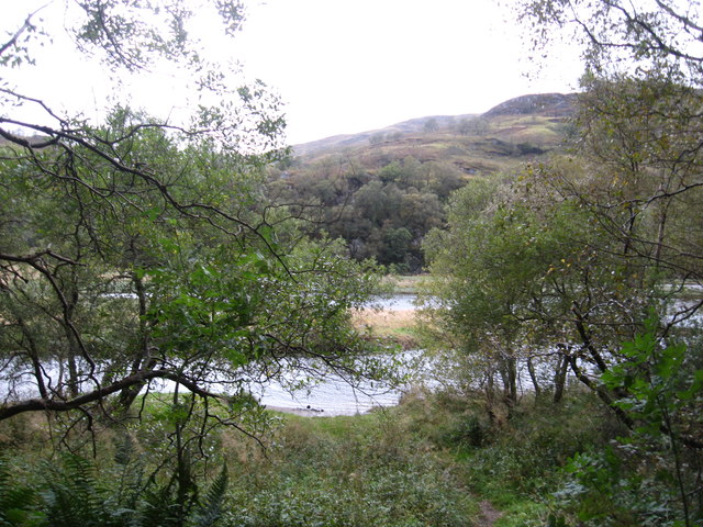
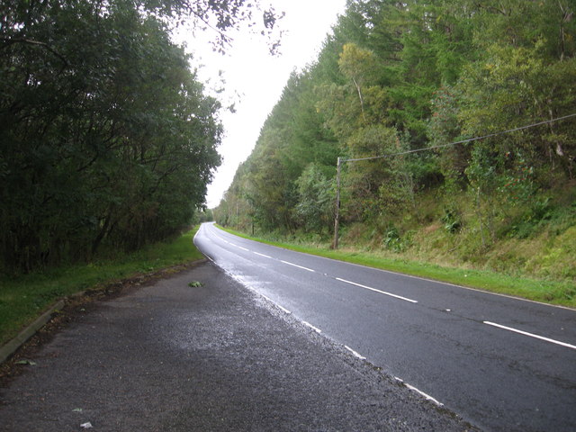
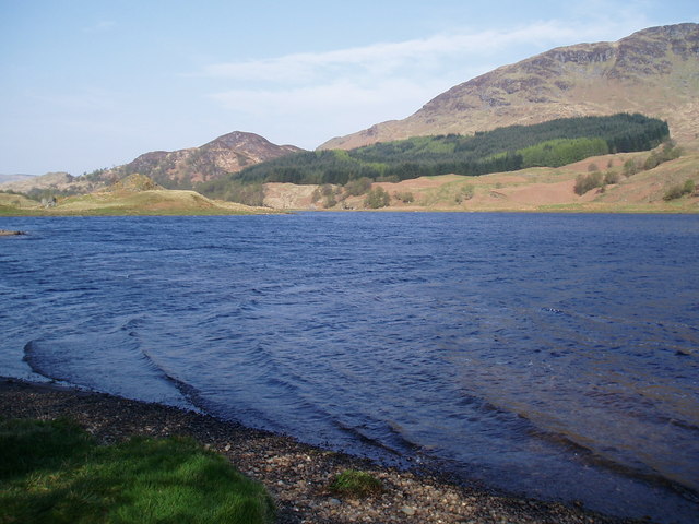
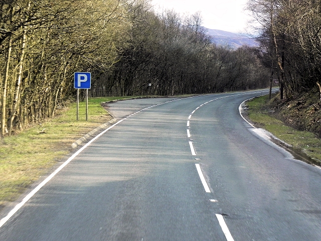
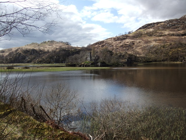
Crianlarich Images
Images are sourced within 2km of 56.392697/-4.615953 or Grid Reference NN3825. Thanks to Geograph Open Source API. All images are credited.
Crianlarich is located at Grid Ref: NN3825 (Lat: 56.392697, Lng: -4.615953)
Unitary Authority: Stirling
Police Authority: Forth Valley
What 3 Words
///mush.nesting.softly. Near Tyndrum, Stirling
Nearby Locations
Related Wikis

Crianlarich Lower railway station
Crianlarich Lower was a railway station located in Crianlarich, Stirling. == History == This station was opened on 1 August 1873 by the Callander and Oban...

Crianlarich
Crianlarich ( ; Scottish Gaelic: A' Chrìon Làraich) is a village in Stirling council area and in the registration county of Perthshire, Scotland, around...
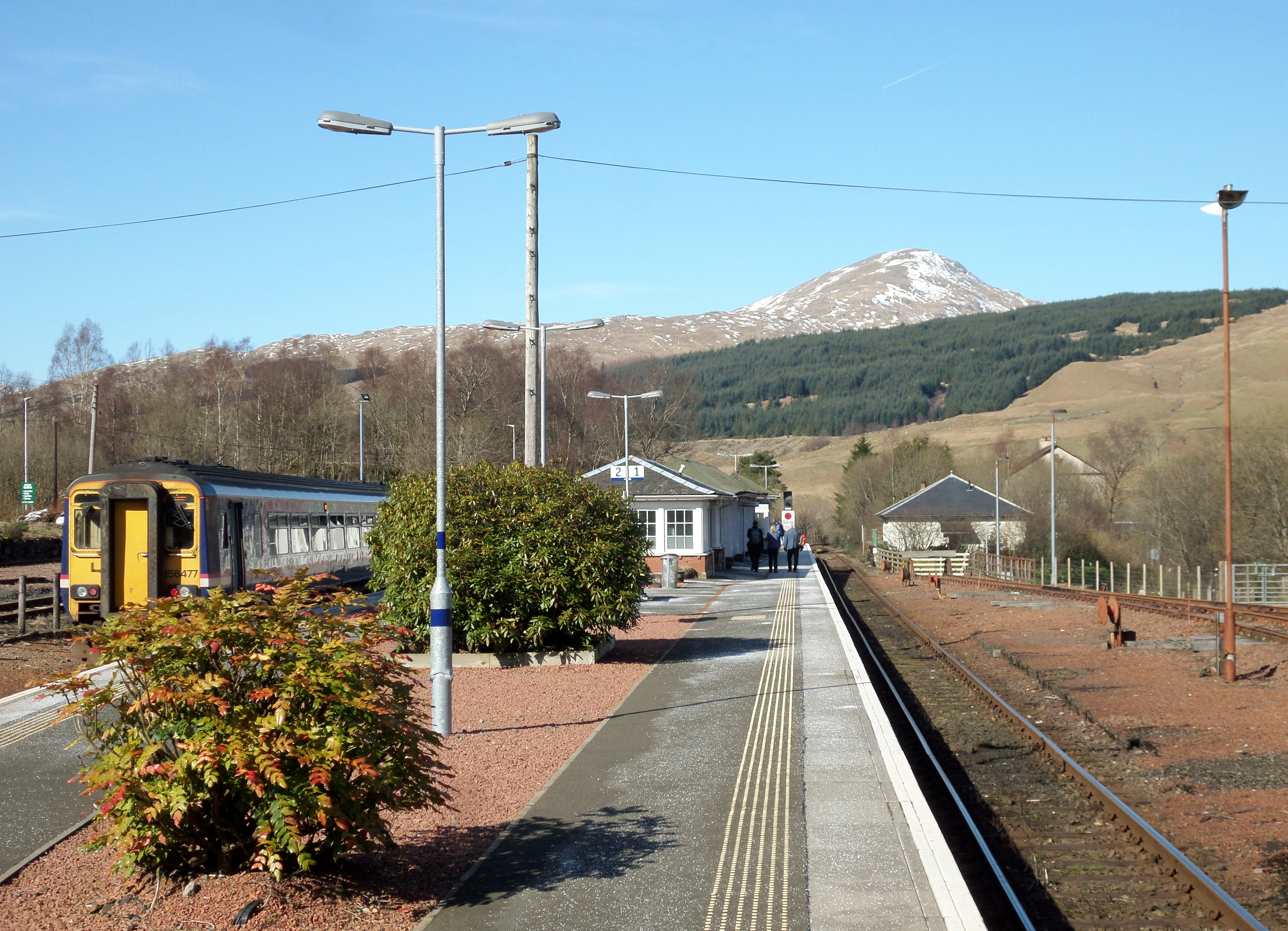
Crianlarich railway station
Crianlarich railway station is a railway station serving the village of Crianlarich in Scotland. It is located on the West Highland Line, sited 41 miles...

Loch Dochart
Loch Dochart is a small freshwater loch on the Lochdochart Estate in Stirling, Scottish Highlands. It lies approximately 1.7 km (1.1 mi) to the east of...
Strath Fillan
Strath Fillan (Scottish Gaelic: Na Sraithibh) is a strath in west Perthshire named after an 8th-century Irish hermit monk later canonised Saint Fillan...
Stob Garbh
Stob Garbh is a mountain in the Scottish Highlands. It is a Munro top located in the Breadalbane area of Loch Lomond and the Trossachs National Park.

Loch Essan
Loch Essan is a freshwater trout loch, located 2 miles north of Loch Dochart, within the Stirling Council Area, Scotland. == Settlements == On the mid...

Loch Iubhair
Loch Iubhair pronounced yoo-ar meaning yew loch, is a freshwater loch, located in Glen Dochart, and six kilometres (four miles) east of the village of...
Nearby Amenities
Located within 500m of 56.392697,-4.615953Have you been to Crianlarich?
Leave your review of Crianlarich below (or comments, questions and feedback).