Y Wig
Settlement in Montgomeryshire
Wales
Y Wig
Y Wig, also known as Llanidloes, is a small town located in the county of Montgomeryshire, Wales. Situated on the banks of River Severn, it lies approximately 16 miles west of Newtown. The town is nestled amidst picturesque rolling hills and offers a charming rural setting.
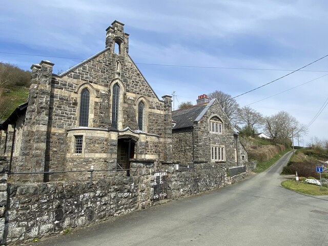
Y Wig has a rich history, dating back to medieval times. It was granted a market charter in 1280, which played a significant role in its development as a trading center. The town's architecture reflects its historical significance, with many well-preserved buildings from different eras, including timber-framed houses and Georgian-style structures.
The town is known for its warm and welcoming community, offering a range of amenities for residents and visitors alike. Y Wig boasts a variety of local shops, cafes, and traditional pubs, where one can experience the authentic Welsh culture and hospitality. Additionally, the weekly market held in the town center is a bustling hub of activity, offering fresh produce, crafts, and other local goods.
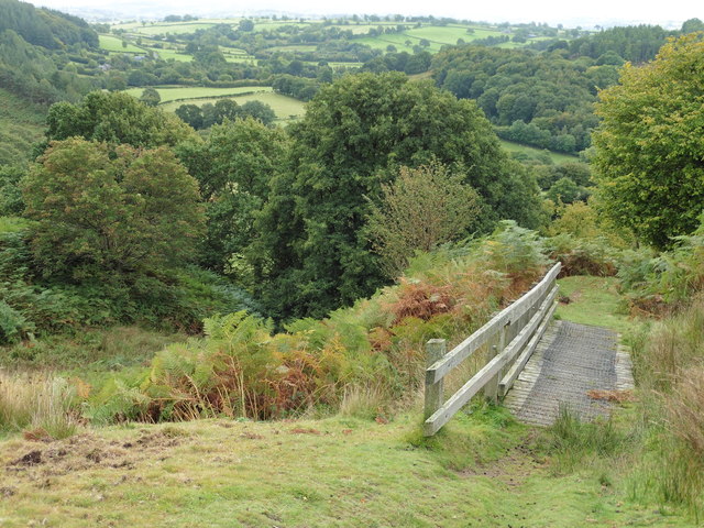
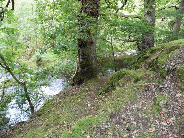
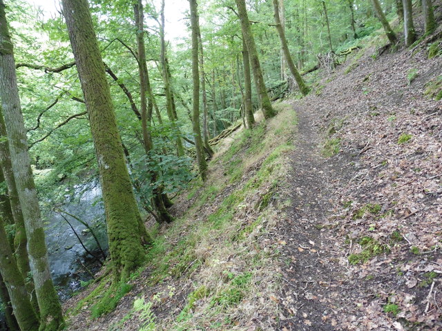
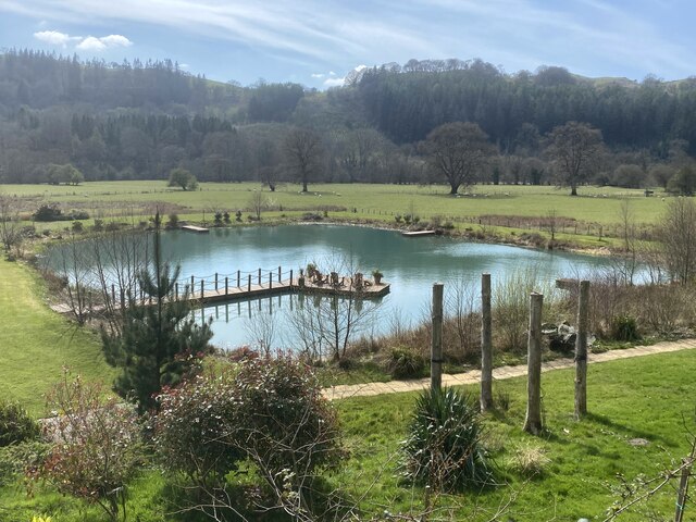
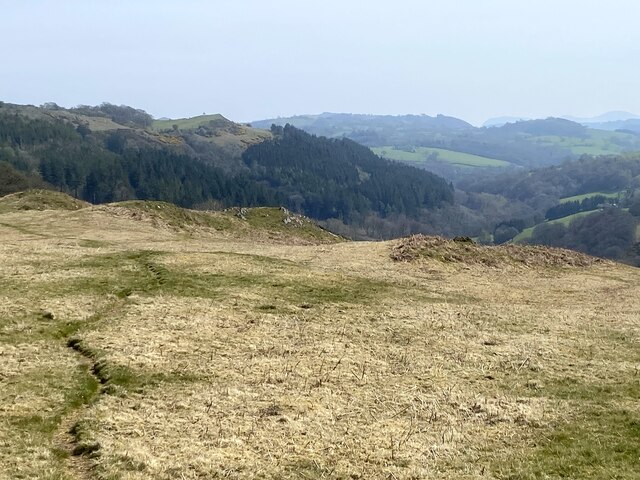
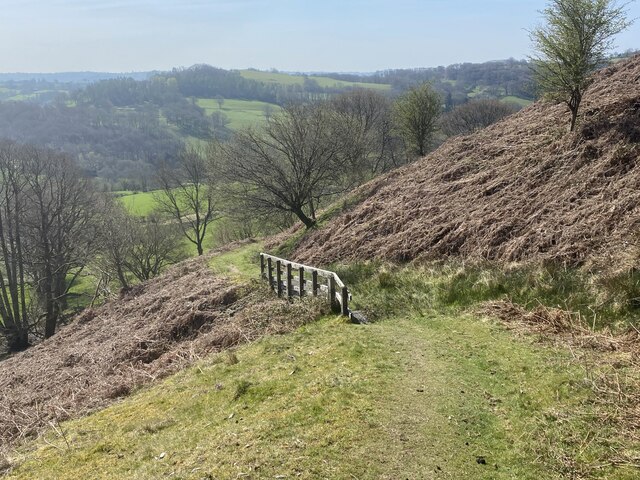
Nature enthusiasts are drawn to Y Wig due to its proximity to the stunning Cambrian Mountains and Hafren Forest. These natural landscapes provide ample opportunities for outdoor activities such as hiking, cycling, and birdwatching. The nearby Llyn Clywedog reservoir is also a popular spot for fishing and water sports.
In conclusion, Y Wig is a charming town with a rich history, picturesque surroundings, and a vibrant community. Its blend of historical architecture and natural beauty make it an appealing destination for those seeking a peaceful and authentic Welsh experience.
If you have any feedback on the listing, please let us know in the comments section below.
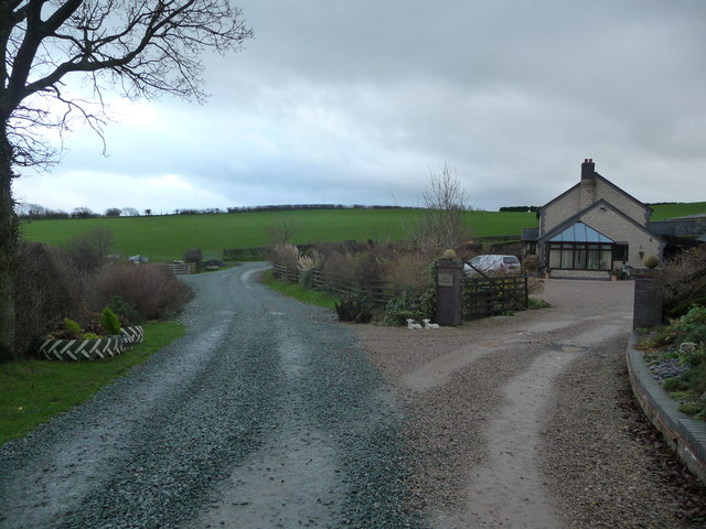
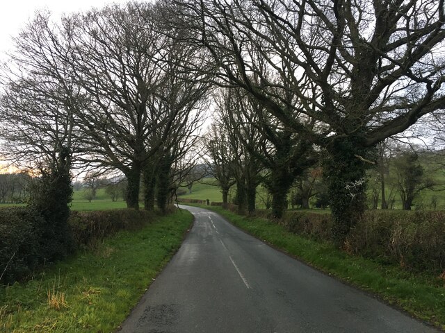
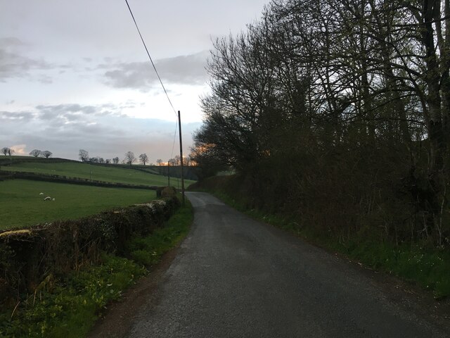
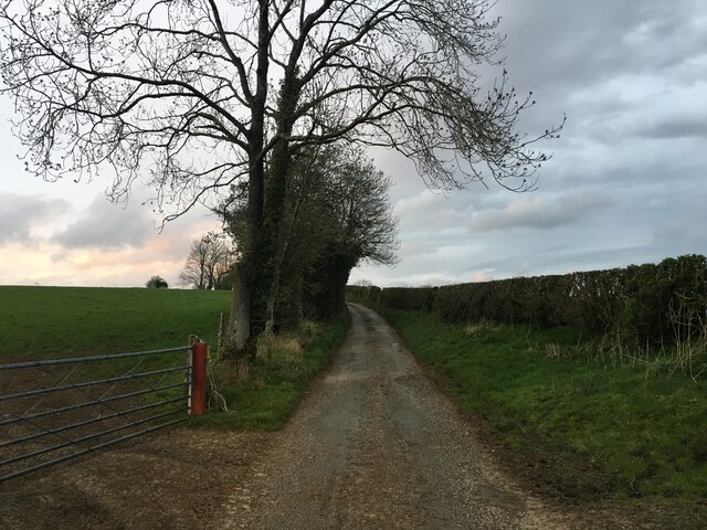
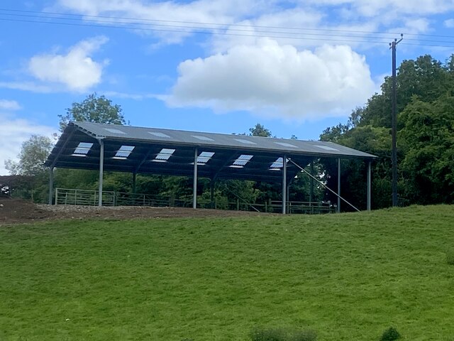
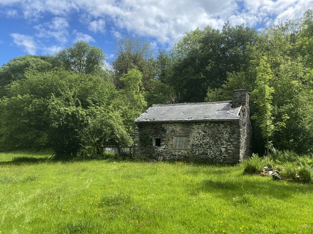
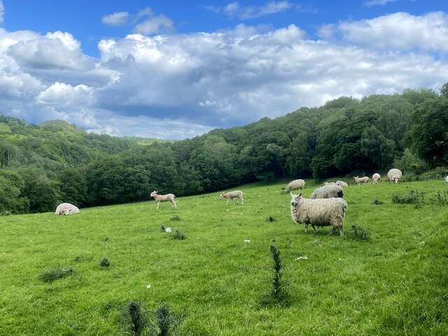
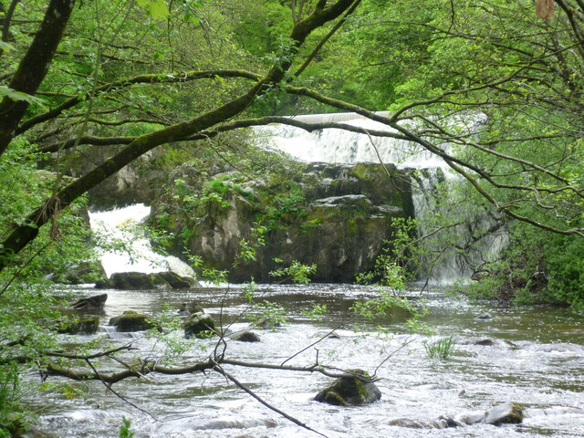
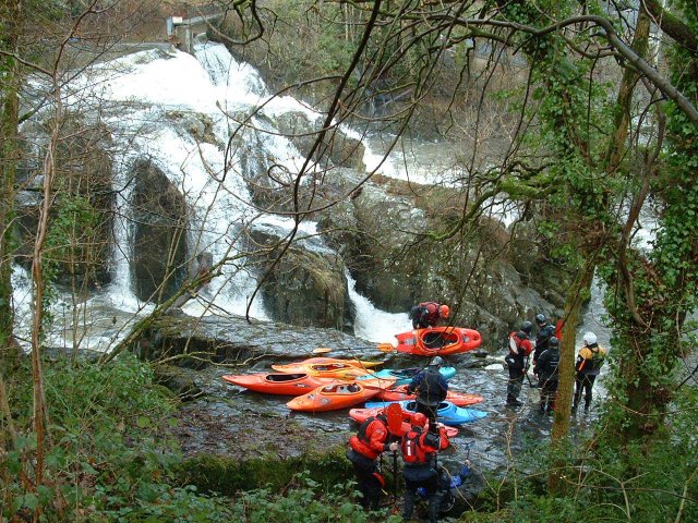
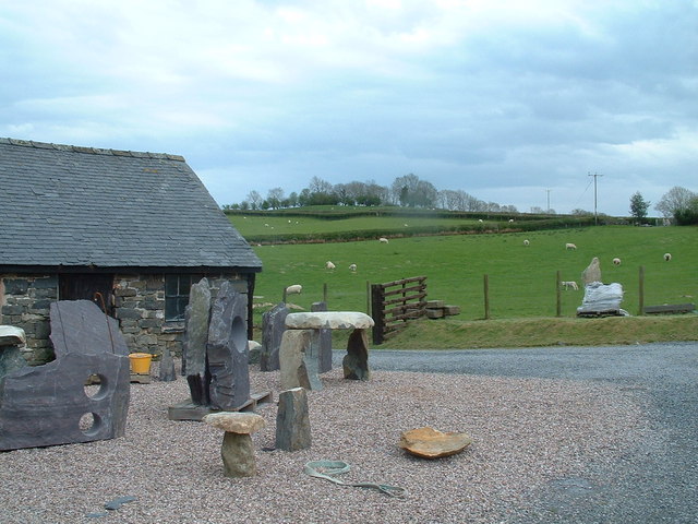
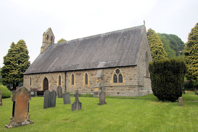
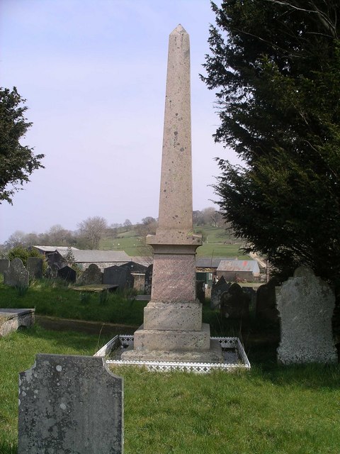
Y Wig Images
Images are sourced within 2km of 52.700338/-3.3591701 or Grid Reference SJ0812. Thanks to Geograph Open Source API. All images are credited.
Y Wig is located at Grid Ref: SJ0812 (Lat: 52.700338, Lng: -3.3591701)
Unitary Authority: Powys
Police Authority: Dyfed Powys
What 3 Words
///appointed.still.partners. Near Llanfair Caereinion, Powys
Nearby Locations
Related Wikis

Dolanog
Dolanog () or Pont Dolanog is an ecclesiastical parish or chapelry that was formed in October 1856. It comprises the townships of Dolwar in Llanfihangel...
Pontrobert
Pontrobert is an ecclesiastical parish that was formed in September 1854. It comprises the townships of Teirtref and part of Nantymeichiaid in the parish...

Dolobran, Montgomeryshire
Dolobran, in the county of Montgomeryshire (now Powys) in Wales, is a historic estate which was the earliest known seat of the expansive Lloyd family,...
Llangynyw
Llangynyw (also Llangyniew) is a hamlet and community in Montgomeryshire, Powys, mid Wales. It is located on a hill inside a bend in the River Banwy, approximately...

Four Crosses, Llanfair Caereinion
Four Crosses is a hamlet located west of Llanfair Caereinion in Powys, Wales. It is situated off the A458 between Llanfair Caereinion and Mallwyd. The...

Pentre Camp
Pentre Camp is an Iron Age hillfort, near the hamlet of Llangynyw and about 2.5 miles (4 km) north-east of Llanfair Caereinion, in Powys, Wales. It is...
Llanfihangel-yng-Ngwynfa
Llanfihangel-yng-Ngwynfa () was a parish within the former historic county of Montgomeryshire. It now forms a major part of the community of Llanfihangel...

Caereinion
Caereinion (fort of Einion) was a medieval cantref in the Kingdom of Powys, or possibly it was a commote (cwmwd) within a cantref called Llŷs Wynaf. It...
Related Videos

Mrs. Blodwen Jones recalls her wartime years at Mill Cottage, Dolanog (2002)
This was one of the last videos I made with Blodwen Jones, Cartref, Dolanog in 2002. We were staying some time before ...

Mrs. Blodwen Jones remembers Dolwar Chapel, Dolanog near Welshpool - 1994
Dolanog is a beautiful hamlet in Mid Wales near Welshpool, and my mother's family lived in the area for many generations.

Mrs. Blodwen Jones of Dolanog remembers William Evans Jones, the last Miller at Dolanog Mill. (1994)
Mrs Blodwen Jones of Cartref, Dolanog, Powys, shares her memories of her time at The Mill, Dolanog from 1947. She also recalls ...
Nearby Amenities
Located within 500m of 52.700338,-3.3591701Have you been to Y Wig?
Leave your review of Y Wig below (or comments, questions and feedback).