Coed Uchaf
Wood, Forest in Montgomeryshire
Wales
Coed Uchaf
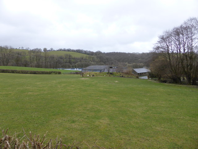
Coed Uchaf is a small woodland area located in Montgomeryshire, Wales. Known for its picturesque beauty and serene atmosphere, this forest is a popular destination for nature enthusiasts and hikers alike.
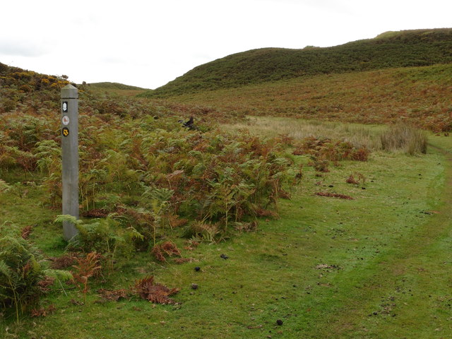
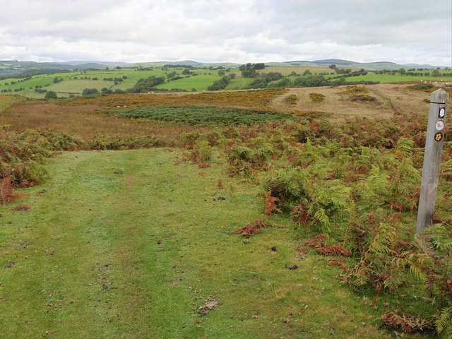
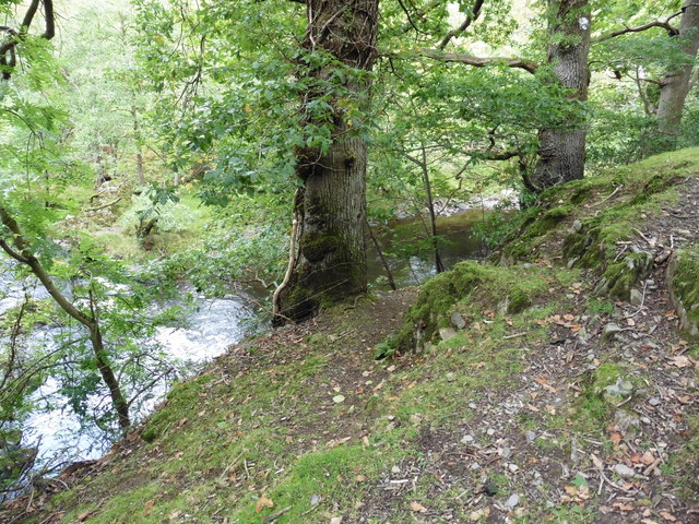
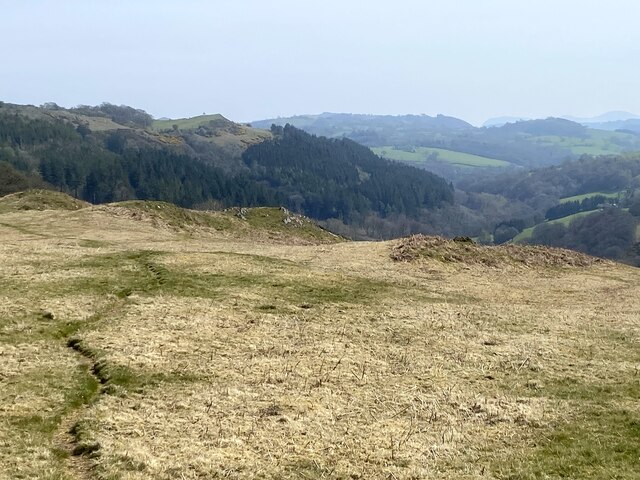
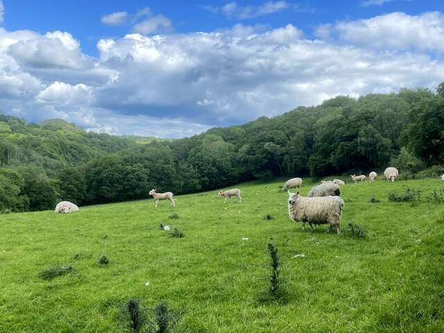
Covering an area of approximately 100 acres, Coed Uchaf is home to a diverse range of flora and fauna. The woodland is predominantly made up of native tree species such as oak, birch, and beech, which create a dense canopy that provides shelter for a variety of wildlife. Visitors can expect to encounter a rich array of bird species, including woodpeckers, owls, and various songbirds.
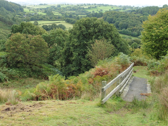
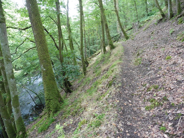
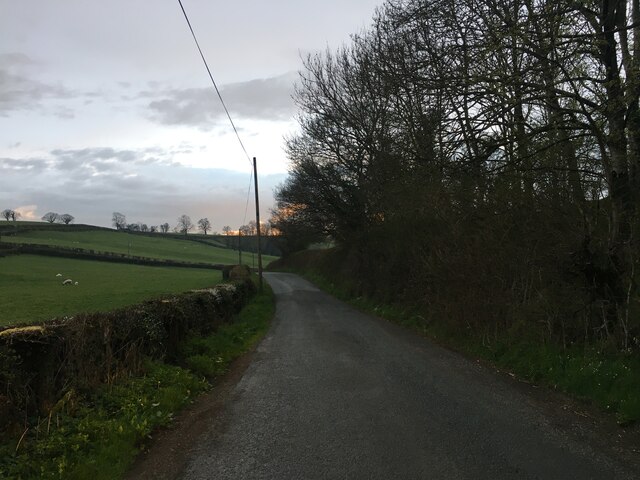
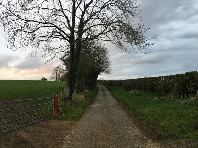
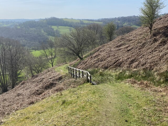
The forest is crisscrossed by a network of well-maintained trails, which offer visitors the opportunity to explore the woodland at their own pace. These trails vary in difficulty, catering to both casual walkers and more experienced hikers. Along the way, hikers can enjoy stunning views of the surrounding countryside, as well as discover hidden gems such as small waterfalls and tranquil streams.
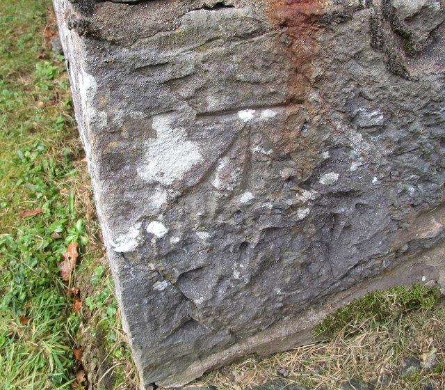
Coed Uchaf is also a site of historical significance, with evidence of human activity dating back thousands of years. Archaeological remains, such as ancient burial mounds and stone circles, can be found within the forest, adding an extra layer of intrigue to the area.
Overall, Coed Uchaf is a captivating woodland that offers a peaceful refuge from the hustle and bustle of everyday life. With its natural beauty, abundant wildlife, and fascinating history, it is a must-visit destination for nature lovers and history enthusiasts alike.
If you have any feedback on the listing, please let us know in the comments section below.
Coed Uchaf Images
Images are sourced within 2km of 52.705953/-3.3587082 or Grid Reference SJ0812. Thanks to Geograph Open Source API. All images are credited.

Coed Uchaf is located at Grid Ref: SJ0812 (Lat: 52.705953, Lng: -3.3587082)
Unitary Authority: Powys
Police Authority: Dyfed Powys
What 3 Words
///wires.comic.envisage. Near Llanfair Caereinion, Powys
Nearby Locations
Related Wikis

Dolanog
Dolanog () or Pont Dolanog is an ecclesiastical parish or chapelry that was formed in October 1856. It comprises the townships of Dolwar in Llanfihangel...
Pontrobert
Pontrobert is an ecclesiastical parish that was formed in September 1854. It comprises the townships of Teirtref and part of Nantymeichiaid in the parish...

Dolobran, Montgomeryshire
Dolobran, in the county of Montgomeryshire (now Powys) in Wales, is a historic estate which was the earliest known seat of the expansive Lloyd family,...
Llanfihangel-yng-Ngwynfa
Llanfihangel-yng-Ngwynfa () was a parish within the former historic county of Montgomeryshire. It now forms a major part of the community of Llanfihangel...

Plynlimon and Hafan Tramway
The Plynlimon and Hafan Tramway was a 2 ft 3 in (686 mm) gauge narrow gauge railway in Cardiganshire (now Ceredigion) in Mid Wales. It ran from Llanfihangel...
Llangynyw
Llangynyw (also Llangyniew) is a hamlet and community in Montgomeryshire, Powys, mid Wales. It is located on a hill inside a bend in the River Banwy, approximately...

Four Crosses, Llanfair Caereinion
Four Crosses is a hamlet located west of Llanfair Caereinion in Powys, Wales. It is situated off the A458 between Llanfair Caereinion and Mallwyd. The...

Pentre Camp
Pentre Camp is an Iron Age hillfort, near the hamlet of Llangynyw and about 2.5 miles (4 km) north-east of Llanfair Caereinion, in Powys, Wales. It is...
Nearby Amenities
Located within 500m of 52.705953,-3.3587082Have you been to Coed Uchaf?
Leave your review of Coed Uchaf below (or comments, questions and feedback).