Coed Canol
Wood, Forest in Montgomeryshire
Wales
Coed Canol
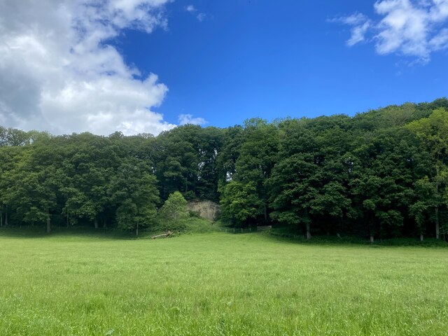
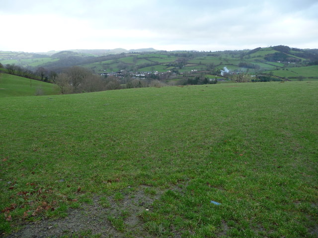
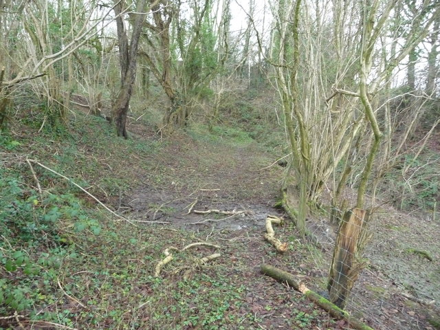
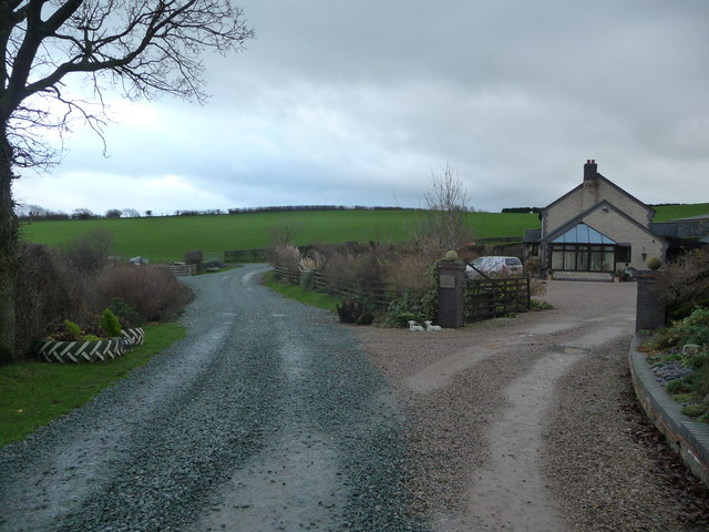
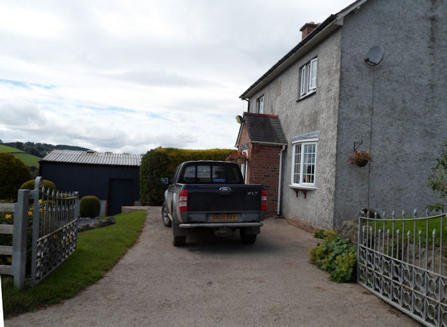
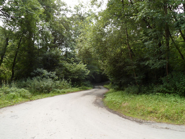
Coed Canol, located in Montgomeryshire, is a picturesque woodland area known for its natural beauty and rich biodiversity. Covering an extensive area, it is a popular destination for nature lovers and outdoor enthusiasts.
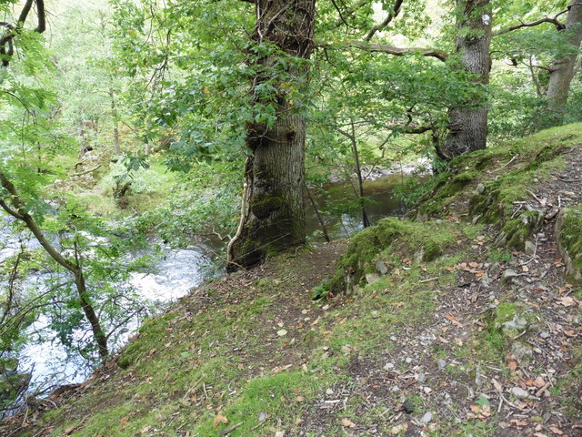
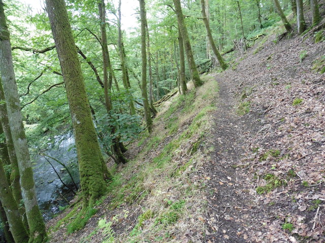
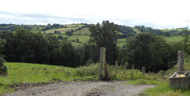
The forest is characterized by its dense tree cover, predominantly consisting of native species such as oak, beech, and birch. These towering trees create a tranquil and serene ambiance, providing a perfect escape from the hustle and bustle of city life. The forest floor is carpeted with an array of wildflowers, adding vibrant splashes of color to the surroundings.
Coed Canol is home to a diverse range of wildlife, making it a haven for nature enthusiasts. Visitors may catch glimpses of red deer, badgers, foxes, and a variety of bird species, including woodpeckers and owls. The forest also supports a thriving population of smaller creatures such as squirrels, hedgehogs, and rabbits.
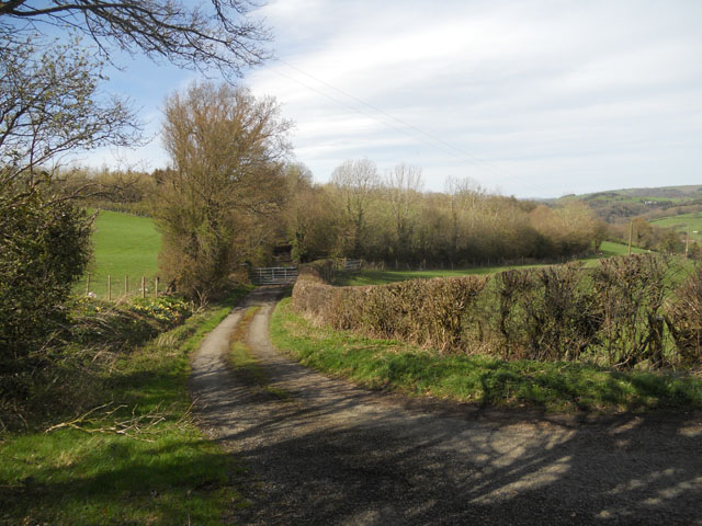
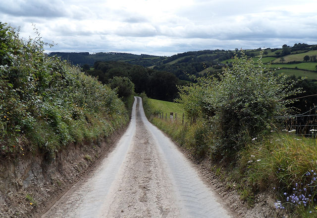
For those who enjoy outdoor activities, Coed Canol offers a range of options. There are numerous walking trails that meander through the woodland, allowing visitors to explore its hidden corners and discover its hidden treasures. The forest is also a popular spot for bird watching, photography, and picnicking, attracting visitors of all ages.
Coed Canol's natural beauty and tranquil atmosphere make it a cherished location for locals and visitors alike. Its unique blend of flora and fauna, combined with its accessibility and range of activities, ensure that it remains a beloved destination for nature enthusiasts and those seeking a peaceful retreat in Montgomeryshire.
If you have any feedback on the listing, please let us know in the comments section below.
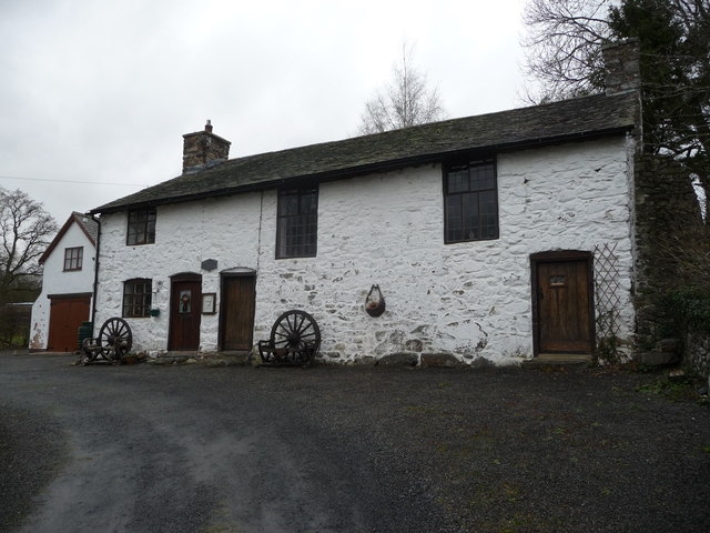
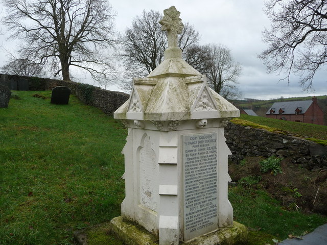
Coed Canol Images
Images are sourced within 2km of 52.702568/-3.3488942 or Grid Reference SJ0812. Thanks to Geograph Open Source API. All images are credited.

Coed Canol is located at Grid Ref: SJ0812 (Lat: 52.702568, Lng: -3.3488942)
Unitary Authority: Powys
Police Authority: Dyfed Powys
What 3 Words
///oldest.calculating.treaty. Near Llanfair Caereinion, Powys
Nearby Locations
Related Wikis
Pontrobert
Pontrobert is an ecclesiastical parish that was formed in September 1854. It comprises the townships of Teirtref and part of Nantymeichiaid in the parish...

Dolanog
Dolanog () or Pont Dolanog is an ecclesiastical parish or chapelry that was formed in October 1856. It comprises the townships of Dolwar in Llanfihangel...

Dolobran, Montgomeryshire
Dolobran, in the county of Montgomeryshire (now Powys) in Wales, is a historic estate which was the earliest known seat of the expansive Lloyd family,...
Llangynyw
Llangynyw (also Llangyniew) is a hamlet and community in Montgomeryshire, Powys, mid Wales. It is located on a hill inside a bend in the River Banwy, approximately...

Pentre Camp
Pentre Camp is an Iron Age hillfort, near the hamlet of Llangynyw and about 2.5 miles (4 km) north-east of Llanfair Caereinion, in Powys, Wales. It is...

Caereinion
Caereinion (fort of Einion) was a medieval cantref in the Kingdom of Powys, or possibly it was a commote (cwmwd) within a cantref called Llŷs Wynaf. It...
Llanfihangel-yng-Ngwynfa
Llanfihangel-yng-Ngwynfa () was a parish within the former historic county of Montgomeryshire. It now forms a major part of the community of Llanfihangel...

Mathrafal
Mathrafal near Welshpool, in Powys, Mid Wales, was the seat of the Kings and Princes of Powys probably from the 9th century until its destruction in 1213...
Nearby Amenities
Located within 500m of 52.702568,-3.3488942Have you been to Coed Canol?
Leave your review of Coed Canol below (or comments, questions and feedback).