Woodhouse

Settlement in Yorkshire

England

Woodhouse

Lower Fell Greave Public footpath through Lower Fell Greave on a sunny summer morning.  There has been a wood here since at least the twelfth century when it was part of the Fountains Abbey estate.
Lower Fell Greave Credit: Samantha Waddington

Woodhouse is a small village located in the metropolitan borough of Rotherham, South Yorkshire, England. Situated about 7 miles northeast of Sheffield, it lies within the historic boundaries of the West Riding of Yorkshire. With a population of around 6,000 residents, Woodhouse is a close-knit community known for its picturesque setting and friendly atmosphere.

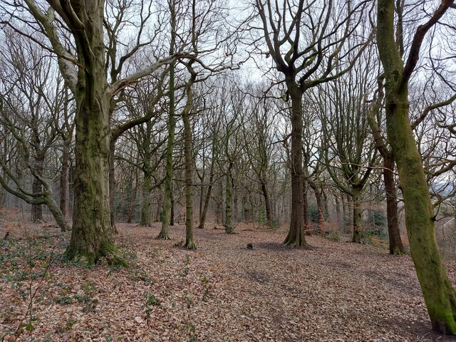
The village is surrounded by beautiful countryside, offering stunning views and ample opportunities for outdoor activities such as hiking and cycling. It is located adjacent to the Woodhouse Washlands Nature Reserve, a protected area that provides a habitat for various wildlife species.

Woodhouse has a rich history dating back to the medieval period. It was once a mining village, with coal mining being the primary industry that sustained the local economy. However, the closure of the colliery in the 1980s led to a shift towards a more diverse local economy, with residents now employed in a range of sectors including healthcare, education, and retail.

The village is well-served by amenities and facilities, including a primary school, a community center, and several shops and pubs. It also benefits from good transport links, with regular bus services connecting it to neighboring towns and cities.

Woodhouse is a vibrant community with a strong sense of pride in its heritage. The annual Woodhouse Festival celebrates local talent and brings residents together for a weekend of entertainment and activities. Overall, Woodhouse offers a peaceful and idyllic setting for residents and visitors alike, with a range of amenities and a welcoming community spirit.

If you have any feedback on the listing, please let us know in the comments section below.
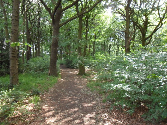
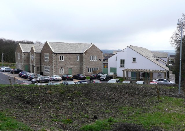
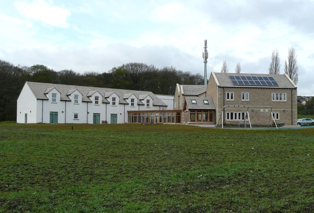
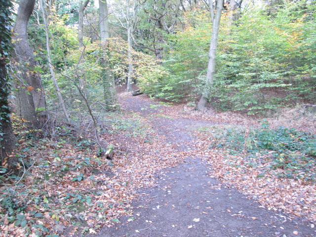
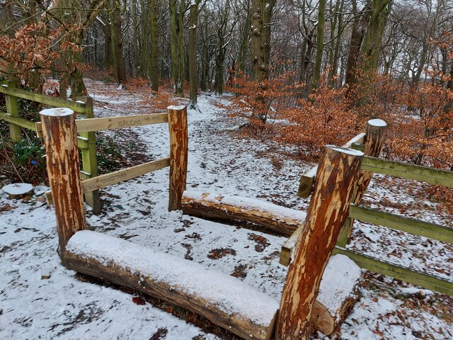
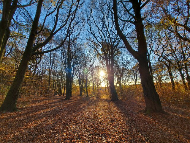
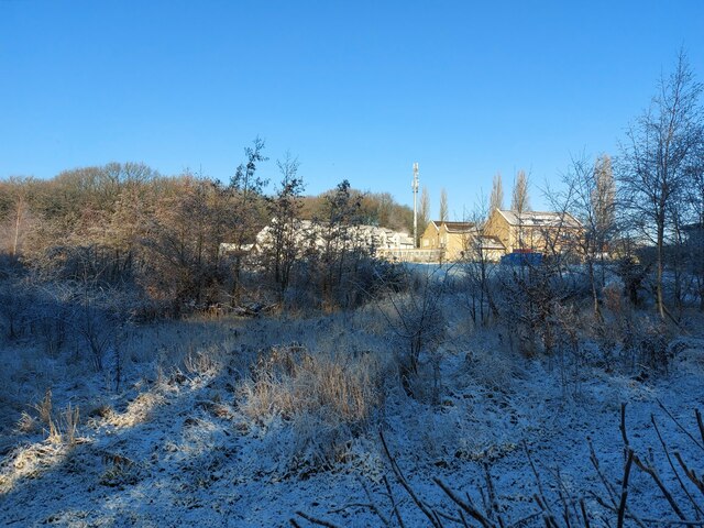
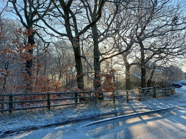
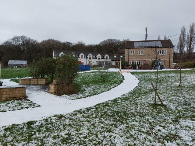
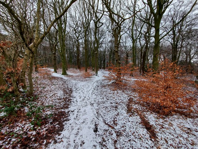
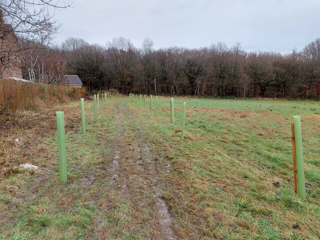
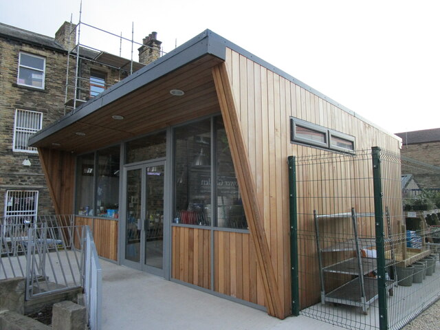
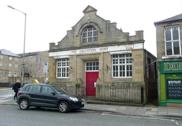
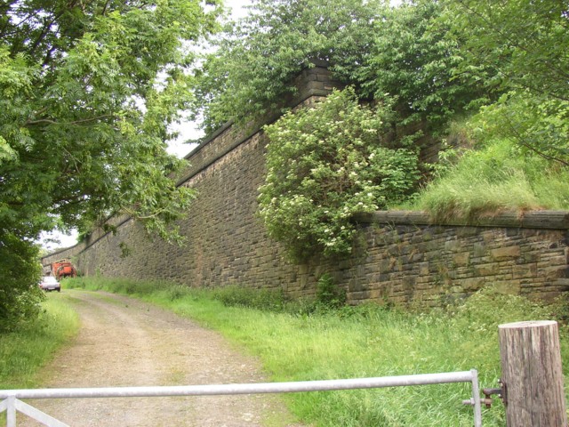
Woodhouse Images

Images are sourced within 2km of 53.692897/-1.7719248 or Grid Reference SE1521. Thanks to Geograph Open Source API. All images are credited.

Lower Fell Greave Public footpath through Lower Fell Greave on a sunny summer morning.  There has been a wood here since at least the twelfth century when it was part of the Fountains Abbey estate.
Lower Fell Greave
Public footpath through Lower Fell Greave on a sunny summer morning. There has been a wood here since at least the twelfth century when it was part of the Fountains Abbey estate.
Forget-me-not Children's Hospice, Huddersfield A controversial development in a 'green' strip between the ribbon development off Bradley Road and a large housing estate in Fartown.
Forget-me-not Children's Hospice, Huddersfield
A controversial development in a 'green' strip between the ribbon development off Bradley Road and a large housing estate in Fartown.
Woodland Path - Woodside Lane
Entrance to Lower Fell Greave Woods
Lower fell greave woods at sunrise
Lower Fell Greave Woods, looking towards Forget Me Knot Hospice
Lower Fell Greave Woods, looking from road
Forget Me Knot Hospice
Lower Fell Greave Woods
Ditch in Lower Fell Greave Woods Leftover wood from the nearby recently repaired footbridge in the bottom to help passage when too muddy
Ditch in Lower Fell Greave Woods
Leftover wood from the nearby recently repaired footbridge in the bottom to help passage when too muddy
Newly planted trees connecting Dyson Woods & Lower Fell Greave Woods
Upper Fell Greave Wood
Brighouse Bus Station
Central Methodist Church, Brighouse, east side Formerly Bethel Methodist Church. Dates from 1905 and designed by John Wills and Son <span class="nowrap"><a title="https://historicengland.org.uk/listing/the-list/list-entry/1183964?section=official-list-entry" rel="nofollow ugc noopener" href="https://historicengland.org.uk/listing/the-list/list-entry/1183964?section=official-list-entry">Link</a><img style="margin-left:2px;" alt="External link" title="External link - shift click to open in new window" src="https://s1.geograph.org.uk/img/external.png" width="10" height="10"/></span>
Central Methodist Church, Brighouse, east side
Formerly Bethel Methodist Church. Dates from 1905 and designed by John Wills and Son LinkExternal link
Central Methodist Church, Brighouse, south west corner Formerly Bethel Methodist Church. Dates from 1905 and designed by John Wills and Son. <span class="nowrap"><a title="https://historicengland.org.uk/listing/the-list/list-entry/1183964?section=official-list-entry" rel="nofollow ugc noopener" href="https://historicengland.org.uk/listing/the-list/list-entry/1183964?section=official-list-entry">Link</a><img style="margin-left:2px;" alt="External link" title="External link - shift click to open in new window" src="https://s1.geograph.org.uk/img/external.png" width="10" height="10"/></span>
Central Methodist Church, Brighouse, south west corner
Formerly Bethel Methodist Church. Dates from 1905 and designed by John Wills and Son. LinkExternal link
Cafe opposite the Bus Station, Brighouse
The former Salvation Army Hall revealed The play gym has moved out and its boards taken down, revealing the original frontage of the building with its inscription. See <a href="https://www.geograph.org.uk/photo/366034">SE1422 : Children's play gym, Bethel Street, Brighouse</a> and <a href="https://www.geograph.org.uk/photo/366042">SE1422 : Foundation stones, Bethel Street, Brighouse</a>.
The former Salvation Army Hall revealed
The play gym has moved out and its boards taken down, revealing the original frontage of the building with its inscription. See SE1422 : Children's play gym, Bethel Street, Brighouse and SE1422 : Foundation stones, Bethel Street, Brighouse.
Show me another place!

Woodhouse is located at Grid Ref: SE1521 (Lat: 53.692897, Lng: -1.7719248)

Division: West Riding

Unitary Authority: Calderdale

Police Authority: West Yorkshire

What 3 Words

///daily.spike.sits. Near Brighouse, West Yorkshire

Nearby Locations

Bradley Wood Woodhouse

Related Wikis

Blakeborough's Bridge

Blakeborough's Bridge crosses the River Calder in Brighouse, West Yorkshire, England. It was built in 1962 to link J. Blakeborough and Sons works and offices...

Brighouse railway station

Brighouse railway station serves the town of Brighouse in West Yorkshire, England. The station lies on the Calder Valley line running west from Leeds....

Brighouse Bridge

The Brighouse Bridge crosses the River Calder in Brighouse, West Yorkshire, England. It was built in 1825 as part of the Halifax and Huddersfield Turnpike...

Clifton Road railway station

Clifton Road was a railway station built by the Lancashire and Yorkshire Railway to serve the village of Clifton north east of Brighouse in West Yorkshire...

Nearby Amenities

Located within 500m of 53.692897,-1.7719248
Bus Stop
Ashlea Avenue
Bus: yes
Local Ref: 45024577
Naptan AtcoCode: 450024577
Naptan Bearing: NE
Naptan BusStopType: CUS
Naptan CommonName: Ashlea Avenue
Naptan Crossing: Ashlea Drive
Naptan Indicator: Stop 45024577
Naptan Landmark: Woodhouse Primary School
Naptan PlusbusZoneRef: LEEDS
Naptan ShortCommonName: Ashlea Drive
Naptan Street: Ashlea Avenue
Naptan Verified: no
Public Transport: platform
Ref: 45024577
Shelter: no
Source: naptan_import
Lat/Long: 53.6920966/-1.776872
Bus Stop
Woodhouse Lane
Local Ref: 45024969
Naptan AtcoCode: 450024969
Naptan Bearing: SW
Naptan BusStopType: CUS
Naptan CommonName: Woodhouse Lane
Naptan Crossing: Birds Royd Lane
Naptan Indicator: Stop 45024969
Naptan Landmark: Woodhouse Bridge
Naptan PlusbusZoneRef: LEEDS
Naptan ShortCommonName: Railway Bridge
Naptan Street: Woodhouse Lane
Naptan Verified: no
Source: naptan_import
Lat/Long: 53.6949205/-1.7680981
Mini Roundabout
Direction: clockwise
Lat/Long: 53.6942768/-1.7686307
Barrier: yes
Lat/Long: 53.6884314/-1.7711484
Barrier: yes
Lat/Long: 53.6885052/-1.7709072
Barrier: entrance
Lat/Long: 53.6930804/-1.7735247
Access: private
Barrier: lift_gate
Horse: no
Lat/Long: 53.6960462/-1.7697063
Generator Method: photovoltaic
Generator Output Electricity: yes
Generator Source: solar
Generator Type: solar_photovoltaic_panel
Location: roof
Power: generator
Lat/Long: 53.6930824/-1.7786828
Generator Method: photovoltaic
Generator Output Electricity: yes
Generator Source: solar
Generator Type: solar_photovoltaic_panel
Location: roof
Power: generator
Lat/Long: 53.6939956/-1.7781463
Generator Method: photovoltaic
Generator Output Electricity: yes
Generator Source: solar
Generator Type: solar_photovoltaic_panel
Location: roof
Power: generator
Lat/Long: 53.6962396/-1.7767757
Generator Method: photovoltaic
Generator Output Electricity: yes
Generator Source: solar
Generator Type: solar_photovoltaic_panel
Location: roof
Power: generator
Lat/Long: 53.6962031/-1.7767167
Generator Method: photovoltaic
Generator Output Electricity: yes
Generator Source: solar
Generator Type: solar_photovoltaic_panel
Location: roof
Power: generator
Lat/Long: 53.6953312/-1.7766845
Generator Method: photovoltaic
Generator Output Electricity: yes
Generator Source: solar
Generator Type: solar_photovoltaic_panel
Location: roof
Power: generator
Lat/Long: 53.6940036/-1.77555
Generator Method: photovoltaic
Generator Output Electricity: yes
Generator Source: solar
Generator Type: solar_photovoltaic_panel
Location: roof
Power: generator
Lat/Long: 53.6952328/-1.776199
Generator Method: photovoltaic
Generator Output Electricity: yes
Generator Source: solar
Generator Type: solar_photovoltaic_panel
Location: roof
Power: generator
Lat/Long: 53.6945149/-1.7751879
Generator Method: photovoltaic
Generator Output Electricity: yes
Generator Source: solar
Generator Type: solar_photovoltaic_panel
Location: roof
Power: generator
Lat/Long: 53.6949421/-1.7753676
Generator Method: photovoltaic
Generator Output Electricity: yes
Generator Source: solar
Generator Type: solar_photovoltaic_panel
Location: roof
Power: generator
Lat/Long: 53.6953312/-1.7748767
Generator Method: photovoltaic
Generator Output Electricity: yes
Generator Source: solar
Generator Type: solar_photovoltaic_panel
Location: roof
Power: generator
Lat/Long: 53.6957536/-1.7740962
Generator Method: photovoltaic
Generator Output Electricity: yes
Generator Source: solar
Generator Type: solar_photovoltaic_panel
Location: roof
Power: generator
Lat/Long: 53.6954996/-1.7743108
Generator Method: photovoltaic
Generator Output Electricity: yes
Generator Source: solar
Generator Type: solar_photovoltaic_panel
Location: roof
Power: generator
Lat/Long: 53.6946372/-1.7746434
Generator Method: photovoltaic
Generator Output Electricity: yes
Generator Source: solar
Generator Type: solar_photovoltaic_panel
Location: roof
Power: generator
Lat/Long: 53.6946023/-1.7745441
Generator Method: photovoltaic
Generator Output Electricity: yes
Generator Source: solar
Generator Type: solar_photovoltaic_panel
Location: roof
Power: generator
Lat/Long: 53.6948802/-1.7743054
Generator Method: photovoltaic
Generator Output Electricity: yes
Generator Source: solar
Generator Type: solar_photovoltaic_panel
Location: roof
Power: generator
Lat/Long: 53.6948469/-1.774233
Generator Method: photovoltaic
Generator Output Electricity: yes
Generator Source: solar
Generator Type: solar_photovoltaic_panel
Location: roof
Power: generator
Lat/Long: 53.6947452/-1.7740184
Generator Method: photovoltaic
Generator Output Electricity: yes
Generator Source: solar
Generator Type: solar_photovoltaic_panel
Location: roof
Power: generator
Lat/Long: 53.6946944/-1.7730877
Generator Method: photovoltaic
Generator Output Electricity: yes
Generator Source: solar
Generator Type: solar_photovoltaic_panel
Location: roof
Power: generator
Lat/Long: 53.6950009/-1.7721972
Generator Method: photovoltaic
Generator Output Electricity: yes
Generator Source: solar
Generator Type: solar_photovoltaic_panel
Location: roof
Power: generator
Lat/Long: 53.6947023/-1.7713603
Generator Method: photovoltaic
Generator Output Electricity: yes
Generator Source: solar
Generator Type: solar_photovoltaic_panel
Location: roof
Power: generator
Lat/Long: 53.6939631/-1.7727765
Generator Method: photovoltaic
Generator Output Electricity: yes
Generator Source: solar
Generator Type: solar_photovoltaic_panel
Location: roof
Power: generator
Lat/Long: 53.6943307/-1.7720738
Generator Method: photovoltaic
Generator Output Electricity: yes
Generator Source: solar
Generator Type: solar_photovoltaic_panel
Location: roof
Power: generator
Lat/Long: 53.6946293/-1.7711645
Generator Method: photovoltaic
Generator Output Electricity: yes
Generator Source: solar
Generator Type: solar_photovoltaic_panel
Location: roof
Power: generator
Lat/Long: 53.6945594/-1.7708936
Generator Method: photovoltaic
Generator Output Electricity: yes
Generator Source: solar
Generator Type: solar_photovoltaic_panel
Location: roof
Power: generator
Lat/Long: 53.6936859/-1.7686044
Generator Method: photovoltaic
Generator Output Electricity: yes
Generator Source: solar
Generator Type: solar_photovoltaic_panel
Location: roof
Power: generator
Lat/Long: 53.6935152/-1.7692226
Generator Method: photovoltaic
Generator Output Electricity: yes
Generator Source: solar
Generator Type: solar_photovoltaic_panel
Location: roof
Power: generator
Lat/Long: 53.6933556/-1.7698932
Generator Method: photovoltaic
Generator Output Electricity: yes
Generator Source: solar
Generator Type: solar_photovoltaic_panel
Location: roof
Power: generator
Lat/Long: 53.6917267/-1.7763166
Generator Method: photovoltaic
Generator Output Electricity: yes
Generator Source: solar
Generator Type: solar_photovoltaic_panel
Location: roof
Power: generator
Lat/Long: 53.6917317/-1.7762474
Post Box
Operator: Royal Mail
Lat/Long: 53.6944065/-1.7724906
Cafe
Royd Cafe
Addr City: Brighouse
Addr Housenumber: 45
Addr Postcode: HD6 1NG
Addr Street: Birds Royd Lane
Cuisine: sandwich
Phone: +44 1484 720445
Lat/Long: 53.6970564/-1.7729641
Entrance: main
Lat/Long: 53.6933068/-1.7770582
Entrance: main
Lat/Long: 53.6936319/-1.7770228
Traffic Calming: hump
Lat/Long: 53.695548/-1.776166
Traffic Calming: hump
Lat/Long: 53.6956888/-1.7774408
Generator Method: photovoltaic
Generator Output Electricity: yes
Generator Source: solar
Generator Type: solar_photovoltaic_panel
Location: roof
Power: generator
Lat/Long: 53.695471/-1.7733996
Surface: paving_stones
Traffic Calming: hump
Lat/Long: 53.6928716/-1.7719116
Barrier: entrance
Lat/Long: 53.6930531/-1.7733107
Mini Roundabout
Lat/Long: 53.693235/-1.7731873
Access: private
Barrier: lift_gate
Bicycle: no
Foot: no
Horse: no
Lat/Long: 53.6962057/-1.7686996
Access: private
Barrier: lift_gate
Bicycle: no
Foot: no
Horse: no
Lat/Long: 53.6962799/-1.7687484
Crossing
Crossing: zebra
Lat/Long: 53.6962434/-1.7687819
Crossing
Crossing: zebra
Lat/Long: 53.6961923/-1.768712
Entrance: main
Lat/Long: 53.6960653/-1.7681819
Woodhouse
Place: neighbourhood
Lat/Long: 53.692939/-1.77381
Give Way
Direction: forward
Lat/Long: 53.6898618/-1.7773772
Give Way
Direction: forward
Lat/Long: 53.6904735/-1.776941
Give Way
Direction: forward
Lat/Long: 53.6909951/-1.7785527
Give Way
Direction: backward
Lat/Long: 53.6914779/-1.7781475
Give Way
Direction: backward
Lat/Long: 53.6919101/-1.7770716
Give Way
Direction: backward
Lat/Long: 53.6928411/-1.7760298
The data included in this document is from www.openstreetmap.org. The data is made available under ODbL.

Have you been to Woodhouse?

Leave your review of Woodhouse below (or comments, questions and feedback).