Bradley Wood

Wood, Forest in Yorkshire

England

Bradley Wood

Weir on the River Calder seen from Cliffe Road. Brighouse This view of the weir is hidden by tree leaves in summer. It powered the former flour mill on the other side of the river.
Weir on the River Calder seen from Cliffe Road. Brighouse Credit: Humphrey Bolton

Bradley Wood is a picturesque woodland located in the heart of Yorkshire, England. Nestled amidst the rolling hills and verdant landscapes, this forested area spans over 80 acres of natural beauty. It is situated near the village of Brighouse, just a short distance from Huddersfield.

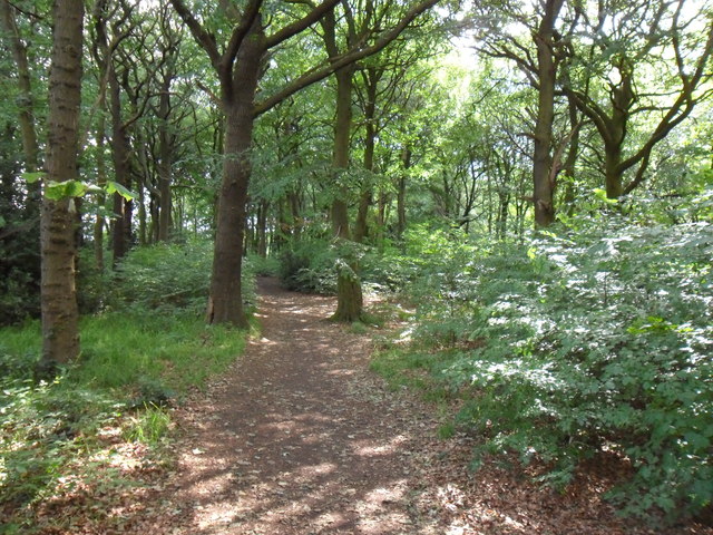
The woodland is renowned for its rich biodiversity, offering a haven for a wide array of flora and fauna. Ancient oak trees dominate the landscape, their majestic branches reaching towards the sky. The forest floor is carpeted with a vibrant tapestry of wildflowers, creating a kaleidoscope of colors throughout the seasons.

Bradley Wood is not only a haven for nature enthusiasts but also a popular destination for outdoor activities. It boasts a network of well-maintained trails, winding their way through the woodland, inviting visitors to explore and immerse themselves in its tranquil atmosphere. The paths cater to various levels of difficulty, making it accessible to both casual walkers and seasoned hikers.

The forest also offers a range of recreational facilities, including a high ropes course, archery range, and camping facilities. These amenities attract families, groups, and school outings, providing opportunities for team-building exercises and outdoor education.

Moreover, Bradley Wood serves as a hub for the scouting community, hosting camps, events, and training sessions. Its extensive camping grounds and dedicated facilities make it an ideal base for scout groups from across the region.

Overall, Bradley Wood, Yorkshire, is a cherished natural gem that offers a delightful escape into the beauty of the British countryside. Its diverse ecosystems, scenic trails, and recreational offerings make it a must-visit destination for nature lovers and adventure enthusiasts alike.

If you have any feedback on the listing, please let us know in the comments section below.
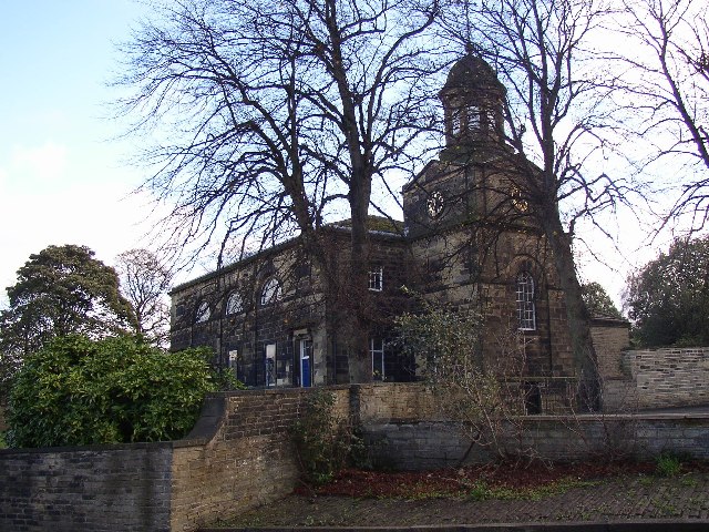
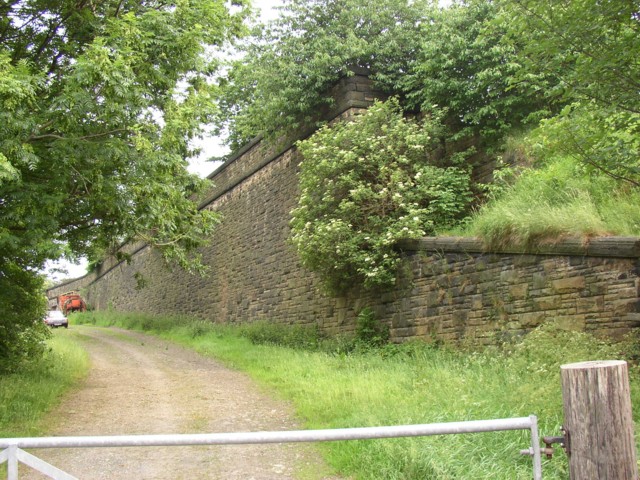
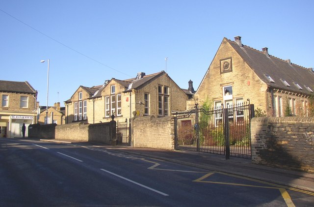
Bradley Wood Images

Images are sourced within 2km of 53.687412/-1.766367 or Grid Reference SE1521. Thanks to Geograph Open Source API. All images are credited.

Weir on the River Calder seen from Cliffe Road. Brighouse This view of the weir is hidden by tree leaves in summer. It powered the former flour mill on the other side of the river.
Weir on the River Calder seen from Cliffe Road. Brighouse
This view of the weir is hidden by tree leaves in summer. It powered the former flour mill on the other side of the river.
The Cabin Cafe, Bridge Road, Brighouse This is in a temporary building on the corner of Bridge Road. There are plans for a new bridge over the canal here, to bypass the present narrow and weak humped-backed bridge on the A643.  The ghost sign on the tall building is for Bridge Road Works, and a telephone number. It is (or has been) used for making wooden sheds and other garden buildings.
The Cabin Cafe, Bridge Road, Brighouse
This is in a temporary building on the corner of Bridge Road. There are plans for a new bridge over the canal here, to bypass the present narrow and weak humped-backed bridge on the A643. The ghost sign on the tall building is for Bridge Road Works, and a telephone number. It is (or has been) used for making wooden sheds and other garden buildings.
The Cliffe, Cliffe Road, Rastrick This was a private house. It became a Conservative Club, but ended its affiliation in 2000 and became the Cliffe Hall Club. It had to close in 2021 following the Covid restrictions. Work is now in progress to restore it as a private house.  (Information from 'A virtual history walk, Lower Rastrick <span class="nowrap"><a title="https://myrastrick.com/a-virtual-history-walk-lower-rastrick/" rel="nofollow ugc noopener" href="https://myrastrick.com/a-virtual-history-walk-lower-rastrick/">Link</a><img style="margin-left:2px;" alt="External link" title="External link - shift click to open in new window" src="https://s1.geograph.org.uk/img/external.png" width="10" height="10"/></span> ).
The Cliffe, Cliffe Road, Rastrick
This was a private house. It became a Conservative Club, but ended its affiliation in 2000 and became the Cliffe Hall Club. It had to close in 2021 following the Covid restrictions. Work is now in progress to restore it as a private house. (Information from 'A virtual history walk, Lower Rastrick LinkExternal link ).
Lower Fell Greave Public footpath through Lower Fell Greave on a sunny summer morning.  There has been a wood here since at least the twelfth century when it was part of the Fountains Abbey estate.
Lower Fell Greave
Public footpath through Lower Fell Greave on a sunny summer morning. There has been a wood here since at least the twelfth century when it was part of the Fountains Abbey estate.
Forget-me-not Children's Hospice, Huddersfield A controversial development in a 'green' strip between the ribbon development off Bradley Road and a large housing estate in Fartown.
Forget-me-not Children's Hospice, Huddersfield
A controversial development in a 'green' strip between the ribbon development off Bradley Road and a large housing estate in Fartown.
The former Woolpack public house
Deighton Mills  from towpath of the Huddersfield Broad Canal
Deighton Mills from towpath of the Huddersfield Broad Canal
Long Hill Road - looking towards Bradford Road
Woodland Track - Long Hill Road
Woodside Lane - off Bradford Road
Woodside Lane - looking towards Bradford Road
Footpath - Woodside Lane
Footpath - The Ghyll
The Ghyll - viewed from The Dell
The Dell - viewed from The Ghyll
The Coppice - The Dell
The Coppice - Viewlands
Show me another place!

Bradley Wood is located at Grid Ref: SE1521 (Lat: 53.687412, Lng: -1.766367)

Division: West Riding

Unitary Authority: Kirklees

Police Authority: West Yorkshire

What 3 Words

///melon.covers.spicy. Near Brighouse, West Yorkshire

Nearby Locations

Bradley Wood Woodhouse

Related Wikis

All Saints Catholic College, Huddersfield

All Saints Catholic College is a Roman Catholic secondary school situated in Bradley Bar, Huddersfield, West Yorkshire, England. == History == All Saints...

Blakeborough's Bridge

Blakeborough's Bridge crosses the River Calder in Brighouse, West Yorkshire, England. It was built in 1962 to link J. Blakeborough and Sons works and offices...

Brighouse railway station

Brighouse railway station serves the town of Brighouse in West Yorkshire, England. The station lies on the Calder Valley line running west from Leeds....

Rastrick

Rastrick is a village in the county of West Yorkshire, England, between Halifax, 5 miles (8 km) north-east and Huddersfield, 4 miles (7 km) south. The...

Clifton Road railway station

Clifton Road was a railway station built by the Lancashire and Yorkshire Railway to serve the village of Clifton north east of Brighouse in West Yorkshire...

Rastrick Independent School

The Rastrick Independent School was a private school in Rastrick in the Metropolitan Borough of Calderdale, West Yorkshire, England. Opened in 1994 the...

Brighouse Bridge

The Brighouse Bridge crosses the River Calder in Brighouse, West Yorkshire, England. It was built in 1825 as part of the Halifax and Huddersfield Turnpike...

Clifton, West Yorkshire

Clifton is a village on the eastern outskirts of Brighouse in the Calderdale district of West Yorkshire, England. == History == Clifton is mentioned as...

Nearby Amenities

Located within 500m of 53.687412,-1.766367
Phone
Emergency: phone
Lat/Long: 53.6852379/-1.7672766
Barrier: yes
Lat/Long: 53.6884314/-1.7711484
Barrier: yes
Lat/Long: 53.6885052/-1.7709072
Golf: pin
Lat/Long: 53.6850399/-1.7636197
Golf: pin
Lat/Long: 53.6856514/-1.7609238
Golf: pin
Lat/Long: 53.6837425/-1.7641156
Golf: pin
Lat/Long: 53.6859579/-1.7596438
The data included in this document is from www.openstreetmap.org. The data is made available under ODbL.

Have you been to Bradley Wood?

Leave your review of Bradley Wood below (or comments, questions and feedback).