Woodhouse
Settlement in Nottinghamshire Bassetlaw
England
Woodhouse
Woodhouse is a small village located in the county of Nottinghamshire, in the East Midlands region of England. It is situated approximately 6 miles east of the city of Nottingham and lies within the Rushcliffe borough.
The village is surrounded by picturesque countryside, boasting rolling hills and lush green fields, making it an attractive location for those seeking a peaceful and rural lifestyle. Woodhouse is well-connected to neighboring towns and cities, with regular bus services and easy access to major road networks.
Historically, Woodhouse was primarily an agricultural community, but in recent years, it has seen residential development and a growth in population. Despite this, the village has managed to retain its rural charm and character, with many traditional cottages and farmhouses still standing.
Woodhouse offers a range of amenities for its residents, including a primary school, a village hall, and a local pub. Nearby, there are also several recreational facilities, such as parks, sports fields, and golf courses, providing opportunities for outdoor activities and leisure pursuits.
The village benefits from a close-knit community spirit, with various social and cultural events organized throughout the year. These include festivals, fairs, and community gatherings, which bring residents together and foster a sense of belonging.
Overall, Woodhouse is an idyllic village offering a tranquil countryside lifestyle, with easy access to nearby urban centers for employment and amenities.
If you have any feedback on the listing, please let us know in the comments section below.
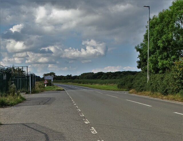
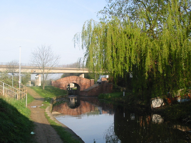
Woodhouse Images
Images are sourced within 2km of 53.31637/-1.1503215 or Grid Reference SK5680. Thanks to Geograph Open Source API. All images are credited.


Woodhouse is located at Grid Ref: SK5680 (Lat: 53.31637, Lng: -1.1503215)
Administrative County: Nottinghamshire
District: Bassetlaw
Police Authority: Nottinghamshire
What 3 Words
///line.kicked.eating. Near Worksop, Nottinghamshire
Nearby Locations
Related Wikis
Rhodesia, Nottinghamshire
Rhodesia is a village and civil parish in the Bassetlaw district of Nottinghamshire, England. The village lies just west of the town of Worksop, and approximately...

Shireoaks Colliery
Shireoaks Colliery was a coal mine situated on the edge of the village of Shireoaks, near Worksop in North Nottinghamshire, close by the Yorkshire border...
Parramore Sports F.C.
Parramore Sports F.C. was an English football club from Sheffield, South Yorkshire, but based later in its existence in Worksop, Nottinghamshire. ��2...
Worksop Town F.C.
Worksop Town Football Club is an English football club based in Worksop, Nottinghamshire. The team play in the Northern Premier League Premier Division...
Outwood Academy Valley
Outwood Academy Valley (formerly Valley Comprehensive School) is a mixed secondary school with academy status, located in Worksop in Nottinghamshire, England...
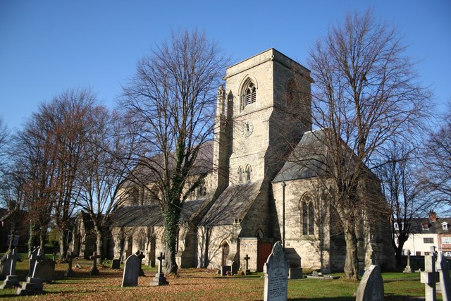
St Luke's Church, Shireoaks
St Luke's Church, Shireoaks is a Grade II listed Church of England parish church in Shireoaks, Nottinghamshire. == History == The church was built in a...

Shireoaks Hall
Shireoaks Hall is a grade II* listed 17th-century country house in the hamlet of Shireoaks, 2+1⁄4 miles (3.6 km) north-west of Worksop, Nottinghamshire...
Gateford
Gateford is a village in Nottinghamshire, England. It is located 1 mile north-west of Worksop and was first recorded by name as Gattef (meaning goats’...
Related Videos

WORKSOP | Full walking tour of Worksop Town Centre
WORKSOP | Full walking tour of Worksop Town Centre, Nottinghamshire We visit the town of Worksop for a walk around the Town ...

Chesterfield Canal Feeder - How Do You Keep a Canal Full?
In this latest video, we look at one of the ways in which the Chesterfield Canal received fresh water and keeps it's water levels ...
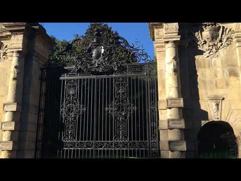
Large impressive gated entrance to Worksop Manor Sparken Hill Worksop Nottinghamshire
worksop #nottinghamshire #travel.

Walking the island
I am not really walking the island.
Nearby Amenities
Located within 500m of 53.31637,-1.1503215Have you been to Woodhouse?
Leave your review of Woodhouse below (or comments, questions and feedback).