Woodhorn Demesne

Settlement in Northumberland

England

Woodhorn Demesne

Lynemouth Power Station Lynemouth power station was formerly coal-fired and has been converted to biomass combustion. It was commissioned in 1972 to supply the Alcan aluminium smelter close by but this closed in 2012 and has been demolished. The power station continues to contribute 420MW to the National Grid - see <span class="nowrap"><a title="https://en.wikipedia.org/wiki/Lynemouth_power_station" rel="nofollow ugc noopener" href="https://en.wikipedia.org/wiki/Lynemouth_power_station">Link</a><img style="margin-left:2px;" alt="External link" title="External link - shift click to open in new window" src="https://s1.geograph.org.uk/img/external.png" width="10" height="10"/></span> for further details.
Lynemouth Power Station Credit: Jim Barton

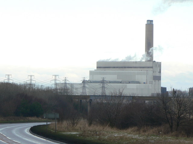
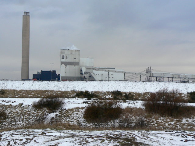
Woodhorn Demesne is a historical site located in Northumberland, England. It is situated approximately 1.5 miles northeast of the town of Ashington. The demesne covers an area of around 40 hectares and is known for its rich history and natural beauty.

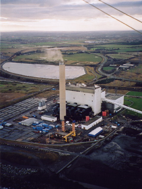
The centerpiece of Woodhorn Demesne is Woodhorn Museum, a former coal mine that has been transformed into a museum showcasing the region's coal mining heritage. The museum features interactive exhibits, artifacts, and displays that provide insight into the lives of miners and the impact of mining on the local community.

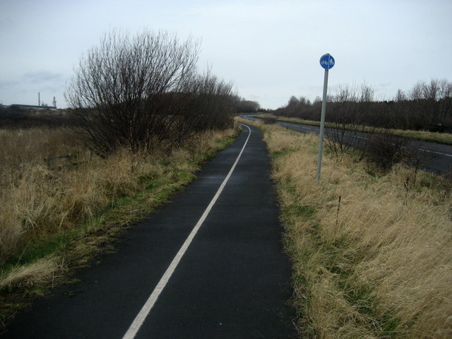
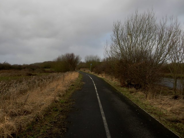
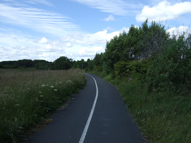
Surrounding the museum are beautiful gardens and woodland areas, making Woodhorn Demesne a popular destination for nature lovers. Visitors can explore the walking trails that meander through the park, offering opportunities to spot wildlife and enjoy the peaceful surroundings.

In addition to its natural attractions, the demesne also hosts various events throughout the year, including art exhibitions, craft fairs, and music performances. These events attract both locals and tourists, adding vibrancy and cultural significance to the area.

Woodhorn Demesne is easily accessible, with ample parking and public transportation options nearby. The site also offers facilities such as a café and gift shop, ensuring visitors have a comfortable and enjoyable experience.

Overall, Woodhorn Demesne is a captivating destination that combines history, nature, and culture. Whether exploring the museum, strolling through the gardens, or attending an event, visitors are sure to be captivated by the charm and significance of this Northumberland gem.

If you have any feedback on the listing, please let us know in the comments section below.

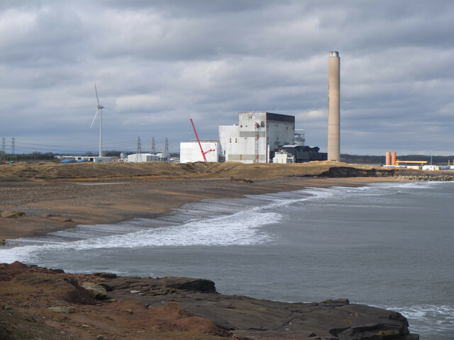
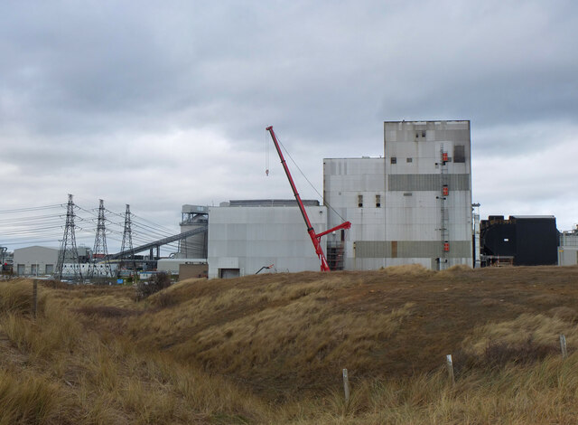
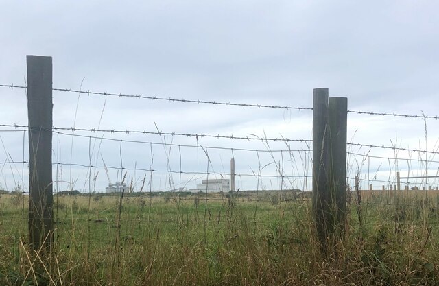
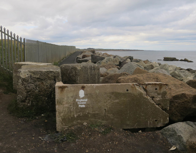
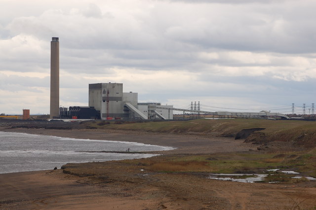
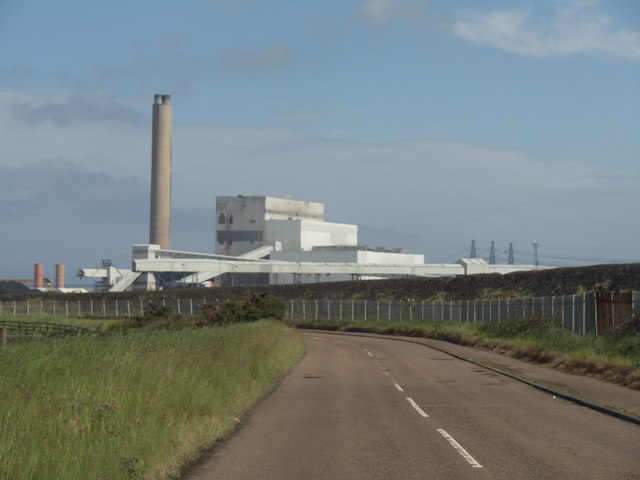
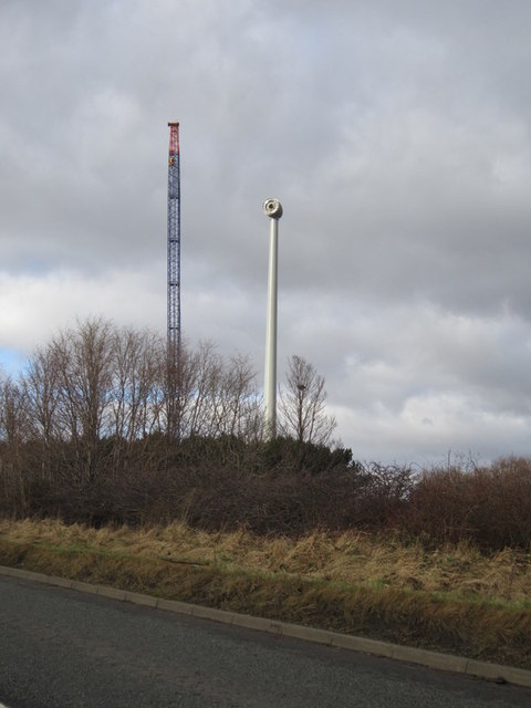
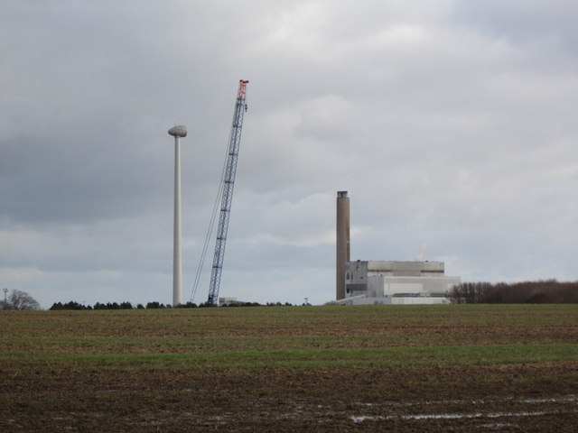
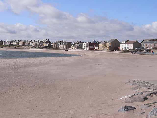
Woodhorn Demesne Images

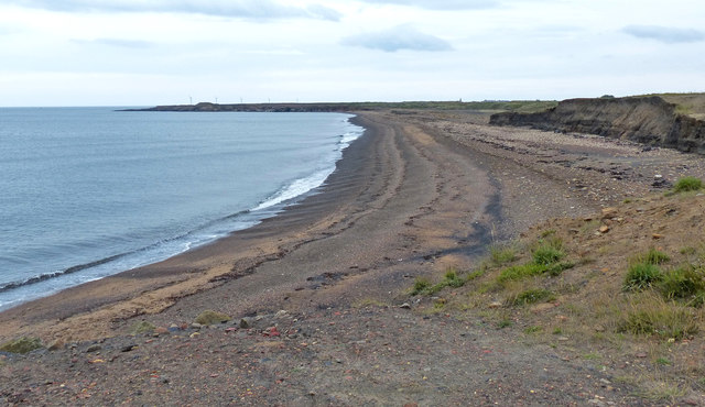
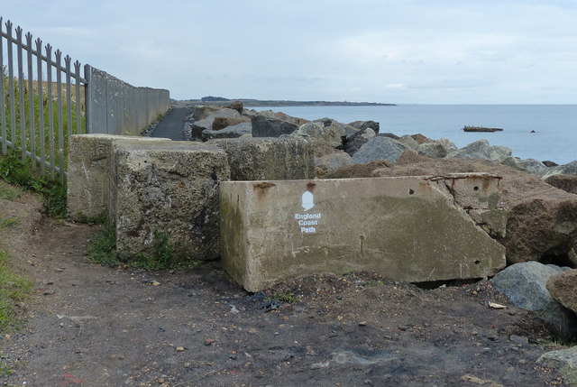
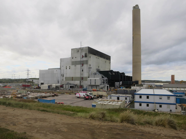
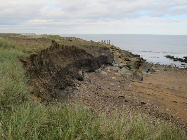
Images are sourced within 2km of 55.188063/-1.520032 or Grid Reference NZ3088. Thanks to Geograph Open Source API. All images are credited.

Lynemouth Power Station Lynemouth power station was formerly coal-fired and has been converted to biomass combustion. It was commissioned in 1972 to supply the Alcan aluminium smelter close by but this closed in 2012 and has been demolished. The power station continues to contribute 420MW to the National Grid - see <span class="nowrap"><a title="https://en.wikipedia.org/wiki/Lynemouth_power_station" rel="nofollow ugc noopener" href="https://en.wikipedia.org/wiki/Lynemouth_power_station">Link</a><img style="margin-left:2px;" alt="External link" title="External link - shift click to open in new window" src="https://s1.geograph.org.uk/img/external.png" width="10" height="10"/></span> for further details.
Lynemouth Power Station
Lynemouth power station was formerly coal-fired and has been converted to biomass combustion. It was commissioned in 1972 to supply the Alcan aluminium smelter close by but this closed in 2012 and has been demolished. The power station continues to contribute 420MW to the National Grid - see LinkExternal link for further details.
Lynemouth Power Station (2) A closer view of the station from the northern edge of the golf course. For more details please see <span class="nowrap"><a title="https://en.wikipedia.org/wiki/Lynemouth_power_station" rel="nofollow ugc noopener" href="https://en.wikipedia.org/wiki/Lynemouth_power_station">Link</a><img style="margin-left:2px;" alt="External link" title="External link - shift click to open in new window" src="https://s1.geograph.org.uk/img/external.png" width="10" height="10"/></span>.
Lynemouth Power Station (2)
A closer view of the station from the northern edge of the golf course. For more details please see LinkExternal link.
Lynemouth Power Station Seen from the A197 at Woodhorn
Lynemouth Power Station
Seen from the A197 at Woodhorn
Alcan Lynemouth Power station Aerial view looking South with Alcan Power station in foreground. This 320 Megawatt Power station supplies the nearby smelter.
Alcan Lynemouth Power station
Aerial view looking South with Alcan Power station in foreground. This 320 Megawatt Power station supplies the nearby smelter.
Cycle Path by Park Road This Cycle Path and Pedestrian Walkway are combined for dual purpose leading towards Lynemouth, on the periphery of the giant Alcan aluminium works.
Cycle Path by Park Road
This Cycle Path and Pedestrian Walkway are combined for dual purpose leading towards Lynemouth, on the periphery of the giant Alcan aluminium works.
Lynemouth Power Station This is a privately owned power station, built in 1972 by Alcan to supply the adjacent aluminium smelter, although it also supplies to the National Grid. Essentially a coal-fired station, taking advantage of local coal supplies, it is also now burning biomass. Although now (2009) the smallest coal-fired unit in the UK, with a 420MW output, it is also considered to be the most thermally efficient. The buildings were designed by the internationally renowned firm of architects, Yorke Rosenberg & Mardall.
Lynemouth Power Station
This is a privately owned power station, built in 1972 by Alcan to supply the adjacent aluminium smelter, although it also supplies to the National Grid. Essentially a coal-fired station, taking advantage of local coal supplies, it is also now burning biomass. Although now (2009) the smallest coal-fired unit in the UK, with a 420MW output, it is also considered to be the most thermally efficient. The buildings were designed by the internationally renowned firm of architects, Yorke Rosenberg & Mardall.
Lynemouth Power Station View of the power station from old colliery spoil tips near the mouth of the River Lyne.
Lynemouth Power Station
View of the power station from old colliery spoil tips near the mouth of the River Lyne.
Footpath beside the minor road passing Lynemouth Power Station Looking along the joint cycleway and footpath which runs alongside the road, passing by Lynemouth Power Station. The bushes on the right hand side separate the road from the path.
Footpath beside the minor road passing Lynemouth Power Station
Looking along the joint cycleway and footpath which runs alongside the road, passing by Lynemouth Power Station. The bushes on the right hand side separate the road from the path.
Lyne Sands near the Lynemouth Power Station
England Coast Path next to the Lynemouth Power Station
Lynemouth Power Station Formerly a coal powered station supplying the nearby aluminium smelter. Now burning biomass after the smelter closed in 2012. See <a href="https://www.geograph.org.uk/photo/3321262">NZ2989 : The Alcan Lynemouth Aluminium Smelter</a>
Lynemouth Power Station
Formerly a coal powered station supplying the nearby aluminium smelter. Now burning biomass after the smelter closed in 2012. See NZ2989 : The Alcan Lynemouth Aluminium Smelter
Coastal defences at Lynemouth Power Station
England Coast Path Past Lynemouth Power Station.
England Coast Path
Past Lynemouth Power Station.
Alcan Lynemouth power station
Lynemouth Power Station
Cycle track towards Lynemouth National Cycle Route 1.
Cycle track towards Lynemouth
National Cycle Route 1.
A new wind turbine being built near Lynemouth
Wind and coal power at Lynemouth
Show me another place!

Woodhorn Demesne is located at Grid Ref: NZ3088 (Lat: 55.188063, Lng: -1.520032)

Unitary Authority: Northumberland

Police Authority: Northumbria

What 3 Words

///reduction.mended.searching. Near Newbiggin-by-the-Sea, Northumberland

Related Wikis

Newbiggin-by-the-Sea railway station

Newbiggin-by-the-Sea railway station, also referred to as Newbiggin station, served the town of Newbiggin-by-the-Sea, Northumberland, England from 1872...

Newbiggin-by-the-Sea

Newbiggin-by-the-Sea is a seaside town and civil parish in Northumberland, England, located on the North Sea coast. The town is a fishing port and formerly...

Woodhorn

Woodhorn is a village and former civil parish, now in the parish of Newbiggin by the Sea, in Northumberland, England, about 2 miles (3 km) east of Ashington...

St Bartholomew's Church, Newbiggin-by-the-Sea

St Bartholomew's Church, Newbiggin-by-the-sea is the parish church of Newbiggin-by-the-Sea, Tyne and Wear, England. The building is part of the Diocese...

Nearby Amenities

Located within 500m of 55.188063,-1.520032
Noexit: yes
Lat/Long: 55.1884413/-1.5235718
Give Way
Direction: forward
Lat/Long: 55.1870566/-1.5136538
Noexit: yes
Lat/Long: 55.1862868/-1.5133458
Noexit: yes
Lat/Long: 55.1880935/-1.5142547
Post Box
Brand: Royal Mail
Brand Wikidata: Q638098
Collection Plate: CP1D
Collection Times: Mo-Fr 09:00, Sa 07:00
Operator: Royal Mail
Operator Wikidata: Q638098
Post Box Type: pillar
Postal Code: NE64 6HQ
Ref: NE64 69D
Royal Cypher: EIIR
Royal Cypher Wikidata: Q33102113
Survey Date: 2024-04-06
Lat/Long: 55.1860682/-1.5149244
Post Box
Brand: Royal Mail
Brand Wikidata: Q638098
Collection Plate: CP1D
Collection Times: Mo-Fr 09:00, Sa 07:00
Operator: Royal Mail
Operator Wikidata: Q638098
Post Box Type: pillar
Postal Code: NE64 6JA
Ref: NE64 176D
Royal Cypher: EIIR
Royal Cypher Wikidata: Q33102113
Survey Date: 2024-04-06
Lat/Long: 55.18809/-1.5206208
Historic: mine
Mineral: coal
Source: NPE
Lat/Long: 55.1897275/-1.5157324
Noexit: yes
Lat/Long: 55.1906958/-1.5207406
Noexit: yes
Lat/Long: 55.1879855/-1.5228089
Noexit: yes
Lat/Long: 55.1877755/-1.5236782
Noexit: yes
Lat/Long: 55.1878708/-1.523255
Noexit: yes
Lat/Long: 55.1878594/-1.52382
Noexit: yes
Lat/Long: 55.1878482/-1.5227841
Noexit: yes
Lat/Long: 55.1887168/-1.5210562
Noexit: yes
Lat/Long: 55.1884408/-1.520581
Noexit: yes
Lat/Long: 55.1855343/-1.5166291
Noexit: yes
Lat/Long: 55.185537/-1.5136189
Traffic Calming: cushion
Lat/Long: 55.1861086/-1.5209405
Barrier: bollard
Lat/Long: 55.1883613/-1.5222229
Turning Circle
Lat/Long: 55.1852778/-1.5236012
Noexit: yes
Lat/Long: 55.1896912/-1.5182253
Crossing
Lat/Long: 55.1847188/-1.5213005
Communication Mobile Phone: yes
Man Made: tower
Tower Type: communication
Lat/Long: 55.1881535/-1.5165232
Noexit: yes
Lat/Long: 55.186629/-1.517983
Barrier: cycle_barrier
Bicycle: yes
Foot: yes
Horse: yes
Lat/Long: 55.188906/-1.516142
Barrier: swing_gate
Bicycle: yes
Foot: yes
Lat/Long: 55.1889113/-1.5161901
Noexit: yes
Lat/Long: 55.1866855/-1.5247338
Noexit: yes
Lat/Long: 55.1863931/-1.5245714
Noexit: yes
Lat/Long: 55.1896125/-1.5201318
Charging Station
Lat/Long: 55.1866631/-1.5168375
Noexit: yes
Lat/Long: 55.1856459/-1.5155406
Noexit: yes
Lat/Long: 55.1855846/-1.5140842
Noexit: yes
Lat/Long: 55.1857852/-1.5137248
Crossing
Lat/Long: 55.1845815/-1.5212435
Newbiggin War Memorial
Historic: memorial
Memorial: war_memorial
Wikidata: Q26670797
Lat/Long: 55.1875435/-1.5182188
Give Way
Direction: forward
Lat/Long: 55.1842617/-1.5199075
Give Way
Direction: forward
Lat/Long: 55.1873788/-1.5181886
Give Way
Direction: forward
Lat/Long: 55.1879377/-1.5206906
Give Way
Direction: forward
Lat/Long: 55.1890129/-1.5216767
Give Way
Direction: forward
Lat/Long: 55.1892993/-1.5208086
Give Way
Direction: forward
Lat/Long: 55.1892027/-1.5219361
Bus: yes
Bus Bay: right
Public Transport: stop_position
Lat/Long: 55.1903089/-1.5226628
Give Way
Direction: forward
Lat/Long: 55.1858944/-1.5142482
Give Way
Direction: backward
Lat/Long: 55.1860293/-1.5150217
Barrier: block
Lat/Long: 55.1852644/-1.5239184
Noexit: yes
Lat/Long: 55.1905409/-1.5217015
Give Way
Direction: backward
Lat/Long: 55.1865081/-1.5146381
Give Way
Direction: forward
Lat/Long: 55.1866993/-1.5144997
Generator Method: photovoltaic
Generator Output Electricity: yes
Generator Source: solar
Generator Type: solar_photovoltaic_panel
Location: roof
Power: generator
Lat/Long: 55.1839476/-1.5204209
Generator Method: photovoltaic
Generator Output Electricity: yes
Generator Source: solar
Generator Type: solar_photovoltaic_panel
Location: roof
Power: generator
Lat/Long: 55.1840058/-1.5204021
Generator Method: photovoltaic
Generator Output Electricity: yes
Generator Source: solar
Generator Type: solar_photovoltaic_panel
Location: roof
Power: generator
Lat/Long: 55.1840793/-1.5203726
Generator Method: photovoltaic
Generator Output Electricity: yes
Generator Source: solar
Generator Type: solar_photovoltaic_panel
Location: roof
Power: generator
Lat/Long: 55.1841314/-1.5203512
Generator Method: photovoltaic
Generator Output Electricity: yes
Generator Source: solar
Generator Type: solar_photovoltaic_panel
Location: roof
Power: generator
Lat/Long: 55.1841896/-1.5203244
Generator Method: photovoltaic
Generator Output Electricity: yes
Generator Source: solar
Generator Type: solar_photovoltaic_panel
Location: roof
Power: generator
Lat/Long: 55.1842493/-1.5202895
Give Way
Direction: forward
Lat/Long: 55.1872456/-1.5136071
Give Way
Direction: forward
Lat/Long: 55.1874532/-1.5127973
Traffic Calming: cushion
Lat/Long: 55.1862646/-1.5149041
Traffic Calming: cushion
Lat/Long: 55.1873558/-1.5131971
Generator Method: photovoltaic
Generator Output Electricity: yes
Generator Source: solar
Generator Type: solar_photovoltaic_panel
Location: roof
Power: generator
Lat/Long: 55.1879007/-1.5139689
Generator Method: photovoltaic
Generator Output Electricity: yes
Generator Source: solar
Generator Type: solar_photovoltaic_panel
Location: roof
Power: generator
Lat/Long: 55.1878303/-1.5143417
Generator Method: photovoltaic
Generator Output Electricity: yes
Generator Source: solar
Generator Type: solar_photovoltaic_panel
Location: roof
Power: generator
Lat/Long: 55.1873602/-1.5147641
Noexit: yes
Lat/Long: 55.1856775/-1.5162815
Noexit: yes
Lat/Long: 55.1856757/-1.5159751
Generator Method: photovoltaic
Generator Output Electricity: yes
Generator Source: solar
Generator Type: solar_photovoltaic_panel
Location: roof
Power: generator
Lat/Long: 55.1880894/-1.5205295
Generator Method: photovoltaic
Generator Output Electricity: yes
Generator Source: solar
Generator Type: solar_photovoltaic_panel
Location: roof
Power: generator
Lat/Long: 55.1888233/-1.5166578
Generator Method: photovoltaic
Generator Output Electricity: yes
Generator Source: solar
Generator Type: solar_photovoltaic_panel
Location: roof
Power: generator
Lat/Long: 55.1892704/-1.5215488
Generator Method: photovoltaic
Generator Output Electricity: yes
Generator Source: solar
Generator Type: solar_photovoltaic_panel
Location: roof
Power: generator
Lat/Long: 55.1874964/-1.5197302
Generator Method: photovoltaic
Generator Output Electricity: yes
Generator Source: solar
Generator Type: solar_photovoltaic_panel
Location: roof
Power: generator
Lat/Long: 55.1872752/-1.5211317
Bus Stop
Newbiggin, Woodhorn Demesne
Bench: no
Bin: no
Bus: yes
Naptan AtcoCode: Z304884
Naptan NaptanCode: nldamwma
Naptan Street: Woodhorn Road
Public Transport: platform
Ref: nldamwma
Shelter: yes
Source: survey
Survey Date: 2024-04-06
Tactile Paving: yes
Lat/Long: 55.1902494/-1.5227825
The data included in this document is from www.openstreetmap.org. The data is made available under ODbL.

Have you been to Woodhorn Demesne?

Leave your review of Woodhorn Demesne below (or comments, questions and feedback).