Wood End

Settlement in Bedfordshire

England

Wood End

A6 The Branston Way at Ridge Road roundabout
A6 The Branston Way at Ridge Road roundabout Credit: Colin Pyle

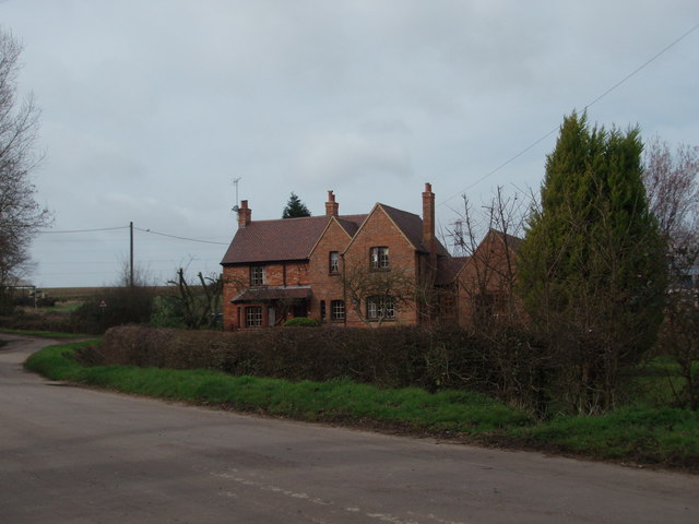
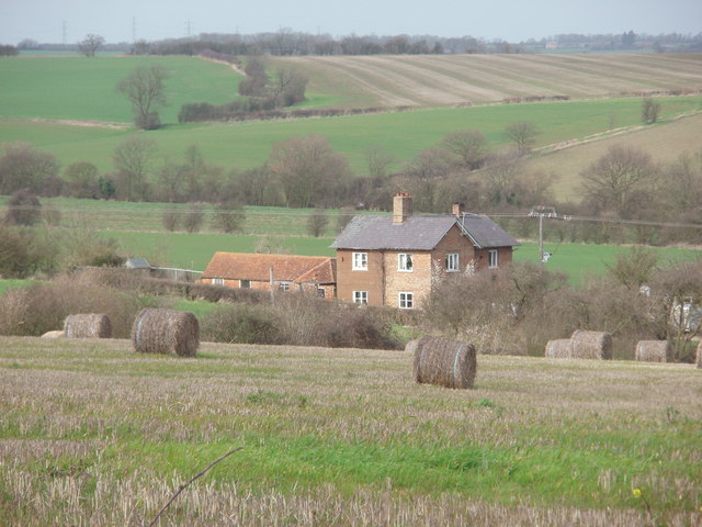
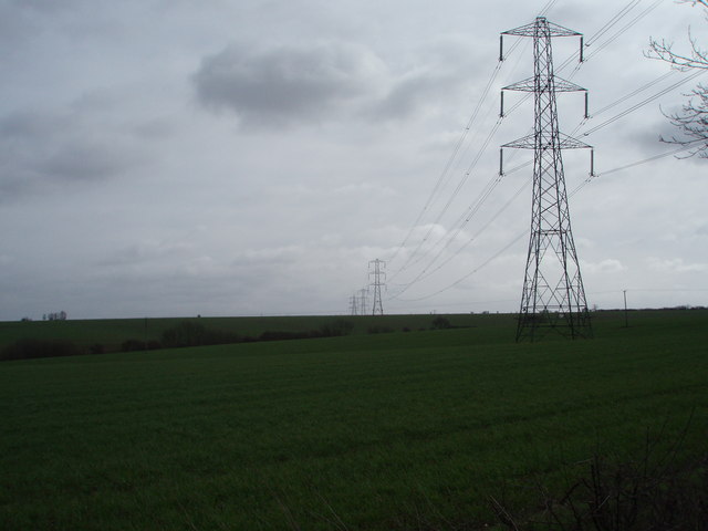
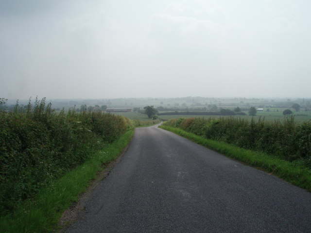
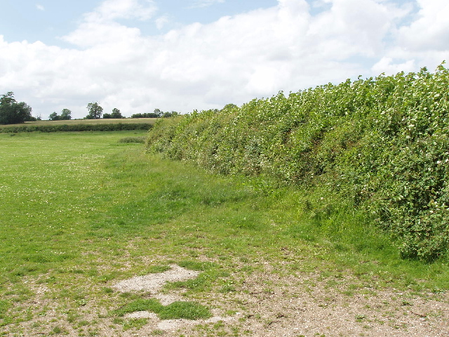
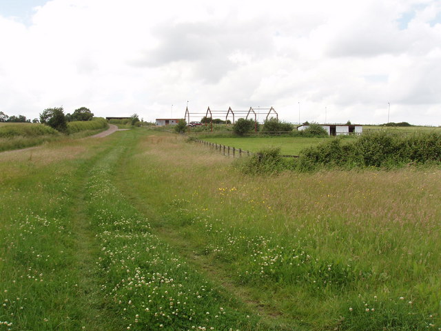
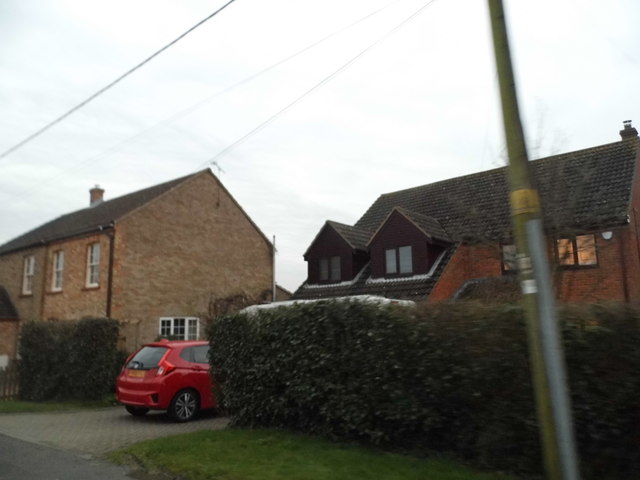
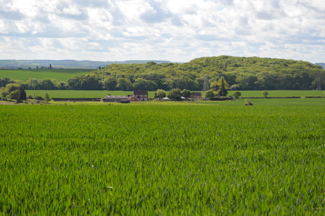
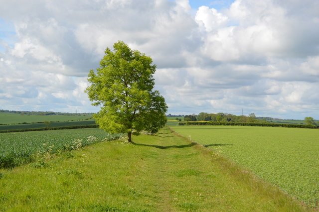
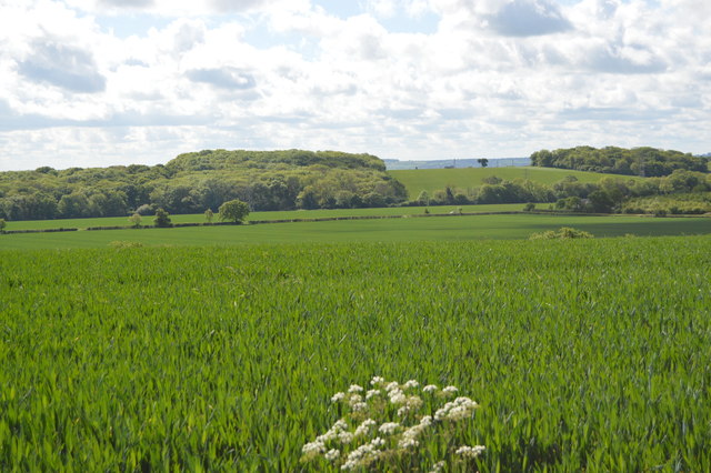
Wood End is a small village located in the county of Bedfordshire, England. Situated about 5 miles west of the town of Bedford, it is part of the civil parish of Marston Moretaine. The village is nestled amidst picturesque countryside, characterized by rolling hills and lush green fields.

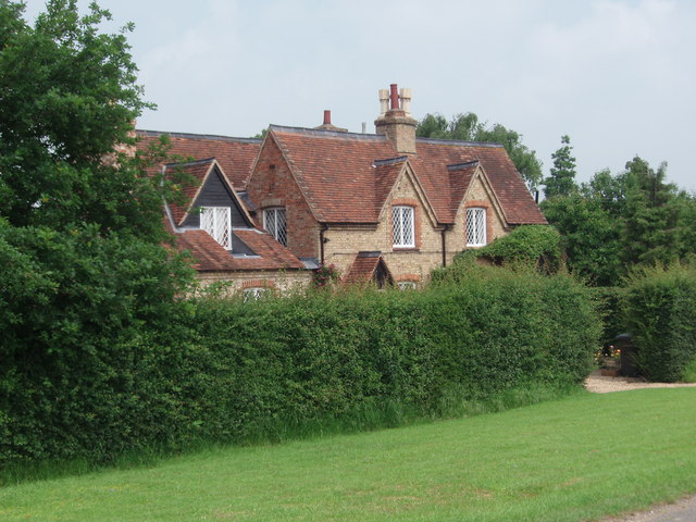
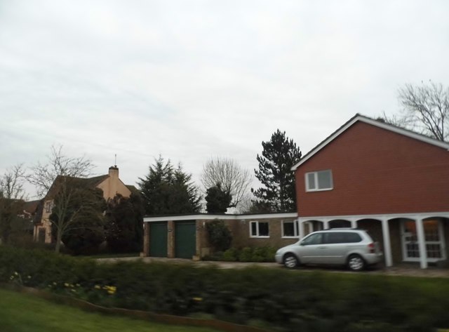
Wood End is a primarily residential area, with a population of around 400 residents. The village is known for its peaceful and tranquil atmosphere, making it an ideal place for those seeking a quieter lifestyle away from the hustle and bustle of urban areas. The community in Wood End is close-knit, with a strong sense of pride in the village and its surroundings.

Although small in size, Wood End does offer some amenities to its residents. These include a local pub, which serves as a social hub for the village, as well as a small convenience store for basic necessities. For more extensive shopping and entertainment options, residents can easily access the nearby town of Bedford.

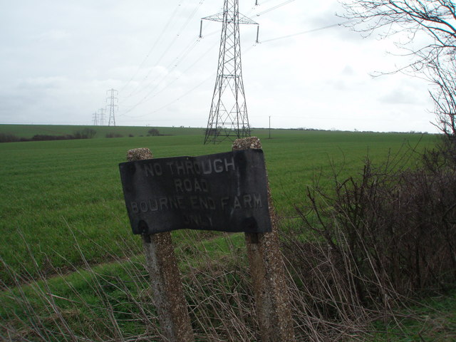
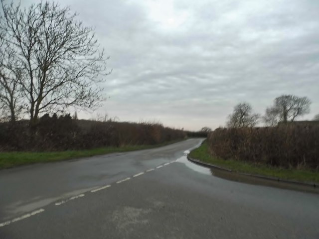
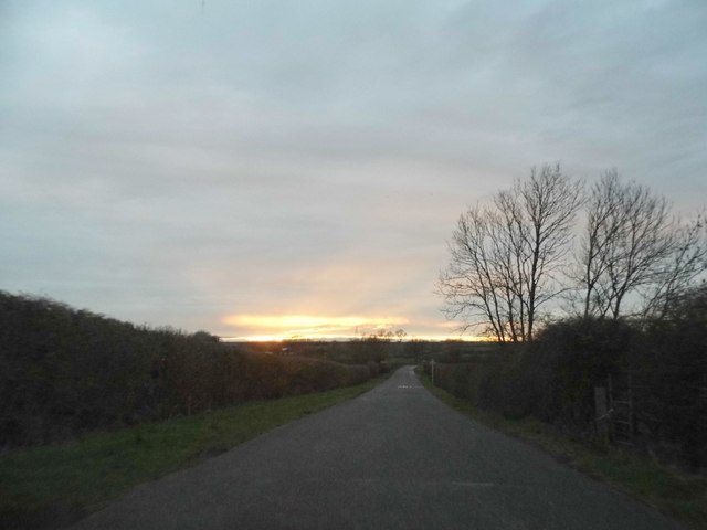
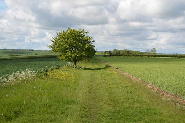
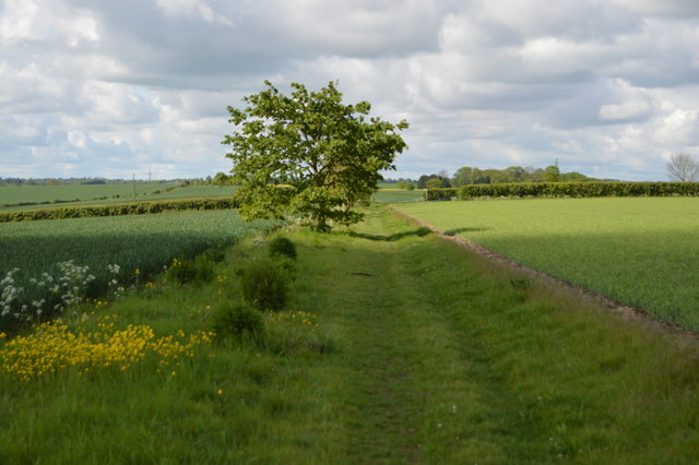
The village is surrounded by beautiful natural landscapes, making it a popular destination for outdoor enthusiasts. There are several walking and cycling paths that crisscross the countryside, providing opportunities for leisurely strolls or more adventurous hikes. Additionally, the nearby Marston Vale Forest Centre offers a range of outdoor activities and events for visitors of all ages.

In summary, Wood End is a charming village in Bedfordshire, known for its tranquil atmosphere, close-knit community, and beautiful natural surroundings. It provides a peaceful retreat for residents while still offering easy access to nearby amenities and recreational opportunities.

If you have any feedback on the listing, please let us know in the comments section below.

Wood End Images

Images are sourced within 2km of 52.106189/-0.54558722 or Grid Reference SP9946. Thanks to Geograph Open Source API. All images are credited.

A6 The Branston Way at Ridge Road roundabout
The Road to Bourne End A house along the road to Wootton Bourne End, near Wootton.
The Road to Bourne End
A house along the road to Wootton Bourne End, near Wootton.
Gadfly Farm Gadfly Farm, Wootton Bourne End.
Gadfly Farm
Gadfly Farm, Wootton Bourne End.
The End of the Road Pylons tower over this old and twisted sign that tell you this is the end of the road.
The End of the Road
Pylons tower over this old and twisted sign that tell you this is the end of the road.
Cables Through the Countryside Pylons carry electric cables through these fields and over the horizon.
Cables Through the Countryside
Pylons carry electric cables through these fields and over the horizon.
B560 The B560 from Stagsden to Kempston Church End.  Taken at the brow of the hill near Kempston West End.
B560
The B560 from Stagsden to Kempston Church End. Taken at the brow of the hill near Kempston West End.
Kempston West End One of three, or four cottages that make up Kempston West End.
Kempston West End
One of three, or four cottages that make up Kempston West End.
Pasture and hedge, Hall End of Wootton A footpath runs up beside the hedge.
Pasture and hedge, Hall End of Wootton
A footpath runs up beside the hedge.
John Bunyan Trail at Hall End, Wootton The John Bunyan Trail is a 75 mile circular path through places associated with John Bunyan.
John Bunyan Trail at Hall End, Wootton
The John Bunyan Trail is a 75 mile circular path through places associated with John Bunyan.
Bourne End Road at the junction of Keeley Lane
Sunset over Keeley Lane, Wood End
Houses on Wood End Road For reasons unknown this whole road and a few nearby were not covered by Streetview.
Houses on Wood End Road
For reasons unknown this whole road and a few nearby were not covered by Streetview.
Houses on Wood End Road
Farmland on West Bedfordshire Ridge
Clay Way The Clay Way is a 11.5 mile linear walk which stretches the length of the Forest of Marston Vale taking in spectacular views of the Vale, Greensand Ridge and other parts of Bedfordshire. The route mainly follows public bridleways and passes through the villages of Bromharn and Cranfield. The walk is situated on the clay soil of the West Bedfordshire Ridge.
Clay Way
The Clay Way is a 11.5 mile linear walk which stretches the length of the Forest of Marston Vale taking in spectacular views of the Vale, Greensand Ridge and other parts of Bedfordshire. The route mainly follows public bridleways and passes through the villages of Bromharn and Cranfield. The walk is situated on the clay soil of the West Bedfordshire Ridge.
West Bedfordshire Ridge
Clay Way The Clay Way is a 11.5 mile linear walk which stretches the length of the Forest of Marston Vale taking in spectacular views of the Vale, Greensand Ridge and other parts of Bedfordshire. The route mainly follows public bridleways and passes through the villages of Bromharn and Cranfield. The walk is situated on the clay soil of the West Bedfordshire Ridge.
Clay Way
The Clay Way is a 11.5 mile linear walk which stretches the length of the Forest of Marston Vale taking in spectacular views of the Vale, Greensand Ridge and other parts of Bedfordshire. The route mainly follows public bridleways and passes through the villages of Bromharn and Cranfield. The walk is situated on the clay soil of the West Bedfordshire Ridge.
Show me another place!

Wood End is located at Grid Ref: SP9946 (Lat: 52.106189, Lng: -0.54558722)

Unitary Authority: Bedford

Police Authority: Bedfordshire

What 3 Words

///smiled.elsewhere.blinks. Near Wootton, Bedfordshire

Related Wikis

Wood End, Bedfordshire

Wood End (or Kempston Wood End) is a small village located in the Borough of Bedford in Bedfordshire, England. The settlement was historically one of the...

Keeley Green

Keeley Green is a hamlet located in the Borough of Bedford in Bedfordshire, England. The settlement is situated directly to the north of the larger village...

Wootton Upper School

Wootton Upper School is an academy school located on Hall End Road, in Wootton, England. It teaches years 9–11 in compulsory education and years 12–13...

Wootton, Bedfordshire

Wootton is a large village and civil parish located to the southwest of Bedford, in the north of Bedfordshire, England. The parish also includes the hamlets...

Related Videos

English countryside walk/village walk in the summer

During lockdown, I finally have more time to enjoy the nature, as we can have an outdoor activity everyday. I took a walk in my ...

Wootton Wander

Local trails Edited by Fish and #insta360 Mapped by #relive.

Christmas 2021 Hilton Close, Kempston

1st Christmas at Hilton Close. 2021.

Box End Wakeboarding Day

Come join us on a trip over to Box End near Bedford in the UK for a quick splash. –––––––––––––––––––––––––––––– Track: ...

Nearby Amenities

Located within 500m of 52.106189,-0.54558722
Wood End
Place: locality
Source: OS_OpenData_StreetView
Wikidata: Q2047497
Lat/Long: 52.108061/-0.5410762
Power: pole
Lat/Long: 52.1087155/-0.5509363
Power: pole
Lat/Long: 52.1087468/-0.5494394
Power: pole
Lat/Long: 52.1087857/-0.5478773
Power: pole
Lat/Long: 52.1088217/-0.5464072
Power: pole
Lat/Long: 52.1092854/-0.5448714
Power: pole
Lat/Long: 52.1097364/-0.5432853
The data included in this document is from www.openstreetmap.org. The data is made available under ODbL.

Have you been to Wood End?

Leave your review of Wood End below (or comments, questions and feedback).