Kempston Rural
Civil Parish in Bedfordshire
England
Kempston Rural
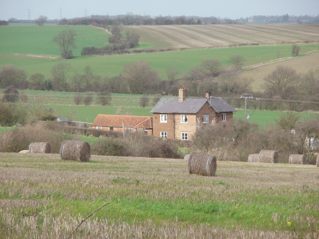
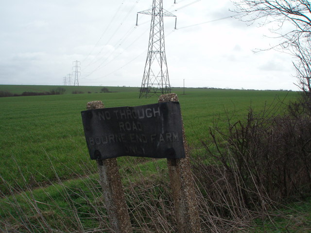
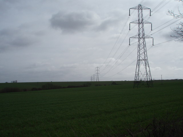
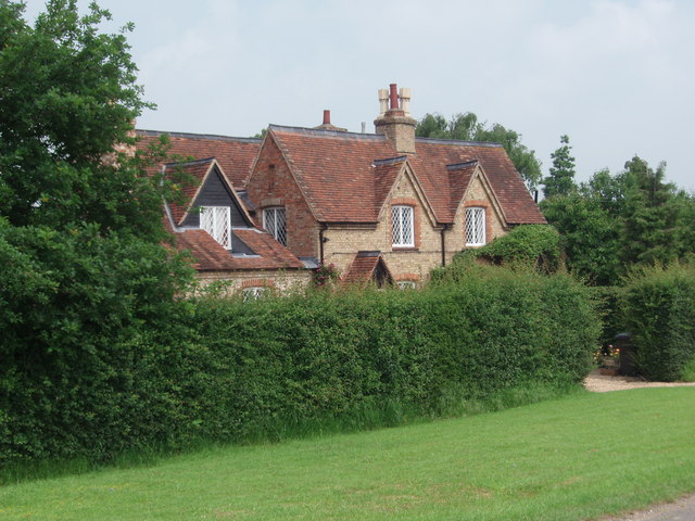
Kempston Rural is a civil parish located in the county of Bedfordshire, England. It is situated approximately 3 miles west of the town of Bedford, and covers an area of about 4.3 square miles. The parish is mostly made up of rural countryside, with a few scattered residential areas.
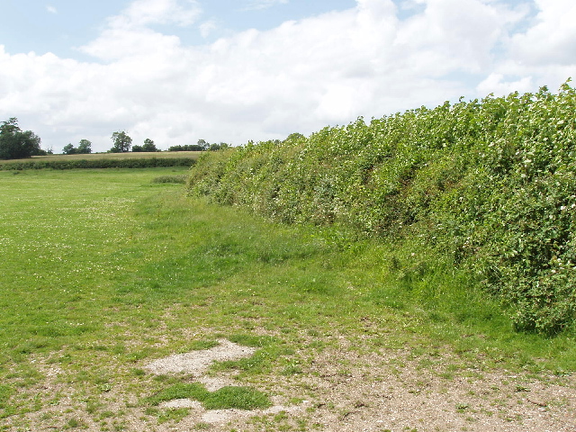
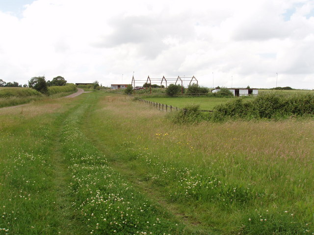
The population of Kempston Rural is relatively small, with around 1,500 residents. The area is known for its picturesque landscapes, including rolling hills, farmland, and woodland areas. It offers a peaceful and serene environment, away from the hustle and bustle of urban life.
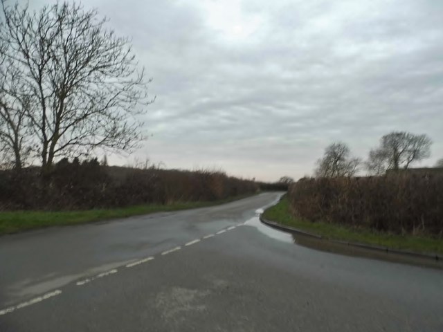
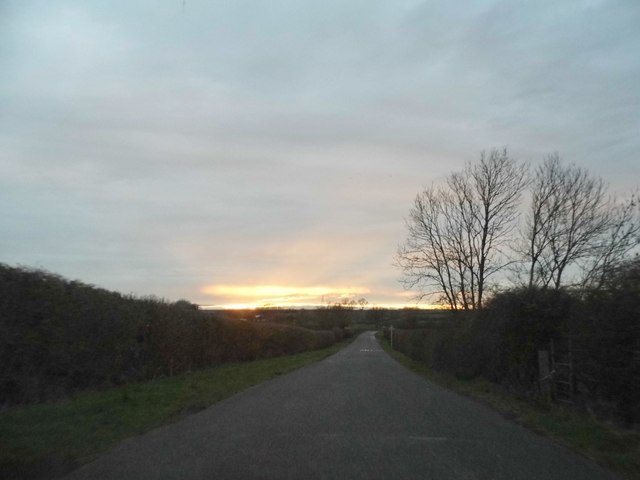
Despite its rural setting, Kempston Rural benefits from its proximity to the town of Bedford. Residents have easy access to the various amenities and services available in Bedford, including schools, shops, and healthcare facilities. The parish is also well-connected to other parts of the county, with good transport links provided by nearby major roads and public transportation.
Kempston Rural is home to several historic landmarks and buildings, such as St. James Church, which dates back to the 13th century. The parish also has a strong sense of community, with various events and activities organized throughout the year, bringing residents together.
Overall, Kempston Rural offers a tranquil and idyllic lifestyle, surrounded by natural beauty, while still providing easy access to the amenities of nearby Bedford.
If you have any feedback on the listing, please let us know in the comments section below.
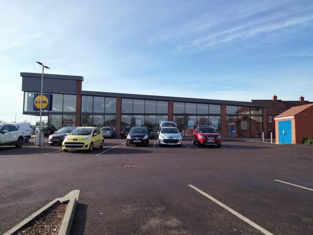
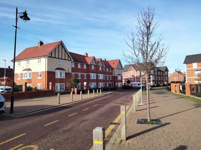
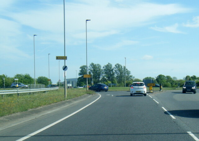
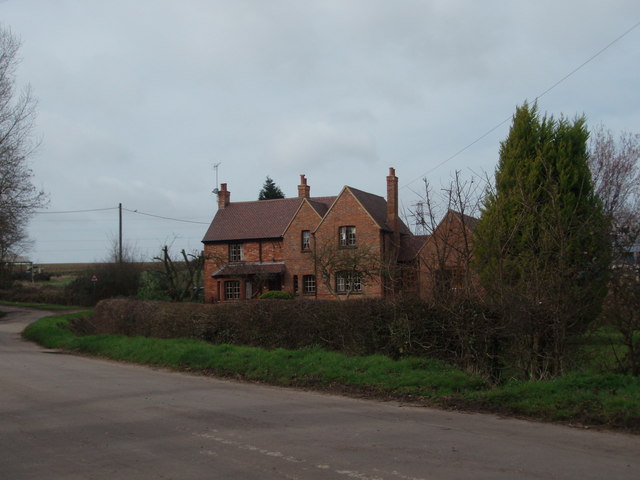
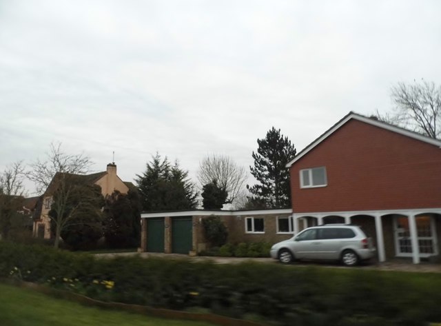
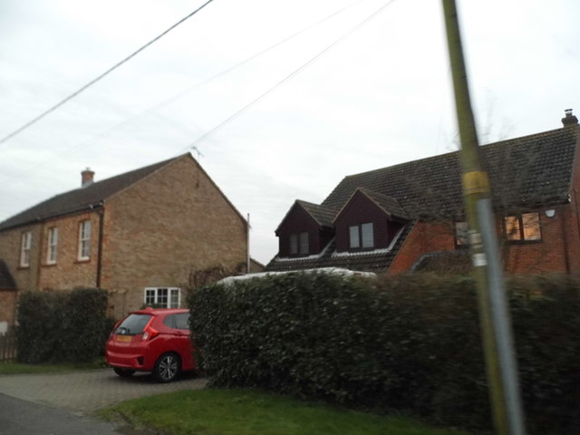
Kempston Rural Images
Images are sourced within 2km of 52.10524/-0.541849 or Grid Reference SP9946. Thanks to Geograph Open Source API. All images are credited.


Kempston Rural is located at Grid Ref: SP9946 (Lat: 52.10524, Lng: -0.541849)
Unitary Authority: Bedford
Police Authority: Bedfordshire
What 3 Words
///regarding.bangle.dwarf. Near Wootton, Bedfordshire
Nearby Locations
Related Wikis

Wood End, Bedfordshire
Wood End (or Kempston Wood End) is a small village located in the Borough of Bedford in Bedfordshire, England. The settlement was historically one of the...
Keeley Green
Keeley Green is a hamlet located in the Borough of Bedford in Bedfordshire, England. The settlement is situated directly to the north of the larger village...

Wootton, Bedfordshire
Wootton is a large village and civil parish located to the southwest of Bedford, in the north of Bedfordshire, England. The parish also includes the hamlets...
Wootton Upper School
Wootton Upper School is an academy school located on Hall End Road, in Wootton, England. It teaches years 9–11 in compulsory education and years 12–13...

Wootton House
Wootton House is a late 17th-century country house in Wootton, Bedfordshire, England. It is a Grade II* listed building.The house is built to a rectangular...
Church of St Mary the Virgin, Wootton, Bedfordshire
Church of St Mary the Virgin is a Grade I listed church in Wootton, Bedfordshire, England. It became a listed building on July 13, 1964.The church is...
Box End
Box End (or Kempston Box End) is a small village located in the Borough of Bedford in Bedfordshire, England. It is in the civil parish of Kempston Rural...
Ridgeway School, Kempston
Ridgeway School is a mixed special school for pupils with physical disabilities located in Kempston, Bedfordshire, England. The school accepts pupils from...
Related Videos

Wootton Wander
Local trails Edited by Fish and #insta360 Mapped by #relive.

English countryside walk/village walk in the summer
During lockdown, I finally have more time to enjoy the nature, as we can have an outdoor activity everyday. I took a walk in my ...

Christmas 2021 Hilton Close, Kempston
1st Christmas at Hilton Close. 2021.
Nearby Amenities
Located within 500m of 52.10524,-0.541849Have you been to Kempston Rural?
Leave your review of Kempston Rural below (or comments, questions and feedback).