Ransom's Wood

Wood, Forest in Bedfordshire

England

Ransom's Wood

The Firs The Firs, Stagsden West End.
The Firs Credit: Richard Schmidt

Ransom's Wood is a picturesque woodland located in Bedfordshire, England. Situated on the outskirts of the village of Heath and Reach, this forested area covers approximately 100 acres and is a popular destination for nature enthusiasts and outdoor lovers.

The woodland is primarily composed of oak and beech trees, creating a dense and vibrant canopy that provides a haven for a diverse range of wildlife. Visitors can expect to encounter a variety of bird species, such as woodpeckers and owls, as well as small mammals like foxes, badgers, and squirrels. The forest floor is carpeted with ferns, bluebells, and other wildflowers, adding to the enchanting atmosphere.

Ransom's Wood offers a network of well-maintained footpaths and trails, making it an ideal location for walkers, hikers, and joggers. The paths wind their way through the woodland, providing opportunities to explore the different sections and discover hidden gems along the way. Picnic areas are scattered throughout the wood, offering visitors a chance to relax and enjoy the tranquil surroundings.

The wood is managed and maintained by the local authorities who strive to preserve its natural beauty and protect its inhabitants. Conservation efforts are in place to ensure the long-term sustainability of the woodland and its ecosystem.

Overall, Ransom's Wood is a captivating and peaceful retreat, offering a glimpse into the beauty of nature in Bedfordshire. Whether you are seeking a place for a leisurely stroll or a spot to reconnect with the outdoors, this woodland is sure to provide a memorable experience.

If you have any feedback on the listing, please let us know in the comments section below.

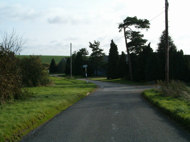
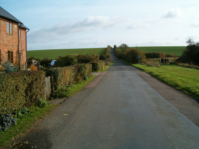
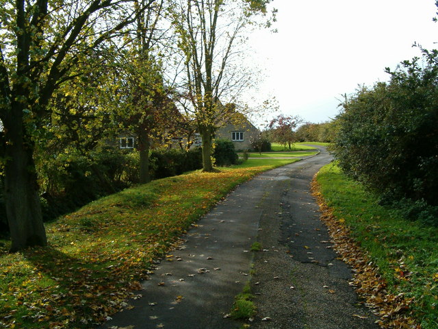
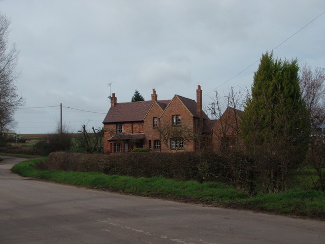
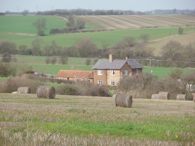
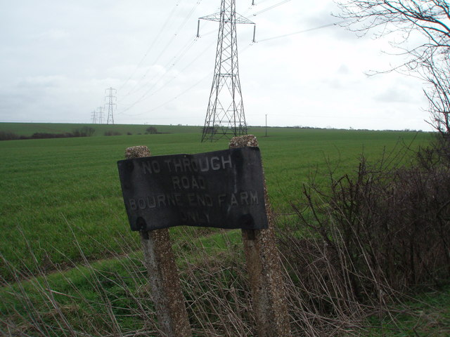
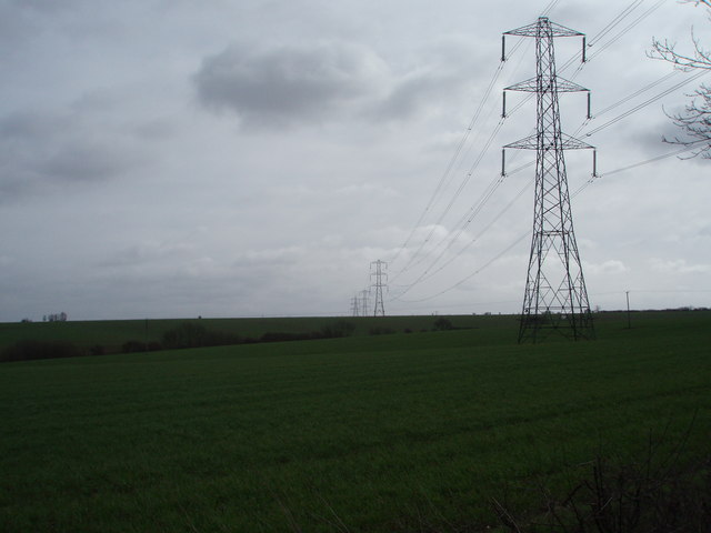
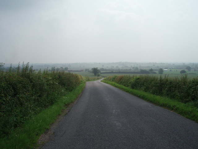
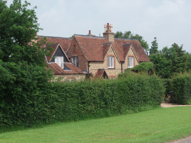
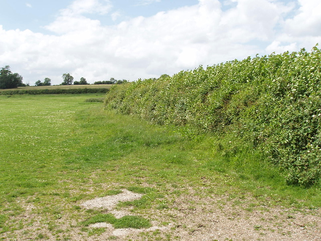
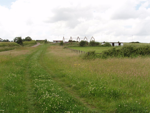
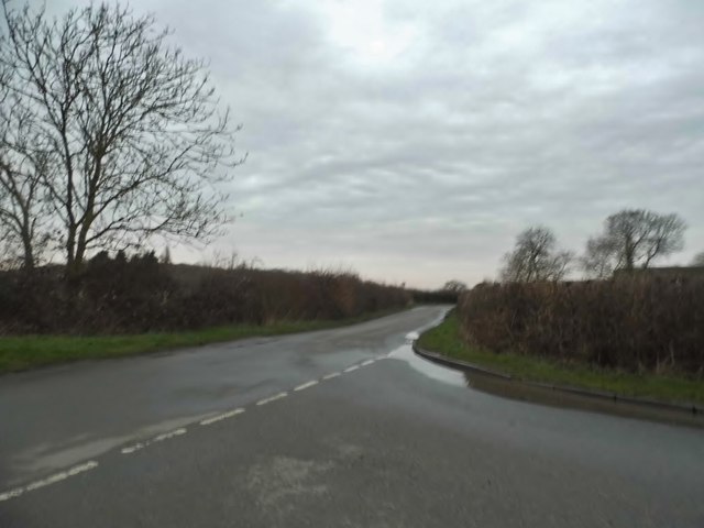
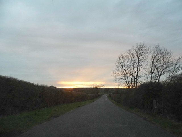
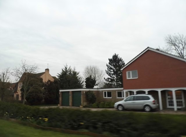
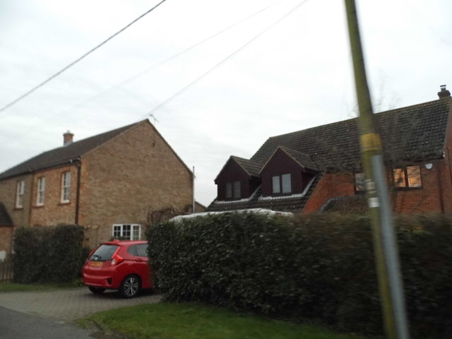
Ransom's Wood Images

Images are sourced within 2km of 52.110226/-0.55138476 or Grid Reference SP9946. Thanks to Geograph Open Source API. All images are credited.

The Firs The Firs, Stagsden West End.
The Firs
The Firs, Stagsden West End.
Rural Road The road rises up the hill from The Firs.
Rural Road
The road rises up the hill from The Firs.
Stagsden West End The narrow road leading through Stagsden West End.
Stagsden West End
The narrow road leading through Stagsden West End.
The Road to Bourne End A house along the road to Wootton Bourne End, near Wootton.
The Road to Bourne End
A house along the road to Wootton Bourne End, near Wootton.
Gadfly Farm Gadfly Farm, Wootton Bourne End.
Gadfly Farm
Gadfly Farm, Wootton Bourne End.
The End of the Road Pylons tower over this old and twisted sign that tell you this is the end of the road.
The End of the Road
Pylons tower over this old and twisted sign that tell you this is the end of the road.
Cables Through the Countryside Pylons carry electric cables through these fields and over the horizon.
Cables Through the Countryside
Pylons carry electric cables through these fields and over the horizon.
B560 The B560 from Stagsden to Kempston Church End.  Taken at the brow of the hill near Kempston West End.
B560
The B560 from Stagsden to Kempston Church End. Taken at the brow of the hill near Kempston West End.
Kempston West End One of three, or four cottages that make up Kempston West End.
Kempston West End
One of three, or four cottages that make up Kempston West End.
Pasture and hedge, Hall End of Wootton A footpath runs up beside the hedge.
Pasture and hedge, Hall End of Wootton
A footpath runs up beside the hedge.
John Bunyan Trail at Hall End, Wootton The John Bunyan Trail is a 75 mile circular path through places associated with John Bunyan.
John Bunyan Trail at Hall End, Wootton
The John Bunyan Trail is a 75 mile circular path through places associated with John Bunyan.
Bourne End Road at the junction of Keeley Lane
Sunset over Keeley Lane, Wood End
Houses on Wood End Road For reasons unknown this whole road and a few nearby were not covered by Streetview.
Houses on Wood End Road
For reasons unknown this whole road and a few nearby were not covered by Streetview.
Houses on Wood End Road
Clay Way sign The Clay Way is a 11.5 mile linear walk which stretches the length of the Forest of Marston Vale taking in spectacular views of the Vale, Greensand Ridge and other parts of Bedfordshire. The route mainly follows public bridleways and passes through the villages of Bromharn and Cranfield. The walk is situated on the clay soil of the West Bedfordshire Ridge.
Clay Way sign
The Clay Way is a 11.5 mile linear walk which stretches the length of the Forest of Marston Vale taking in spectacular views of the Vale, Greensand Ridge and other parts of Bedfordshire. The route mainly follows public bridleways and passes through the villages of Bromharn and Cranfield. The walk is situated on the clay soil of the West Bedfordshire Ridge.
Hedge, West Bedfordshire Ridge
Clay Way
Clay Way
Show me another place!

Ransom's Wood is located at Grid Ref: SP9946 (Lat: 52.110226, Lng: -0.55138476)

Unitary Authority: Bedford

Police Authority: Bedfordshire

What 3 Words

///moons.cooked.airfields. Near Wootton, Bedfordshire

Related Wikis

Wood End, Bedfordshire

Wood End (or Kempston Wood End) is a small village located in the Borough of Bedford in Bedfordshire, England. The settlement was historically one of the...

Box End

Box End (or Kempston Box End) is a small village located in the Borough of Bedford in Bedfordshire, England. It is in the civil parish of Kempston Rural...

Keeley Green

Keeley Green is a hamlet located in the Borough of Bedford in Bedfordshire, England. The settlement is situated directly to the north of the larger village...

Wootton Upper School

Wootton Upper School is an academy school located on Hall End Road, in Wootton, England. It teaches years 9–11 in compulsory education and years 12–13...

Nearby Amenities

Located within 500m of 52.110226,-0.55138476
Power: tower
Lat/Long: 52.1128693/-0.5522533
Power: tower
Lat/Long: 52.1083634/-0.5531331
Power: tower
Lat/Long: 52.1112099/-0.5525725
Power: tower
Lat/Long: 52.1062548/-0.5535515
Power: pole
Lat/Long: 52.1080559/-0.5561958
Power: pole
Lat/Long: 52.1088406/-0.5549594
Power: pole
Lat/Long: 52.108764/-0.5526088
Power: pole
Lat/Long: 52.1087155/-0.5509363
Power: pole
Lat/Long: 52.1087468/-0.5494394
Power: pole
Lat/Long: 52.1087857/-0.5478773
Power: pole
Lat/Long: 52.1088217/-0.5464072
Power: pole
Lat/Long: 52.1092854/-0.5448714
The data included in this document is from www.openstreetmap.org. The data is made available under ODbL.

Have you been to Ransom's Wood?

Leave your review of Ransom's Wood below (or comments, questions and feedback).