Wood End

Settlement in Bedfordshire

England

Wood End

Kent Close, Westoning
Kent Close, Westoning Credit: David Howard

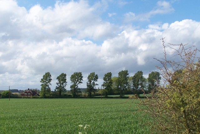
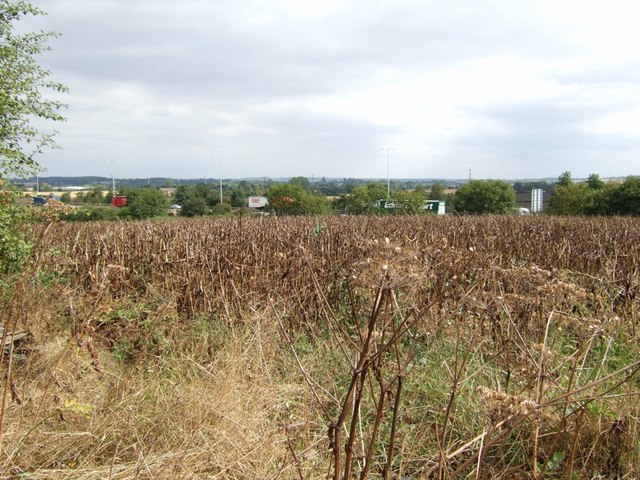
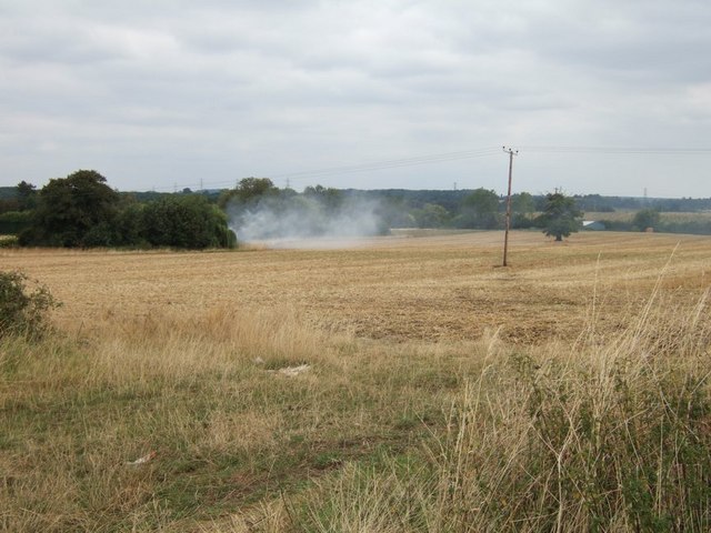
Wood End is a small village located in Bedfordshire, England. Situated approximately 3 miles south of the town of Flitwick, it is part of the Central Bedfordshire district. The village is surrounded by picturesque countryside, with rolling hills and fields creating a scenic backdrop.

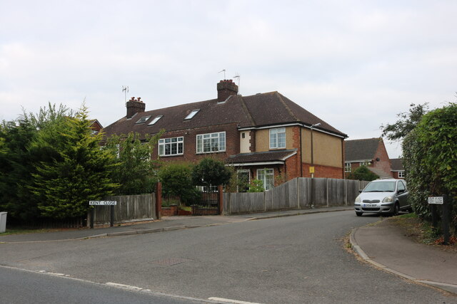
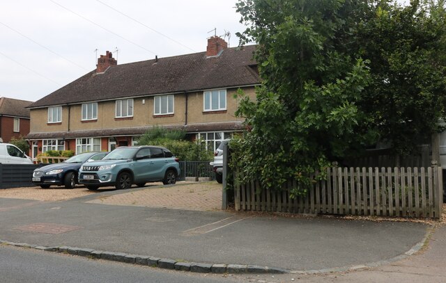
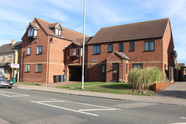
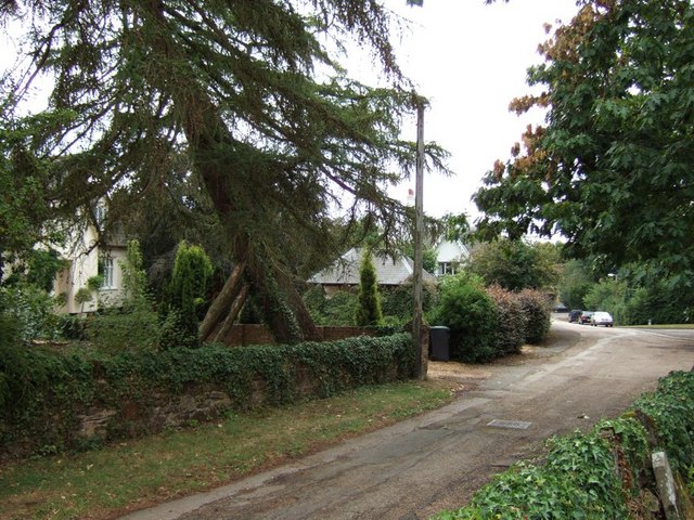
Wood End is a close-knit community with a population of around 500 residents. The village is primarily residential, consisting of a mix of traditional cottages and newer, modern homes. The architecture reflects the village's rich history, with some properties dating back several centuries.

Despite its small size, Wood End boasts several amenities for its residents. There is a village hall which serves as a hub for community events and gatherings. The village also has a local pub, providing a social space for residents to enjoy a drink or a meal.

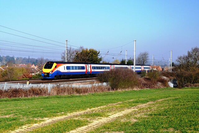
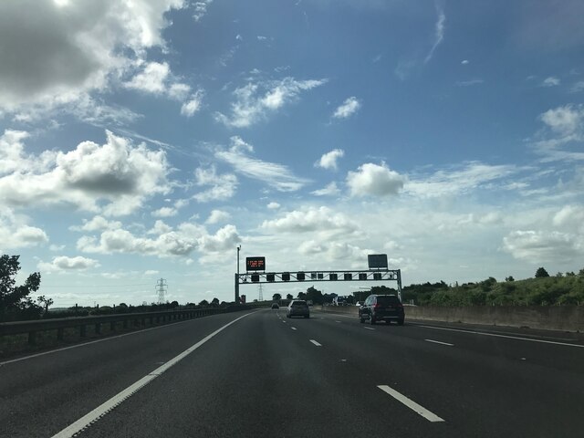
Wood End benefits from its proximity to the town of Flitwick, where residents can access a wider range of amenities, including shops, supermarkets, and schools. The village is well-connected with good transportation links, including a nearby train station providing regular services to London and other major cities.

The surrounding area offers opportunities for outdoor activities, with several walking trails and nature reserves nearby. The village's rural location also provides a peaceful and tranquil environment, making it an attractive place to live for those seeking a quieter lifestyle away from the hustle and bustle of larger towns and cities.

If you have any feedback on the listing, please let us know in the comments section below.

Wood End Images

Images are sourced within 2km of 51.978388/-0.51900739 or Grid Reference TL0132. Thanks to Geograph Open Source API. All images are credited.

Kent Close, Westoning
Houses on Park Road, Westoning
An East Midlands train near Westoning An East Midlands EMU passing Westoning on its way from the Midlands to London St. Pancras.
An East Midlands train near Westoning
An East Midlands EMU passing Westoning on its way from the Midlands to London St. Pancras.
Matrix gantry - M1 southbound
Footbridge over M1 southbound
Matrix gantry - M1 southbound
Field access track Wood House is in Daintry Wood uses this track.
Field access track
Wood House is in Daintry Wood uses this track.
Westoria Court, Westoning Here is an earlier visit. <a title="https://www.geograph.org.uk/photo/5060166" href="https://www.geograph.org.uk/photo/5060166">Link</a>
Westoria Court, Westoning
Here is an earlier visit. Link
Sampshill Road, Westoning From Park Road
Sampshill Road, Westoning
From Park Road
Southbound M1 near to Tingrith The M1 is a north–south motorway connecting London to Leeds, where it joins the A1(M) near Aberford. It was the first motorway to be completed in the United Kingdom.
The motorway is 193 miles long and was constructed in four phases. Most of the motorway was opened between 1959 and 1968 but the southern end was extended in 1977 and the northern end was extended in 1999.
Southbound M1 near to Tingrith
The M1 is a north–south motorway connecting London to Leeds, where it joins the A1(M) near Aberford. It was the first motorway to be completed in the United Kingdom. The motorway is 193 miles long and was constructed in four phases. Most of the motorway was opened between 1959 and 1968 but the southern end was extended in 1977 and the northern end was extended in 1999.
Bridge Over the M1 near Tingrith The M1 is a north–south motorway connecting London to Leeds, where it joins the A1(M) near Aberford. It was the first motorway to be completed in the United Kingdom.
The motorway is 193 miles long and was constructed in four phases. Most of the motorway was opened between 1959 and 1968 but the southern end was extended in 1977 and the northern end was extended in 1999.
Bridge Over the M1 near Tingrith
The M1 is a north–south motorway connecting London to Leeds, where it joins the A1(M) near Aberford. It was the first motorway to be completed in the United Kingdom. The motorway is 193 miles long and was constructed in four phases. Most of the motorway was opened between 1959 and 1968 but the southern end was extended in 1977 and the northern end was extended in 1999.
Southbound M1, Sign Gantry at Toddington Junction The sign gantry at junction 12 of the M1 (Toddington and Flitwick).
Southbound M1, Sign Gantry at Toddington Junction
The sign gantry at junction 12 of the M1 (Toddington and Flitwick).
Trees feeling the force of the wind strong winds blowing from left to right
Trees feeling the force of the wind
strong winds blowing from left to right
Westoning : The Clock Tower This Clock Tower is well endowed with informative tablets and plaques. It was originally erected by "J.G. Coventry Campion and his wife" (though I doubt that they personally laid the bricks) to commemorate the Diamond Jubilee of Queen Victoria in 1897. It was renovated in both 1975 and 2003 the latter perhaps to mark 50 years since Queen Elizabeth II's coronation.
Westoning : The Clock Tower
This Clock Tower is well endowed with informative tablets and plaques. It was originally erected by "J.G. Coventry Campion and his wife" (though I doubt that they personally laid the bricks) to commemorate the Diamond Jubilee of Queen Victoria in 1897. It was renovated in both 1975 and 2003 the latter perhaps to mark 50 years since Queen Elizabeth II's coronation.
The M1 viewed from Long Lane The M1 sweeps close to Long Lane here. A nearby footpath goes under the motorway by a subway. The intervening field looks dry and parched, but I think it has been left fallow as what is growing does not look like a crop !
The M1 viewed from Long Lane
The M1 sweeps close to Long Lane here. A nearby footpath goes under the motorway by a subway. The intervening field looks dry and parched, but I think it has been left fallow as what is growing does not look like a crop !
Fields off Long Lane A view from Long Lane between Toddington and Tingrith. The fields here look to have been harvested already and everywhere is looking very dry after the hot weeks of June and July. The bonfire smoke is emanating from the adjacent gridsquare.
Fields off Long Lane
A view from Long Lane between Toddington and Tingrith. The fields here look to have been harvested already and everywhere is looking very dry after the hot weeks of June and July. The bonfire smoke is emanating from the adjacent gridsquare.
Church Road, Tingrith A view down the lovely road that leads to the church. Taken from the churchyard. Most of the houses along this lane are of the same style, and may well have been tied to a local estate at one time.
Church Road, Tingrith
A view down the lovely road that leads to the church. Taken from the churchyard. Most of the houses along this lane are of the same style, and may well have been tied to a local estate at one time.
Motorway Bridge, Tingrith A view under the motorway bridge to the northeast of Tingrith. The motorway here is the M1. On the far side of the bridge can be seen the road junction as another lane joins from the left.
Motorway Bridge, Tingrith
A view under the motorway bridge to the northeast of Tingrith. The motorway here is the M1. On the far side of the bridge can be seen the road junction as another lane joins from the left.
Show me another place!

Wood End is located at Grid Ref: TL0132 (Lat: 51.978388, Lng: -0.51900739)

Unitary Authority: Central Bedfordshire

Police Authority: Bedfordshire

What 3 Words

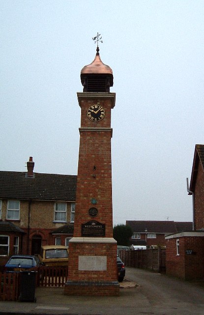
///duplicity.importing.lighters. Near Westoning, Bedfordshire

Nearby Locations

Wood End

Related Wikis

Tingrith

Tingrith is a small village and civil parish in Bedfordshire, England. It is located adjacent to the M1 motorway near the large village of Toddington....

Church of St Nicholas, Tingrith

The Church of St Nicholas is a Grade I listed church in Tingrith, Bedfordshire, England. It became a listed building on 23 January 1961.The brown sandstone...

Westoning

Westoning () is a village and civil parish in Bedfordshire, England. It is located around 0.5 miles (0.8 km) south of the town of Flitwick. The River Flit...
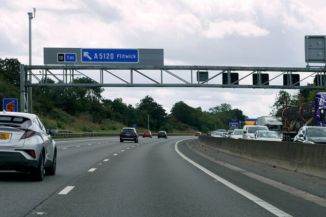
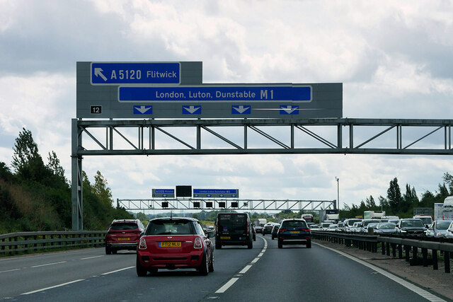
A5120 road

The A5120 is an A-class road in Bedfordshire, linking the conjoined towns of Ampthill and Flitwick to the M1 motorway at Toddington. It connects with the...

Nearby Amenities

Located within 500m of 51.978388,-0.51900739
Power: tower
Lat/Long: 51.9787877/-0.5247151
Power: tower
Lat/Long: 51.9760083/-0.5238675
Power: tower
Lat/Long: 51.9810917/-0.5148919
Power: tower
Lat/Long: 51.9783961/-0.5129408
Barrier: kissing_gate
Bicycle: no
Foot: designated
Horse: no
Motor Vehicle: no
Lat/Long: 51.9769973/-0.5167799
Power: pole
Lat/Long: 51.9760846/-0.5190986
Power: pole
Lat/Long: 51.9764977/-0.5194876
Power: pole
Lat/Long: 51.9782291/-0.5194527
Power: pole
Lat/Long: 51.9780193/-0.5201018
Power: pole
Lat/Long: 51.9777351/-0.5212605
Power: pole
Lat/Long: 51.9756517/-0.5211881
Power: pole
Lat/Long: 51.9767818/-0.5209762
Power: pole
Lat/Long: 51.977869/-0.5206972
Power: pole
Lat/Long: 51.9787347/-0.5219579
Power: pole
Lat/Long: 51.9796351/-0.5231702
Power: pole
Lat/Long: 51.9807007/-0.5238864
Communication Mobile Phone: yes
Man Made: tower
Tower Construction: mast
Tower Type: communication
Lat/Long: 51.9784888/-0.5255084
Colour: red
Marker: post
Material: concrete
Utility: gas
Lat/Long: 51.9811131/-0.5175612
Colour: yellow
Marker: post
Material: plastic
Utility: gas
Lat/Long: 51.9810813/-0.517507
The data included in this document is from www.openstreetmap.org. The data is made available under ODbL.

Have you been to Wood End?

Leave your review of Wood End below (or comments, questions and feedback).