Willis Elm
Settlement in Gloucestershire Stroud
England
Willis Elm
Willis Elm is a small village located in the county of Gloucestershire, England. Situated in the South West of the country, it is nestled between the larger towns of Cheltenham and Gloucester. The village is part of the Tewkesbury Borough and falls within the Elmstone Hardwicke civil parish.
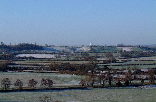
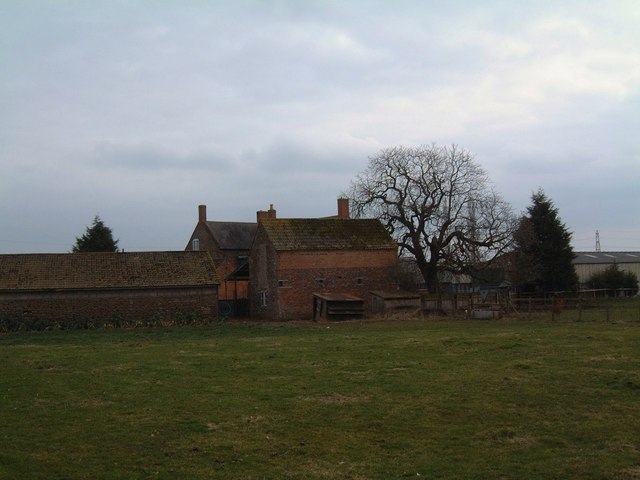
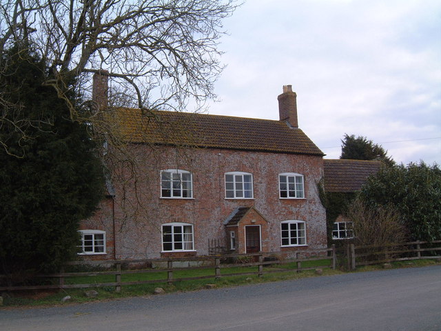
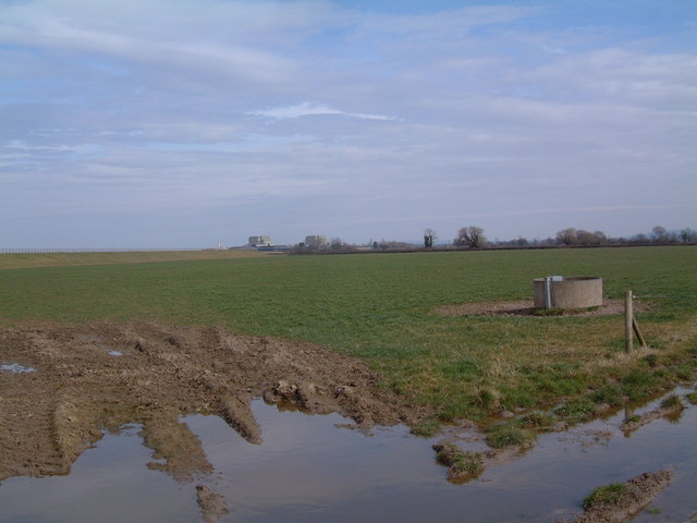
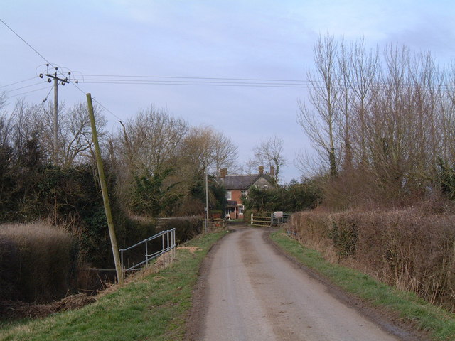
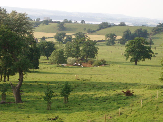
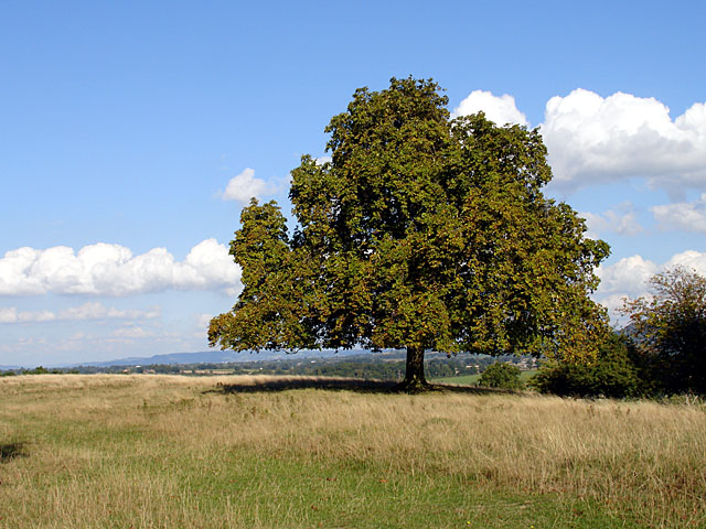
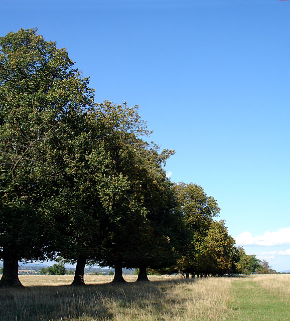
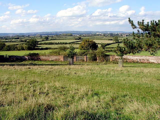
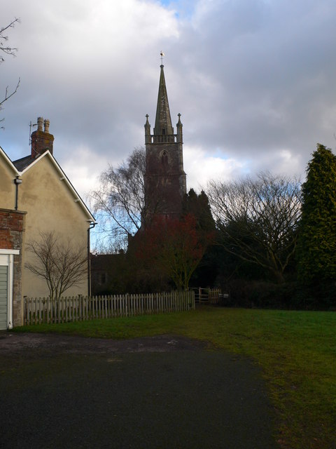
With a population of around 400 residents, Willis Elm has a tight-knit community that values its rural setting. The village is primarily made up of traditional stone cottages and houses, giving it a charming and picturesque appearance. The surrounding countryside is characterized by rolling hills, meadows, and farmland, adding to the village's scenic beauty.
Although small, Willis Elm has its own primary school, providing education for the local children. There is also a village hall that serves as a community hub, hosting various events and activities throughout the year. Additionally, the village has a local pub, serving as a meeting place for residents and visitors alike.
The nearby towns of Cheltenham and Gloucester offer a range of amenities, including shopping centers, restaurants, and leisure facilities. Willis Elm benefits from its proximity to these larger towns while still maintaining a peaceful and rural atmosphere.
Overall, Willis Elm is a tranquil village with a strong sense of community and a beautiful countryside setting. Its location provides residents with a peaceful retreat while still being within reach of the amenities offered by nearby towns.
If you have any feedback on the listing, please let us know in the comments section below.
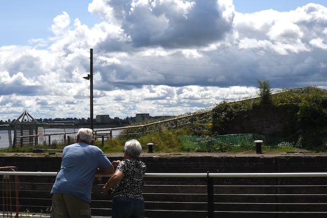
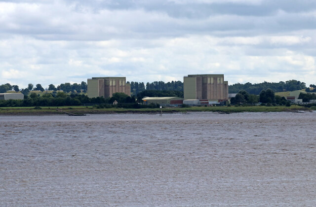
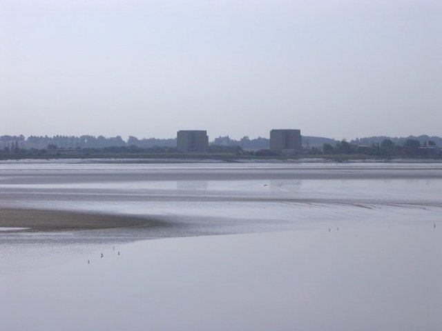
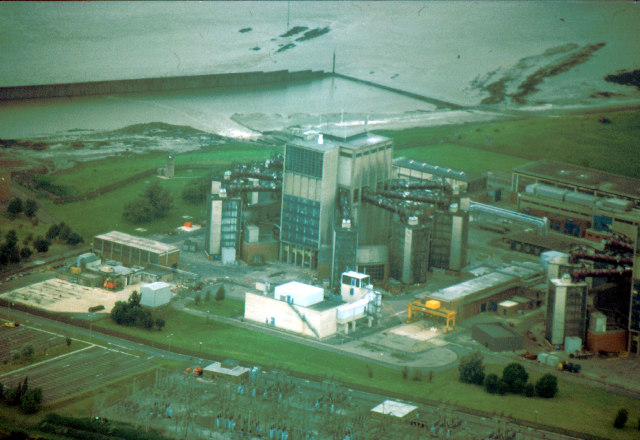
Willis Elm Images
Images are sourced within 2km of 51.678499/-2.4943908 or Grid Reference ST6597. Thanks to Geograph Open Source API. All images are credited.


Willis Elm is located at Grid Ref: ST6597 (Lat: 51.678499, Lng: -2.4943908)
Administrative County: Gloucestershire
District: Stroud
Police Authority: Gloucestershire
What 3 Words
///hologram.fatter.verdict. Near Berkeley, Gloucestershire
Nearby Locations
Related Wikis
Ham and Stone
Ham and Stone is a civil parish in the Stroud district, in the county of Gloucestershire, England. It includes the settlements of Bevington, Ham, Hystfield...

SGS Berkeley Green UTC
SGS Berkeley Green UTC is a university technical college in Berkeley, Gloucestershire, England. It opened in September 2017, and is part of SGS Academy...
Vale of Berkeley College
The Vale of Berkeley College was a small school located in Wanswell Berkeley, Gloucestershire, England. The school closed in July 2011. == External... ==

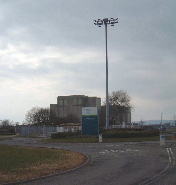
Berkeley nuclear power station
Berkeley nuclear power station is a former Magnox nuclear power station situated on the bank of the River Severn in Gloucestershire, England. The ongoing...

The Salutation Inn
The Salutation Inn is a pub in Ham, Berkeley, Gloucestershire, England. It was CAMRA's National Pub of the Year for 2014. == References == == External... ==

Little Avon River
The Little Avon River is a small river partly in southern Gloucestershire and partly in South Gloucestershire. For much of its length it forms the boundary...

St Mary's Church, Berkeley
The Church of St Mary the Virgin is an Anglican church in Berkeley, Gloucestershire, England, and in the Diocese of Gloucester. The building is Grade I...

Berkeley, Gloucestershire
Berkeley ( BARK-lee) is a market town and civil parish in the Stroud District in Gloucestershire, England. It lies in the Vale of Berkeley between the...
Nearby Amenities
Located within 500m of 51.678499,-2.4943908Have you been to Willis Elm?
Leave your review of Willis Elm below (or comments, questions and feedback).