Clapton
Settlement in Gloucestershire Stroud
England
Clapton
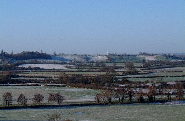
Clapton is a small village located in the Cotswold district of Gloucestershire, England. Situated about 6 miles northeast of the town of Stroud, Clapton is nestled in the beautiful countryside of the Cotswolds, renowned for its picturesque landscapes and charming rural communities.
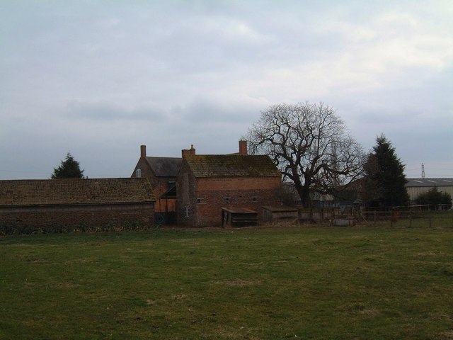
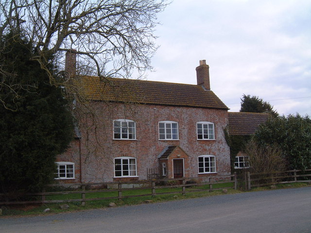
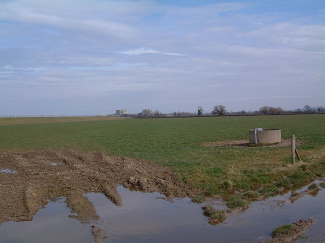
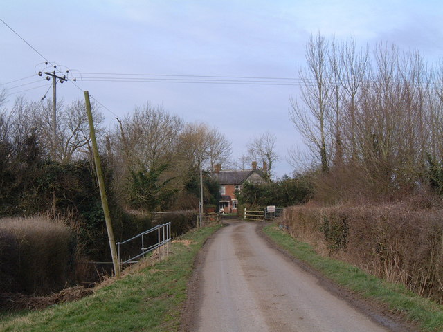
The village itself is characterized by its quintessential English charm, with traditional stone houses, thatched cottages, and a tranquil atmosphere that attracts both locals and visitors seeking a peaceful retreat. The surrounding area offers breathtaking views, with rolling hills, lush green meadows, and idyllic walking trails that showcase the natural beauty of the Cotswolds.
Although small in size, Clapton boasts a strong sense of community, with a local pub, The Black Horse, serving as a popular gathering spot for residents and visitors alike. The pub offers a warm and friendly atmosphere, along with traditional pub fare and a selection of locally brewed ales.
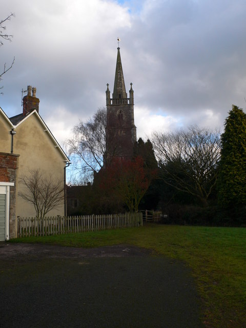
For those interested in history, Clapton is home to St. James' Church, a beautiful medieval church that dates back to the 12th century. The church's architecture and historical significance make it a notable landmark in the village.
Overall, Clapton, Gloucestershire provides a tranquil and picturesque setting for those seeking a taste of rural England. With its charming village atmosphere and stunning natural surroundings, it is a delightful destination for anyone looking to escape the hustle and bustle of city life.
If you have any feedback on the listing, please let us know in the comments section below.
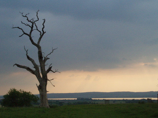
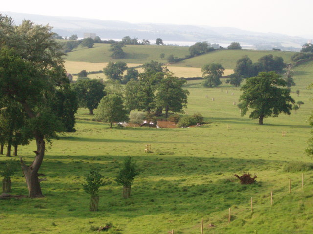
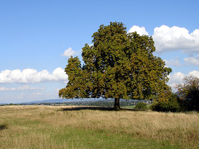
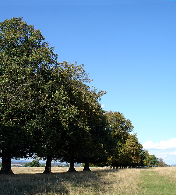
Clapton Images
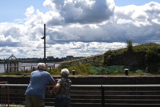
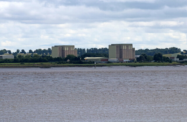
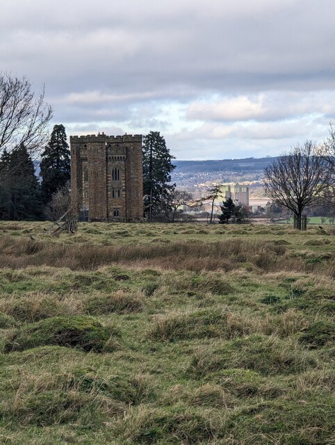
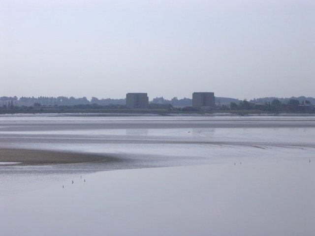
Images are sourced within 2km of 51.678508/-2.4943764 or Grid Reference ST6597. Thanks to Geograph Open Source API. All images are credited.


Clapton is located at Grid Ref: ST6597 (Lat: 51.678508, Lng: -2.4943764)
Administrative County: Gloucestershire
District: Stroud
Police Authority: Gloucestershire
What 3 Words
///fidgeted.lunging.sprinting. Near Berkeley, Gloucestershire
Nearby Locations
Related Wikis
Ham and Stone
Ham and Stone is a civil parish in the Stroud district, in the county of Gloucestershire, England. It includes the settlements of Bevington, Ham, Hystfield...

SGS Berkeley Green UTC
SGS Berkeley Green UTC is a university technical college in Berkeley, Gloucestershire, England. It opened in September 2017, and is part of SGS Academy...
Vale of Berkeley College
The Vale of Berkeley College was a small comprehensive school located in Wanswell Berkeley, Gloucestershire, England. The school closed in July 2011.The...

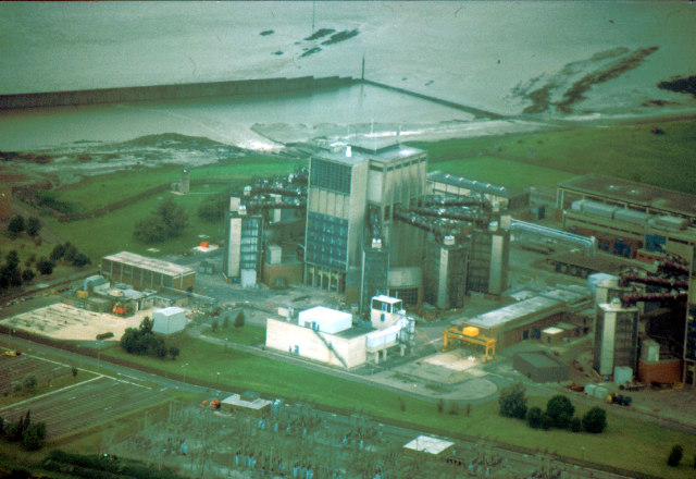
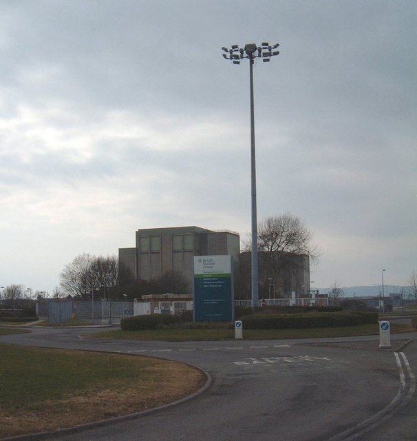
Berkeley nuclear power station
Berkeley nuclear power station is a former Magnox nuclear power station situated on the bank of the River Severn in Gloucestershire, England. The ongoing...
Nearby Amenities
Located within 500m of 51.678508,-2.4943764Have you been to Clapton?
Leave your review of Clapton below (or comments, questions and feedback).