Clapgate
Settlement in Essex Brentwood
England
Clapgate
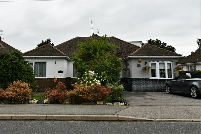
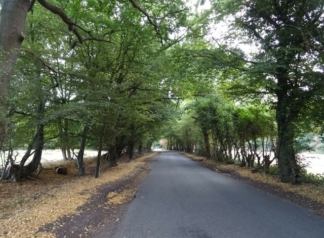
Clapgate is a small village located in the county of Essex, England. Situated approximately 20 miles northeast of London, it forms part of the larger borough of Epping Forest. With a population of around 1,500 residents, Clapgate is known for its picturesque countryside and charming rural atmosphere.
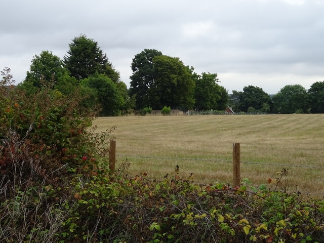
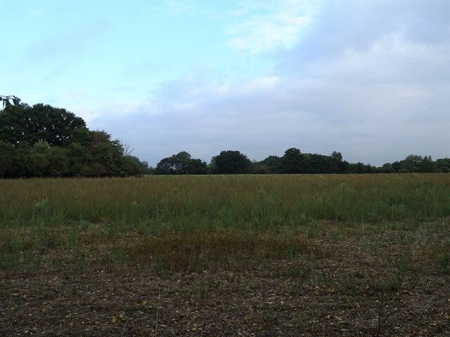
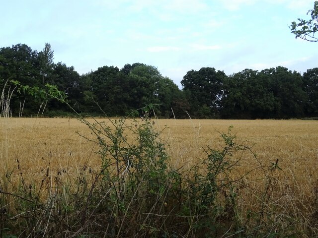
The village is characterized by its traditional English cottages, many of which date back several centuries. These historic buildings give Clapgate a unique and timeless appeal. The surrounding landscape is predominantly agricultural, with rolling fields and meadows that provide a glimpse into the area's agricultural heritage.
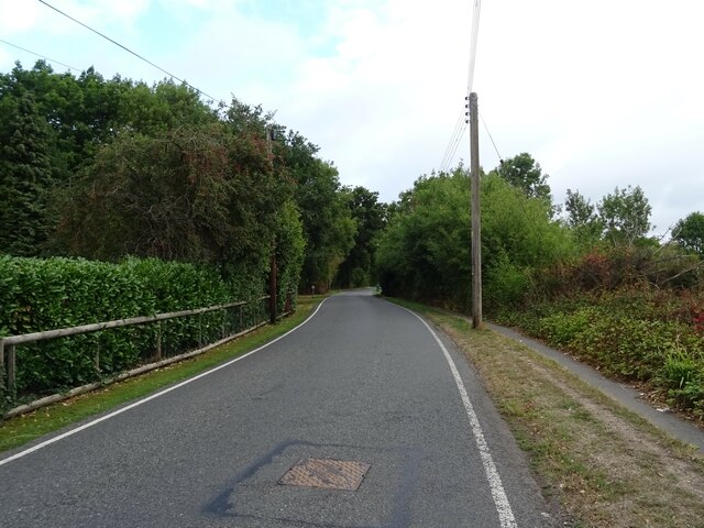
Clapgate is well-connected to the wider region, with several major transportation routes passing nearby. The M25 motorway, one of the UK's busiest roads, is just a short drive away, providing easy access to London and other major cities. Additionally, the village benefits from a local train station, which offers regular services to London Liverpool Street, making it an attractive location for commuters.
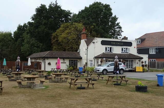
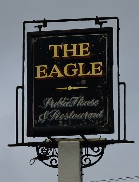
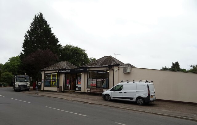
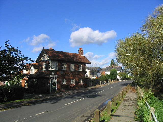
Despite its rural setting, Clapgate is not lacking in amenities. The village boasts a small but vibrant community, with a local pub, a convenience store, and a post office serving the needs of residents. There are also several schools in the nearby area, providing education for children of all ages.
Clapgate's idyllic surroundings and convenient location make it an appealing place to live for those seeking a peaceful and picturesque village lifestyle while remaining within commutable distance of the city.
If you have any feedback on the listing, please let us know in the comments section below.
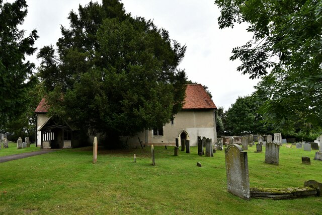
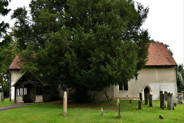
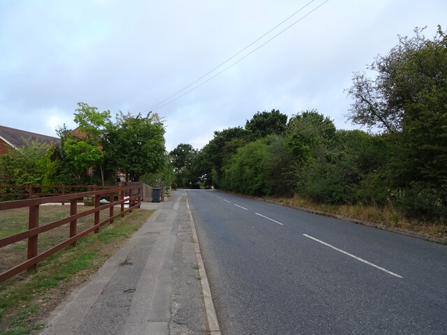
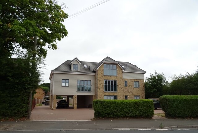
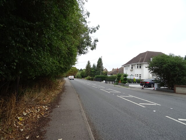
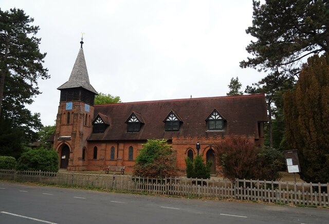
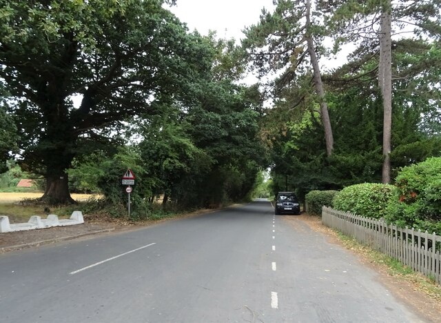
Clapgate Images
Images are sourced within 2km of 51.680406/0.27817469 or Grid Reference TL5700. Thanks to Geograph Open Source API. All images are credited.

Clapgate is located at Grid Ref: TL5700 (Lat: 51.680406, Lng: 0.27817469)
Administrative County: Essex
District: Brentwood
Police Authority: Essex
What 3 Words
///cubs.voices.rides. Near Kelvedon Hatch, Essex
Nearby Locations
Related Wikis
Stondon Massey
Stondon Massey is a village and civil parish in the Brentwood district of Essex, England. The village is to the north of Brentwood, between Blackmore and...

The Coppice, Kelvedon Hatch
The Coppice, Kelvedon Hatch is a 9.4-hectare (23-acre) biological Site of Special Scientific Interest in Kelvedon Hatch in Essex.The site is an ancient...

St Nicholas Church, Kelvedon Hatch
St Nicholas Church is the Church of England parish church in the Essex village of Kelvedon Hatch. It was first recorded around 1254, when the rectory of...

Kelvedon Hatch Secret Nuclear Bunker
The Kelvedon Hatch Secret Nuclear Bunker at Kelvedon Hatch, in the Borough of Brentwood in the English county of Essex, is a large underground bunker maintained...

Kelvedon Hall
Kelvedon Hall is a country house in the village of Kelvedon Hatch, near Brentwood, Essex, England. Originally the site of an important medieval manor,...
Kelvedon Hatch
Kelvedon Hatch is a village and civil parish in the Borough of Brentwood in south Essex, England. It is situated just north of Pilgrims Hatch, approximately...

Church of All Saints, Doddinghurst
The Church of All Saints is a Church of England parish church in Doddinghurst, Essex. The church is a Grade I listed building. == Notable clergy == Oswald...

Trinity School, Brentwood
Trinity School (formerly Peniel Academy) was an independent school in Essex, England. The school was located in Brentwood and was closely linked to Trinity...
Related Videos
Headshot at Dragons Lair #airsoft #airsoftsniper #headshot #airsoftvideo #mdr
A quick highlights video from the famous 'fall back' game at Dragons Lair. Each team must clear each section, quickest team to ...

Opposition pov👏🏻 #airsoft #headshot #ghillie #airsoftnation #airsoftshorts #airsoftinternational
The opposition (TC3) took the time to send me this clip a while back of me hitting him. Rather nice of him.
Nearby Amenities
Located within 500m of 51.680406,0.27817469Have you been to Clapgate?
Leave your review of Clapgate below (or comments, questions and feedback).