Willoughbridge
Settlement in Staffordshire Newcastle-under-Lyme
England
Willoughbridge
Willoughbridge is a small village located in the county of Staffordshire, in the West Midlands region of England. Situated on the banks of the River Sow, it lies approximately 8 miles north of the county town of Stafford. The village is part of the civil parish of Chebsey.
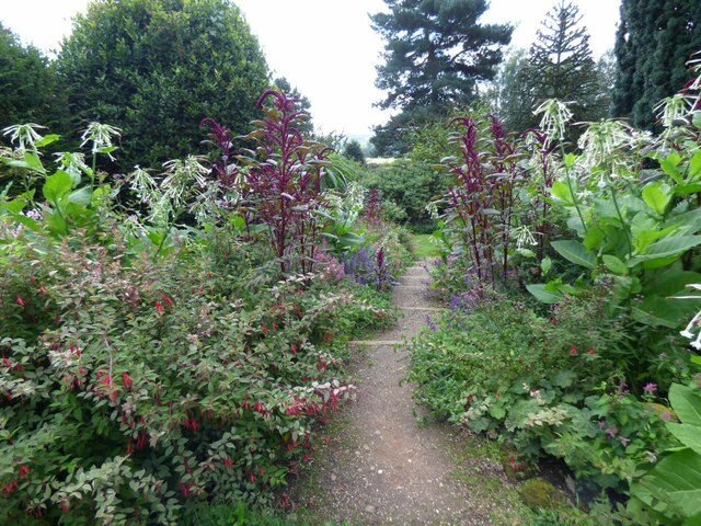
With a population of around 500 residents, Willoughbridge is a peaceful and close-knit community. It boasts a picturesque countryside setting, surrounded by rolling hills and farmland, making it an ideal location for those seeking a tranquil escape from the urban hustle.
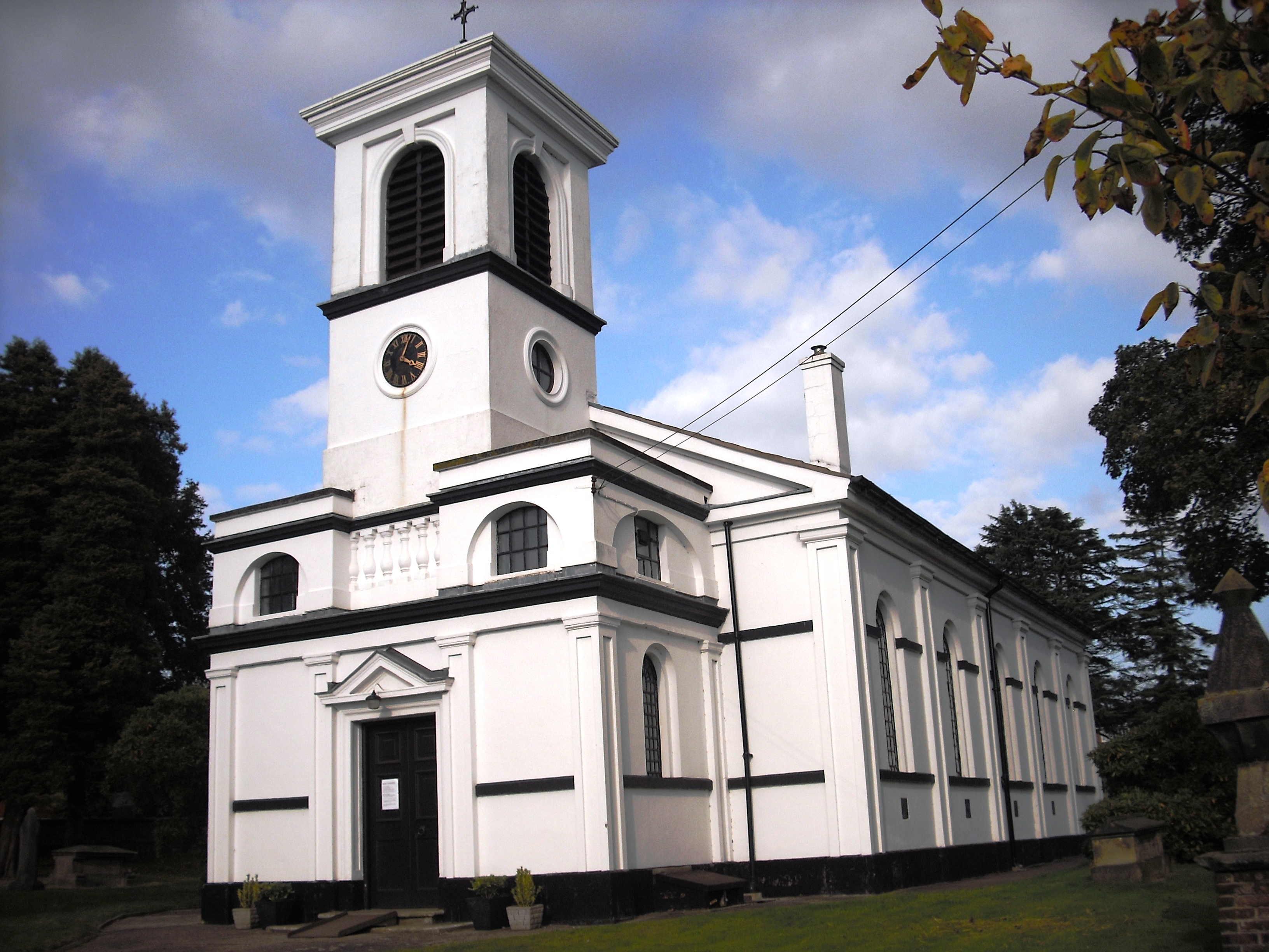
One of the notable landmarks in Willoughbridge is St. Augustine's Church, a historic Anglican church dating back to the 12th century. The church features stunning architectural details and holds regular services, attracting both locals and visitors alike.
The village also benefits from its proximity to the nearby Hanchurch Woods, a designated Site of Special Scientific Interest. This woodland area offers beautiful walking trails, abundant wildlife, and is particularly popular amongst nature enthusiasts and dog walkers.
Despite its small size, Willoughbridge is well-connected to the surrounding areas. The A518 road passes through the village, providing convenient access to nearby towns and cities. Additionally, the village has a regular bus service, ensuring residents have access to essential amenities and services.
Overall, Willoughbridge offers a charming and idyllic setting for those looking to reside in a peaceful rural community, while still being within reach of larger urban centers.
If you have any feedback on the listing, please let us know in the comments section below.
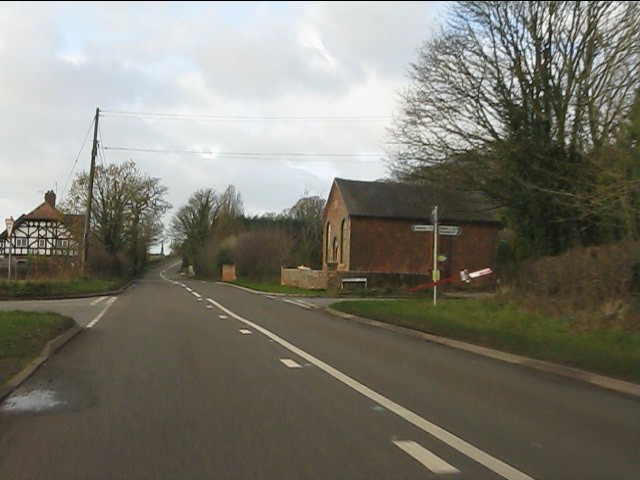
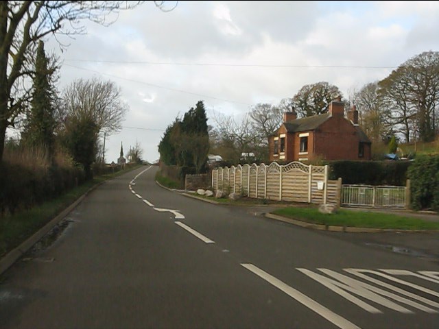
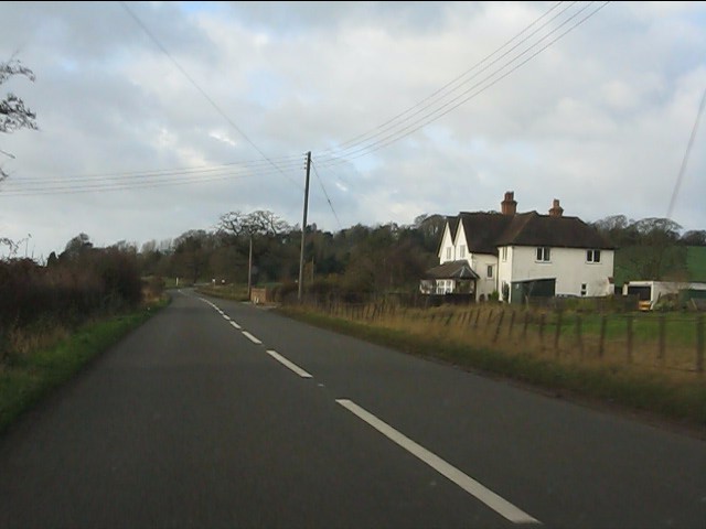
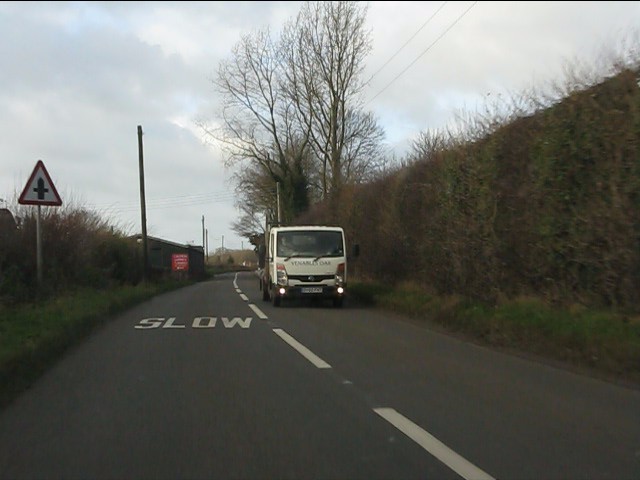
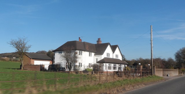
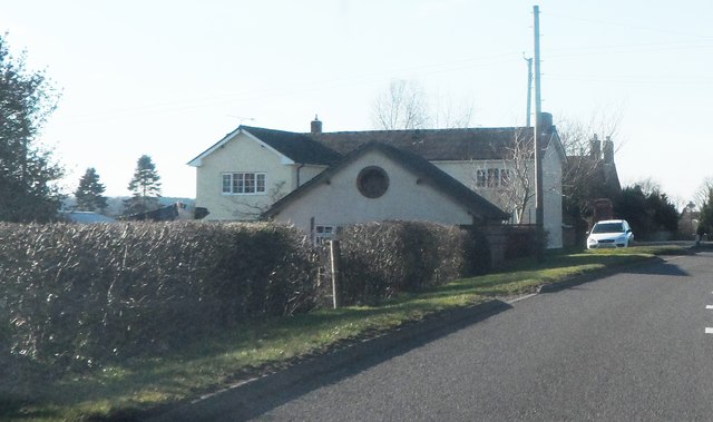
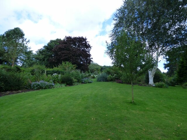
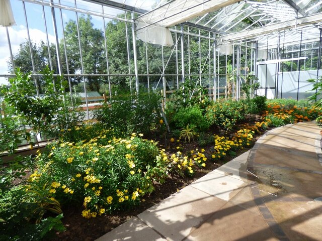
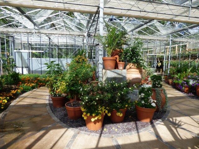
Willoughbridge Images
Images are sourced within 2km of 52.957759/-2.3725822 or Grid Reference SJ7540. Thanks to Geograph Open Source API. All images are credited.


Willoughbridge is located at Grid Ref: SJ7540 (Lat: 52.957759, Lng: -2.3725822)
Administrative County: Staffordshire
District: Newcastle-under-Lyme
Police Authority: Staffordshire
What 3 Words
///stint.lamppost.deed. Near Madeley, Staffordshire
Nearby Locations
Related Wikis

Pipe Gate railway station
Pipe Gate was a railway station on the North Staffordshire Railway's Stoke to Market Drayton Line. == Construction == Construction was started on the Newcastle...

Ireland's Cross
Ireland's Cross is a small hamlet in the civil parish of Woore in Shropshire, England. == References ==

Knighton, Newcastle-under-Lyme
Knighton is a hamlet in north west Staffordshire, England, located in the Borough of Newcastle-under-Lyme. It is surrounded to the west, north and east...
Newcastle-under-Lyme Rural District
Newcastle-under-Lyme Rural District was a rural district in the county of Staffordshire. It was formed in 1894 with the civil parishes of Ashley, Audley...
Bearstone
Bearstone is a hamlet in Shropshire, England. For population details as taken at the 2011 census see Woore (Shropshire).
Woore
Woore is a village and civil parish in the north east of Shropshire, England, of about 3,950 acres (1,600 hectares). It had a population of 1,004 in the...

Onneley
Onneley is a hamlet in the Borough of Newcastle-under-Lyme, Staffordshire.Situated within Onneley is the local Golf and Cricket club. Onneley Cricket club...
Madeley Road railway station
Madeley Road railway station is a disused railway station in Staffordshire, England. The Stoke to Market Drayton Line was opened by the North Staffordshire...
Nearby Amenities
Located within 500m of 52.957759,-2.3725822Have you been to Willoughbridge?
Leave your review of Willoughbridge below (or comments, questions and feedback).