West Lavant
Settlement in Sussex Chichester
England
West Lavant
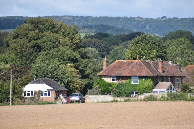
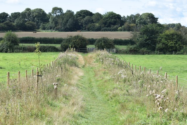
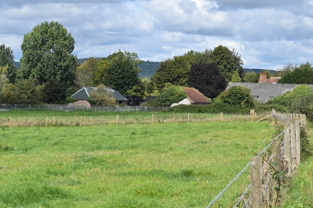
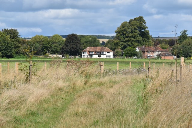
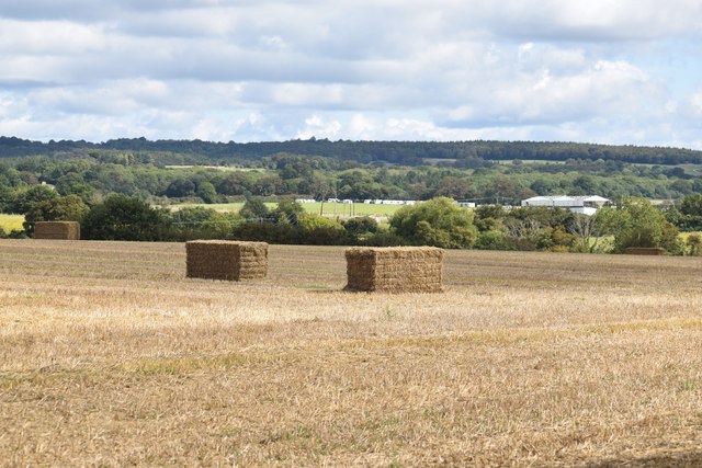
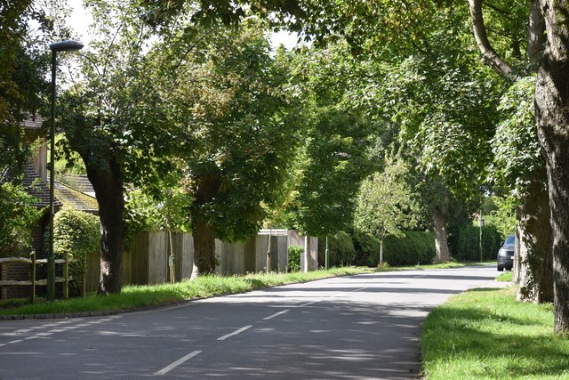
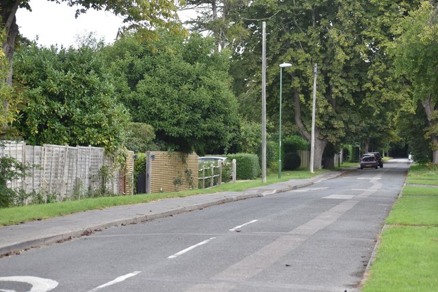
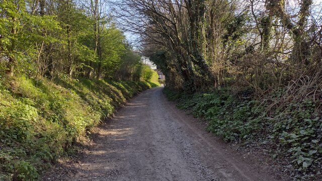
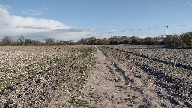
West Lavant is a small village located in West Sussex, England. Situated near the South Downs National Park, the village is surrounded by picturesque countryside and offers stunning views of the rolling hills and woodlands. West Lavant is known for its tranquil and rural setting, making it a popular destination for those seeking a peaceful retreat away from the hustle and bustle of city life.
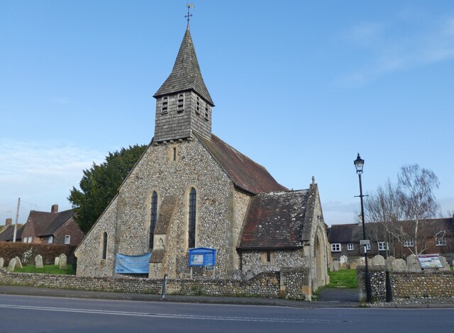
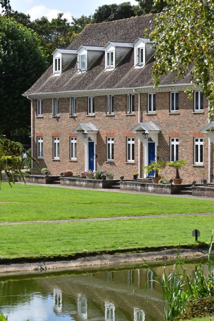
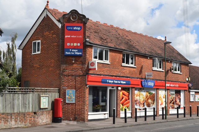
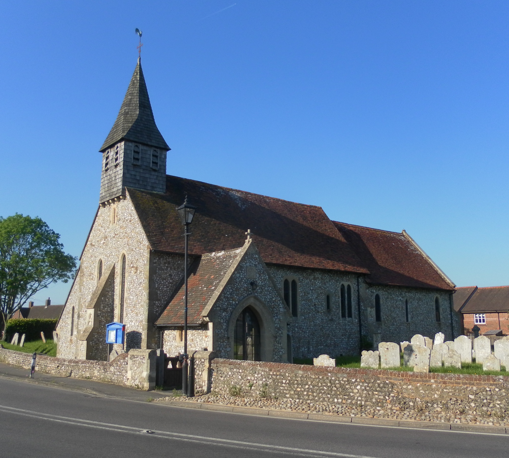
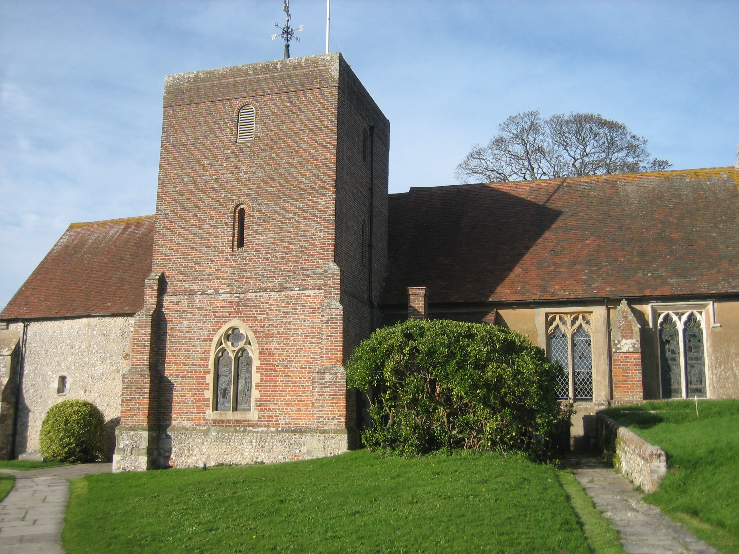
The village is home to a small community of residents and features a charming mix of traditional cottages and modern homes. The local church, St. Nicholas Church, dates back to the 12th century and is a notable landmark in the area. West Lavant also has a village hall, a primary school, and a pub, providing essential amenities for its residents.
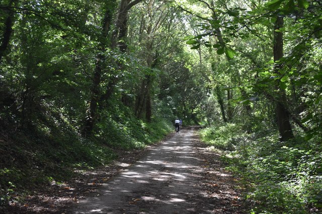
Outdoor enthusiasts will appreciate the abundance of walking and cycling trails in the surrounding area, offering opportunities to explore the natural beauty of the South Downs. The nearby city of Chichester is just a short drive away, providing additional amenities and cultural attractions for residents of West Lavant.
If you have any feedback on the listing, please let us know in the comments section below.
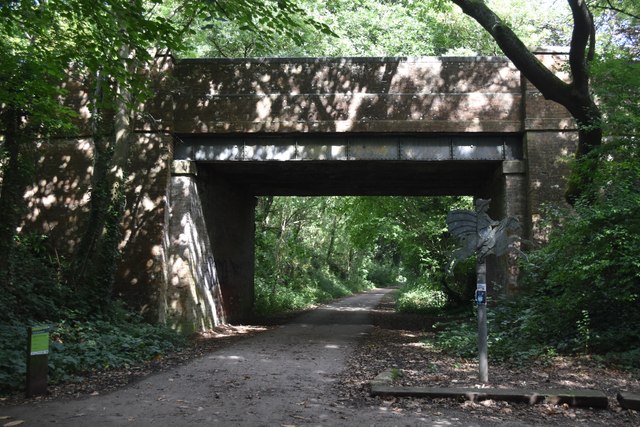
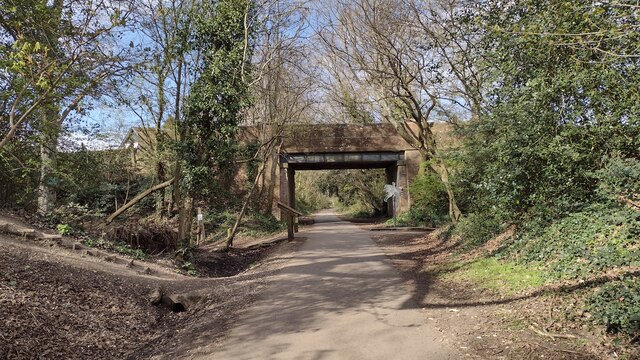
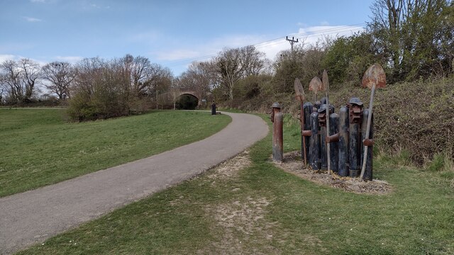
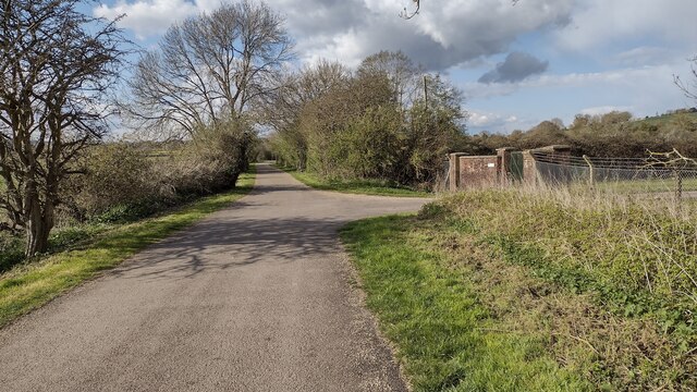
West Lavant Images
Images are sourced within 2km of 50.868215/-0.79410837 or Grid Reference SU8408. Thanks to Geograph Open Source API. All images are credited.
West Lavant is located at Grid Ref: SU8408 (Lat: 50.868215, Lng: -0.79410837)
Administrative County: West Sussex
District: Chichester
Police Authority: Sussex
What 3 Words
///remaining.putter.repeats. Near Chichester, West Sussex
Nearby Locations
Related Wikis
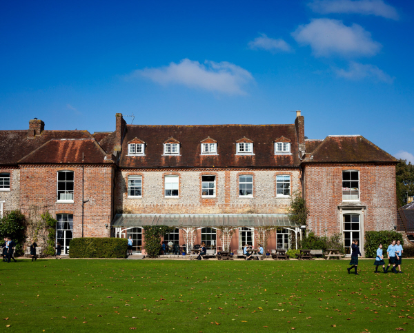
Lavant House
Lavant House (or West Lavant House) is a country house and estate in the parish of Lavant, West Sussex, England. It was used as a private school for girls...
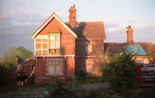
Lavant railway station
Lavant Railway Station served the village group of Lavant in the county of West Sussex in England. It was on the former London Brighton and South Coast...
Lavant, West Sussex
Lavant is a civil parish in the Chichester district of West Sussex, England, 2.2 miles (3.5 km) north of Chichester. It includes three villages: Mid Lavant...
East Lavant
East Lavant is one part, which along with Mid Lavant make up the village of Lavant in the Chichester district of West Sussex, England. It lies just east...
Nearby Amenities
Located within 500m of 50.868215,-0.79410837Have you been to West Lavant?
Leave your review of West Lavant below (or comments, questions and feedback).