West Leith

Settlement in Hertfordshire Dacorum

England

West Leith

The Forbidden Forest Aston Hill Coppice, an area of wooded access land, has been closed to the public by Forestry England for some reason.
This is a view from the footpath along the edge. Nothing obvious going on.
The Forbidden Forest Credit: Des Blenkinsopp

West Leith is a charming village located in the county of Hertfordshire, England. Situated just a few miles west of the bustling town of Leith, this picturesque settlement offers a peaceful retreat from the urban chaos. With a population of around 1,500 residents, West Leith maintains a tight-knit community atmosphere.

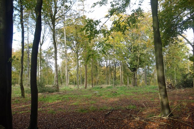
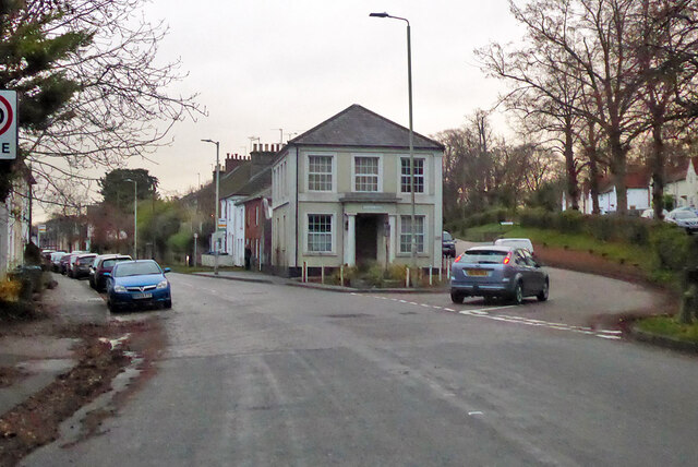
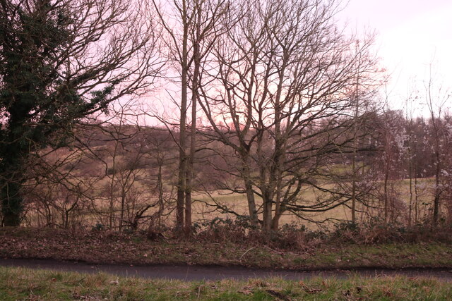
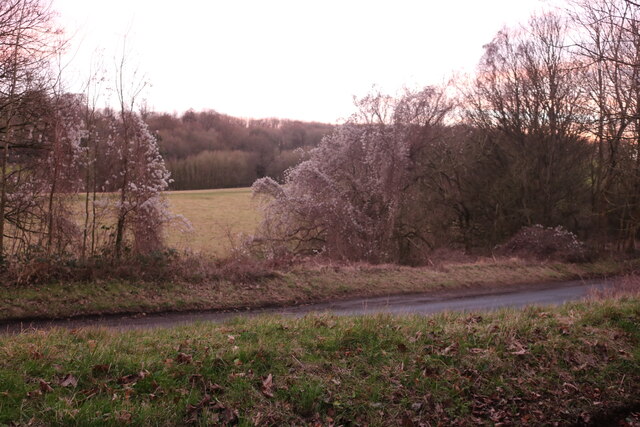
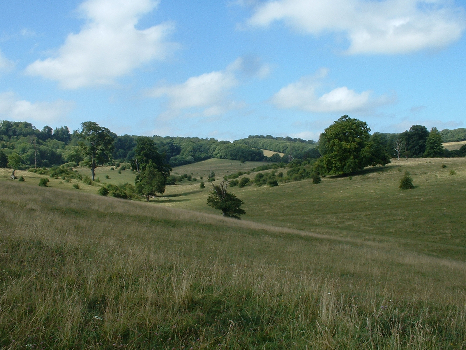
The village is known for its idyllic countryside setting, surrounded by rolling hills and lush green fields. The River Leith flows through the heart of the village, providing a scenic backdrop for leisurely walks and outdoor activities. The quaint village center is lined with historic buildings, including the 12th-century St. Mary's Church, which stands as a testament to the area's rich history.

Despite its small size, West Leith boasts several amenities to cater to its residents' needs. The village is home to a primary school, a post office, a local convenience store, and a handful of traditional pubs where locals can unwind and socialize. Additionally, the nearby town of Leith offers a wider range of shops, supermarkets, and recreational facilities, ensuring that residents have access to all essential services.

For nature enthusiasts, West Leith is a haven for outdoor pursuits. The surrounding countryside offers ample opportunities for hiking, cycling, and horse riding. The area is also dotted with numerous nature reserves and parks, providing wildlife habitats and serene picnic spots for families and visitors to enjoy.

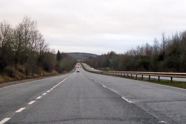
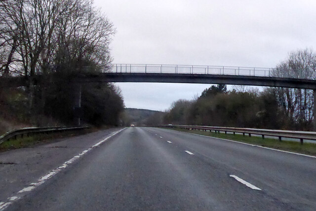
West Leith is well-connected to neighboring towns and cities through a network of roads and public transportation. The village's peaceful ambiance, combined with its convenient location, makes it a desirable place to live for those seeking a tranquil rural lifestyle within easy reach of urban amenities.

If you have any feedback on the listing, please let us know in the comments section below.
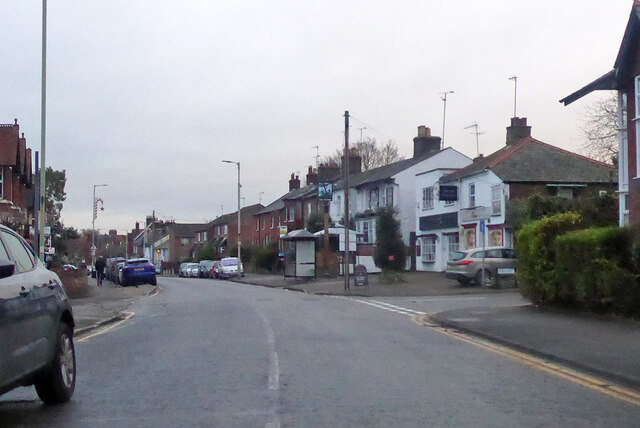
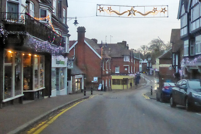
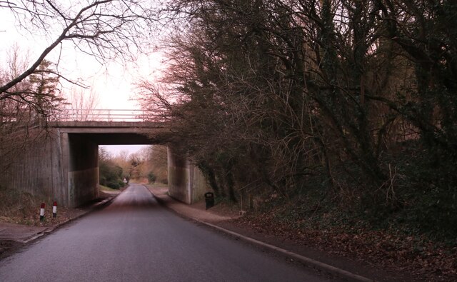
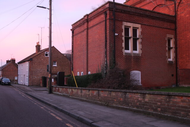
West Leith Images

Images are sourced within 2km of 51.78611/-0.67568691 or Grid Reference SP9110. Thanks to Geograph Open Source API. All images are credited.
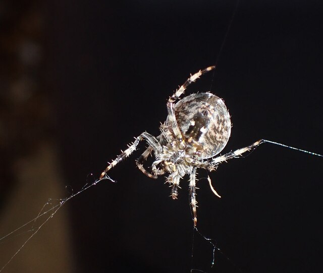
The Forbidden Forest Aston Hill Coppice, an area of wooded access land, has been closed to the public by Forestry England for some reason.
This is a view from the footpath along the edge. Nothing obvious going on.
The Forbidden Forest
Aston Hill Coppice, an area of wooded access land, has been closed to the public by Forestry England for some reason. This is a view from the footpath along the edge. Nothing obvious going on.
A41 towards Aylesbury
A41 towards Aylesbury A footbridge for Tring Park.
A41 towards Aylesbury
A footbridge for Tring Park.
Norfolk House, Tring Formerly the Britannia pub.
Norfolk House, Tring
Formerly the Britannia pub.
B4635 Western Road, Tring Once the A41.
B4635 Western Road, Tring
Once the A41.
High Street, Tring The B4635, once the A41.
High Street, Tring
The B4635, once the A41.
Hastoe Lane going under the A41 Both the bin and give way sign arrived after Google's visit in July 2021. The council have clearly been busy.
Hastoe Lane going under the A41
Both the bin and give way sign arrived after Google's visit in July 2021. The council have clearly been busy.
National History Museum at Tring I certainly didn't know it was there, you learn things out and about.
National History Museum at Tring
I certainly didn't know it was there, you learn things out and about.
Hastoe Lane, Tring The Natural History Museum is on the right.
Hastoe Lane, Tring
The Natural History Museum is on the right.
Tring Shoe Repairers
Akeman Street, Tring The early 19C house on the left has a room above the entrance to Clement Place. It is listed, Grade II.
Akeman Street, Tring
The early 19C house on the left has a room above the entrance to Clement Place. It is listed, Grade II.
High Street, Tring Costa Coffee is on the left and the former Market Hall on the right, and then the crossroads, with Frogmore St to the left and Akeman Street to the right.
High Street, Tring
Costa Coffee is on the left and the former Market Hall on the right, and then the crossroads, with Frogmore St to the left and Akeman Street to the right.
Hastoe Lane approaching Tring
Tring Park By Hastoe Lane
Tring Park
By Hastoe Lane
Tring Park by Hastoe Lane
Spiderlings (Araneus diadematus) This clutch of newly hatched baby spiders (known as "spiderlings") were clinging to a web on one of our water butts. I believe they are one of the many Orb Web/Weaver spider species in the genus Araneus, most probably Araneus diadematus which has several English names, notably European garden spider, diadem spider, cross spider and crowned orb weaver. To give a sense of scale the total area covered by this cluster was perhaps a little bigger than a £2 coin. A few minutes later however they had clumped themselves together into a far tighter bunch - see <a href="https://www.geograph.org.uk/photo/7186343">SP9211 : Spiderlings (Araneus diadematus) - in a bunch</a>
If any arachnologists out there would like to confirm or dispute my identification, I would be more than pleased to hear from you!
[Update 1st June] All the spiderlings have now disappeared without trace, whether they have dispersed to become solo spiders - or have been predated upon I have no idea.

This <a title="https://www.geograph.org.uk/search.php?i=158115048" href="https://www.geograph.org.uk/search.php?i=158115048">Link</a> will bring up a selection of other Geograph images of Araneus diadematus, mostly adults.
Spiderlings (Araneus diadematus)
This clutch of newly hatched baby spiders (known as "spiderlings") were clinging to a web on one of our water butts. I believe they are one of the many Orb Web/Weaver spider species in the genus Araneus, most probably Araneus diadematus which has several English names, notably European garden spider, diadem spider, cross spider and crowned orb weaver. To give a sense of scale the total area covered by this cluster was perhaps a little bigger than a £2 coin. A few minutes later however they had clumped themselves together into a far tighter bunch - see SP9211 : Spiderlings (Araneus diadematus) - in a bunch If any arachnologists out there would like to confirm or dispute my identification, I would be more than pleased to hear from you! [Update 1st June] All the spiderlings have now disappeared without trace, whether they have dispersed to become solo spiders - or have been predated upon I have no idea. This Link will bring up a selection of other Geograph images of Araneus diadematus, mostly adults.
Spiderlings (Araneus diadematus) - in a bunch A few minutes after taking <a href="https://www.geograph.org.uk/photo/7184613">SP9211 : Spiderlings (Araneus diadematus)</a> the mass of little spiderlings had grouped themselves tightly together forming a little blob no bigger than a £1 coin. The little fellow top left looks to be the last one to join the scrum!
See the linked photo above for more information on these baby spiders.
[Update 1st June] All the spiderlings have now disappeared without trace, whether they have dispersed to become solo spiders - or have been predated upon I have no idea.

This <a title="https://www.geograph.org.uk/search.php?i=158115048" href="https://www.geograph.org.uk/search.php?i=158115048">Link</a> will bring up a selection of other Geograph images of Araneus diadematus, mostly adults.
Spiderlings (Araneus diadematus) - in a bunch
A few minutes after taking SP9211 : Spiderlings (Araneus diadematus) the mass of little spiderlings had grouped themselves tightly together forming a little blob no bigger than a £1 coin. The little fellow top left looks to be the last one to join the scrum! See the linked photo above for more information on these baby spiders. [Update 1st June] All the spiderlings have now disappeared without trace, whether they have dispersed to become solo spiders - or have been predated upon I have no idea. This Link will bring up a selection of other Geograph images of Araneus diadematus, mostly adults.
Garden Spider (Araneus diadematus) ventral view Looking up from underneath (i.e. a ventral view) of a (probably female) European Garden Spider (Araneus diadematus). This spider has several alternative names, viz. Diadem Spider, Cross Spider and Crowned Orb Weaver. She seemed to be busy unpicking her web prior to rebuilding it (which she had completed within the hour). I wonder if she is one of these <a href="https://www.geograph.org.uk/photo/7184613">SP9211 : Spiderlings (Araneus diadematus)</a> all grown up, as she was only a few yards away from where those spiderlings were photographed four months earlier - or possibly she is their mother!
Garden Spider (Araneus diadematus) ventral view
Looking up from underneath (i.e. a ventral view) of a (probably female) European Garden Spider (Araneus diadematus). This spider has several alternative names, viz. Diadem Spider, Cross Spider and Crowned Orb Weaver. She seemed to be busy unpicking her web prior to rebuilding it (which she had completed within the hour). I wonder if she is one of these SP9211 : Spiderlings (Araneus diadematus) all grown up, as she was only a few yards away from where those spiderlings were photographed four months earlier - or possibly she is their mother!
Show me another place!

West Leith is located at Grid Ref: SP9110 (Lat: 51.78611, Lng: -0.67568691)

Administrative County: Hertfordshire

District: Dacorum

Police Authority: Hertfordshire

What 3 Words

///clauses.walked.chestnuts. Near Tring, Hertfordshire

Related Wikis

Tring Woodlands

Tring Woodlands is a 23.8-hectare (59-acre) biological Site of Special Scientific Interest in Tring in Hertfordshire. It is part of the Chilterns Area...

Natural History Museum at Tring

The Natural History Museum at Tring was the private museum of Lionel Walter, 2nd Baron Rothschild; today it is under the control of the Natural History...

Goldfield Mill, Tring

Goldfield Mill or Grover's Mill is a Grade II listed tower mill at Tring, Hertfordshire, England which has been converted to residential accommodation...
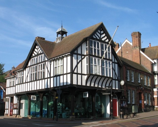
Tring Market House

Tring Market House is a municipal building in the High Street, Tring, Hertfordshire, England. The structure, which is the meeting place of Tring Town Council...

Hastoe

Hastoe (Halstowe or Halstoe in the 13th century) is a hamlet in the civil parish of Tring. It is located in the Chiltern Hills, 1.7m south of the town...

Church of St Peter and St Paul, Tring

The Church of St Peter and St Paul is an Anglican church in Tring, Hertfordshire, England, and in the Diocese of St Albans. The building is Grade I listed...

Tring Park

Tring Park is a public open space in Tring, owned by Dacorum Borough Council and managed by the Woodland Trust. It is part of the Chilterns Area of Outstanding...

Tring Park Mansion

Tring Park Mansion or Mansion House, Tring Park, is a large country house in Tring, Hertfordshire. The house, as "Tring Park", was used, and from 1872...

Nearby Amenities

Located within 500m of 51.78611,-0.67568691
TRING1
Disused: yes
Man Made: petroleum_well
Ref GB Decc: LR/07-1
Source: DECC
Lat/Long: 51.7853611/-0.6777222
Bus Stop
Cemetery
Bus: yes
Naptan AtcoCode: 210021423340
Naptan Bearing: W
Naptan CommonName: Cemetery
Naptan Crossing: Allotment Gardens
Naptan Indicator: opp
Naptan Landmark: Allotment Gardens
Naptan NaptanCode: hrtdawtp
Naptan ShortCommonName: NA
Naptan Street: Aylesbury Road
Naptan Verified: no
Public Transport: platform
Source: naptan_import
Lat/Long: 51.789736/-0.6760981
Bus Stop
Cemetery
Bus: yes
Departures Board: timetable
Local Ref: NR
Naptan AtcoCode: 210021426240
Naptan Bearing: E
Naptan CommonName: Cemetery
Naptan Crossing: Longfield Road
Naptan Indicator: nr
Naptan Landmark: Longfield Road
Naptan NaptanCode: hrtdatgw
Naptan ShortCommonName: NA
Naptan Street: Aylesbury Road
Naptan Verified: no
Network: 500, 520, 61
Operator: Arriva, Red Eagle
Public Transport: platform
Shelter: no
Source: naptan_import
Lat/Long: 51.7898079/-0.6768935
Barrier: kissing_gate
Lat/Long: 51.7873626/-0.6720831
Crossing
Crossing: unmarked
Crossing Markings: no
Lat/Long: 51.7897724/-0.6768607
West Leith Farm
Place: farm
Source: survey
Lat/Long: 51.7834351/-0.6741189
Barrier: kissing_gate
Lat/Long: 51.7873165/-0.6751991
Crossing
Crossing: unmarked
Crossing Markings: no
Lat/Long: 51.7898074/-0.6773628
The data included in this document is from www.openstreetmap.org. The data is made available under ODbL.

Have you been to West Leith?

Leave your review of West Leith below (or comments, questions and feedback).