West Mains
Settlement in Northumberland
England
West Mains
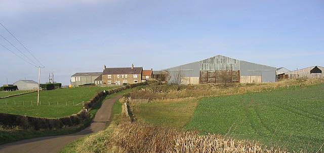
West Mains is a quaint village located in the county of Northumberland, England. Situated in the northernmost region of the country, it lies approximately 7 miles southwest of the town of Alnwick. With a population of around 200 residents, it offers a peaceful and close-knit community environment.
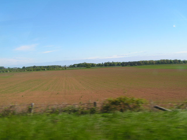
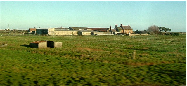
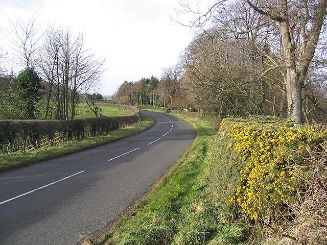
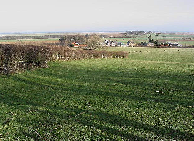
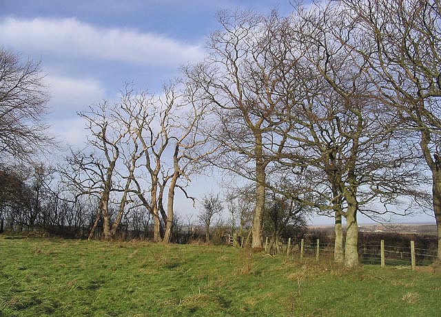
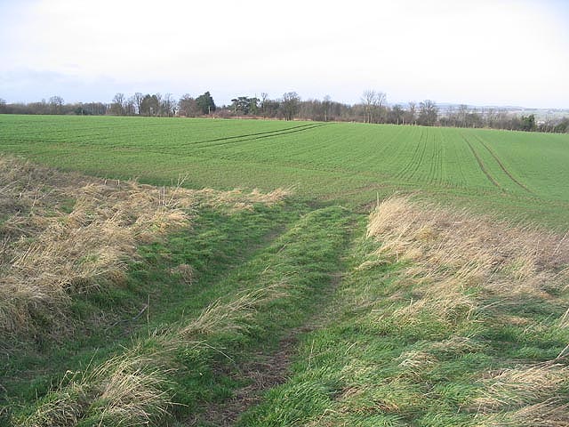
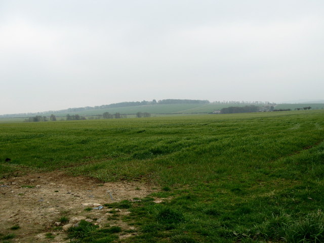
The village is nestled amidst the stunning Northumberland countryside, characterized by rolling green hills and picturesque landscapes. The area is renowned for its natural beauty, attracting visitors and nature enthusiasts alike. The nearby Simonside Hills provide ample opportunities for hiking and exploring the great outdoors.
West Mains itself exudes a timeless charm, with its traditional stone cottages and well-preserved architecture. The village is centered around a small square, which serves as a gathering point for locals and visitors. The square features a number of amenities, including a cozy village pub offering a warm welcome and a place to unwind.
In terms of amenities, West Mains boasts a primary school, ensuring that families with young children are well catered for. Additionally, the village has a small local shop, providing essential goods and services to its residents.
Given its rural location, West Mains offers a tranquil lifestyle, away from the hustle and bustle of larger towns and cities. However, it remains well connected to the wider region, with good transport links to nearby towns and cities. This makes it an attractive option for those seeking a peaceful countryside retreat while still having access to urban amenities.
If you have any feedback on the listing, please let us know in the comments section below.
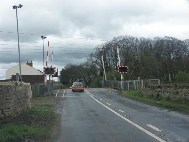
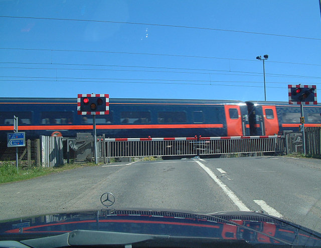
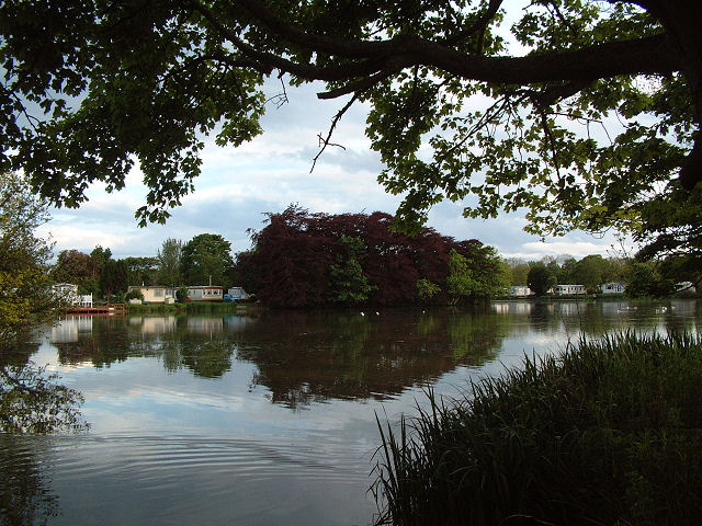
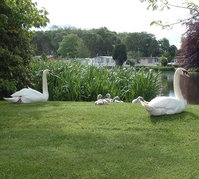
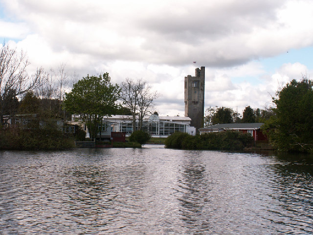
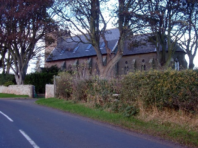
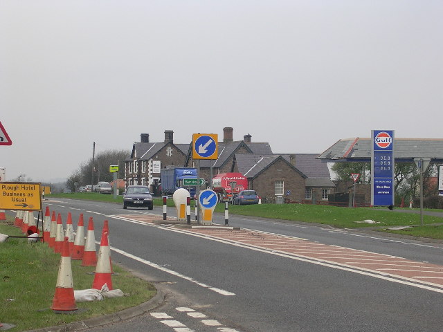
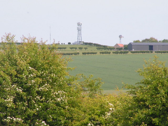
West Mains Images
Images are sourced within 2km of 55.672067/-1.9168851 or Grid Reference NU0542. Thanks to Geograph Open Source API. All images are credited.
West Mains is located at Grid Ref: NU0542 (Lat: 55.672067, Lng: -1.9168851)
Unitary Authority: Northumberland
Police Authority: Northumbria
What 3 Words
///canoe.fine.unscathed. Near Lowick, Northumberland
Nearby Locations
Related Wikis
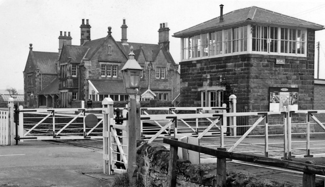
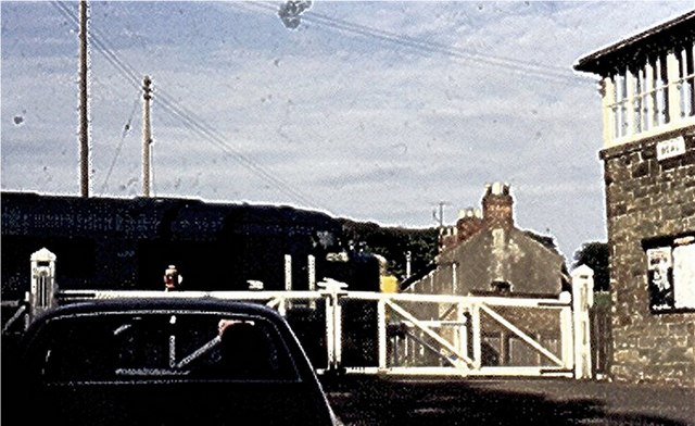
Beal railway station
Beal railway station, also known as Beal for Holy Island railway station, was a railway station that served the village of Beal, Northumberland, England...

Beal, Northumberland
Beal is a village in Northumberland, in England. It is situated a short distance inland from the North Sea coast, and lies on the link road between the...

Haggerston Castle
Haggerston Castle was a castle located in the county of Northumberland, England at Haggerston about 5 miles (8 km) south of Berwick-upon-Tweed. Only the...

Haggerston, Northumberland
Haggerston is a hamlet located in the county of Northumberland, England about 5 miles (8 km) south of Berwick-upon-Tweed and adjacent to the A1 road. Historically...

Fenwick, Kyloe
Fenwick is a small hamlet in the civil parish of Kyloe near Berwick-upon-Tweed and has a population of approx 400. Fenwick lies only three miles from Holy...

Kyloe
Kyloe is a civil parish in the county of Northumberland, about 8 miles (13 km) south-east of Berwick-upon-Tweed. According to the parish council, the main...
Goswick
Goswick () is a hamlet in Northumberland, England, situated approximately south-east of Berwick-upon-Tweed, England, between the A1 and the North Sea coast...
Islandshire
Islandshire was an area of Northumberland, England, comprising Lindisfarne or Holy Island, plus five parishes on the mainland. It is historically associated...
Nearby Amenities
Located within 500m of 55.672067,-1.9168851Have you been to West Mains?
Leave your review of West Mains below (or comments, questions and feedback).