West Mains Crofts
Settlement in Midlothian
Scotland
West Mains Crofts
West Mains Crofts is a rural area located in Midlothian, Scotland. Situated approximately 14 miles southeast of Edinburgh, it is nestled between the towns of Loanhead and Roslin. The area is known for its picturesque landscapes, rolling hills, and tranquil atmosphere.
The crofts in West Mains are characterized by their spacious and well-maintained properties, often surrounded by open fields and farmland. Many of the houses in this area are traditional stone-built cottages, which add to the charm and character of the community.
Residents of West Mains Crofts enjoy the benefits of both countryside living and easy access to urban amenities. The nearby town of Loanhead provides essential services, including shops, restaurants, and healthcare facilities. For further amenities, the city of Edinburgh is within a short drive or bus journey, offering a wide range of cultural, recreational, and educational opportunities.
Nature enthusiasts are drawn to West Mains Crofts due to its proximity to the Pentland Hills Regional Park. This vast natural reserve is ideal for outdoor activities such as hiking, mountain biking, and horse riding. The park offers stunning panoramic views, diverse wildlife, and a variety of trails suitable for all levels of fitness.
West Mains Crofts is also known for its strong sense of community. Residents often participate in local events and activities organized by community groups, fostering a friendly and inclusive atmosphere.
In summary, West Mains Crofts provides an idyllic countryside setting, with a close-knit community, while still offering convenient access to nearby towns and the vibrant city of Edinburgh.
If you have any feedback on the listing, please let us know in the comments section below.
West Mains Crofts Images
Images are sourced within 2km of 55.830323/-3.6017399 or Grid Reference NS9960. Thanks to Geograph Open Source API. All images are credited.


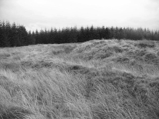
![Colliery spoil at Pates Hill Remains of the Harwood Colliery [1946-1959], being slowly colonised by trees and heather. At the entrance to Pates Hill Wind Farm.](https://s2.geograph.org.uk/geophotos/04/47/70/4477086_4abb870e.jpg)
![Colliery spoil [detail] Shale and stony material left from the activities of the Harwood Colliery at Pates Hill between 1946-1959 - a poor substrate for recolonisation. Now the site of Pates Hill Wind Farm.](https://s2.geograph.org.uk/geophotos/04/47/70/4477090_3e800b82.jpg)


West Mains Crofts is located at Grid Ref: NS9960 (Lat: 55.830323, Lng: -3.6017399)
Unitary Authority: West Lothian
Police Authority: The Lothians and Scottish Borders
What 3 Words
///rejected.ending.sped. Near Addiebrownhill, West Lothian
Nearby Locations
Related Wikis
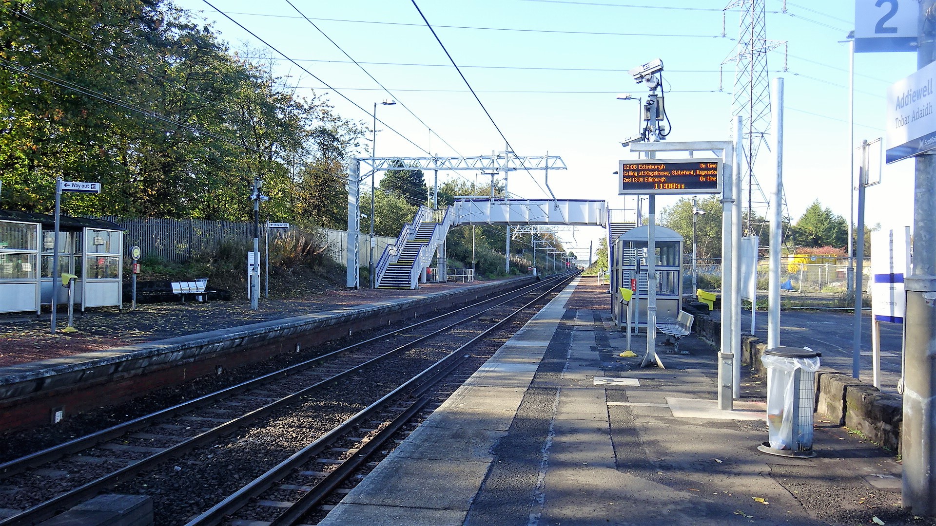
Addiewell railway station
Addiewell railway station is a railway station serving Addiewell in West Lothian, Scotland. It is located on the Shotts Line from Glasgow Central to Edinburgh...

Addiewell
Addiewell (Scots: Aidieswall, Scottish Gaelic: Tobar Adaidh) is a former mining village in the Scottish council area of West Lothian. Historically it lies...
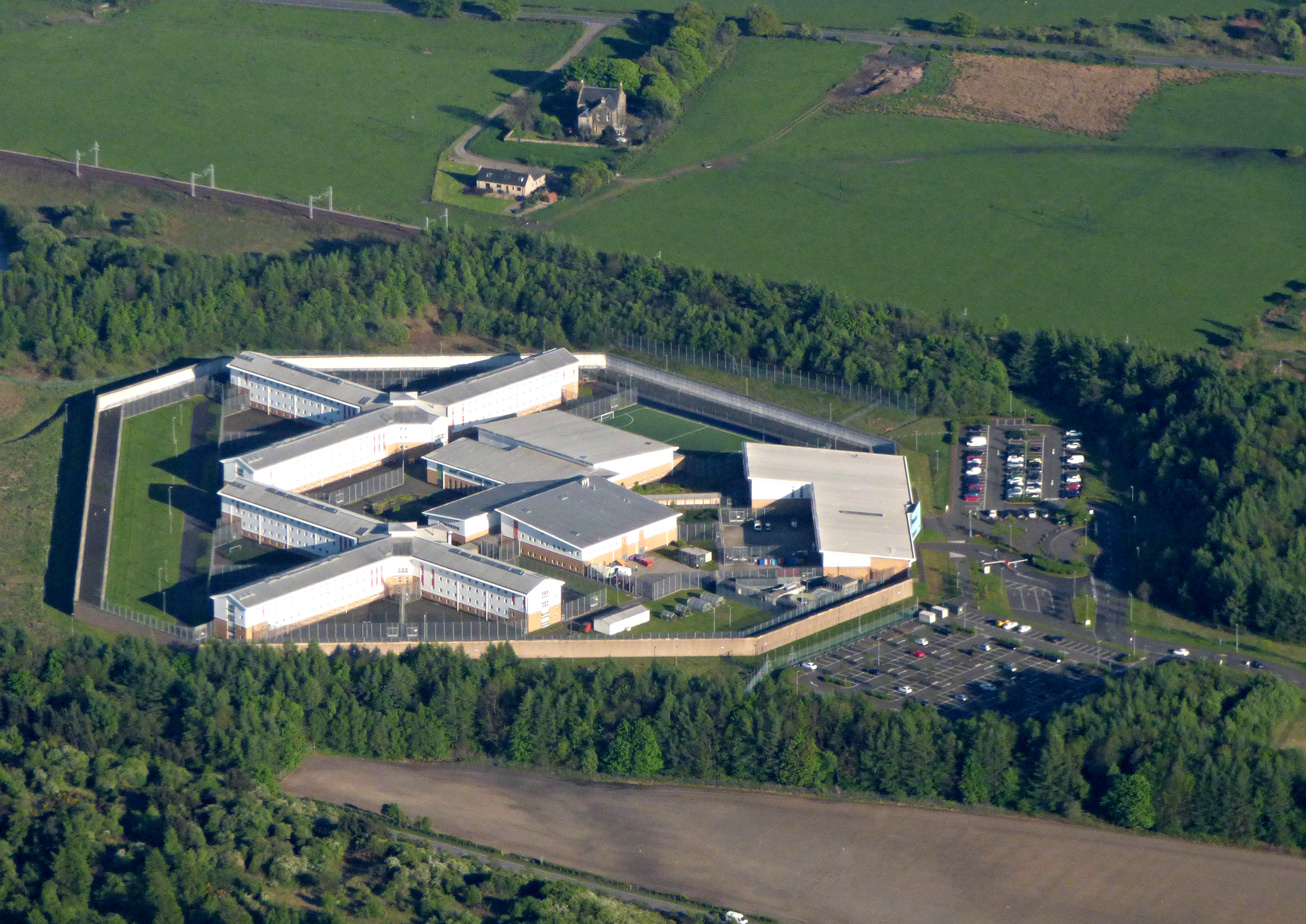
HM Prison Addiewell
HMP Addiewell is a private prison located near to the village of Addiewell in West Lothian, Scotland. HMP Addiewell is operated by Sodexo Justice Services...
Burngrange mining disaster
Burngrange is an area of the Scottish village West Calder. Situated at the far west of the village it mainly consists of housing constructed for the areas...

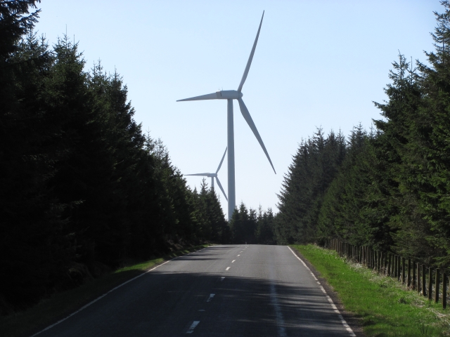
Pates Hill Wind Farm
Pates Hill Wind Farm is located near the village of West Calder in West Lothian, Scotland. It consists of 7 Vestas V-80 wind turbines, measuring 107 metres...
Castle Greg
Castle Greg is the archaeological remains of a Roman fortlet in Harburn on the Camilty Plantation, approximately three miles south-east of West Calder...
Stoneyburn
Stoneyburn is a village in West Lothian, Scotland. Nearby towns include Bathgate, Whitburn, Addiewell and Blackburn. == Geography == Stoneyburn is situated...

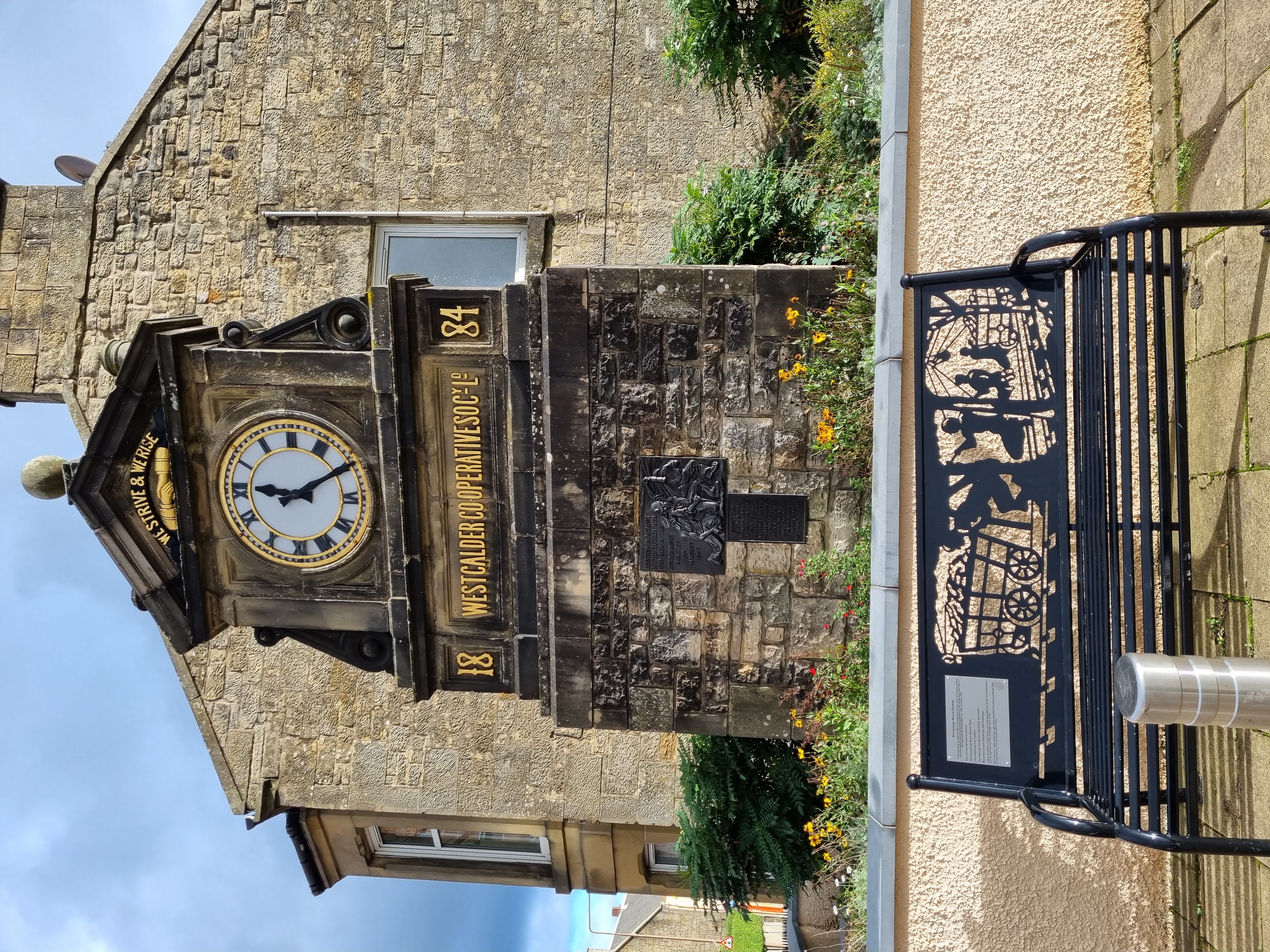
West Calder
West Calder (Scots: Wast Cauder, Scottish Gaelic: Caladar an Iar) is a village in the council area of West Lothian, Scotland, located four miles west of...
Nearby Amenities
Located within 500m of 55.830323,-3.6017399Have you been to West Mains Crofts?
Leave your review of West Mains Crofts below (or comments, questions and feedback).